The best walks and hikes around Bray-Sur-Seine
4.0
(8)
33
hikers
5
hikes
Hiking around Bray-Sur-Seine offers routes through the flat, agricultural landscapes and along the Seine river. The region is characterized by gentle terrain with minimal elevation changes, making it suitable for accessible walks. Trails often connect small villages and rural areas, providing a tranquil outdoor experience. The area's low-lying nature means routes typically follow riverbanks or traverse open fields.
Best hiking trails around Bray-Sur-Seine
- The most popular hiking route is Villiers-sur-Seine Loop, a 5.6 miles (9.0 km) trail that takes 2 hours 17 minutes to complete. This moderate route explores the countryside around Villiers-sur-Seine.
- Another top favourite among local hikers is Lavoir de Thénisy loop from Luisetaines, a moderate 6.3 miles (10.1 km) path. This trail features rural scenery and passes by the historic Lavoir de Thénisy.
- Local hikers also love the Lavoir de Thénisy loop from Thénisy, a 6.6 miles (10.6 km) trail leading through open fields and village surroundings, often completed in about 2 hours 47 minutes.
- Hiking around Bray-Sur-Seine is defined by riverine paths, open agricultural land, and quiet village connections. The network offers options primarily for moderate ability levels, with all 5 available routes being moderate.
- The routes in Bray-Sur-Seine are highly rated by the komoot community with an average score of 4.0 stars from over 8 reviews. More than 30 hikers have used komoot to explore Bray-Sur-Seine's varied terrain.
Last updated: July 5, 2026
4.7
(3)
6
hikers
9.04km
02:17
10m
10m
Moderate hike. Good fitness required. Easily-accessible paths. Suitable for all skill levels.
4
hikers
10.1km
02:39
70m
70m
Moderate hike. Good fitness required. Easily-accessible paths. Suitable for all skill levels.

Sign up for free
4
hikers
10.6km
02:47
80m
80m
Moderate hike. Good fitness required. Easily-accessible paths. Suitable for all skill levels.
4.0
(2)
8
hikers
Moderate hike. Good fitness required. Easily-accessible paths. Suitable for all skill levels.
3.5
(2)
4
hikers
Moderate hike. Good fitness required. Easily-accessible paths. Suitable for all skill levels.
Our route recommendations are based on thousands of hikes, rides, and runs completed by other people on komoot.
Start today with a free account
Your next adventure awaits.
Login or Signup

Tips from the Community

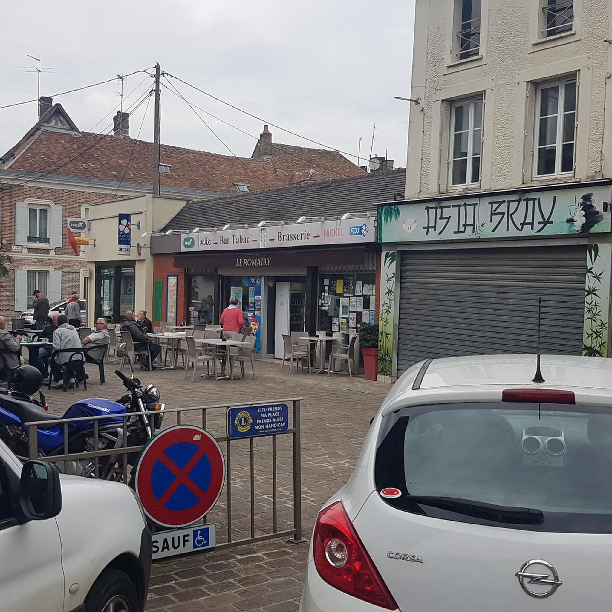
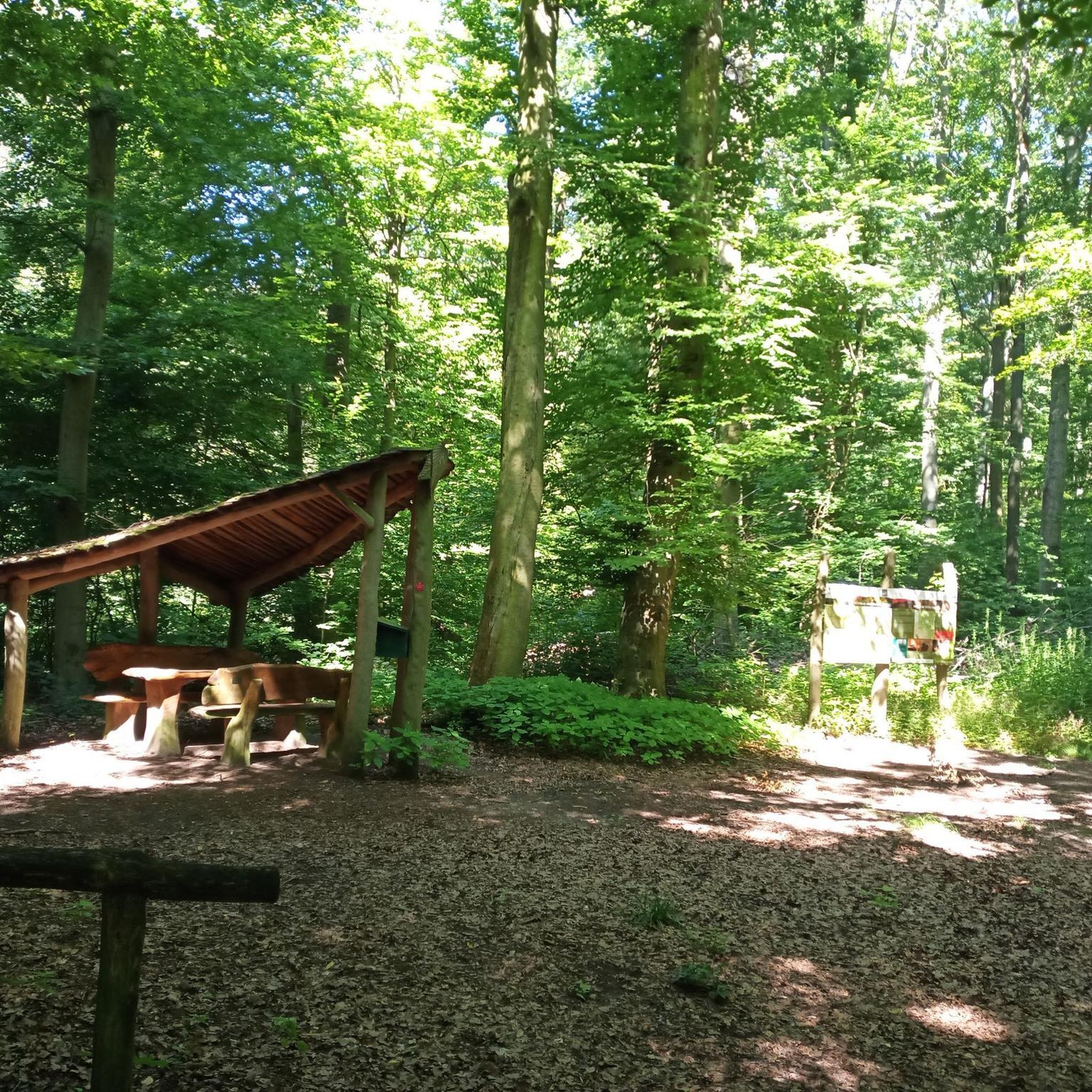
Hello or good evening, This hike should not be attempted under any circumstances! The route is impassable: It crosses fields and private property. Furthermore, the beautiful old lock looks more like a brand-new lock. I say "looks like" because it's impossible to get close to it; everything is ugly fenced for a long distance. And as for the paths that are actually field edges, I didn't count the number of hunters' lodges. I felt like I was in an American horror movie set in the heart of Cajun territory; there was even a live pigeon in a trap to serve as bait for... What? A fox, maybe? I also didn't count the astounding number of cut trees and debris on the verges!
0
0

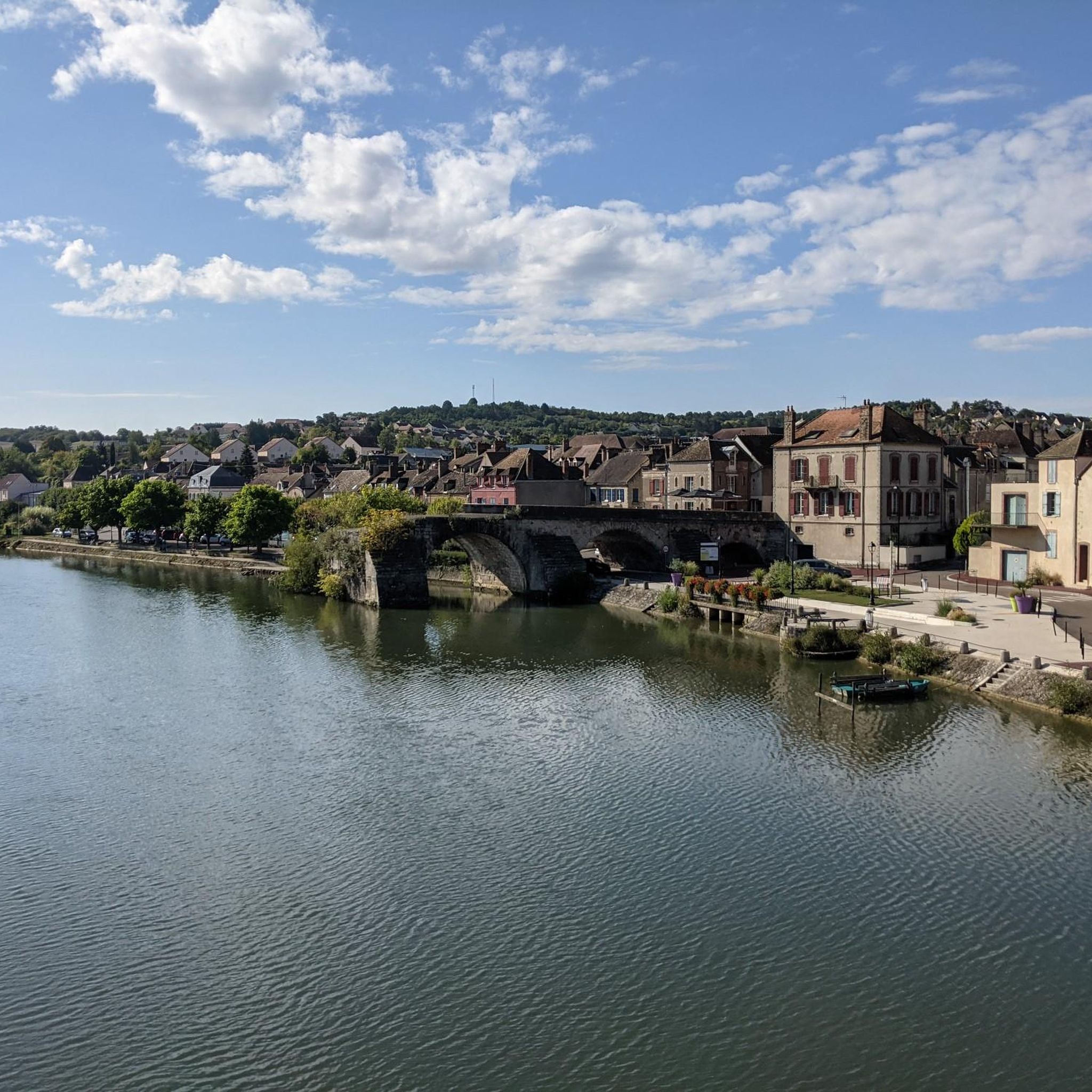
Along the Beaulieu Canal, you can take a pleasant and peaceful walk, admiring the green landscape and the picturesque locks. The canal, which dates from the 18th century, connects the Seine to the Aube and avoids the meanders of the river. You can follow the towpath for 9.1 kilometers, between Le Mériot and Noyen-sur-Seine, or make a loop passing through the villages of Melz-sur-Seine, Villiers-sur-Seine and Courceroy.
4
0

Lock dating from the 19th century renovated in 2021
0
0
Frequently Asked Questions
How many hiking trails are available in Bray-Sur-Seine?
There are 5 hiking routes available around Bray-Sur-Seine. These trails are generally moderate in difficulty, offering a tranquil outdoor experience through the region's flat, agricultural landscapes and along the Seine river.
Are the hiking trails in Bray-Sur-Seine suitable for beginners or families?
The hiking trails around Bray-Sur-Seine are generally considered moderate. While they feature gentle terrain and minimal elevation changes, making them accessible, beginners and families should review individual route details for distance and duration to ensure they match their comfort level. For example, the Villiers sur Seine lock – Château de Noyen-sur-Seine loop from Noyen-sur-Seine is one of the shorter moderate options.
Are there any circular walks in Bray-Sur-Seine?
Yes, all the hiking routes in Bray-Sur-Seine are circular. This allows for convenient exploration of the area without needing to retrace your steps. Examples include the popular Villiers-sur-Seine Loop and the Lavoir de Thénisy loop from Luisetaines.
What kind of scenery can I expect on hikes around Bray-Sur-Seine?
Hikes around Bray-Sur-Seine offer views of flat, agricultural landscapes, open fields, and paths along the Seine river. The region is characterized by gentle terrain and connects small villages, providing a peaceful rural experience.
What is the typical length and duration of hikes in Bray-Sur-Seine?
The hiking routes in Bray-Sur-Seine vary in length, generally ranging from approximately 5.2 miles (8.4 km) to 9.9 miles (15.9 km). Durations typically range from about 2 hours 6 minutes to 4 hours 1 minute, depending on the specific trail and your pace. For instance, the Château de Noyen-sur-Seine – Villiers sur Seine lock loop from Noyen-sur-Seine is one of the longer options.
Are dogs allowed on the hiking trails in Bray-Sur-Seine?
While specific restrictions can vary, many trails in rural, agricultural areas like Bray-Sur-Seine are generally dog-friendly. However, it's always recommended to keep dogs on a leash, especially when passing through farmlands or near livestock, and to respect local signage. Always carry water for your dog and clean up after them.
What do other hikers enjoy most about hiking in Bray-Sur-Seine?
The hiking routes in Bray-Sur-Seine are highly rated by the komoot community, with an average score of 4.0 stars. Hikers often praise the tranquil atmosphere, the gentle terrain suitable for relaxed walks, and the opportunity to explore the peaceful rural scenery and riverbanks.
Are there any specific points of interest or landmarks along the trails?
Some routes, like the Lavoir de Thénisy loop from Luisetaines and the Lavoir de Thénisy loop from Thénisy, pass by the historic Lavoir de Thénisy. The region's charm lies in its quiet villages and the natural beauty of the Seine river and surrounding agricultural lands.
Is public transport available to reach the hiking trails in Bray-Sur-Seine?
Bray-Sur-Seine is a rural area, and public transport options directly to trailheads might be limited. It's advisable to check local bus schedules or consider driving to the starting points of the trails. Many routes begin and end in villages, which may have some public transport connections or parking facilities.
Where can I find parking for hiking trails in Bray-Sur-Seine?
As many trails start and end in or near villages, you can often find parking in village centers or designated public parking areas. For routes like the Château de Noyen-sur-Seine – Villiers sur Seine lock loop from Noyen-sur-Seine, starting points in towns like Noyen-sur-Seine typically offer parking options. Always look for official parking signs and be mindful of local residents.
What is the best time of year for hiking in Bray-Sur-Seine?
The gentle terrain and open landscapes of Bray-Sur-Seine make it suitable for hiking during most of the year. Spring and autumn offer pleasant temperatures and beautiful scenery, with blooming fields or colorful foliage. Summer can be warm, so early morning or late afternoon hikes are recommended. Winter hikes are also possible, but trails might be muddy, and appropriate warm clothing is essential.
Most popular routes around Bray-Sur-Seine

Get inspired with the komoot mobile app


Explore more
Browse the best Hikes in other regions.
