The best walks and hikes around Reichental
4.5
(167)
1,539
hikers
74
hikes
Hiking trails around Reichental traverse a landscape characterized by forests, small ponds, and agricultural estates. The region offers a variety of routes, predominantly easy, with some moderate options. The terrain generally features gentle elevation changes, making it accessible for different fitness levels.
Best hiking trails around Reichental
- The most popular hiking route is Info board – Three Forests Estate loop from Bertrambois, a 4.3 miles (7.0 km) trail that takes 1 hour 50 minutes to complete. This easy route…
Last updated: July 5, 2026
4.5
(8)
120
hikers
6.96km
01:50
60m
60m
Easy hike. Great for any fitness level. Easily-accessible paths. Suitable for all skill levels.
4.8
(13)
69
hikers
Easy hike. Great for any fitness level. Easily-accessible paths. Suitable for all skill levels.

Sign up for free
4.3
(3)
73
hikers
6.01km
01:36
60m
70m
Easy hike. Great for any fitness level. Easily-accessible paths. Suitable for all skill levels.
5.0
(1)
32
hikers
9.20km
02:29
120m
120m
Moderate hike. Good fitness required. Easily-accessible paths. Suitable for all skill levels.
5.0
(1)
26
hikers
4.54km
01:13
60m
60m
Easy hike. Great for any fitness level. Easily-accessible paths. Suitable for all skill levels.
Get access to more routes and recommendations from other explorers.
Sign up for free
Already have an account?
Our route recommendations are based on thousands of hikes, rides, and runs completed by other people on komoot.
Start today with a free account
Your next adventure awaits.
Login or Signup


Tips from the Community

Awesome facility and always lots going on :-)
0
0

A smaller obstacle is this footbridge on the EV5. You either take the luggage off the bike or you push the bike and luggage together over to the other side.
2
0
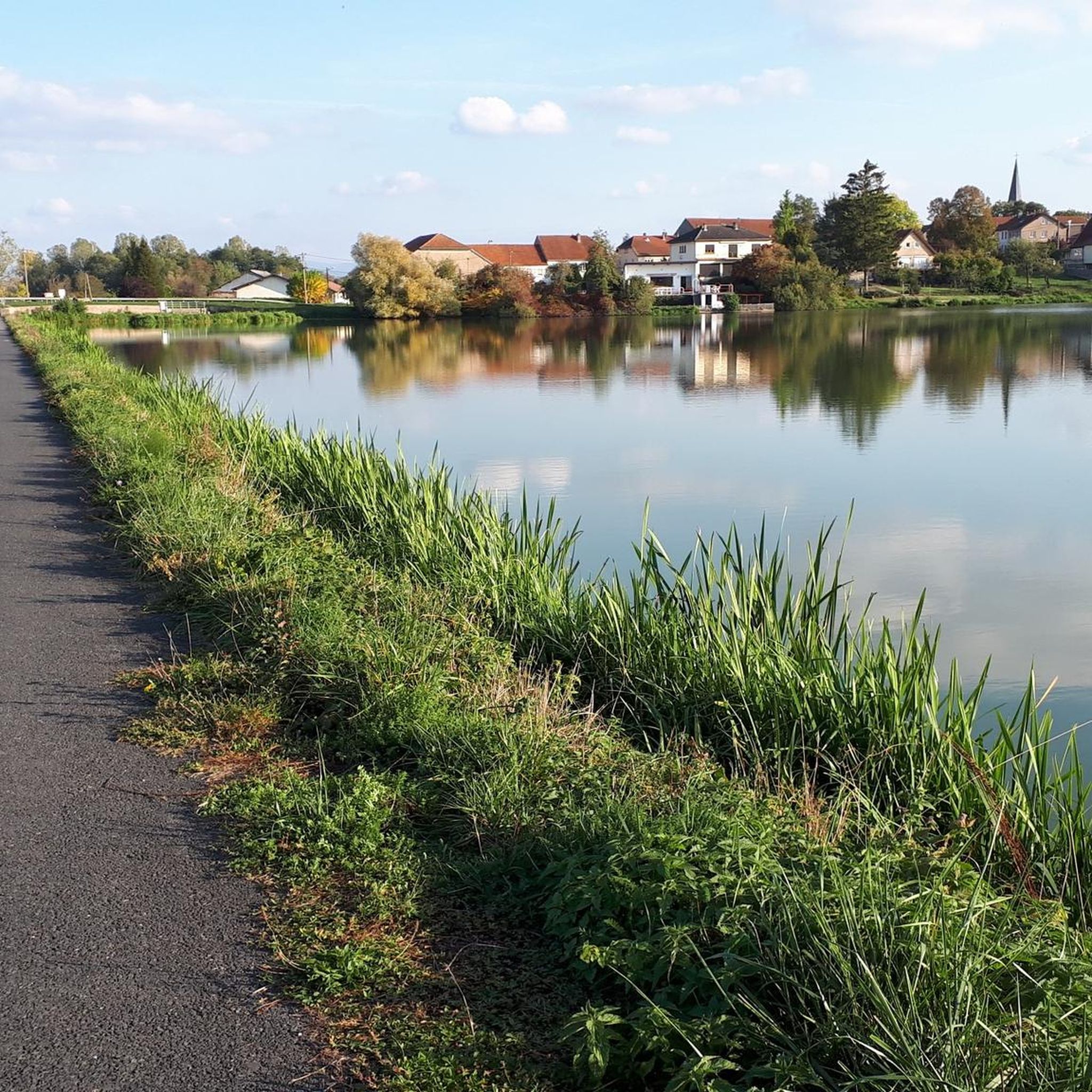
Super nice cycle path along the canal.
2
0

This bridge is a real challenge with a touring bike loaded with a lot of luggage and cannot be managed by women without courageous help. What a joke it is that it is "easy to cross"!!!
0
1

Everything was super nice, highly recommended
0
0

An absolute highlight, because from up there you can see the lake district and the Vosges 🚵♂️
0
0

Easy to cross on foot and by bike
0
0

Between the two ponds of Gondrexange, this bridge crosses the canal of the Saar coal mines to allow passage from one bank to the other. Climbing its steps takes a little height to admire the magnificent landscape of the lakes with the Vosges in the background.
3
0
Frequently Asked Questions
How many hiking trails are available around Reichental?
There are over 70 hiking trails available around Reichental. The majority of these, about 60, are classified as easy, with an additional 14 moderate options, making the area accessible for various fitness levels.
What is the typical terrain like for hiking in Reichental?
The terrain around Reichental is generally characterized by gentle elevation changes. Hikers can expect to traverse woodlands, pass by small ponds, and explore agricultural estates, offering a varied and pleasant landscape.
Are there any circular hiking routes in Reichental?
Yes, many of the trails around Reichental are circular routes. For example, the Info board – Three Forests Estate loop from Bertrambois is a popular circular option that explores forested areas and open land.
What kind of natural features or landmarks can I expect to see while hiking?
While hiking around Reichental, you'll encounter numerous small ponds and forested areas. Notable highlights include the Gondrexange Little Pond and the ponds "la cornée de Réchicourt" and "Gondrexange". You might also spot the Fairies' Rock in a forested setting.
Are there any family-friendly hiking trails in Reichental?
Yes, Reichental offers many family-friendly options due to its predominantly easy trails and gentle elevation changes. Routes like the Crossing the small pond – Gondrexange Little Pond loop from Gondrexange are ideal for families looking for a pleasant stroll with scenic views of water bodies.
What do other hikers enjoy most about the trails in Reichental?
The trails in Reichental are highly rated by the komoot community, with an average score of 4.4 stars from over 160 reviews. Hikers often praise the quiet woodlands, the serene small ponds, and the overall accessibility of the routes for different ability levels.
Is Reichental suitable for winter hiking?
While the guide data doesn't specifically detail winter conditions for this Reichental, regions with similar forest and valley landscapes often offer tranquil winter hiking experiences. It's advisable to check local conditions and trail accessibility before heading out in winter.
Are there any longer, more challenging routes for experienced hikers?
While most trails are easy to moderate, there are some longer options. The Three Forests Estate – SPIELHALLE CENTER PARK loop from Hattigny is a moderate 10 km route that provides a longer experience through the area's characteristic woodlands.
Where can I find parking for hiking trailheads in Reichental?
Specific parking information for individual trailheads is best found on the detailed komoot tour pages. Generally, areas around popular starting points like Bertrambois or Hattigny, as mentioned in some route descriptions, often have designated parking facilities for hikers.
What is the best time of year to go hiking in Reichental?
The guide data does not specify a 'best' time, but given the landscape of woodlands and ponds, spring and autumn are typically excellent for hiking, offering pleasant temperatures and beautiful foliage. Summer is also suitable, though it can be warmer.
Are there any points of interest related to water or canals?
Yes, the area features several points of interest related to water. You can explore the Great Lock of Réchicourt and the Canal de la Marne au Rhin Cycle Path, which offers scenic views alongside the water.
Most popular attractions around Reichental

Get inspired with the komoot mobile app


Explore more
Browse the best Hikes in other regions.
