The 20 Most Amazing Peaks around Cazeaux-De-Larboust
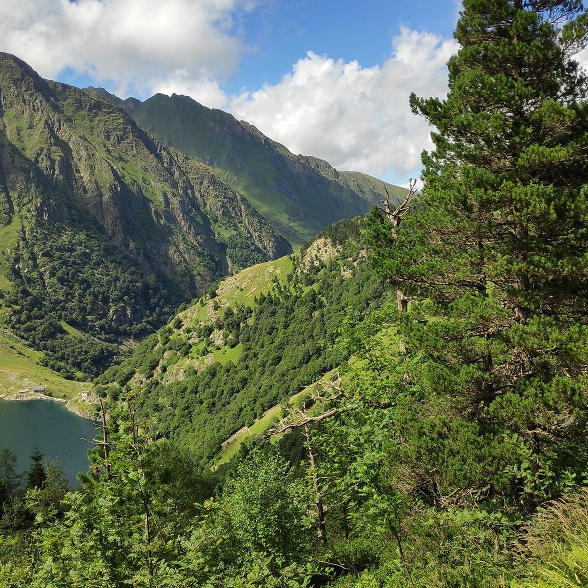
Best mountain peaks around Cazeaux-De-Larboust are found in the French Pyrenees, a region known for its high mountain environment. This area serves as a base for exploring numerous summits that offer expansive views and varied ascents. The terrain includes peaks exceeding 3,000 meters, situated on the Franco-Spanish border. It is a destination for outdoor enthusiasts seeking to engage with the natural landscape.
Best mountain peaks around Cazeaux-De-Larboust
- The most popular mountain peaks is Salvaguardia Peak, a summit that offers…
Last updated: July 7, 2026
Picada Pass
Highlight • Mountain Pass
very beautiful, with unbeatable views of the north face of Maladeta.
The path is well defined …
Translated by Google •
Tip by

Saunères Hut
Highlight • Mountain Hut
Translated by Google •
Tip by

Sign up now to discover places like this
Get recommendations on the best single tracks, peaks, & plenty of other exciting outdoor places.
Sign up for free
Portillon Refuge
Highlight • Mountain Hut
Translated by Google •
Tip by

Salvaguardia Peak
Highlight • Summit
To Puerto de Benasque good trails. Also suitable for …
Translated by Google •
Tip by

Perdiguero Peak
Highlight • Summit
Translated by Google •
Tip by

Sign up for free to discover even more peaks around Cazeaux-De-Larboust.
Sign up for free
Already have an account?
Start today with a free account
Your next adventure awaits.
Login or Signup
Popular around Cazeaux-De-Larboust

Panoramic Pyrenees – 15 hikers' peaks of over 3,000 metres
Hiking around Cazeaux-De-Larboust
MTB Trails around Cazeaux-De-Larboust
Running Trails around Cazeaux-De-Larboust
Cycling around Cazeaux-De-Larboust
Road Cycling Routes around Cazeaux-De-Larboust

Mountain Hikes around Cazeaux-De-Larboust
Gravel biking around Cazeaux-De-Larboust
Other adventures around Cazeaux-De-Larboust

Tips from the Community

There is a camping option behind the hut. Hot meals and drinks can be ordered. Dinner and breakfast must be reserved.
1
0

This circuit starting from the beautiful little village of Artigue, will take you directly to the Saunères cabin. All along the route, you will walk with a breathtaking view of the balconies of Luchonnais. You will also overlook the city of Luchon and it is not uncommon to share this beautiful circuit with mountain bike enthusiasts.
1
0

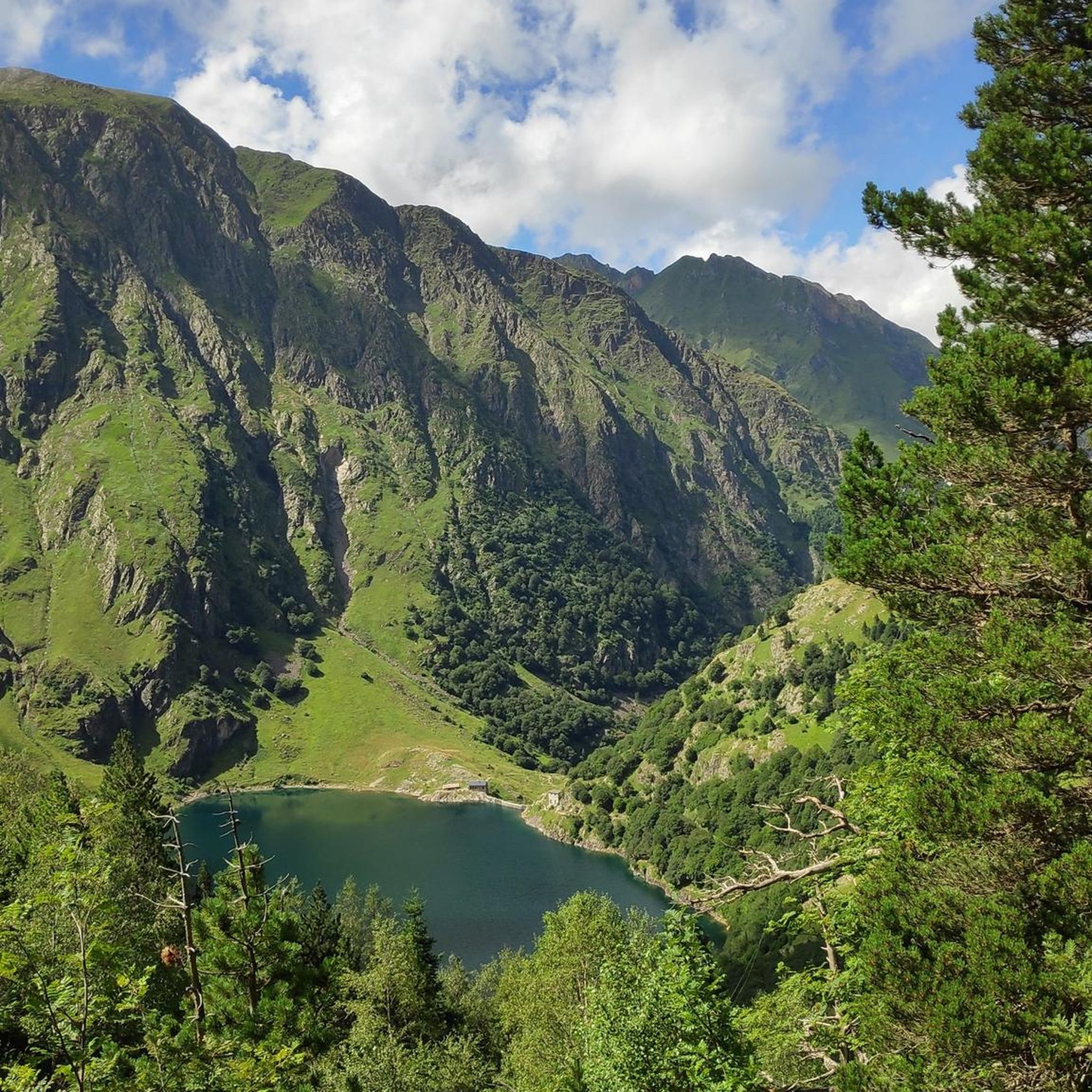
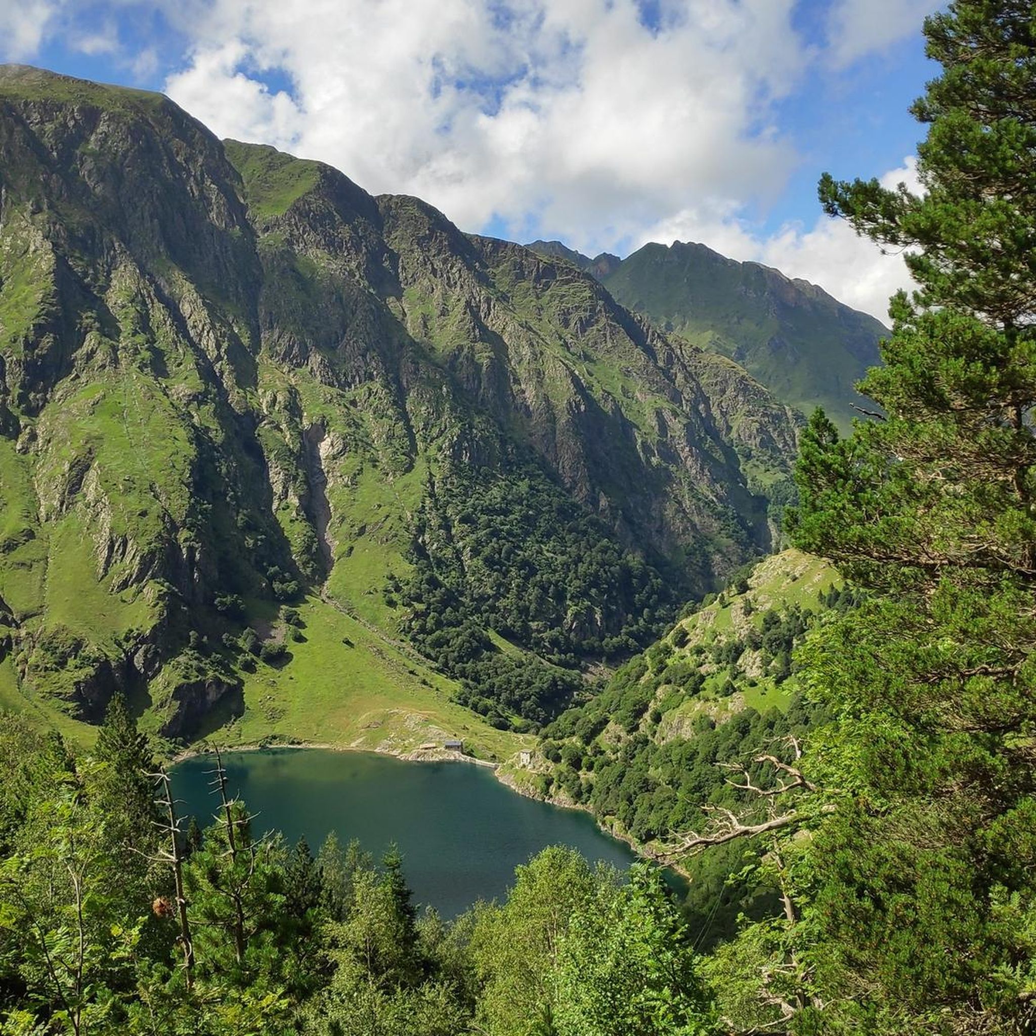
This cabin, typical of the Pyrenean mountains, offers an ideal place to stop in the shade or to spend the night. It is installed on a balcony, allowing you to admire the Luchonnais chain. As for equipment, you will find a few pans and a wooden chest with blankets. Four or five people can easily sleep there: two beds with mattresses on the ground floor, plus three beds on the floor upstairs.
1
0

Culminating at 3,222 meters above sea level, the Perdiguère peak dominates a magnificent ridge that includes several peaks exceeding 3,000 meters. Located on the Franco-Spanish border, it dominates the massif of the same name offering an absolutely incredible 360 degree panorama.
2
0
The Portillon refuge is located at an altitude of 2,570 meters on the edge of the lake of the same name. Its position allows access to 12 peaks over 3,000 meters, including the Perdhigero peak, the Gourgs Blancs peak, and the Grand Quayrat. The refuge has 80 beds. For more information: https://refugeduportillon.ffcam.fr/
1
0

From the Benasque Hospital to Puerto de la Picada, it is a simple and very beautiful, with unbeatable views of the north face of Maladeta. The path is well defined and marked by milestones until reaching Port de la Picada itself. It goes up gently in a zigzag pattern until it reaches the Basetas del Portillón, small lakes that can sometimes be found dry. From here, we turn right, looking for an easterly orientation to overcome the last slope that leaves us at Port de la Picada. On the other side, you can see small lakes called Bom des Clòts de Lunfèrn and the Valley that descends towards Artiga de Lin (Vall d'Aran).
1
0

The Perdiguero massif and the peak with the same name are the third highest of the area after Aneto and Posets. You can access it's summit from the Estós Valley in one bug oush or by spending the night in the refuge.
1
0

Pico Perdiguero is a beautiful Pyrenean peak located between Aragon and Haute-Garonne. It serves as a natural border between Spain and France and is one of the most visited peaks by mountain-loving athletes. There are two hypotheses about the origin of the name of this fabulous peak: The first, perhaps alluding to the abundance of this species in other times on the slopes, suggests that it comes from the name partridge. The second, also considered the most probable, points out that it comes from the deer formation, as there are so many stones in this mountain that some say, in an exaggerated way, that the mountain could be completely dismantled and reduced to nothing pulling stone by stone each of which is part of it.
1
0
Frequently Asked Questions
What are some of the most notable mountain peaks around Cazeaux-De-Larboust?
The region around Cazeaux-De-Larboust is home to several impressive peaks. Among the most notable are Pic Perdiguère (3,222 m), Pic occidental des Crabioules (3,106 m), Grand Quayrat (3,060 m), and Pic Lezat (3,107 m). These peaks offer challenging ascents and breathtaking panoramic views.
Which peaks offer the best panoramic views in the Cazeaux-De-Larboust area?
For truly expansive views, Pic Perdiguère (3,222 m) is renowned for its incredible 360-degree panorama from the Franco-Spanish border. Salvaguardia Peak also offers a phenomenal panoramic view of Luchon and the mountains of the Valle de Benasque, as well as the Pyrenees and France. Additionally, Sommet de la Coume de Bourg provides magnificent views of the entire central Pyrenees range.
Are there any mountain huts or refuges available for overnight stays or breaks?
Yes, the area features several huts. The Portillon Refuge is located at 2,570 meters next to a lake and provides access to many 3,000-meter peaks. It has 80 beds, and camping options are available nearby. Hot meals and drinks can be ordered with a reservation. Another option is Saunères Hut, a typical Pyrenean cabin offering a place to stop or spend the night, with views of the Luchonnais chain.
What are some challenging mountain peaks for experienced mountaineers near Cazeaux-De-Larboust?
Experienced mountaineers can tackle peaks like Pic Perdiguère, Pic Lezat, Maupas (3,109 m), and Pic de Boum (3,006 m). These often involve significant fitness and experience, with some routes like Pic de Cagire requiring ice axes and mountaineering crampons in winter due to potential ice formation.
Are there any family-friendly mountain trails or peaks suitable for children and dogs?
While many peaks in the region are challenging, the trails leading to Salvaguardia Peak from Puerto de Benasque are generally considered good and suitable for children and dogs. However, a specific section on Salvaguardia involves a narrow path with a steel cable, which might require caution for very young children, though it's typically not an obstacle for older children and dogs.
What kind of outdoor activities can I do near the mountain peaks of Cazeaux-De-Larboust?
Beyond peak bagging, the region offers a variety of outdoor activities. You can explore numerous MTB trails, go running on scenic routes, or enjoy road cycling routes that traverse mountain passes and valleys.
What is the best time to visit the mountain peaks around Cazeaux-De-Larboust?
The best time to visit for hiking and mountaineering is typically during the warmer months, from late spring to early autumn, when trails are generally clear of snow and ice. Winter ascents, especially on peaks like Pic de Cagire, can be particularly dangerous and require specialized equipment such as ice axes and crampons.
Are there any specific mountain passes with notable views?
Yes, Picada Pass is a significant mountain pass offering unbeatable views of the north face of Maladeta. The path to it is well-defined and marked by milestones, passing by small lakes.
What natural features can I expect to see when exploring the peaks?
The high mountain environment around Cazeaux-De-Larboust features stunning natural beauty. You'll encounter dramatic ridges, alpine lakes (such as Lac du Portillon near the Portillon Refuge and the Basetas del Portillón near Picada Pass), and diverse flora and fauna typical of the Pyrenees.
What do visitors enjoy most about the mountain peaks in this region?
Visitors frequently praise the incredible panoramic views from the summits, the challenging yet rewarding ascents, and the opportunity to immerse themselves in the pristine high mountain environment. The presence of well-located refuges also enhances the experience for multi-day trips.
Are there any specific regulations for dog-friendly hiking in the Cazeaux-De-Larboust mountain areas?
While some trails, like those leading to Salvaguardia Peak, are generally considered suitable for dogs, it's always advisable to check local regulations for specific areas, especially within national parks or protected zones, regarding leash requirements and access restrictions for pets.
Most popular routes around Cazeaux-De-Larboust
Most popular attractions around Cazeaux-De-Larboust

Get inspired with the komoot mobile app


Explore more
See even more amazing summits around Cazeaux-De-Larboust with these guides:
