The best running trails around Larceveau-Arros-Cibits
4.3
(14)
992
runners
72
runs
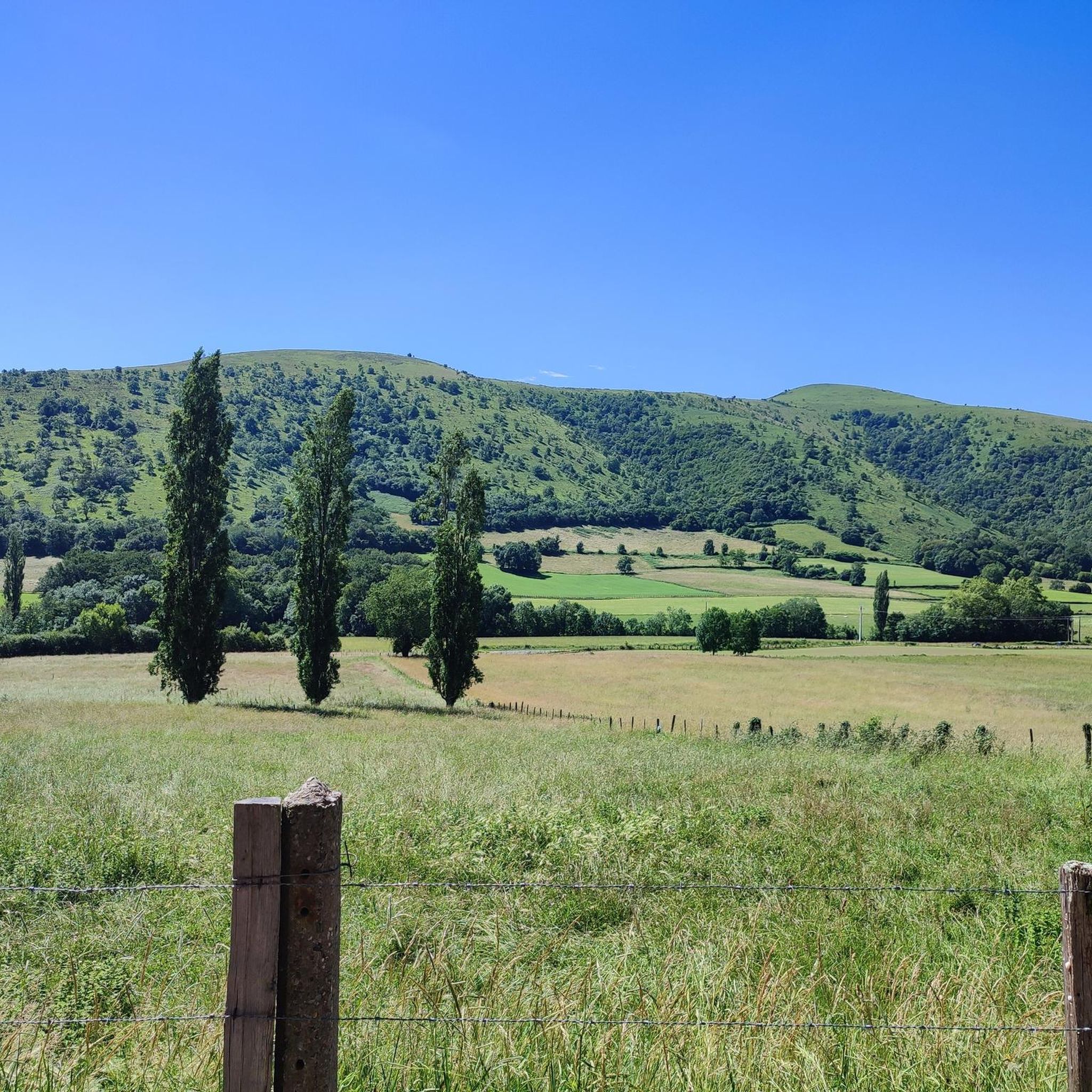
Jogging around Larceveau-Arros-Cibits offers diverse landscapes within the Pyrénées-Atlantiques department of south-western France. The region features varied terrain, from mountainous trails with significant elevation changes to flatter paths along the River Bidouze. Runners can expect a mix of unpaved natural trails and some paved surfaces, providing options for different preferences. This area is situated in the heart of the Basque Country, with routes often providing views of the Pyrenees mountains.
Best jogging routes around Larceveau-Arros-Cibits
- The most popular jogging route…
Last updated: June 29, 2026
13
runners
13.4km
01:46
470m
470m
Hard run. Very good fitness required. Mostly paved surfaces. Suitable for all skill levels.
9
runners
14.0km
01:43
390m
390m
Hard run. Very good fitness required. Mostly paved surfaces. Suitable for all skill levels.

Sign up for free
7
runners
8.66km
01:13
360m
360m
Hard run. Very good fitness required. Mostly accessible paths. Some sure footedness required.
10
runners
23.5km
03:00
700m
690m
Hard run. Very good fitness required. Mostly paved surfaces. Suitable for all skill levels.
6
runners
7.35km
00:47
80m
80m
Moderate run. Good fitness required. Mostly paved surfaces. Suitable for all skill levels.
Get access to more routes and recommendations from other explorers.
Sign up for free
Already have an account?
Our route recommendations are based on thousands of hikes, rides, and runs completed by other people on komoot.
Start today with a free account
Your next adventure awaits.
Login or Signup
Tips from the Community


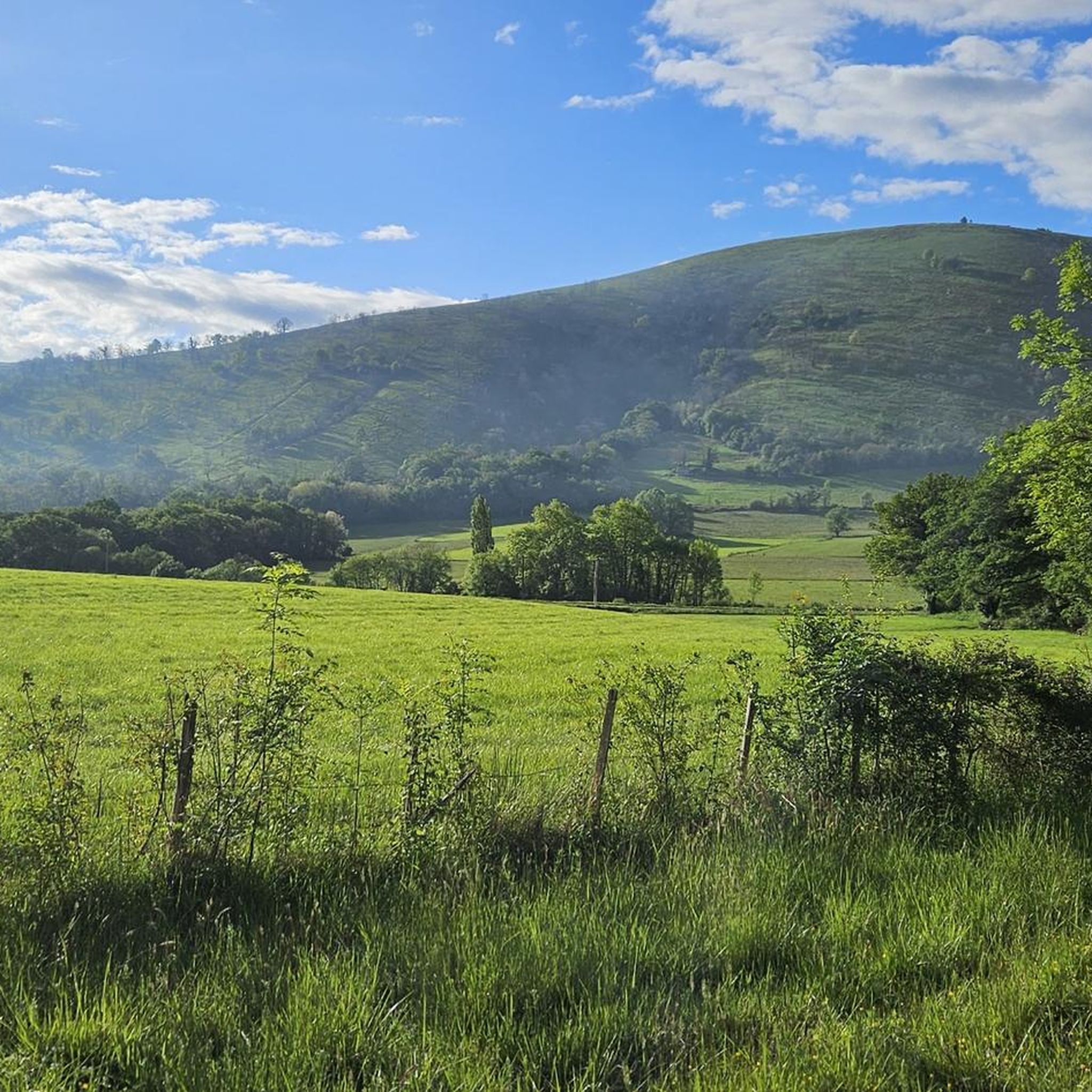
beautiful view, there is water and, if necessary, a rainproof place (for a maximum of 2 people), it is on the Way of St. James and you often meet other hikers or cyclists
0
0


The Ipharlatze pass (or Iparlatze pass, in Basque Iparlatzeko lekoa) is a pass located between Lantabat and Ostabat-Asme in Lower Navarre in the Pyrénées-Atlantiques. It separates the Lantabat valley from that of Bidouze.
1
0

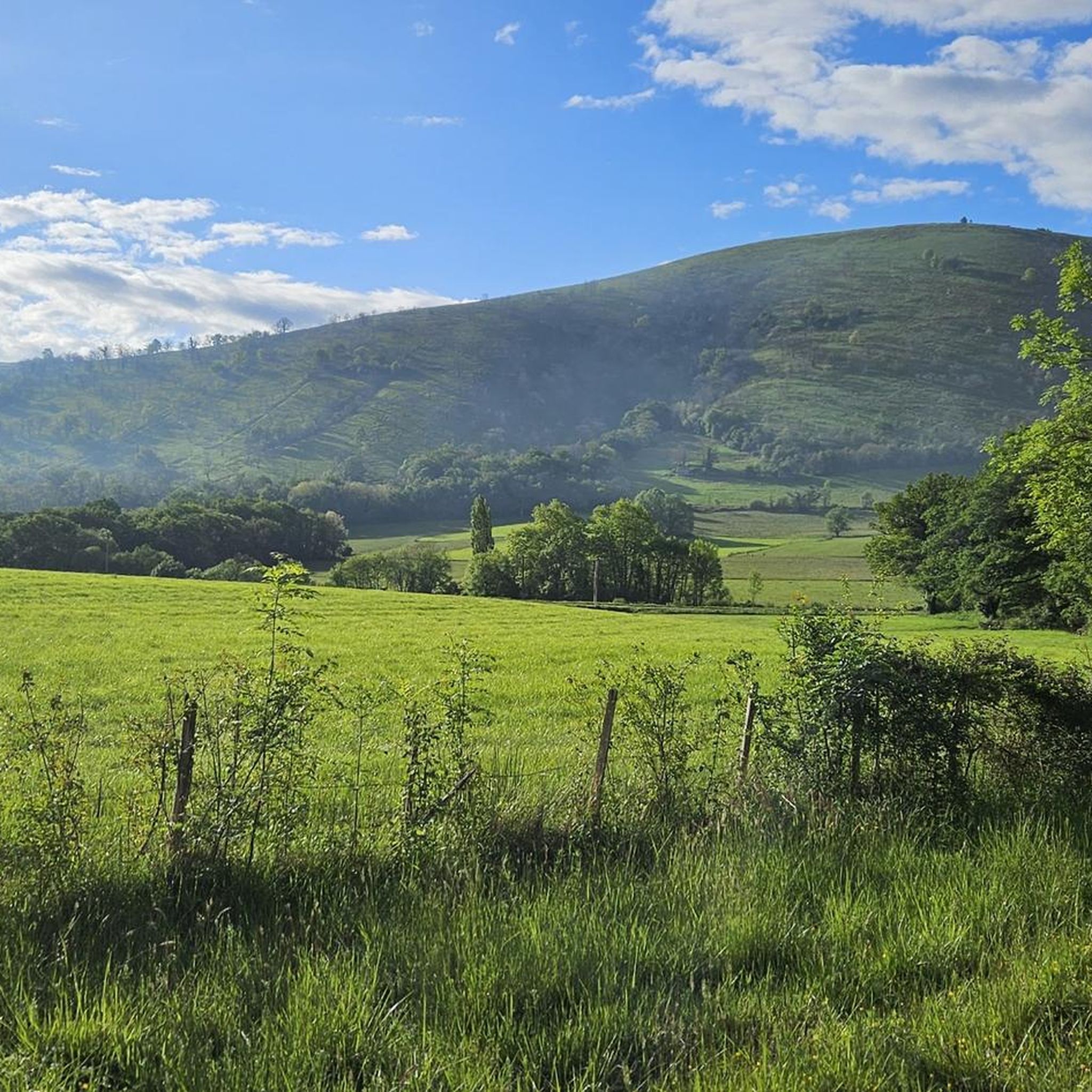
Petit col has a little more than 300m of altitude which is as accessible by road bike as by mountain bike. Unobstructed view at the top, but no water point!
0
0

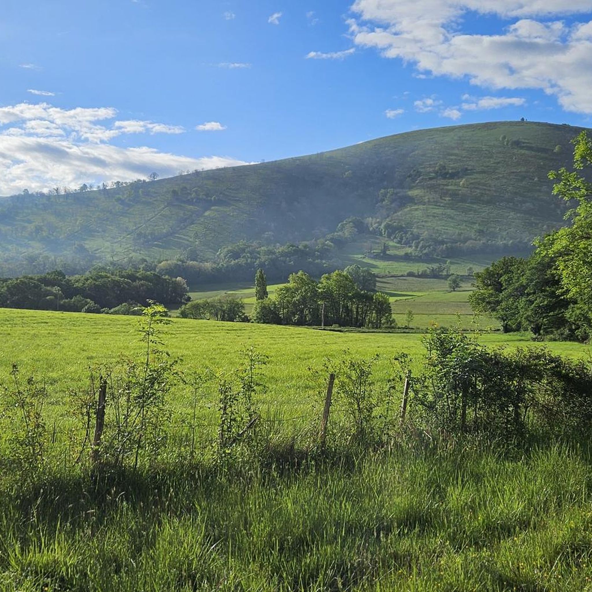
Ostabat, this beautiful Basque village is located within beautiful hills. From Ostabat, there is only one way that goes over the Roncesvalles pass and follows the Camino Francès to Compostela.
2
0

The GR65 and the Great Crossing of the Basque Country by mountain bike pass right next to the chapel of Soyarza. The ascent and descent are both steep and rocky. But you will be rewarded with a beautiful panoramic view at an altitude of 290 meters.
0
0
Frequently Asked Questions
How many running routes are available around Larceveau-Arros-Cibits?
There are over 60 dedicated running routes in the Larceveau-Arros-Cibits area, offering a wide variety of options for all fitness levels. These include 2 easy, 27 moderate, and 39 difficult trails.
What kind of terrain can I expect on the jogging trails in this region?
The region offers diverse terrain, from mountainous trails with significant elevation changes in the Pyrenees to flatter paths along the River Bidouze. You'll find a mix of unpaved natural trails and some paved surfaces, providing options for different preferences and challenges.
Are there any easy or beginner-friendly running routes?
Yes, while many routes offer a challenge, there are 2 designated easy running routes suitable for beginners or those looking for a more relaxed pace. These paths typically feature less elevation gain and gentler surfaces.
What do other runners say about the trails in Larceveau-Arros-Cibits?
The running routes in Larceveau-Arros-Cibits are highly rated by the komoot community, with an average score of 4.2 out of 5 stars from over 8 reviews. More than 700 runners have used komoot to explore the varied terrain, often praising the scenic views and diverse landscapes.
Can I find circular running routes in the area?
Yes, many of the running paths are designed as loops, allowing you to start and finish at the same point. For example, the challenging Hoxahandia loop from Suhescun and the scenic Chapelle de Soyarza loop from Uhart-Mixe are popular circular options.
Are there any historical or cultural landmarks I can see while jogging?
Absolutely. The region is rich in history. You can encounter sites like the Chapelle de Soyarza, which is featured on several routes, or the ancient Gibraltar Stele. The area is also traversed by the famous Chemin de Saint-Jacques-de-Compostelle (Camino de Santiago), offering historical paths for longer runs.
What are some of the more challenging running trails available?
For those seeking a challenge, there are 39 difficult running routes. Options include the La chapelle enchanteresse... – Chapelle de Soyarza loop from Uhart-Mixe, a 15 km trail with over 560 meters of elevation gain, and the Chapelle de Soyarza loop from Ostabat, which covers 14.5 km with over 400 meters of ascent.
What is the typical length and duration of running routes in Larceveau-Arros-Cibits?
Running routes vary significantly. You can find trails ranging from around 10 km, like the Hoxahandia loop from Suhescun (10.7 km, approx. 1 hour 29 minutes), to longer options such as the Col d'Iparlatze – Ostabat loop from Ostabat (14 km, approx. 1 hour 43 minutes). Durations depend on your pace and the elevation.
Are there any specific viewpoints or scenic spots along the running paths?
Many routes offer magnificent panoramas of the Pyrenees mountains and the Basque Country. The 'Circuit Gazteluzahar' is known for its 'magnifique belvédère' (magnificent viewpoint) at the summit of Gazteluzahar, an ancient protohistoric enclosure, providing expansive vistas.
Is Larceveau-Arros-Cibits a good place for trail running?
Yes, the region is excellent for trail running. Its diverse landscapes, including mountainous terrain and riverine paths, provide a mix of unpaved, natural trails. The extensive network of marked hiking and walking trails can often be adapted for running, offering a true trail experience.
What is the best time of year to go jogging in Larceveau-Arros-Cibits?
The Pyrénées-Atlantiques department generally offers pleasant conditions for outdoor activities for much of the year. Spring and autumn provide mild temperatures and beautiful scenery, ideal for jogging. Summer can be warm, especially at lower elevations, so early morning or late afternoon runs are often preferred. Winter runs are possible, particularly on lower trails, but higher mountain paths may be affected by snow or colder conditions.
Are there any routes that follow the Camino de Santiago?
Yes, Larceveau-Arros-Cibits is traversed by the famous Chemin de Saint-Jacques-de-Compostelle (Camino de Santiago), specifically the GR65 route. This offers well-established and historical paths that runners can follow for a unique and culturally rich jogging experience.
Most popular routes around Larceveau-Arros-Cibits
Most popular attractions around Larceveau-Arros-Cibits

Get inspired with the komoot mobile app


Explore more
Browse the best Running Trails & Routes in other regions.
