The best walks and hikes around Labastide-Paumès
4.6
(23)
144
hikers
12
hikes
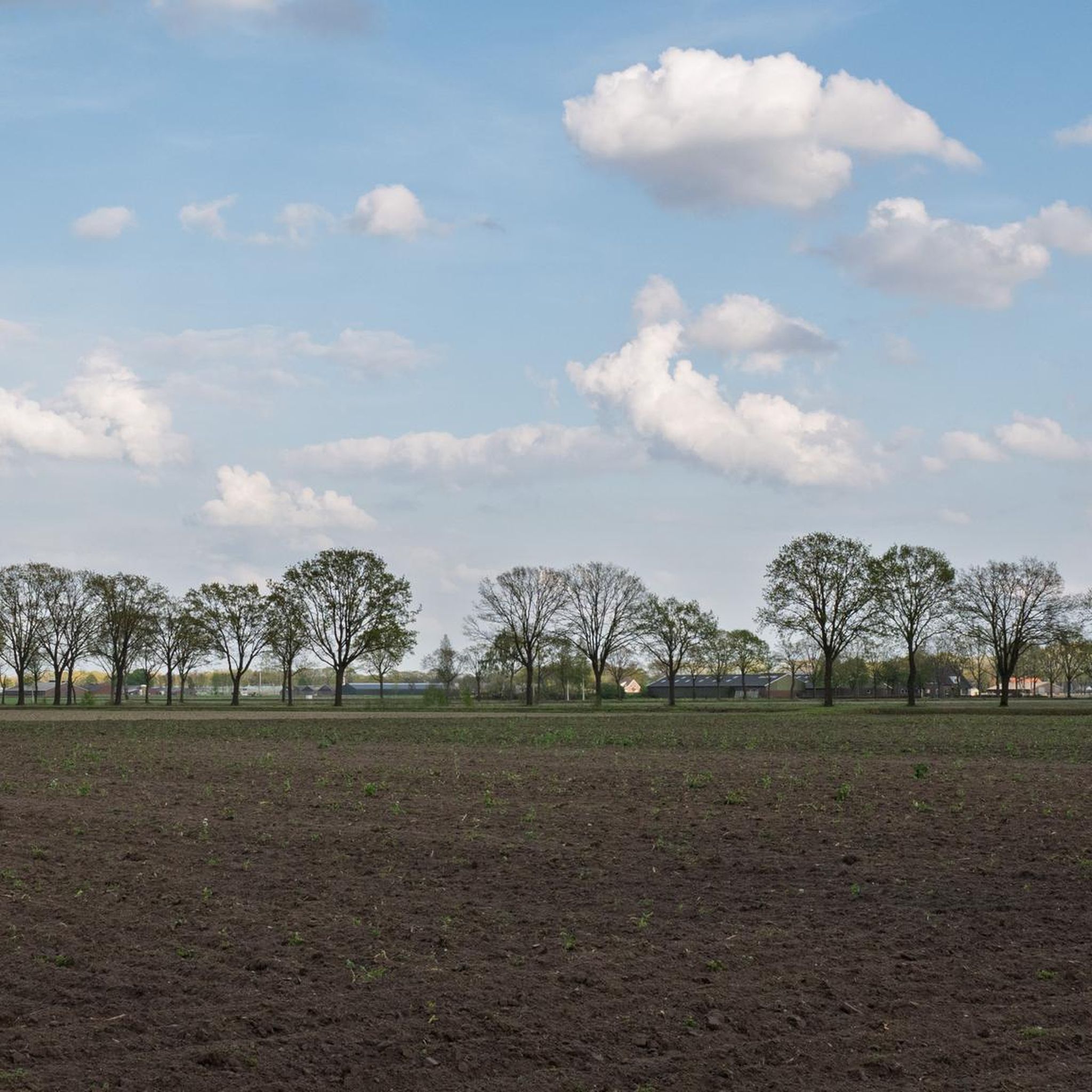
Hiking around Labastide-Paumès offers routes through the gently rolling landscapes of southwestern France, characterized by agricultural fields, scattered woodlands, and the presence of local water features like Lake Saint-André. The terrain generally features modest elevation changes, making it accessible for various activity levels. These trails provide opportunities to explore the rural environment and local villages.
Best hiking trails around Labastide-Paumès
- The most popular hiking route is Lake Saint-André. – Lac de Saint-André loop from Fabas, a 7.8 miles (12.6…
Last updated: May 22, 2026
4.3
(8)
54
hikers
12.6km
03:23
160m
160m
Moderate hike. Good fitness required. Easily-accessible paths. Suitable for all skill levels.
4.8
(4)
28
hikers
7.94km
02:08
100m
100m
Moderate hike. Good fitness required. Easily-accessible paths. Suitable for all skill levels.

Sign up for free
4.2
(5)
17
hikers
17.5km
04:49
280m
280m
Moderate hike. Good fitness required. Easily-accessible paths. Suitable for all skill levels.
11
hikers
13.9km
03:46
180m
180m
Moderate hike. Good fitness required. Easily-accessible paths. Suitable for all skill levels.
4.7
(3)
14
hikers
4.57km
01:11
20m
20m
Easy hike. Great for any fitness level. Easily-accessible paths. Suitable for all skill levels.
Get access to more routes and recommendations from other explorers.
Sign up for free
Already have an account?
Our route recommendations are based on thousands of hikes, rides, and runs completed by other people on komoot.
Start today with a free account
Your next adventure awaits.
Login or Signup
Popular around Labastide-Paumès

Tips from the Community


Beautiful place to enjoy the coolness of the forest on a hot summer day.
0
0
Many opportunities to get to the lake in the shade of the surrounding forests.
0
0
Many opportunities to reach the lake of Saint André in the shade of the surrounding forests
0
0
Frequently Asked Questions
How many hiking trails are there in Labastide-Paumès?
There are currently 11 hiking trails available around Labastide-Paumès. These routes offer a mix of easy and moderate options, primarily exploring the rural landscapes and the area around Lake Saint-André.
Are there easy hiking trails suitable for beginners in Labastide-Paumès?
Yes, Labastide-Paumès offers several easy hiking trails perfect for beginners or those seeking a relaxed walk. One such route is the Lac de Saint-André – Lake Saint-André. loop from Le Culas, which is 4.6 km long and takes about 1 hour 11 minutes to complete.
Are there any circular hiking routes around Labastide-Paumès?
Many of the trails in Labastide-Paumès are circular, allowing you to start and end at the same point. Popular options include the Lake Saint-André. – Lac de Saint-André loop from Fabas, a 12.6 km moderate route, and the Hiking loop from L'Isle-en-Dodon, which is a longer 17.5 km trail.
What is the best time of year to go hiking in Labastide-Paumès?
The best time for hiking in Labastide-Paumès is typically during spring (April to June) and autumn (September to October). During these seasons, the weather is mild and pleasant, and the natural scenery is particularly beautiful, with blooming flowers in spring and vibrant foliage in autumn. Summer can be warm, so early morning or late afternoon hikes are recommended.
Are the hiking trails in Labastide-Paumès suitable for families with children?
Yes, the gently rolling terrain and modest elevation changes make many trails in Labastide-Paumès suitable for families. Look for the 'easy' graded routes, such as the Lac de Saint-André – Lake Saint-André. loop from Le Culas, which offers a shorter distance and less challenging conditions, perfect for younger hikers.
Can I bring my dog on the hiking trails in Labastide-Paumès?
Generally, dogs are welcome on hiking trails in rural areas like Labastide-Paumès, especially if kept on a leash. However, it's always advisable to check local signage for any specific restrictions, particularly around agricultural land or protected natural areas. Always ensure your dog is under control and clean up after them.
Are there any cafes or places to eat near the hiking trails in Labastide-Paumès?
While Labastide-Paumès itself is a small village, you'll find local amenities and small cafes in nearby towns and villages such as L'Isle-en-Dodon or Cazères. It's a good idea to pack snacks and water for your hike, especially on longer routes, and plan to visit a nearby establishment before or after your adventure.
What kind of scenery can I expect on the hikes around Labastide-Paumès?
Hikes around Labastide-Paumès offer classic southwestern French rural scenery. You can expect to traverse agricultural fields, pass through scattered woodlands, and enjoy views of local water features, most notably Lake Saint-André. The terrain is generally gentle, providing a peaceful and picturesque experience.
What do other hikers enjoy most about hiking in Labastide-Paumès?
The komoot community highly rates the trails in Labastide-Paumès, with an average score of 4.6 stars. Hikers often praise the peaceful rural atmosphere, the accessibility of the routes, and the pleasant views, especially around Lake Saint-André. The well-maintained paths and opportunities for tranquil walks are frequently highlighted.
Is there public transport available to reach the hiking trailheads in Labastide-Paumès?
Public transport options directly to specific trailheads in Labastide-Paumès are limited due to its rural location. It is generally recommended to travel by car to access the starting points of the hikes. Some regional bus services might connect to larger nearby towns, but onward travel to specific trailheads would likely require a taxi or car.
Are there parking facilities available at the trailheads?
Parking is typically available in or near the villages where the trails begin, such as Fabas, Salherm, or L'Isle-en-Dodon. These are often small village car parks or designated roadside spots. Always park considerately and ensure you are not blocking access for residents or agricultural vehicles.
What is the longest hiking trail available in Labastide-Paumès?
The longest trail listed is the Hiking loop from L'Isle-en-Dodon, which spans 17.5 km and typically takes around 4 hours 48 minutes to complete. This moderate route offers an extensive exploration of the varied rural landscapes in the area.

Get inspired with the komoot mobile app


Explore more
Browse the best Hikes in other regions.
