The best walks and hikes around Saint-Ail
4.4
(746)
3,574
hikers
222
hikes
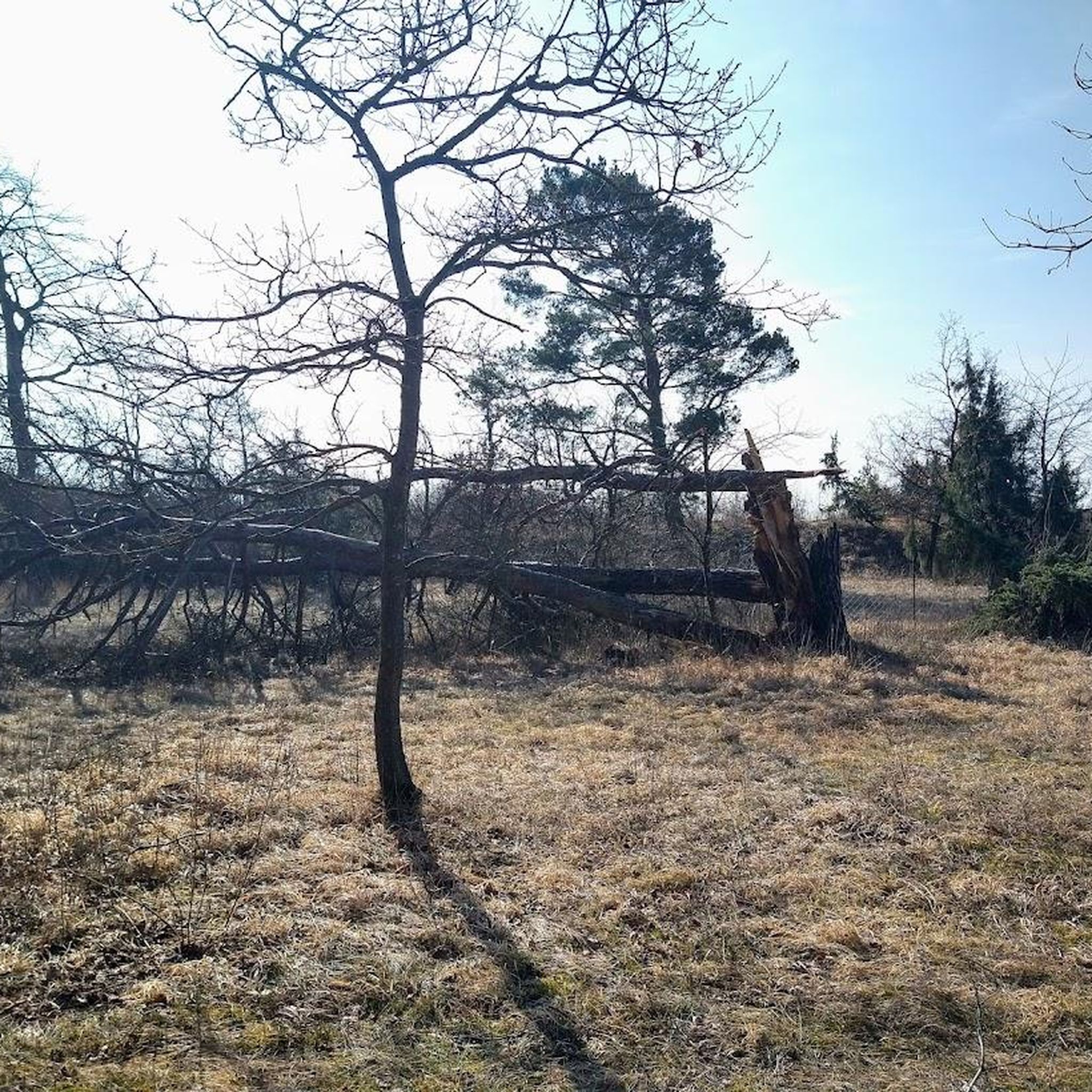
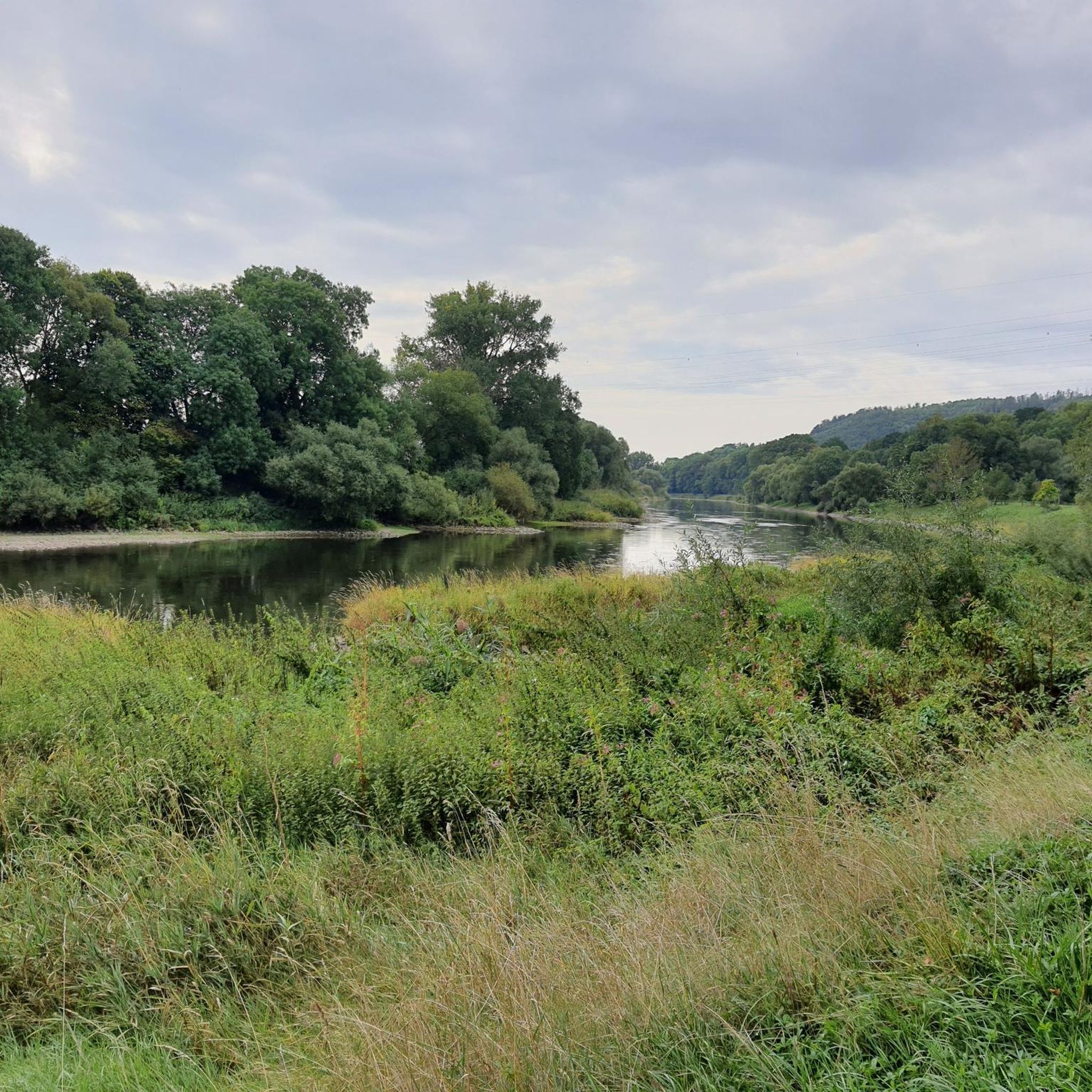
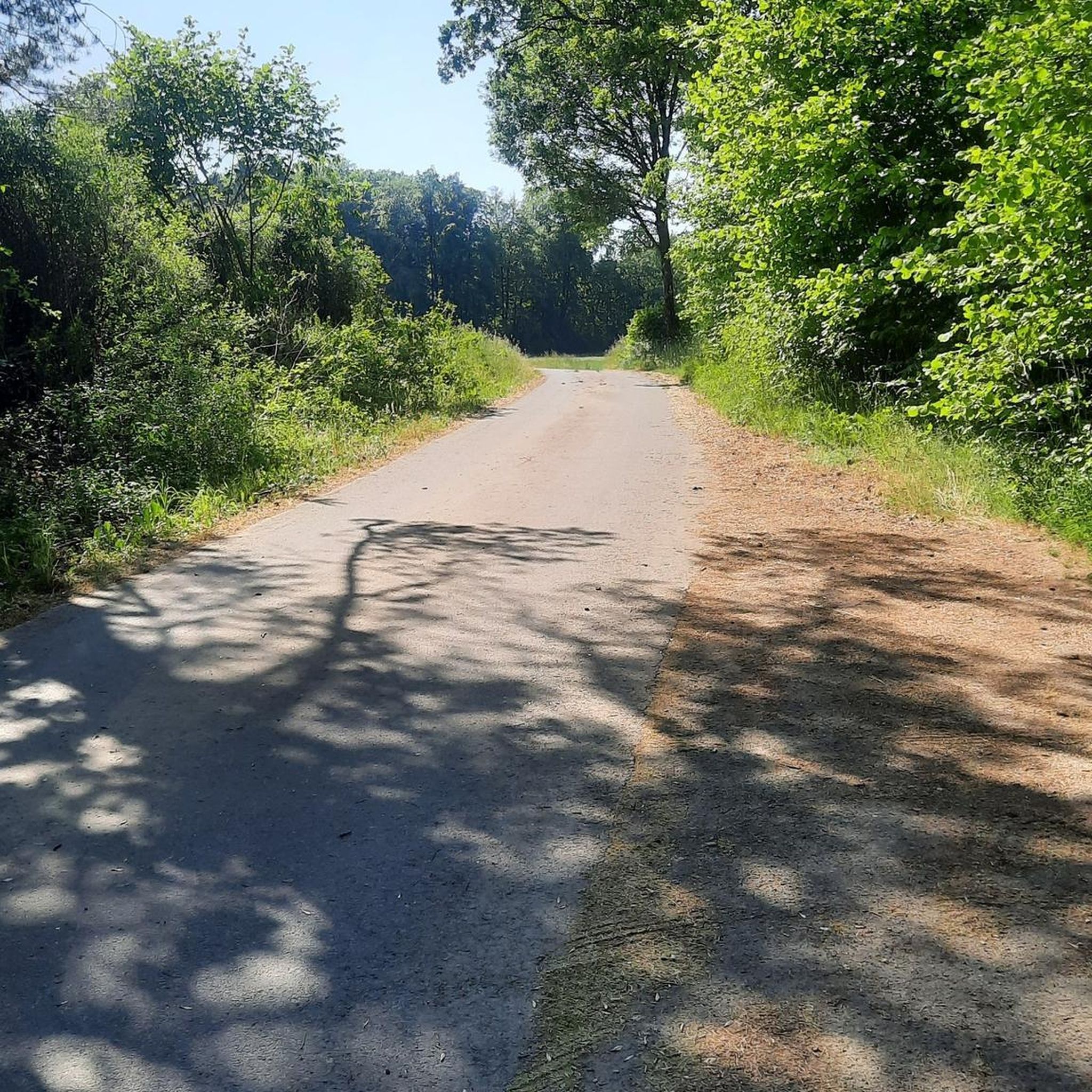
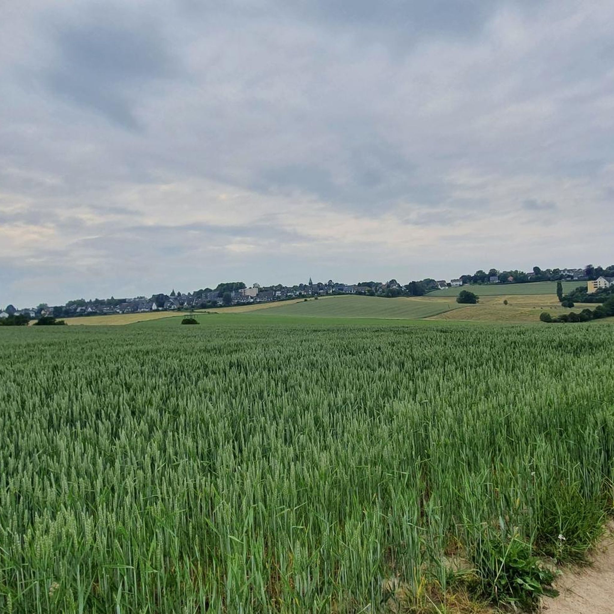
Hiking around Saint-Ail offers a variety of experiences through its characteristic landscape. The region features a mix of agricultural fields, dense woodlands, and gentle rolling terrain. Routes often incorporate historical elements and natural features like forest streams. The elevation changes are generally moderate, providing accessible options for different hiking abilities.
Best hiking trails around Saint-Ail
- The most popular hiking route is Staircase of the 360 Steps – Ruins of the Drulingen Tower loop from Amanvillers, a 9.5 miles (15.3…
Last updated: October 5, 2026
4.4
(5)
26
hikers
Moderate hike. Good fitness required. Easily-accessible paths. Suitable for all skill levels.
5.0
(3)
14
hikers
12.8km
03:35
240m
240m
Moderate hike. Good fitness required. Easily-accessible paths. Suitable for all skill levels.

11
hikers
6.74km
01:52
110m
110m
Easy hike. Great for any fitness level. Easily-accessible paths. Suitable for all skill levels.
5.0
(1)
5
hikers
8.95km
02:22
90m
90m
Moderate hike. Good fitness required. Easily-accessible paths. Suitable for all skill levels.
8
hikers
Easy hike. Great for any fitness level. Easily-accessible paths. Suitable for all skill levels.
Get access to more routes and recommendations from other explorers.
Already have an account?
Our route recommendations are based on thousands of hikes, rides, and runs completed by other people on komoot.
Start today with a free account
Your next adventure awaits.

Tips from the Community

May 5, 2024: Small stream in the forest. Very nice for hydrating and refreshing your doggie.
1
0

great view and a bench to linger
0
0

vollee de 360 walks in the forest. ideal for heating thighs
2
0
360-step flight. ideal for working the thighs
2
0
Frequently Asked Questions
How many hiking trails are available in the Saint-Ail region?
The Saint-Ail region offers a wide variety of hiking experiences, with over 190 routes available. These range from easy strolls to more challenging treks, ensuring options for all fitness levels.
Are there easy hiking trails suitable for beginners in Saint-Ail?
Yes, Saint-Ail has numerous easy trails perfect for beginners or those looking for a relaxed walk. There are 76 easy routes, such as the Le Bois Le Maire loop from Sainte-Marie-aux-Chênes, which is just 2.7 miles (4.4 km) long and takes about an hour to complete.
What are the typical distances for hikes around Saint-Ail?
Hiking distances in Saint-Ail vary significantly. You can find shorter loops like the Le Bois Le Maire loop at 2.7 miles (4.4 km), up to longer routes such as the Steep, difficult path – Staircase of the 360 Steps loop from Vernéville, which is over 11 miles (18 km).
Are most hiking trails in Saint-Ail circular?
Many of the popular hiking routes in Saint-Ail are designed as loops, offering convenient starting and ending points. Examples include the Staircase of the 360 Steps – Ruins of the Drulingen Tower loop from Amanvillers and the Small Forest Stream – Forest Trail loop from Amanvillers.
What interesting sights or landmarks can I explore near the hiking trails?
The Saint-Ail area is rich in historical and natural attractions. You can visit Fort Saint-Quentin, explore the Mont Saint-Germain Archaeological Site, or see the House of Robert Schuman. For nature lovers, the Plan d'Eau de la Sangsue offers a peaceful lakeside experience.
What do other hikers enjoy most about the trails in Saint-Ail?
The hiking trails in Saint-Ail are highly regarded by the komoot community, boasting an average rating of 4.5 stars from over 500 reviews. Hikers frequently praise the region's diverse landscape, which combines agricultural fields, dense woodlands, and gentle rolling terrain, often incorporating historical elements and natural features like forest streams.
Are dogs allowed on the hiking trails in Saint-Ail?
Generally, dogs are welcome on most hiking trails in the Saint-Ail region. However, it's always recommended to keep them on a leash, especially when passing through agricultural areas or near wildlife, and to check for any specific local regulations or signage on individual routes.
Are there family-friendly hiking options in Saint-Ail?
Yes, many trails in Saint-Ail are suitable for families, particularly the easier and shorter routes. The region's moderate elevation changes and well-maintained paths make it accessible for children. Look for trails that pass through woodlands or near points of interest to keep younger hikers engaged.
What is the best time of year to go hiking in Saint-Ail?
The best time for hiking in Saint-Ail is typically from spring through autumn (April to October), when the weather is mild and the natural scenery is at its most vibrant. Spring brings blooming flora, while autumn offers beautiful fall colors in the woodlands. Summer is also pleasant, though some trails might be more exposed to the sun.
Can I find hikes with good viewpoints in Saint-Ail?
While Saint-Ail features gentle rolling terrain rather than dramatic peaks, some routes offer elevated sections that provide pleasant views over the surrounding agricultural fields and woodlands. The Staircase of the 360 Steps – Ruins of the Drulingen Tower loop, for instance, includes a notable staircase that can offer elevated perspectives.
Is parking available at the trailheads in Saint-Ail?
Parking is generally available near the starting points of many popular hiking routes in Saint-Ail, particularly in or near the villages like Amanvillers or Sainte-Marie-aux-Chênes. It's advisable to check specific route details on komoot for designated parking areas or suitable roadside parking options.
Most popular routes around Saint-Ail
Most popular attractions around Saint-Ail

Get inspired with the komoot mobile app


Explore more
Browse the best Hikes in other regions.
