The best running trails around Villiers-Sous-Grez
4.5
(138)
6,443
runners
204
runs
Jogging routes around Villiers-Sous-Grez are set within the expansive Fontainebleau forest massif and the Gâtinais Français Regional Natural Park. This region offers diverse terrain, including dense woodlands, open fields, and areas with rocky outcrops and sandy paths. The landscape provides varied running experiences, from shaded forest trails to routes with slight elevation changes, often along the Loing river.
Best jogging routes around Villiers-Sous-Grez
- The most popular jogging route is Larchant and Loing River Loop, a 23.9 miles (38.4 km)…
Last updated: June 30, 2026
38.4km
04:33
350m
350m
Hard run. Very good fitness required. Mostly accessible paths. Some sure footedness required.
4.0
(1)
131
runners
19.0km
02:22
340m
340m
Hard run. Very good fitness required. Mostly paved surfaces. Suitable for all skill levels.

Sign up for free
4.9
(7)
146
runners
9.35km
01:09
110m
110m
Moderate run. Good fitness required. Mostly paved surfaces. Suitable for all skill levels.
5.0
(4)
78
runners
Moderate run. Good fitness required. Mostly paved surfaces. Suitable for all skill levels.
4.5
(4)
41
runners
6.30km
00:44
20m
20m
Moderate run. Good fitness required. Mostly paved surfaces. Suitable for all skill levels.
Get access to more routes and recommendations from other explorers.
Sign up for free
Already have an account?
Our route recommendations are based on thousands of hikes, rides, and runs completed by other people on komoot.
Start today with a free account
Your next adventure awaits.
Login or Signup

Tips from the Community

A beautiful location to get married! 🤵♂️ 🤵♀️
2
0

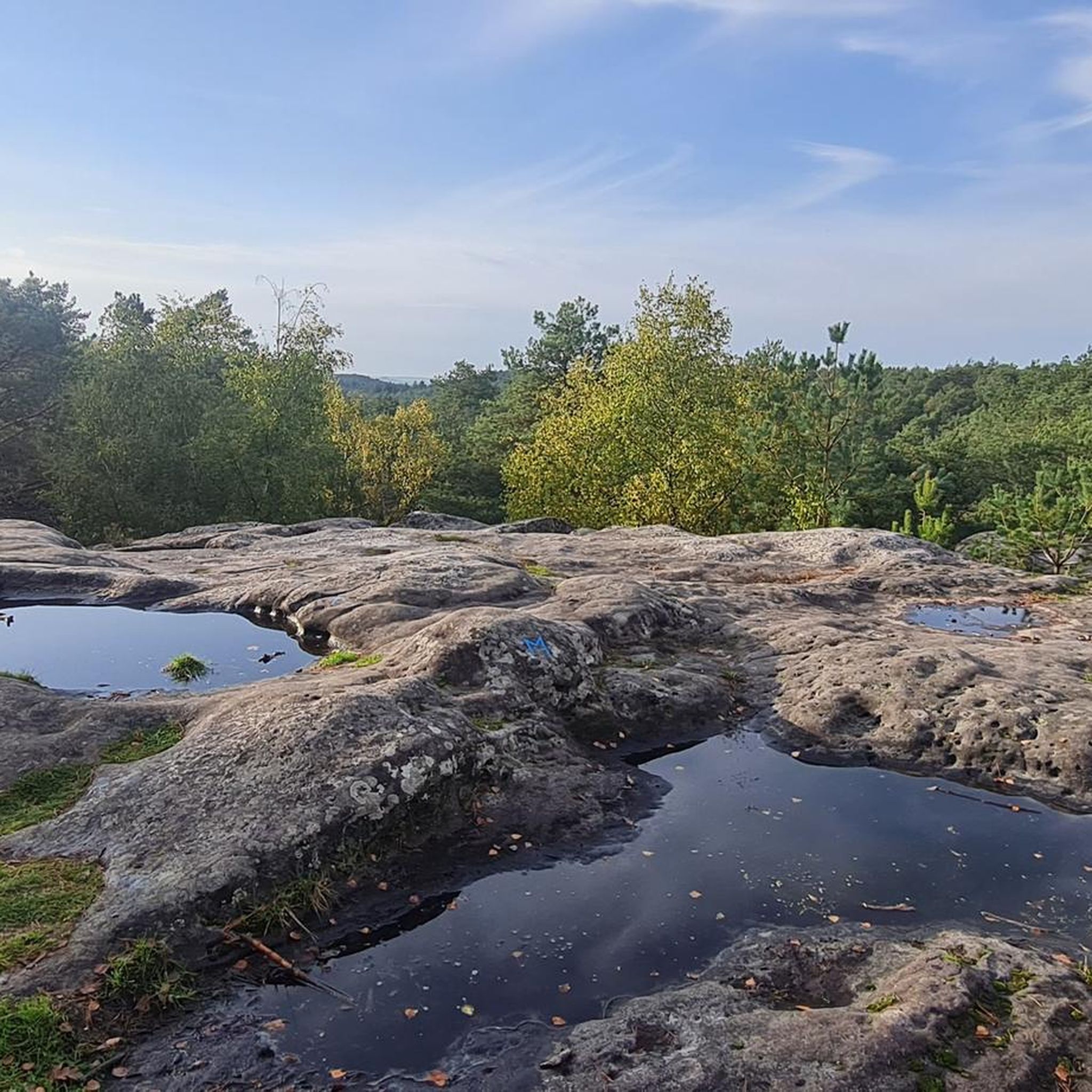
This small sector, located to the north of the classic L’Éléphant massif, is made up of generally poorly exposed blocks, the majority of which are located on the slopes of the Mont Simonet gable.
0
0

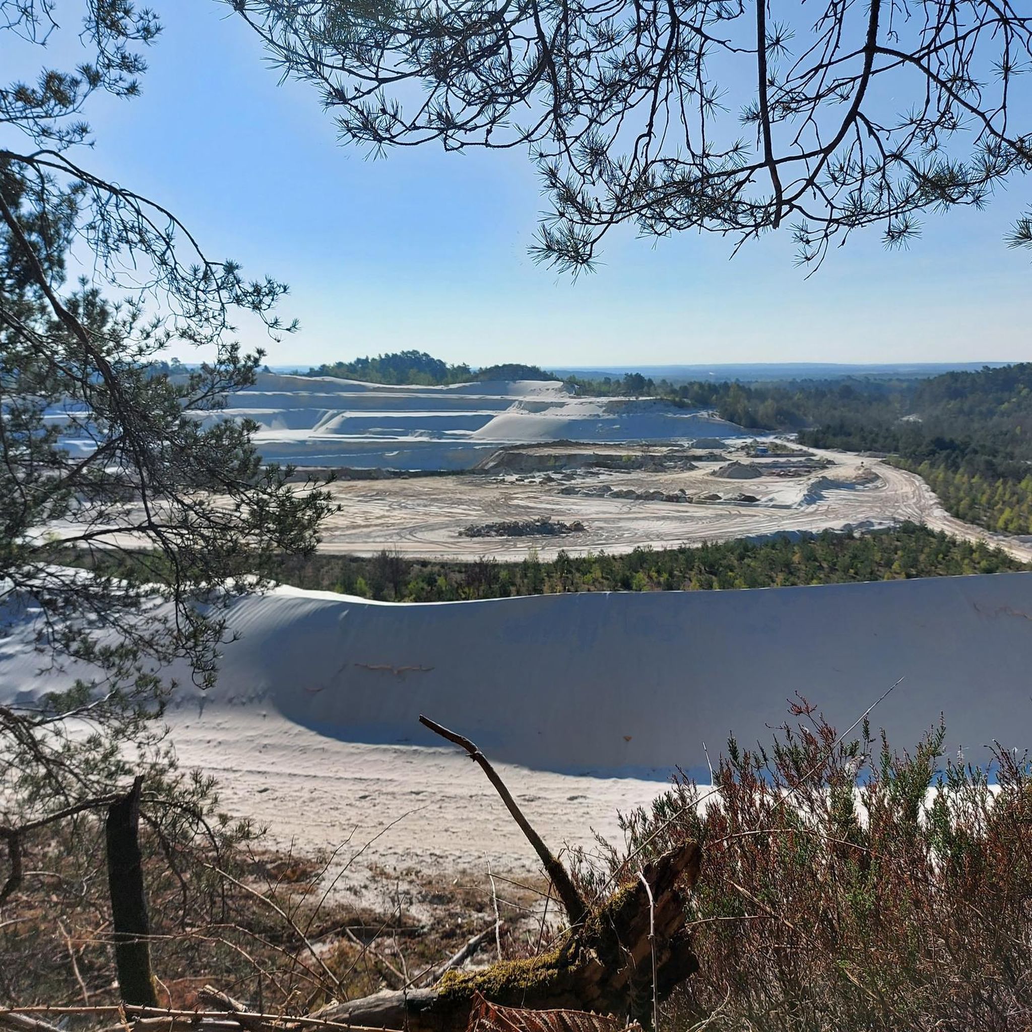
A large white sand dune in the middle of the forest.
0
0
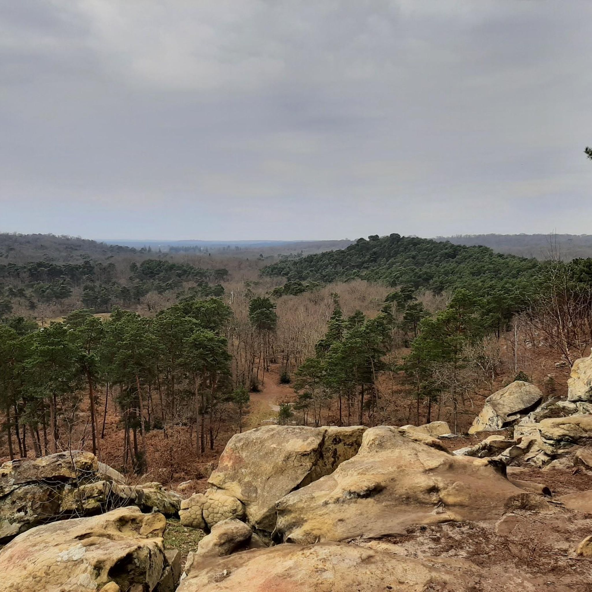
Beautiful view of the forest and the village of Larchant.
0
0
Beautiful view of the forest and the village of Larchant.
0
0
Not hard to see the elephant shape of the rock. Some nice paths and trails around.
0
0

…without forgetting the famous “dog’s ass” 🙂
1
0

The Loing canal joins the Briare canal and the Orléans canal. Its towpaths offer a remarkable walking environment over approximately 45 kilometers.
0
1
Frequently Asked Questions
What kind of terrain can I expect on the running routes around Villiers-Sous-Grez?
The running routes around Villiers-Sous-Grez offer a diverse range of terrain, reflecting its location within the vast Fontainebleau forest massif and the Gâtinais Français Regional Natural Park. You'll encounter paths through dense woodlands, open fields, and areas with rocky outcrops and sandy sections. This variety provides a dynamic running experience, from shaded forest trails to routes with slight elevation changes, such as those leading to the picturesque Rocher Saint-Étienne.
Are there any easy or beginner-friendly running routes in Villiers-Sous-Grez?
Yes, Villiers-Sous-Grez offers routes suitable for all levels, including beginners. Out of nearly 200 available routes, 18 are classified as easy. These routes provide a gentle introduction to the area's beautiful landscapes without significant elevation challenges. For example, the Nemours Along the Water loop from Fontainebleau is a moderate 5.0-mile (8.0 km) trail that is relatively flat and follows riverside landscapes, making it a good option for those looking for a less strenuous run.
Can I find circular jogging routes around Villiers-Sous-Grez?
Yes, many of the running routes in the Villiers-Sous-Grez area are circular, allowing you to start and finish at the same point. This is convenient for planning your run and returning to your starting location. Examples include the popular Loop of Nemours and Loing through the Fontainebleau forest and The Elephant – Mont Blanc loop from La Chapelle-la-Reine, both of which are designed as loops.
What natural features or landmarks can I see while jogging in this region?
The region around Villiers-Sous-Grez is rich in natural beauty and interesting landmarks. You can explore the extensive Fontainebleau forest, known for its varied landscapes including rocky outcrops and sandy paths. The picturesque Rocher Saint-Étienne offers rewarding panoramic views. Other notable natural features include the The Elephant natural monument, the Grotte du Serment, and the Béorlots Sand Dune. Some routes also follow the Loing river, offering scenic riverside views.
Are there any historical sites or castles accessible from the running trails?
While the primary focus is on natural landscapes, the broader region does feature historical sites. For instance, the famous Fontainebleau Castle is within reach, and you might encounter the Ruins of the Saint-Mathurin Basilica or the Cross of Lorraine on the Maquisards' Pignon. Some routes, like The Loing River and its canal – Château de Fromonville loop from Fontainebleau, pass by historical structures like the Château de Fromonville.
What do other runners say about the jogging routes in Villiers-Sous-Grez?
The running routes in Villiers-Sous-Grez are highly regarded by the komoot community, boasting an average rating of 4.6 stars from over 100 reviews. More than 5,000 runners have explored the area using komoot. Users frequently praise the extensive forest trails, the varied terrain including sandy paths and rocky sections, and the presence of the Loing river, which adds to the scenic beauty and diverse running experiences.
Is Villiers-Sous-Grez suitable for family-friendly running or jogging with children?
Yes, the diverse range of routes around Villiers-Sous-Grez includes options that are suitable for families. With 18 easy routes available, you can find shorter, less challenging paths through the forests and fields that are enjoyable for children. The natural environment of the Gâtinais Français Regional Natural Park provides a pleasant and safe setting for family outings.
Are dogs allowed on the running trails in Villiers-Sous-Grez?
The Fontainebleau forest and Gâtinais Français Regional Natural Park generally welcome dogs, often on a leash, allowing them to accompany you on your runs. However, it's always recommended to check specific local regulations or signage along individual trails to ensure compliance, especially in protected areas or during certain seasons.
What is the best time of year to go running in Villiers-Sous-Grez?
Villiers-Sous-Grez offers a dynamic landscape with seasonal changes of colors, making it appealing throughout the year. Spring and autumn are particularly pleasant for running, with mild temperatures and vibrant foliage. Summer provides shaded forest trails, which are ideal during warmer days. Even winter can be beautiful, with crisp air and serene, frosted landscapes, though some paths might be muddy or require appropriate footwear.
Are there options for long-distance running or challenging routes?
Absolutely. For those seeking longer distances or more challenging runs, Villiers-Sous-Grez delivers. There are 25 routes classified as difficult, including the Loop of Nemours and Loing through the Fontainebleau forest, a substantial 23.9-mile (38.4 km) trail. Another challenging option is The Elephant – Mont Blanc loop from La Chapelle-la-Reine, which covers 9.4 miles (15.1 km) with varied terrain, including sandy sections and forest trails.
Is there parking available near the running trails in Villiers-Sous-Grez?
Yes, given the popularity of the Fontainebleau forest and the Gâtinais Français Regional Natural Park for outdoor activities, there are typically parking areas available at various access points to the trails. These are often found near trailheads or popular starting points for routes. It's advisable to check specific route details on komoot for information on parking closest to your chosen starting point.
Can I reach the running trails in Villiers-Sous-Grez using public transport?
While Villiers-Sous-Grez is a smaller village, public transport options exist to reach the general area, particularly from larger towns like Fontainebleau or Nemours. From these hubs, local bus services might connect to Villiers-Sous-Grez or nearby trail access points. For specific routes, it's recommended to check local bus schedules and connections to plan your journey to the trailheads.
Most popular routes around Villiers-Sous-Grez
Most popular attractions around Villiers-Sous-Grez

Get inspired with the komoot mobile app


Explore more
Browse the best Running Trails & Routes in other regions.
