The best walks and hikes around Fromelennes
4.4
(2829)
11,824
hikers
14
hikes
Hiking around Fromelennes offers diverse landscapes within the Ardennes region, characterized by gently rolling hills, deep valleys, and winding rivers. The village is bordered by the State Forest of Givet-Fromelennes, providing extensive woodlands for exploration. Open landscapes are found on the Plaine de Fromelennes, offering views towards Givet and the Meuse valley, while the Houille River flows through the village. This varied topography provides a range of hiking experiences.
Best hiking trails around Fromelennes
- The most popular hiking route is Pas de Géant Trail – Village Center of Dion loop from Fromelennes, a 5.2 miles (8.4 km) trail that takes 2 hours 24 minutes to complete, leading through varied landscapes around the village center.
- Another top favourite among local hikers is View of Fort de Charlemont – Givet loop from Fromelennes, a moderate 9.2 miles (14.9 km) path that offers views towards Givet and its historic fort.
- Local hikers also love the Pas de Géant Trail – Entrance to the caves loop from Fromelennes, a 7.3 miles (11.7 km) trail leading through woodlands near the Nichet Cave site, often completed in about 3 hours 10 minutes.
- Hiking around Fromelennes is defined by dense woodlands, rolling hills, and river valleys. The network offers options for different ability levels, from easy strolls to more challenging routes.
- The routes in Fromelennes are highly rated by the komoot community with an average score of 4.4 stars from over 2,700 reviews. More than 11,000 hikers have used komoot to explore Fromelennes's varied terrain.
Last updated: May 14, 2026
4.0
(4)
13
hikers
8.44km
02:25
190m
190m
Moderate hike. Good fitness required. Easily-accessible paths. Suitable for all skill levels.
4.6
(5)
15
hikers
12.2km
03:33
310m
310m
Moderate hike. Good fitness required. Easily-accessible paths. Suitable for all skill levels.

Sign up for free
4.8
(4)
9
hikers
14.9km
03:57
150m
150m
Moderate hike. Good fitness required. Easily-accessible paths. Suitable for all skill levels.
4.3
(3)
8
hikers
11.7km
03:10
160m
160m
Moderate hike. Good fitness required. Easily-accessible paths. Suitable for all skill levels.
5.0
(4)
17
hikers
10.5km
02:53
150m
150m
Moderate hike. Good fitness required. Mostly accessible paths. Sure-footedness required.
Get access to more routes and recommendations from other explorers.
Sign up for free
Already have an account?
Our route recommendations are based on thousands of hikes, rides, and runs completed by other people on komoot.
Start today with a free account
Your next adventure awaits.
Login or Signup

Tips from the Community


The construction of Fort Charlemont began in 1555 by order of Emperor Charles V. It dominates Givet and the Meuse valley. The fort and its defences have been modified several times. Between around 1600 and 1675, the Spanish expanded the fort. In 1678, it was conquered by the French army of King Louis XIV. The town fell to France in 1697. Vauban was commissioned to expand the complex and improve the works. In 1874, several forts on the border were modified based on the ideas of Séré de Rivières, including this fort. The bastions were rebuilt and an underground staircase with several hundred steps was dug into the rock. The staircase connects the fort to a railway tunnel. In this way, the fort could be supplied with ammunition, soldiers and equipment, all out of sight of the enemy and invulnerable to enemy artillery fire. In 2009, the French army transferred the fort to the municipality of Givet.
1
0
Givet belongs to the region of the French Ardennes and to the Calestienne. The pointe de Givet, consisting of Givet and its surroundings, is the only part of France where Walloon is spoken. Until the end of the 17th century, the area was part of the Southern Netherlands.
1
0


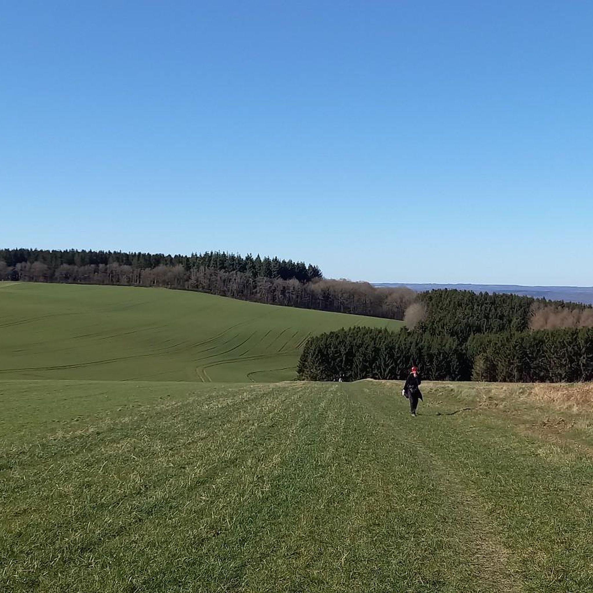
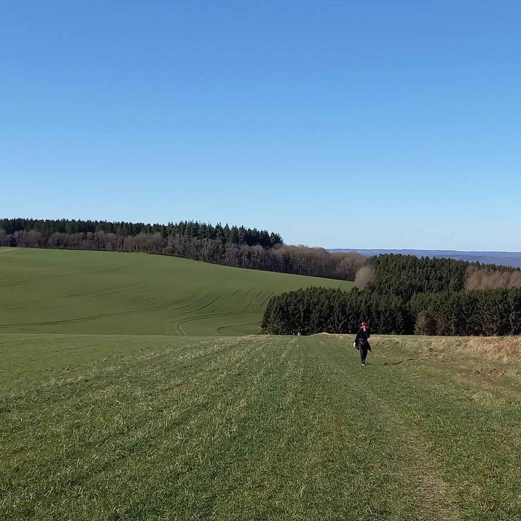
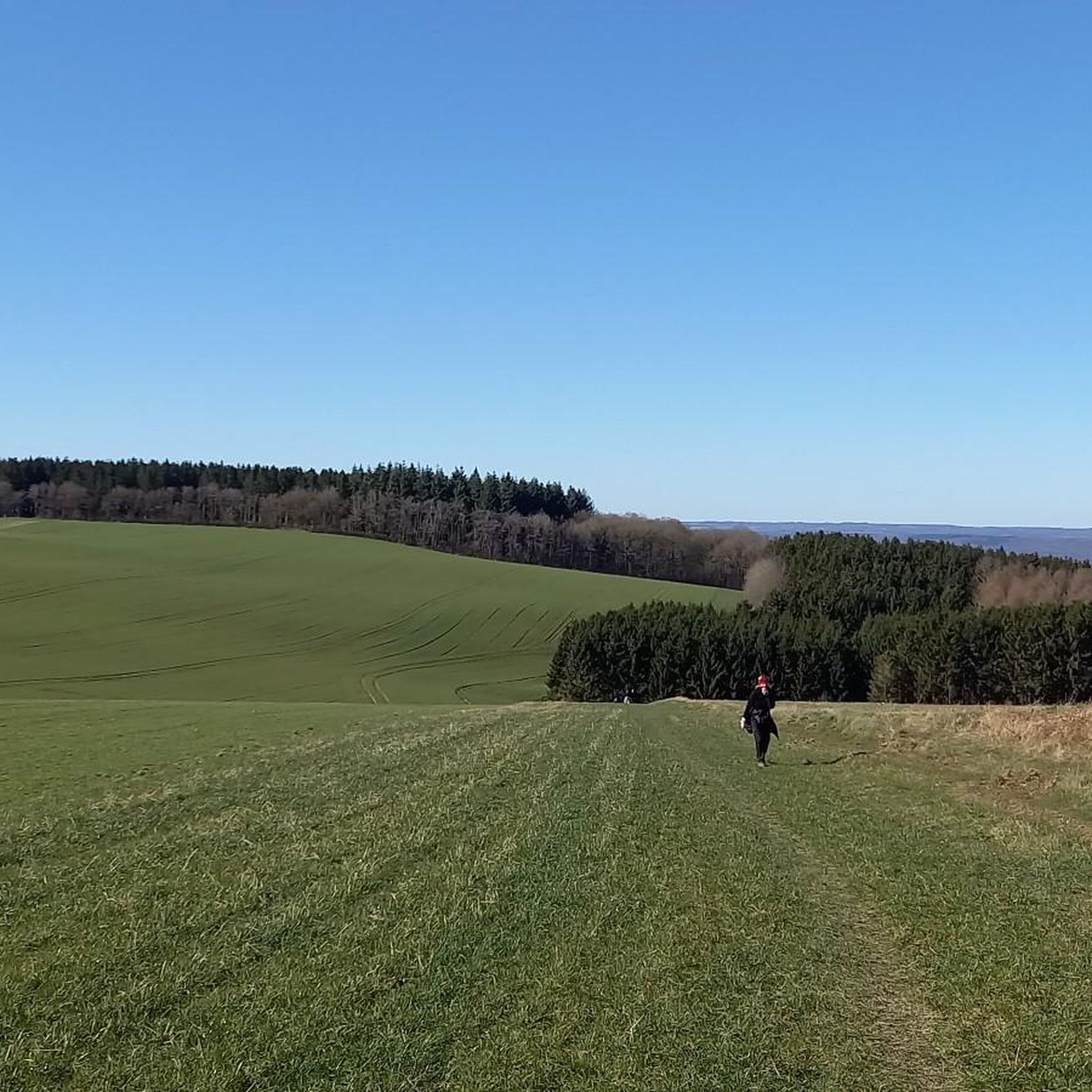
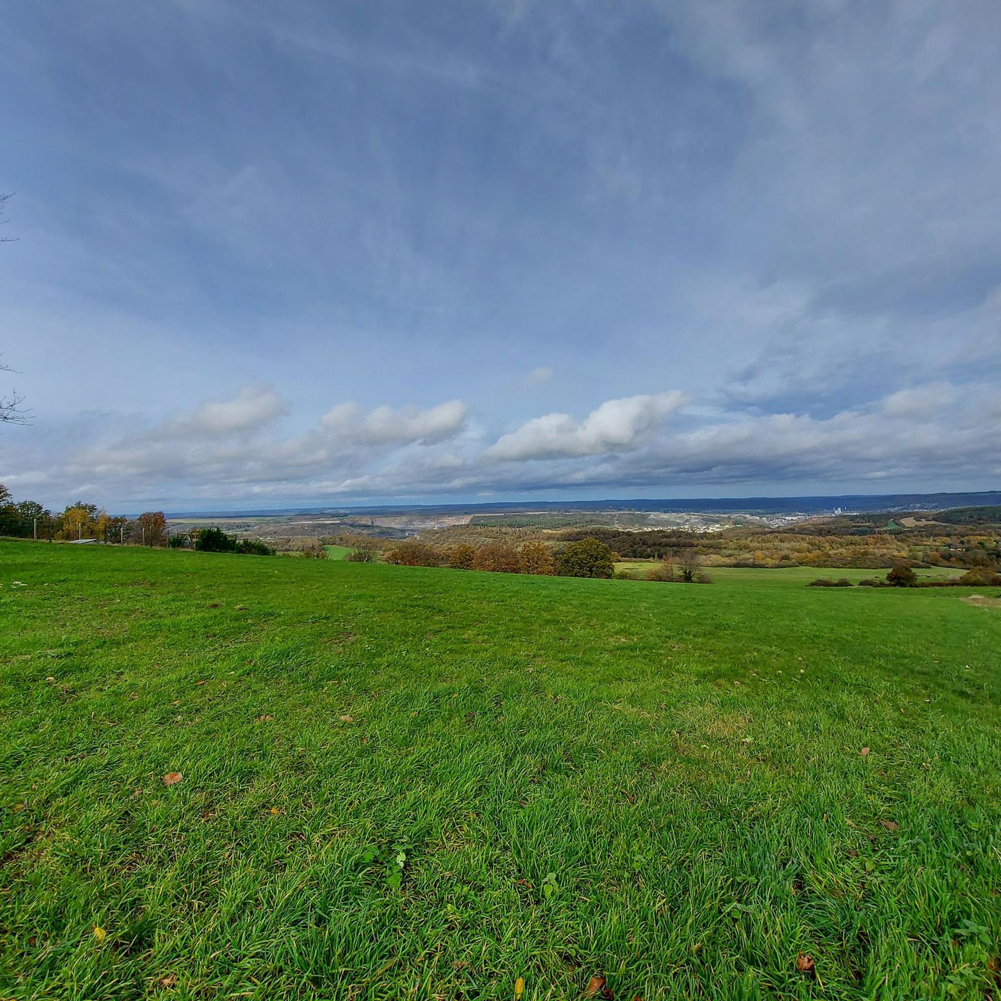
panoramic point with beautiful views over the beautiful landscape
0
0
beautiful view over the beautiful landscape
1
0
Frequently Asked Questions
How many hiking trails are available around Fromelennes?
There are over 10 hiking trails around Fromelennes, offering a variety of experiences. The komoot community has documented 13 routes in total, with 5 considered easy and 8 moderate, ensuring options for different skill levels.
What kind of landscapes can I expect when hiking near Fromelennes?
Hiking around Fromelennes offers diverse landscapes characteristic of the Ardennes. You'll find dense woodlands within the State Forest of Givet-Fromelennes, open plains with expansive views towards Givet and the Meuse valley on the Plaine de Fromelennes, and pleasant riverside strolls along the Houille River. The broader region features gently rolling hills and deep valleys.
What do other hikers say about the trails in Fromelennes?
The trails around Fromelennes are highly regarded by the komoot community, with an average rating of 4.4 stars from over 2,700 reviews. Hikers often praise the varied terrain, from dense forests to open vistas, and the well-maintained paths that cater to different abilities.
Are there any easy hikes suitable for beginners or families in Fromelennes?
Yes, there are several easy hikes. For a shorter, accessible option, consider the Pas de Géant Trail – Entrance to the caves loop from Fromelennes. This 3.2 km route is rated easy and takes just over an hour, making it ideal for a leisurely walk.
Are there any circular walks in Fromelennes?
Many of the trails around Fromelennes are circular. A popular choice is the Pas de Géant Trail – Village Center of Dion loop from Fromelennes, which is 8.4 km long and takes approximately 2 hours 24 minutes, leading through varied landscapes around the village center.
Can I find trails with viewpoints or scenic vistas?
Absolutely. The area offers several opportunities for scenic views. The View of Fort de Charlemont – Givet loop from Fromelennes, for example, provides views towards Givet and its historic fort. Additionally, the 'Towards the plateau' trail mentioned in regional research leads to the Plaine de Fromelennes, offering expansive open vistas.
Are there any trails that lead to waterfalls or natural monuments?
While Fromelennes itself doesn't have major waterfalls directly on its trails, the nearby region offers some beautiful natural features. You can explore highlights like The Cascatelles Trail or the Waterfalls and Streams of Boucle de Freyr, which are part of the 'Waterfalls around Fromelennes' guide. For natural monuments, the Freyr Rocks along the Meuse offer impressive geological formations.
What is the Nichet Cave, and are there hikes that visit it?
The Nichet Cave is a prominent attraction near Fromelennes, known as one of the Ardennes' most beautiful tourist caves with immense chambers and geological formations. The Pas de Géant Trail – Entrance to the caves loop from Fromelennes is a 11.7 km trail that leads through woodlands near the Nichet Cave site, allowing you to combine hiking with a visit to this underground wonder.
Is Fromelennes a good base for exploring other nearby attractions?
Yes, Fromelennes is strategically located for exploring the wider Ardennes region. Within a short drive, you can visit the town of Givet with its impressive Fort of Charlemont, the medieval village of Hierges, or the Furfooz Nature Reserve for more natural scenery.
Are there longer, more challenging routes for experienced hikers?
For those seeking longer routes, the View of Fort de Charlemont – Givet loop from Fromelennes is a moderate 14.9 km path that takes around 4 hours to complete. Another option is the Information Point – Mont d'Haurs loop from Fromelennes, a 10.5 km moderate trail.
What is the best time of year for hiking in Fromelennes?
The Ardennes region, including Fromelennes, is beautiful throughout the year. Spring brings lush greenery and blooming wildflowers, while autumn offers stunning foliage. Summer is ideal for longer days and warmer weather. Even winter can be picturesque, though some trails might be more challenging due to conditions.
Most popular routes around Fromelennes
Most popular attractions around Fromelennes

Get inspired with the komoot mobile app


Explore more
Browse the best Hikes in other regions.
