The best walks and hikes around Cazarilh-Laspènes
4.5
(1347)
14,699
hikers
203
hikes
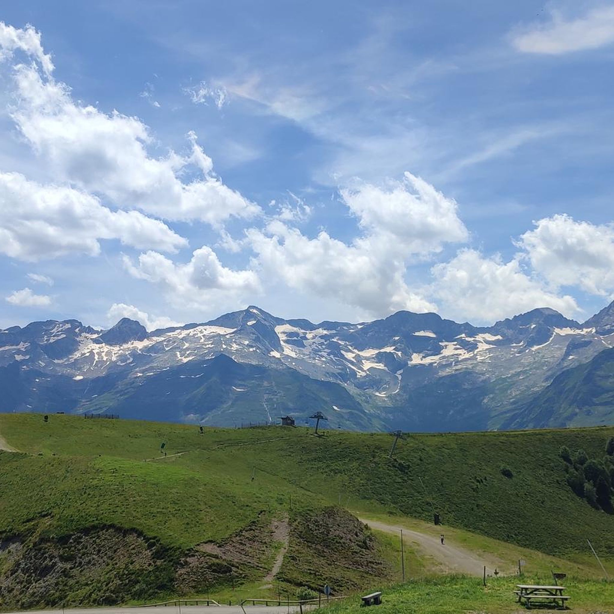
Hiking around Cazarilh-Laspènes offers diverse natural landscapes within the French Pyrenees. The region is characterized by dramatic Pyrenean scenery, featuring high mountain passes, glacial lakes, and impressive waterfalls. Trails traverse peaceful woodlands and varied valleys, providing views of the Pyrenean massif and surrounding areas. This terrain includes significant elevation changes, catering to various hiking preferences.
Best hiking trails around Cazarilh-Laspènes
- The most popular hiking route is Hike of the balconies of Sode - loop starting from Bagnères-de-Luchon, a 5.1…
Last updated: July 4, 2026
4.4
(18)
98
hikers
8.17km
02:40
350m
350m
Moderate hike. Good fitness required. Mostly accessible paths. Sure-footedness required.
3.7
(6)
30
hikers
14.0km
04:29
490m
490m
Moderate hike. Good fitness required. Mostly accessible paths. Sure-footedness required.

Sign up for free
4.8
(15)
122
hikers
10.9km
03:17
320m
320m
Moderate hike. Good fitness required. Easily-accessible paths. Suitable for all skill levels.
4.2
(23)
139
hikers
11.2km
04:00
610m
610m
Moderate hike. Good fitness required. Mostly accessible paths. Sure-footedness required.
4.3
(8)
135
hikers
5.08km
01:18
20m
20m
Easy hike. Great for any fitness level. Easily-accessible paths. Suitable for all skill levels.
Get access to more routes and recommendations from other explorers.
Sign up for free
Already have an account?
Our route recommendations are based on thousands of hikes, rides, and runs completed by other people on komoot.
Start today with a free account
Your next adventure awaits.
Login or Signup



Tips from the Community


Very beautiful footbridge, not very long but very high and impressive
0
0

A very pretty, very pleasant town, with all kinds of shops and restaurants, ideal for organizing a stage of several days to discover this part of the French Pyrenees.
0
0

And it was already a stage destination on the tour
0
0

This pretty waterfall is located on the heights of Juzet-de-Luchon. Its long, so-called ponytail waterfall is worth taking the small path that leads to it.
0
0

Cute to discover when visiting Luchon!
0
0

Inaugurated in 2017, the footbridge was built to replace the one destroyed by the 2013 floods. 35 meters long, it spans the course of the Pique at the gates of Luchon.
1
0

Nice place to watch the planes take off and land
0
0
Frequently Asked Questions
How many hiking trails are there in Cazarilh-Laspènes?
You'll find a wide variety of options, with over 190 hiking routes available around Cazarilh-Laspènes. These range from easy strolls to challenging mountain expeditions, catering to different skill levels.
What kind of terrain can I expect on hikes around Cazarilh-Laspènes?
The region offers diverse and dramatic natural landscapes. Expect spectacular Pyrenean scenery with high mountain passes, impressive glacial lakes, and prominent waterfalls. Trails traverse peaceful forests and varied terrain, often featuring significant changes in altitude and offering panoramic views of the Pyrenean massif and picturesque valleys.
Are there any easy hiking trails suitable for families or beginners?
Yes, Cazarilh-Laspènes has 45 easy routes. A good option for a shorter outing is the Lac de Badech – Bagnères-de-Luchon loop from Bagnères-de-Luchon, which is about 5 km long and has minimal elevation gain, making it suitable for a relaxed walk.
What are some notable natural features or landmarks I can see while hiking?
Hikers can discover beautiful alpine lakes like Lac d'Oô, which is often a highlight of more challenging routes. The landscape also boasts impressive waterfalls and deep valleys. Some routes offer the unique opportunity to discover ancient cromlechs (megalithic stone circles) with views of the Pyrenean peaks.
Are there any circular hiking routes in the area?
Yes, many routes in Cazarilh-Laspènes are circular. For example, the Crémaillère Railway Path Loop is a moderate 14 km circular trail that follows an old railway line. Another option is the Hike of the balconies of Sode - loop starting from Bagnères-de-Luchon, which offers great views.
What do other hikers enjoy most about hiking in Cazarilh-Laspènes?
The area is highly rated by the komoot community, with an average score of 4.4 stars from over 1200 reviews. Hikers frequently praise the stunning panoramic views of the Pyrenean massif, the diverse natural landscapes, and the well-maintained trails that cater to various skill levels.
Are there any hikes that follow historical paths or offer unique perspectives?
Yes, the Crémaillère Railway Path Loop is a moderate 14 km trail that follows an old railway line, providing a unique perspective on the landscape and its history.
Can I find hikes with significant elevation changes for a challenge?
Absolutely. The region is known for its significant changes in altitude. Routes like the circular route of Cap de Salières, though not listed in the guide data, are described as challenging with an ascent of 870 meters, offering extensive views along ridges and balconies.
Are there any trails that lead to mountain passes or offer high-altitude views?
Many trails in the region provide access to mountain passes and high-altitude views. The Peyresourde Pass and Port de Balès are notable mountain passes in the vicinity, offering spectacular vistas of the Pyrenean massif.
What is the best time of year to go hiking in Cazarilh-Laspènes?
The region is beautiful throughout the warmer months, with autumn being particularly stunning for views of the peaks and 3,000-meter summits of the Luchonnais area. While the guide focuses on general hiking, the diverse terrain means different seasons offer unique experiences, from lush summer landscapes to vibrant fall colors.
Are there any hikes that pass through picturesque villages?
Yes, some medium-altitude hikes in the area, such as the Nature and Heritage Route from Bagnères-de-Luchon, offer numerous views of the surrounding valleys and pass through beautifully restored villages with significant religious architectural heritage.
Most popular routes around Cazarilh-Laspènes
Most popular attractions around Cazarilh-Laspènes

Get inspired with the komoot mobile app


Explore more
Browse the best Hikes in other regions.
