The best walks and hikes around Montagna-Le-Templier
4.3
(367)
1,741
hikers
133
hikes
Hiking around Montagna-Le-Templier offers diverse landscapes within the Jura department of Burgundy-Franche-Comté. The region features the rolling terrain of the Revermont, transitioning from plains to mountainous areas, including prominent points like Mont Myon. Hikers can explore scenic ridges overlooking the Suran Valley, picturesque valleys, and forested paths. The area is also characterized by river gorges, such as those of the Ain and Valouse rivers.
Best hiking trails around Montagna-Le-Templier
- The most popular hiking route is Mont Myon – Refuge du…
Last updated: June 27, 2026
4.0
(2)
20
hikers
16.7km
05:32
750m
750m
Hard hike. Very good fitness required. Easily-accessible paths. Suitable for all skill levels.
4.0
(3)
7
hikers
8.03km
02:15
150m
150m
Moderate hike. Good fitness required. Easily-accessible paths. Suitable for all skill levels.

Sign up for free
4.5
(2)
8
hikers
Moderate hike. Good fitness required. Easily-accessible paths. Suitable for all skill levels.
4.3
(3)
6
hikers
12.0km
03:29
300m
300m
Moderate hike. Good fitness required. Easily-accessible paths. Suitable for all skill levels.
3.0
(1)
4
hikers
2.98km
00:46
20m
20m
Easy hike. Great for any fitness level. Easily-accessible paths. Suitable for all skill levels.
Get access to more routes and recommendations from other explorers.
Sign up for free
Already have an account?
Our route recommendations are based on thousands of hikes, rides, and runs completed by other people on komoot.
Start today with a free account
Your next adventure awaits.
Login or Signup
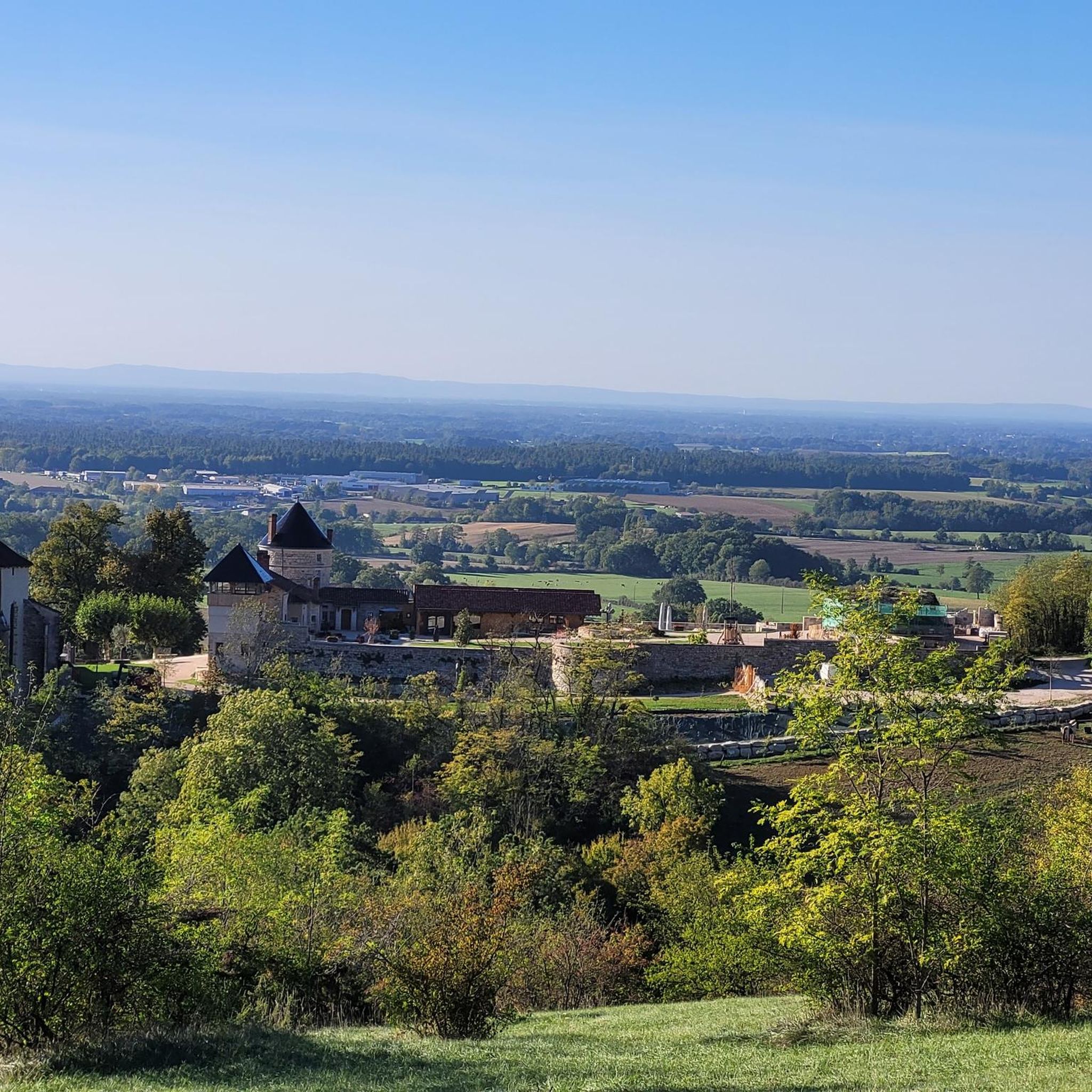
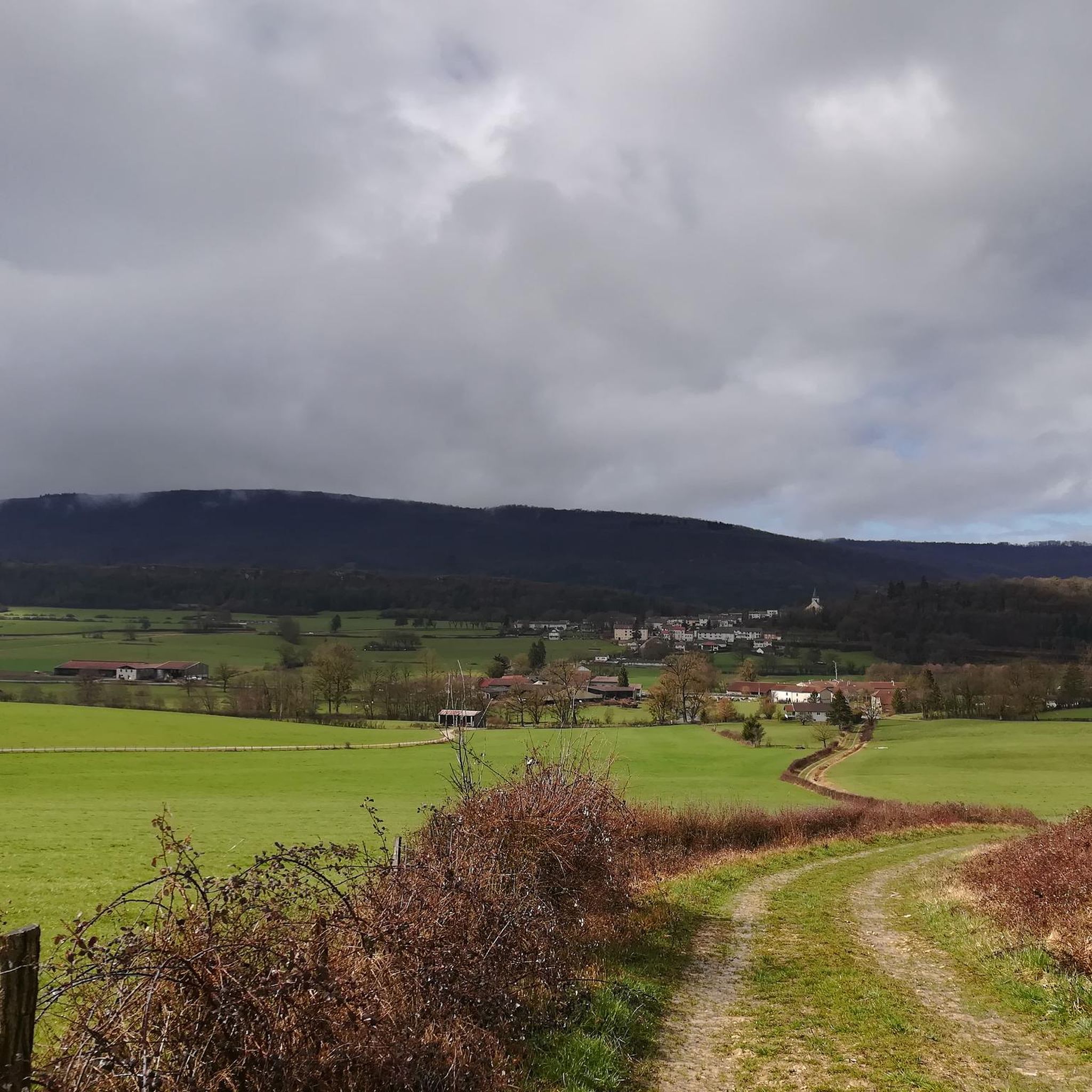
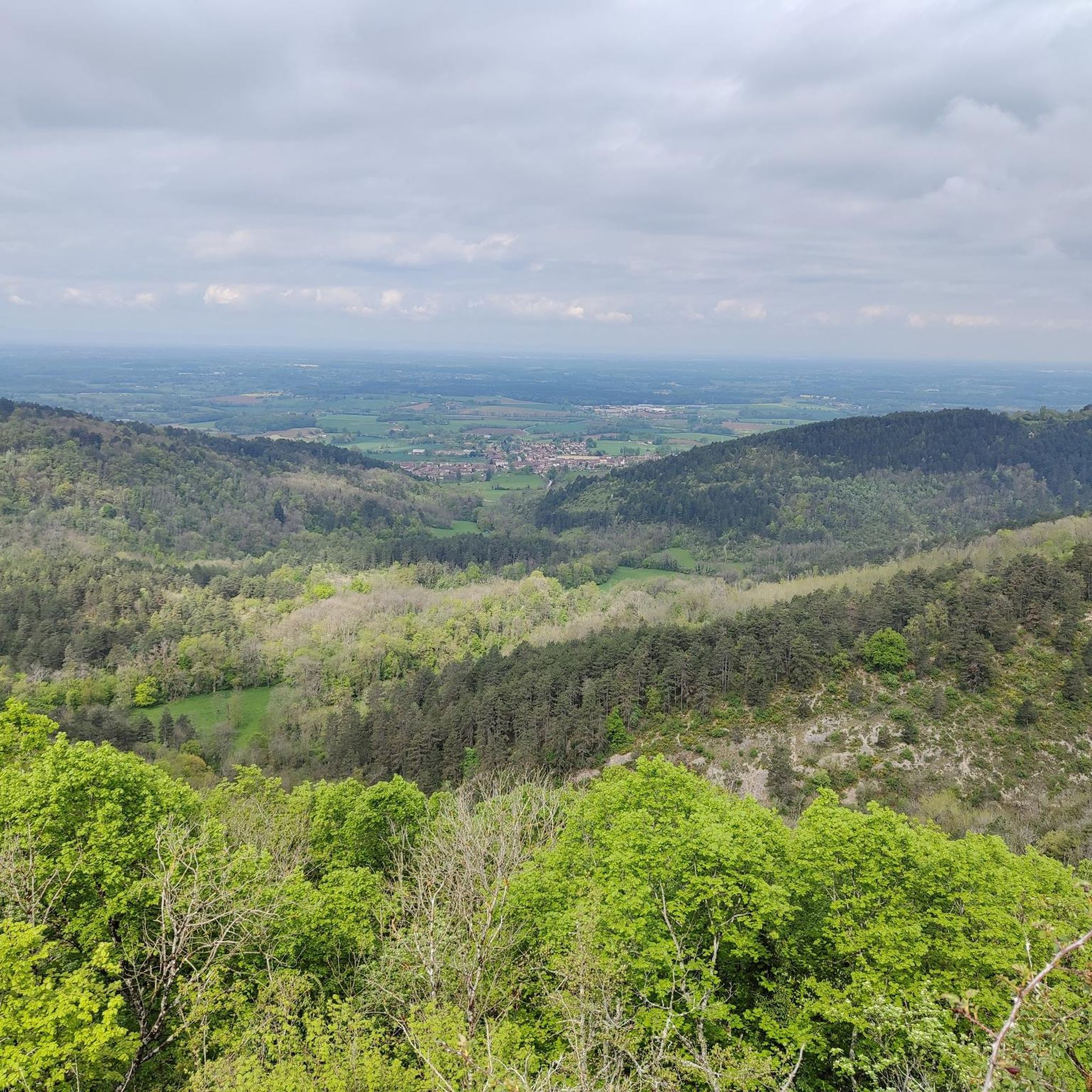
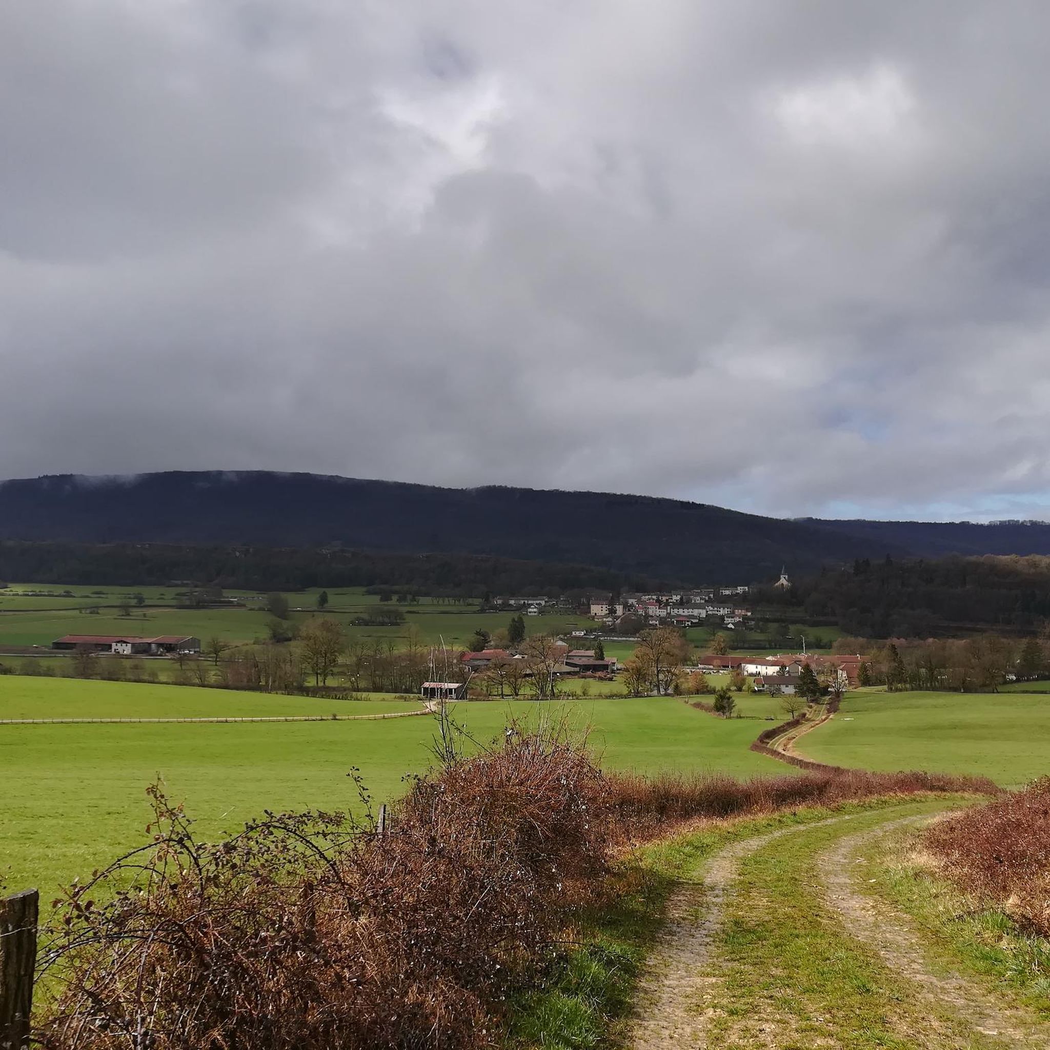
Tips from the Community

Very steep way down ⚠️ Shoes with good grip is a must! Ropes are available to help you on your descent.
0
0

Montfleur is charming like its name which means Mont-Fleuri.
1
0

Frequently Asked Questions
What kind of hiking experience can I expect in Montagna-Le-Templier?
Montagna-Le-Templier, located in the Jura department, offers a diverse hiking experience. You'll find rolling landscapes of the Revermont, transitioning from plains to mountainous areas, including prominent points like Mont Myon. Trails often lead through scenic ridges overlooking the Suran Valley, picturesque river gorges such as the Ain and Valouse, and dense forested paths. The region provides a wide array of circuits, from easy walks to more challenging routes.
How many hiking trails are there in Montagna-Le-Templier?
There are over 120 hiking trails available around Montagna-Le-Templier. These routes cater to various skill levels, including easy, moderate, and difficult options, ensuring there's something for every hiker.
Are there any easy hiking trails suitable for beginners or families?
Yes, Montagna-Le-Templier offers a good selection of easy trails. There are over 40 easy routes, perfect for beginners or families looking for a relaxed walk. An example is the Campsite loop from Val-Suran, which is a short and gentle path.
What do other hikers enjoy most about the trails in Montagna-Le-Templier?
The hiking trails in Montagna-Le-Templier are highly rated by the komoot community, with an average score of 4.3 stars from over 330 reviews. Hikers often praise the varied terrain, from valley views to mountain peaks, and the well-marked paths that allow for immersive nature experiences.
Are there any circular hiking routes in the area?
Yes, many of the trails around Montagna-Le-Templier are designed as circular routes, allowing you to start and end at the same point. For example, the Wells – Cliffside View of the Valley loop from Val-Suran offers stunning cliffside views, while the Church of Ceyzériat – Wells loop from Val-Suran provides a moderate excursion through the landscape.
Can I find any waterfalls or interesting natural features on the trails?
Absolutely! The region is known for its natural beauty. You can discover the Quinquenouille Waterfall and the Valouse Waterfall. Additionally, geological curiosities like the 'pertes de l'Ain' (losses of the Ain river) are part of the natural allure, and you might encounter caves such as Ox Cave or Bear Cave.
Are there any challenging hikes for experienced hikers?
Yes, for experienced hikers, there are over 15 difficult routes available. A notable challenging trail is the Mont Myon – Refuge du Mont Myon loop from Montfleur, which ascends to Mont Myon, the highest peak in the Revermont, offering expansive panoramic views.
What are some notable landmarks or viewpoints along the trails?
Hikers can enjoy expansive views from prominent points like Mont Myon and the Signal de Nivigne. Many trails offer scenic 'crêtes' (ridges) overlooking the Suran Valley. You might also encounter historical sites like the Oliferne Castle Ruins or the beautiful Church of Saint-Hymetière.
Is Montagna-Le-Templier suitable for winter hiking?
While the immediate area around Montagna-Le-Templier is primarily known for its diverse hiking in warmer months, the broader Jura Mountains region, where it's located, offers winter activities. In winter, the Jura Massif provides opportunities for snowshoeing and even dog-sledding, suggesting that some trails might be accessible for winter hiking depending on snow conditions.
Are there any amenities or places to stop for refreshments along the routes?
Some trails in the region are well-documented and may include amenities like picnic tables. The Moulin Burignat, mentioned as a starting point for some hikes, also offers accommodation and dining options, providing a convenient stop for hikers.
What is the best time of year to go hiking in Montagna-Le-Templier?
Montagna-Le-Templier is an excellent destination for outdoor activities throughout much of the year. Spring and autumn offer pleasant temperatures and vibrant scenery, while summer provides warm weather for exploring the diverse landscapes. The region's diverse terrain makes it enjoyable across multiple seasons.
Most popular routes around Montagna-Le-Templier
Most popular attractions around Montagna-Le-Templier

Get inspired with the komoot mobile app


Explore more
Browse the best Hikes in other regions.
