The best running trails around Villeneuve-Lès-Charnod
4.3
(12)
614
runners
83
runs
Jogging around Villeneuve-Lès-Charnod offers varied terrain across a limestone plateau in the Jura department of eastern France. The region features an elevation range from 419 to 641 meters, providing both gentle slopes and undulating paths for runners. Extensive forests and picturesque valleys characterize the landscape, offering shaded routes and tranquil environments. This area, part of the broader Jura Mountains, is known for its mid-mountain landscapes and a network of trails suitable for different jogging intensities.
Best jogging routes around Villeneuve-Lès-Charnod
…Last updated: June 27, 2026
3.99km
00:29
80m
80m
Jog the easy 2.5-mile Caborne du Bœuf Loop, passing the Valouse Waterfall and the impressive Ox Cave entrance in just 28 minutes.
5.0
(1)
12
runners
16.9km
02:24
740m
740m
Hard run. Very good fitness required. Mostly paved surfaces. Suitable for all skill levels.

Sign up for free
10
runners
12.5km
01:30
220m
220m
Moderate run. Good fitness required. Mostly paved surfaces. Suitable for all skill levels.
7
runners
13.8km
01:33
320m
320m
Hard run. Very good fitness required. Mostly paved surfaces. Suitable for all skill levels.
5
runners
10.3km
01:11
140m
140m
Moderate run. Good fitness required. Mostly paved surfaces. Suitable for all skill levels.
Get access to more routes and recommendations from other explorers.
Sign up for free
Already have an account?
Our route recommendations are based on thousands of hikes, rides, and runs completed by other people on komoot.
Start today with a free account
Your next adventure awaits.
Login or Signup
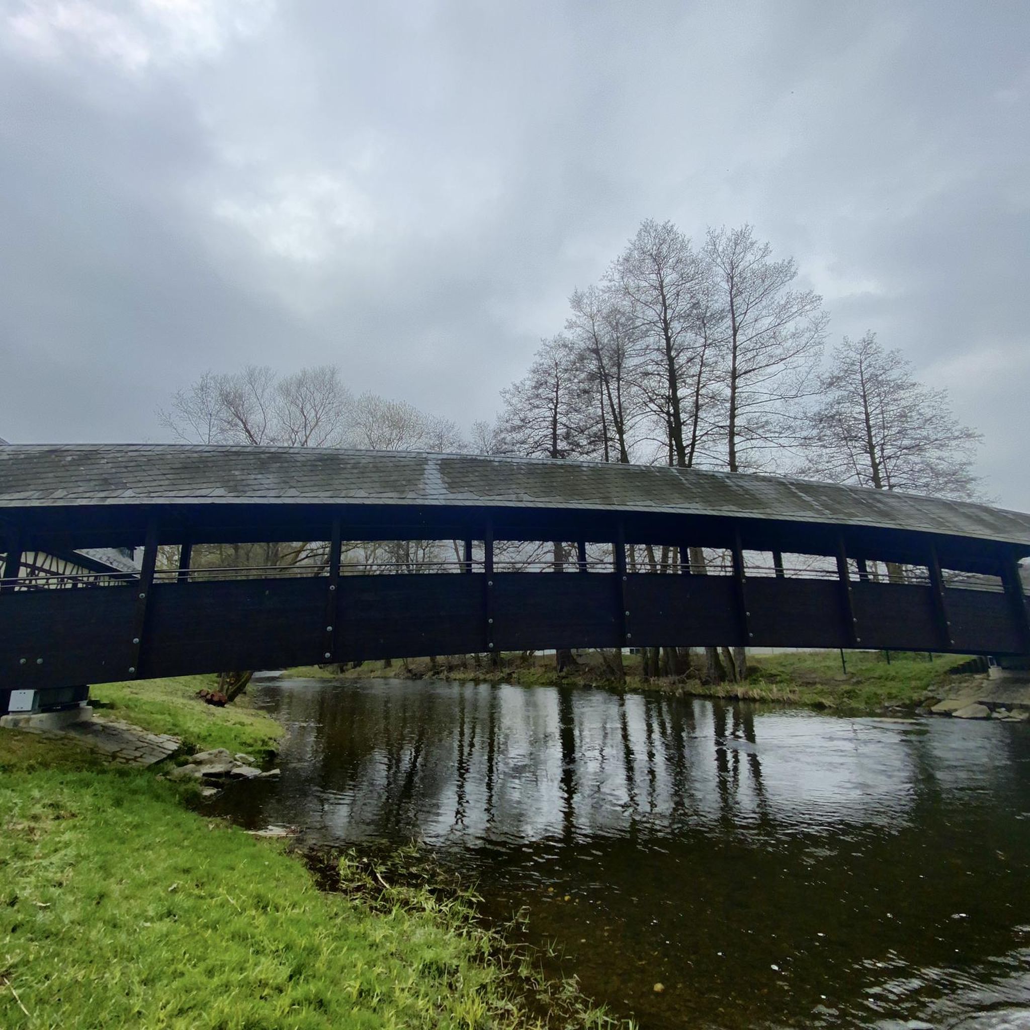
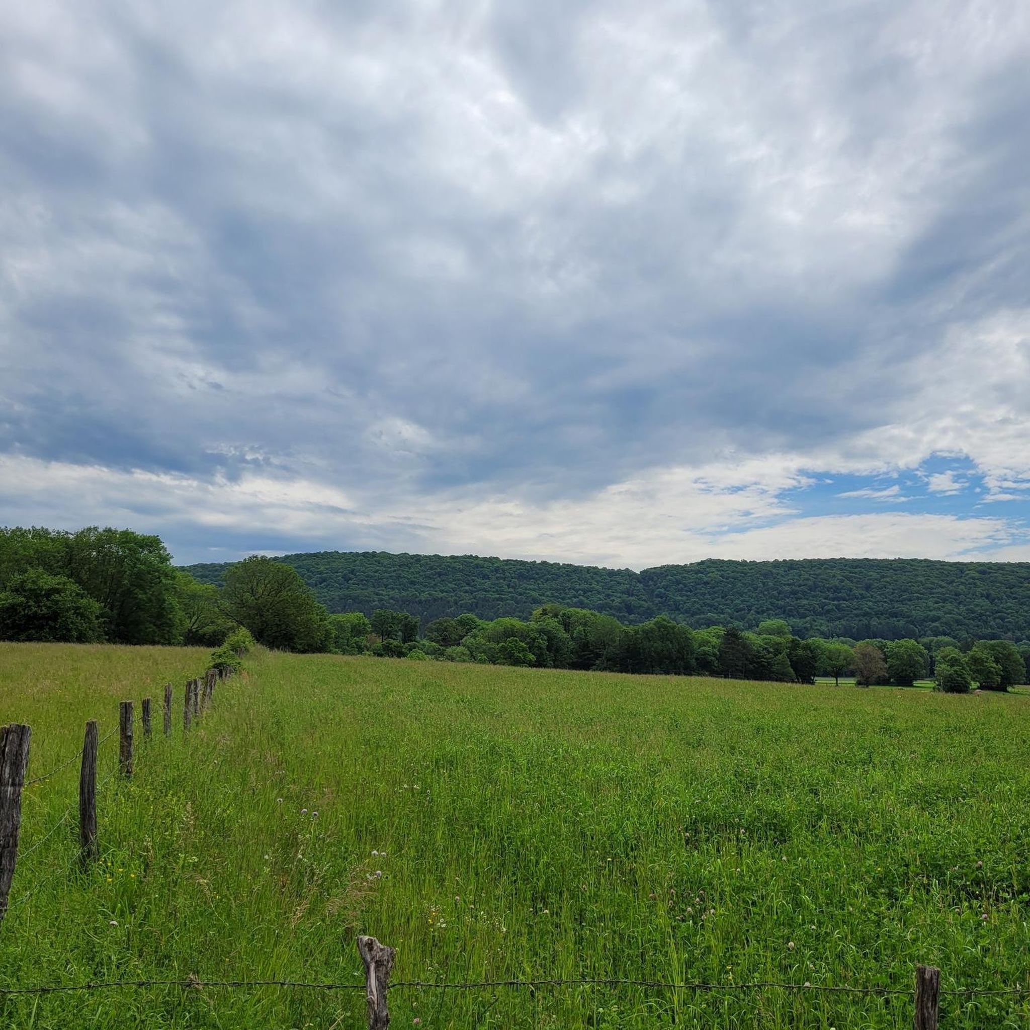
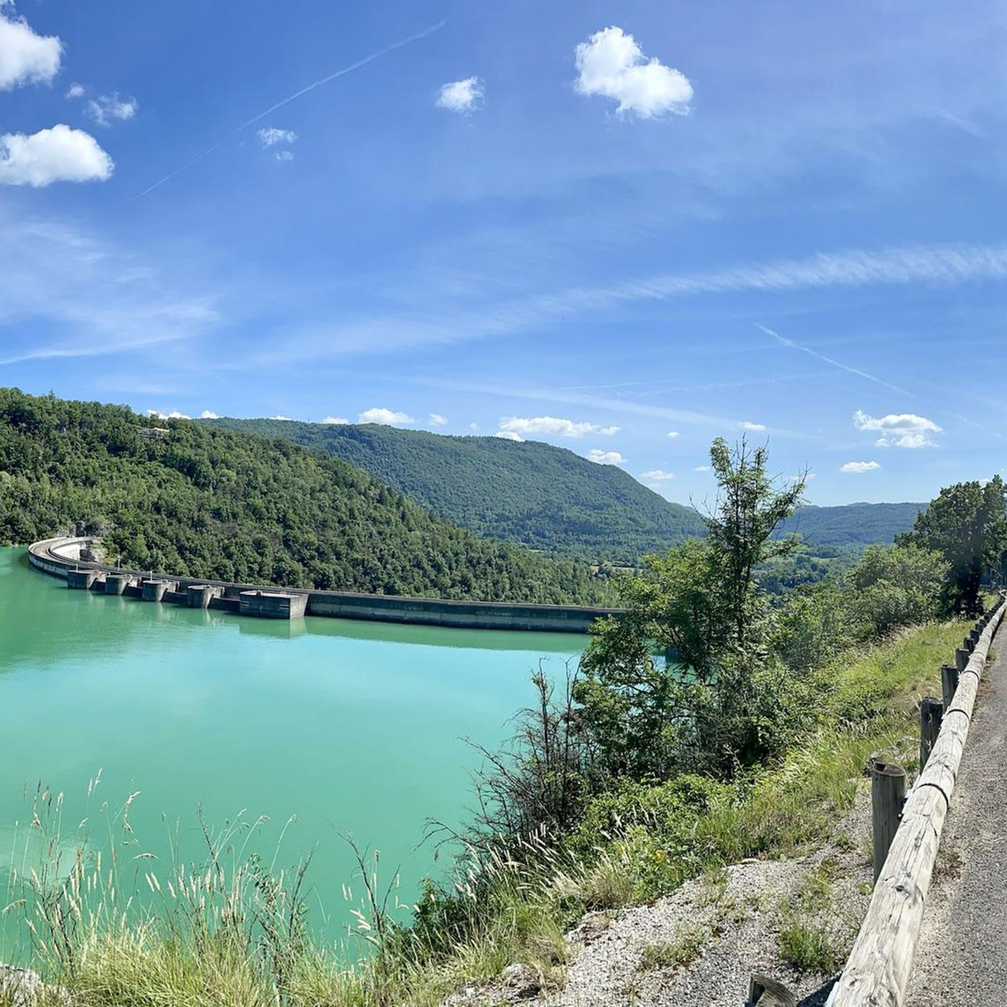
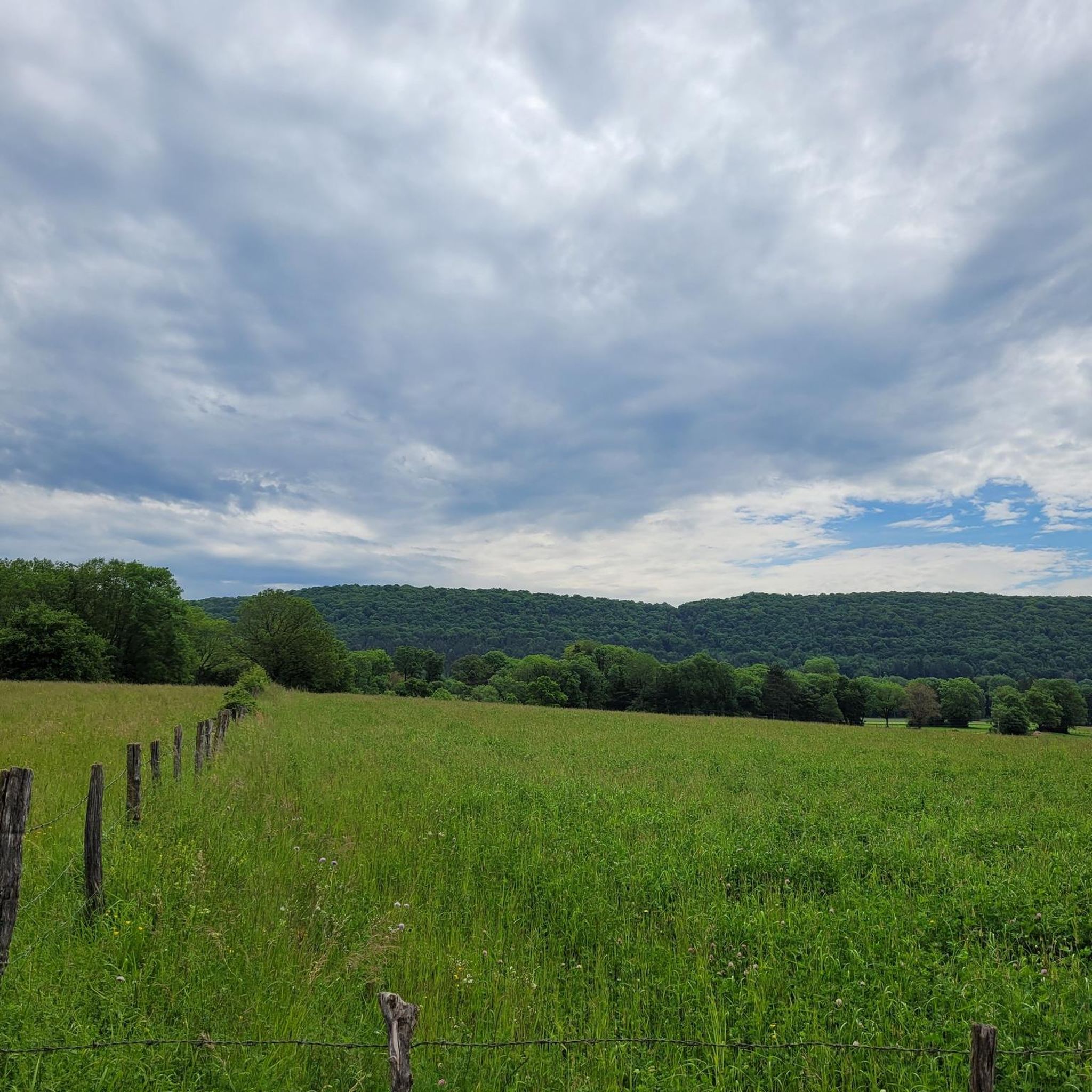
Tips from the Community

A beautiful waterfall with a view of the Valouse gorges.
2
0
The entrance to this cave is perhaps one of the grandest. Its 20 meter high overhang is reminiscent of a grand palace.
2
0
A beautiful waterfall with a view of the Valouse gorges.
2
0

Montfleur is charming like its name which means Mont-Fleuri.
1
0

a magnificent point of view and a beautiful place to respect!
0
0

When crossing the pass, the forest gives way to a meadow where there are a few white horses.
0
0
Frequently Asked Questions
How many running routes are available around Villeneuve-lès-Charnod?
There are over 80 dedicated running routes around Villeneuve-lès-Charnod, offering a wide range of options for different fitness levels and preferences. These include 4 easy routes, 49 moderate routes, and 27 difficult routes.
What kind of terrain can I expect on the jogging trails in this region?
The jogging trails around Villeneuve-lès-Charnod are characterized by a diverse landscape. You'll find varied terrain across a limestone plateau, with elevations ranging from 419 to 641 meters. This provides both gentle slopes and more undulating paths. The region also features extensive forests and picturesque valleys, offering shaded routes and tranquil environments for your run.
Are there any easy running routes suitable for beginners or a relaxed jog?
Yes, there are 4 easy running routes perfect for beginners or those looking for a relaxed jog. A popular choice is the Caborne du Bœuf Loop, which is an easy 2.5-mile (4.0 km) trail that takes about 30 minutes to complete.
Can I find circular running routes in Villeneuve-lès-Charnod?
Many of the running routes in the area are circular, allowing you to start and finish at the same point. For instance, the popular Caborne du Bœuf Loop is a great example of a circular route, offering a pleasant run through the local landscape.
Are there any scenic viewpoints or historical landmarks along the running trails?
Absolutely! The region offers breathtaking panoramic views, especially from elevated points across lakes and tree-covered mountains. You can also incorporate historical landmarks into your runs. For a more challenging run, consider heading towards the Oliferne Castle Ruins on the Pic d'Oliferne, which offers expansive views. The charming 11th-century Church of Saint-Hymetière also makes for a picturesque landmark along some routes.
What do other runners enjoy most about jogging in Villeneuve-lès-Charnod?
The running routes in Villeneuve-lès-Charnod are highly rated by the komoot community, with an average score of 4.1 stars from 6 reviews. Runners often praise the varied terrain, the tranquility of the extensive forests and picturesque valleys, and the stunning natural scenery that makes each run a rewarding experience.
Are there any running routes that pass by waterfalls or other natural monuments?
Yes, the area around Villeneuve-lès-Charnod is rich in natural beauty. You can find routes that lead to or near natural monuments like the Quinquenouille Waterfall or the Valouse Waterfall. These offer refreshing sights and can be a beautiful addition to your run.
Are there any challenging running routes for experienced runners?
Yes, for experienced runners seeking a challenge, there are 27 difficult routes. A notable option is the Refuge du Mont Myon – Mont Myon loop from Montfleur, a 10.5-mile (17.0 km) trail with significant elevation gain, often completed in about 2 hours 25 minutes.
Is it possible to find parking near the trailheads?
While specific parking details for every trailhead are not listed, the region is integrated into various hiking and cycling routes, suggesting accessible starting points. For example, a loop from Moulin Burignat towards Villeneuve-lès-Charnod indicates accessible paths, and many routes in the Jura Mountains typically have designated parking areas at common starting points.
What is the best time of year for running in Villeneuve-lès-Charnod?
The diverse landscapes and mid-mountain climate of the Jura Mountains make Villeneuve-lès-Charnod suitable for running across multiple seasons. Spring and autumn offer pleasant temperatures and vibrant scenery, while summer provides shaded routes through forests. Even winter can be appealing for those prepared for cooler conditions, with the possibility of picturesque snowy landscapes.
Are there any running routes that are particularly good for families?
While specific 'family-friendly' designations aren't provided for every route, the 4 easy routes, such as the Caborne du Bœuf Loop, are generally suitable for families looking for a less strenuous outing. These routes offer gentler slopes and shorter distances, making them enjoyable for all ages.
Can I bring my dog on the running trails?
The Jura Mountains region, known for its extensive network of trails and natural environment, is generally welcoming to dogs. However, it's always recommended to keep your dog on a leash, especially in areas with wildlife or near agricultural land, and to check for any specific local regulations or protected areas that might have restrictions.
Most popular routes around Villeneuve-Lès-Charnod
Most popular attractions around Villeneuve-Lès-Charnod

Get inspired with the komoot mobile app


Explore more
Browse the best Running Trails & Routes in other regions.
