The best cycling routes around Forest Kohlhaukuppe
4.7
(566)
3,121
riders
186
rides
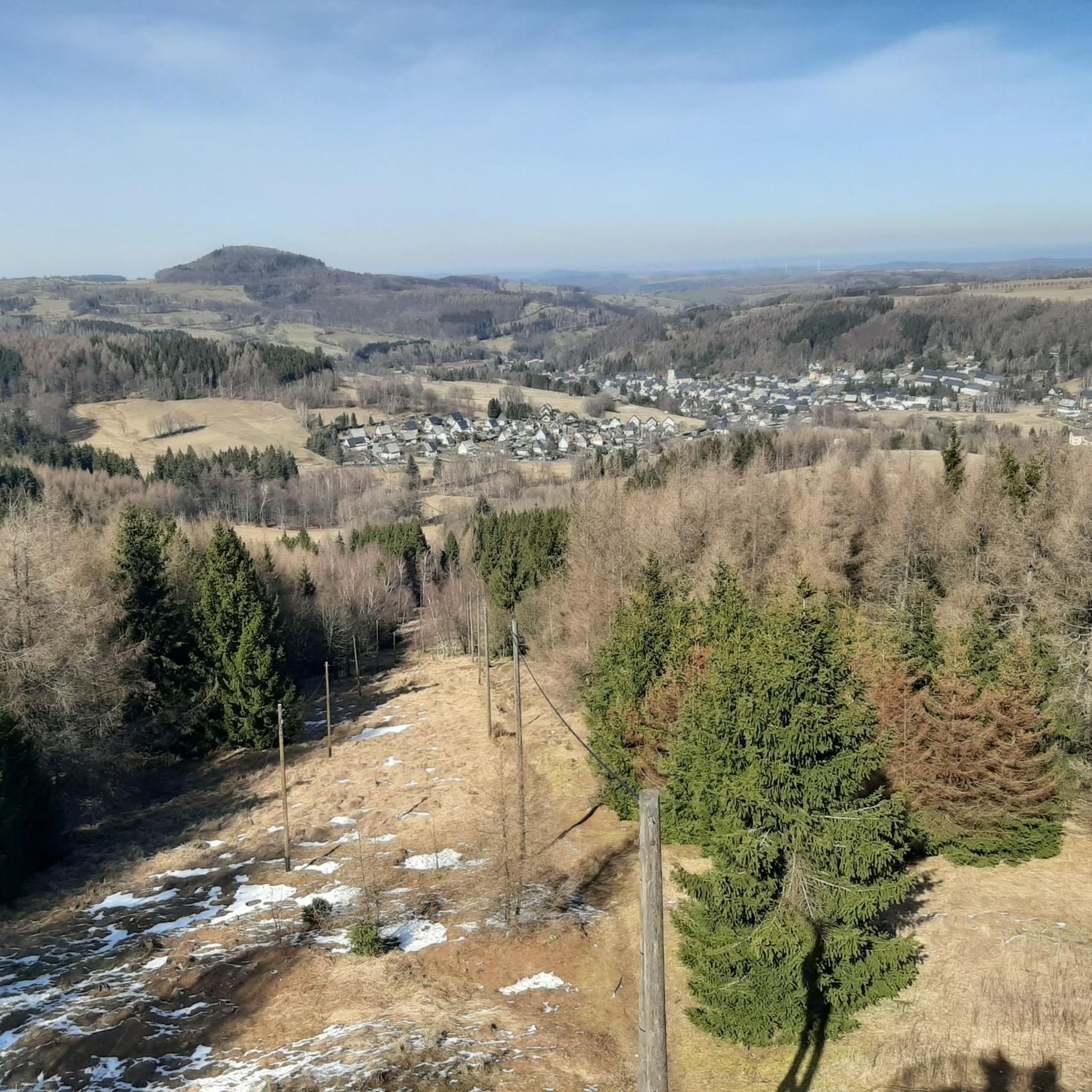
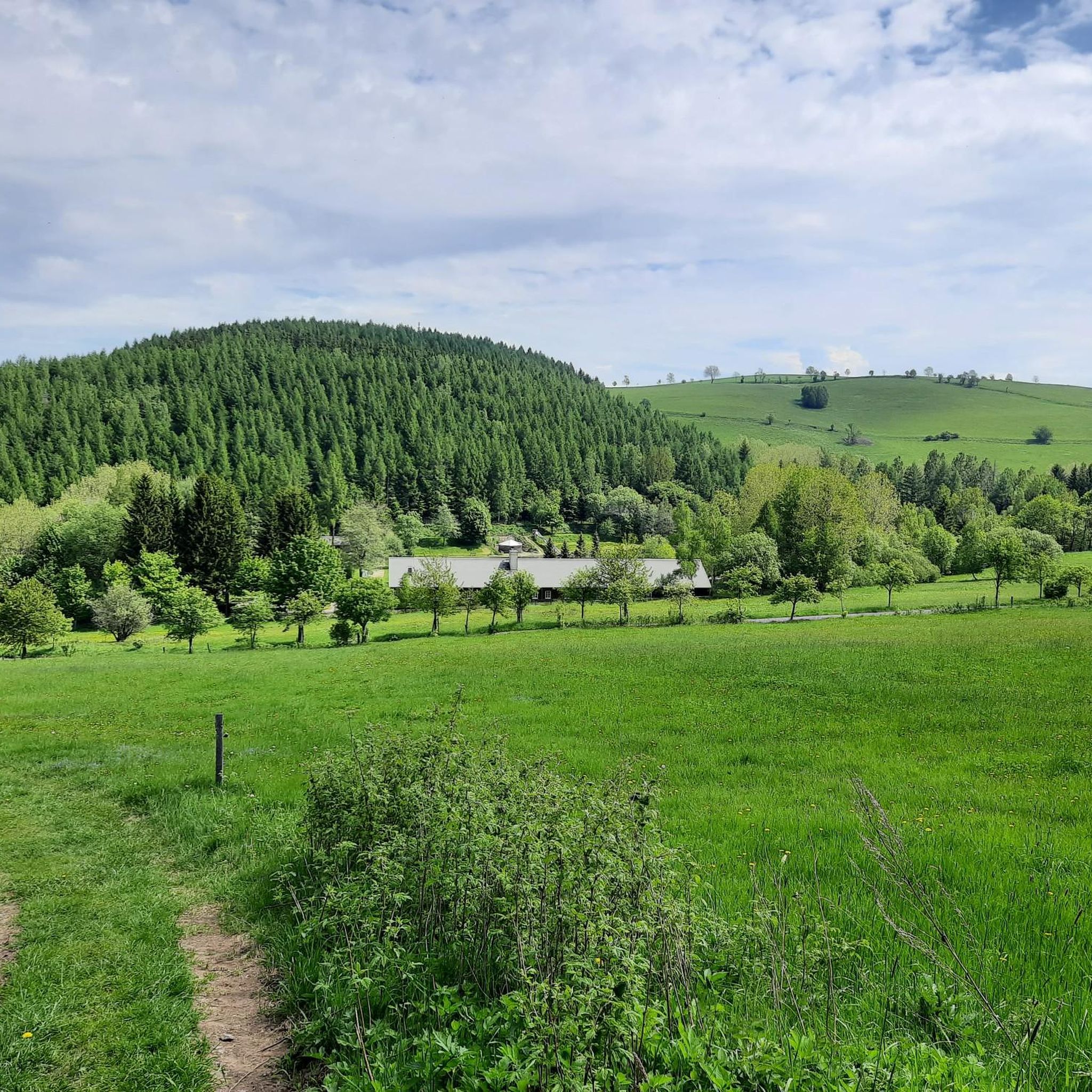
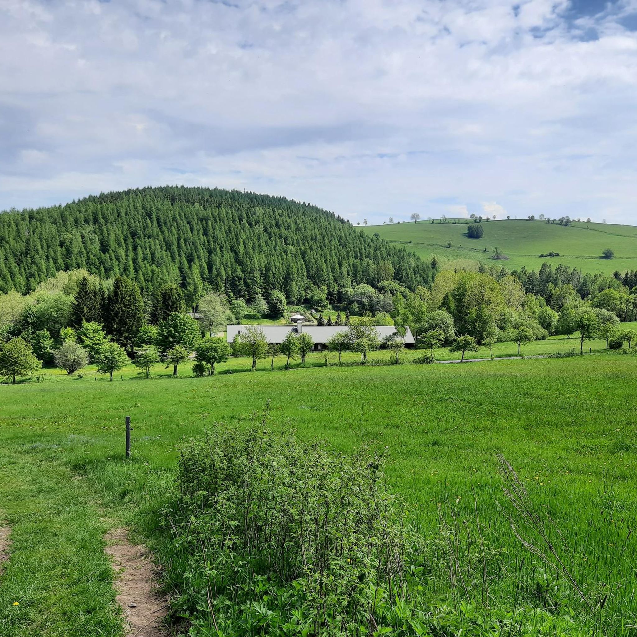
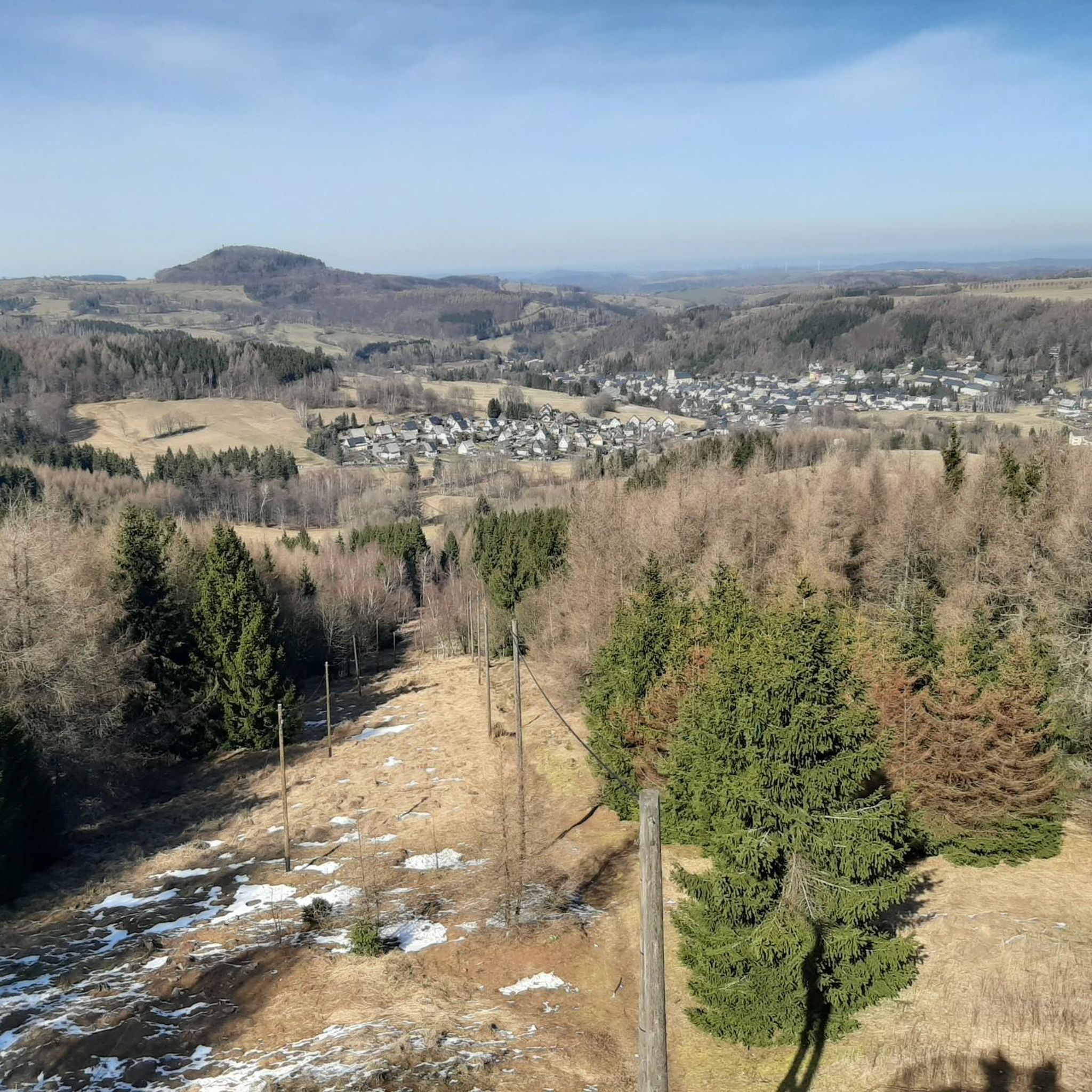
Touring cycling routes around Forest Kohlhaukuppe traverse the hilly terrain of the Eastern Ore Mountains, characterized by dense forests and mountain meadows. The region features an asphalt forest road leading to the Kohlhaukuppe summit, offering panoramic views of the German and Czech sides of the Ore Mountains. This area provides a scenic environment for cycling, with diverse natural features and varied elevation profiles.
Best touring cycling routes around Forest Kohlhaukuppe
- The most popular touring cycling route is Fláje Reservoir – Fláje Dam loop from Geising, a 34.4 miles (55.3 km) trail that takes 3 hours 45 minutes to complete. This difficult route features significant elevation gain and views of the Fláje Reservoir.
- Another top favourite among local touring cyclists is Geising Town Hall – View of Mückentürmchen loop from Geising, a moderate 14.0 miles (22.5 km) path. This route offers varied terrain and takes approximately 1 hour 46 minutes to complete.
- Local touring cyclists also love the Hochwaldstraße – Hochwaldstraße loop from Geising, a 36.4 miles (58.6 km) trail leading through forested areas and offering challenging climbs, often completed in about 3 hours 50 minutes.
- Touring cycling around Forest Kohlhaukuppe is defined by hilly terrain, dense forests, and panoramic viewpoints from elevated positions. The network offers options for different ability levels, from moderate rides to more challenging ascents.
- The routes in Forest Kohlhaukuppe are highly rated by the komoot community with an average score of 4.7 stars from over 500 reviews. More than 2900 touring cyclists have used komoot to explore Forest Kohlhaukuppe's varied terrain.
Last updated: August 7, 2026
4.9
(18)
95
riders
55.3km
03:46
810m
810m
Hard bike ride. Very good fitness required. Mostly paved surfaces. Suitable for all skill levels.
5.0
(1)
11
riders
22.4km
01:45
360m
360m
Moderate bike ride. Good fitness required. Mostly paved surfaces. Suitable for all skill levels.

Sign up for free
5.0
(3)
7
riders
Hard bike ride. Very good fitness required. Mostly paved surfaces. Suitable for all skill levels.
5.0
(1)
4
riders
14.2km
01:01
300m
300m
Moderate bike ride. Good fitness required. Mostly paved surfaces. Suitable for all skill levels.
5
riders
64.0km
04:51
1,180m
1,180m
Hard bike ride. Very good fitness required. You may need to push your bike for some segments of this route.
Get access to more routes and recommendations from other explorers.
Sign up for free
Already have an account?
Our route recommendations are based on thousands of hikes, rides, and runs completed by other people on komoot.
Start today with a free account
Your next adventure awaits.
Login or Signup
Tips from the Community

Unfortunately, the boardwalk is too narrow for strollers or wheelchairs, dogs are allowed on a leash. A visit to the high moor is particularly worthwhile in spring when various plants – such as cotton grass – are in bloom.
0
0

Geising is a very nice place; you can eat well in the Ratskeller.
0
1

At the Wittichbaude, you can enjoy typical Czech cuisine. There's something to discover all around, whatever the season. Phenomenal views of the valley await.
1
0

very nice campsite by the pond
0
0


A beautiful bike tour on mostly paved roads, with occasional rough terrain and gravel. Fantastic weather, stunning views of the Eastern Ore Mountains and the Gottleuba Valley.
0
0

The Flaje Dam (Fláje Dam) The Flaje Dam is a major drinking water reservoir in the Czech part of the Ore Mountains. * Location: It is located in the Eastern Ore Mountains, northwest of the municipality of Český Jiřetín (Georgendorf) and southeast of the town of Fláje (Fleyh), after which it bears its name. It is relatively close to the German-Czech border. * Purpose: Its primary and most important function is to supply drinking water to the region around Most (Brüx) and other parts of Northern Bohemia. Therefore, access to the lake and swimming are strictly prohibited to protect water quality. * Construction: The dam was built between 1951 and 1964. Its construction was a feat of engineering, as it is the only pier dam in the Czech Republic. This means that the dam consists of individual, vertical piers, giving it an unusual and striking appearance.
13
1

Great excursion destination, you can also go around by bike or on foot🚵🏻🚶🏻🚶♀️🚵♀️ There is also a restaurant for refreshments right near the dam 🌭🥪🍺🧃
1
0
Frequently Asked Questions
How many touring cycling routes are available around Forest Kohlhaukuppe?
There are over 180 touring cycling routes in the Forest Kohlhaukuppe region. These routes cater to various skill levels, with 6 easy, 82 moderate, and 99 difficult options available for exploration.
What kind of terrain can I expect on touring cycling routes around Forest Kohlhaukuppe?
The terrain around Forest Kohlhaukuppe is characterized by the hilly landscape of the Eastern Ore Mountains, featuring dense forests and mountain meadows. You'll encounter varied elevation profiles, including challenging climbs, especially on the asphalt forest road leading to the Kohlhaukuppe summit. The region offers a mix of forest paths and paved sections.
What natural features and viewpoints can I see along the touring cycling routes?
Many routes offer stunning panoramic views, particularly from the summit of Kohlhaukuppe, where a steel observation tower provides expansive vistas of both the German and Czech sides of the Ore Mountains and the Bohemian Basin. You can also enjoy the picturesque Eastern Ore Mountains terrain with its forests and mountain meadows. The nearby Georgenfeld moor offers a distinct natural environment for exploration. For specific viewpoints, consider visiting the Kohlhaukuppe Observation Tower.
Are there touring cycling routes suitable for beginners or families?
Yes, while many routes feature hilly terrain, there are 6 easy and 82 moderate touring cycling routes available that are suitable for less experienced cyclists or families. These routes offer a less strenuous way to enjoy the scenic environment of Forest Kohlhaukuppe.
Are there challenging touring cycling routes for experienced cyclists?
Absolutely. The Forest Kohlhaukuppe area is well-suited for experienced touring cyclists, with 99 difficult routes available. These often include significant elevation gains and challenging climbs through forested areas. A popular difficult route is the Fláje Reservoir – Fláje Dam loop from Geising, which covers 34.4 miles (55.3 km) with over 800 meters of elevation gain.
Can I find circular touring cycling routes in the Forest Kohlhaukuppe area?
Yes, many of the touring cycling routes around Forest Kohlhaukuppe are designed as loops, allowing you to start and end at the same point. Examples include the moderate Geising Town Hall – View of Mückentürmchen loop from Geising and the challenging Hochwaldstraße – Hochwaldstraße loop from Geising.
What do other touring cyclists enjoy the most about touring cycling in Forest Kohlhaukuppe?
The area is highly rated by the komoot community, with an average score of 4.7 stars from over 500 reviews. Touring cyclists often praise the diverse terrain, the rewarding panoramic views from elevated positions like the Kohlhaukuppe summit, and the well-maintained paths through dense forests and mountain meadows.
Are there any specific attractions or points of interest near the touring cycling routes?
Yes, the region offers several attractions that can complement your cycling tour. At the summit of Kohlhaukuppe, you'll find the Kohlhaukuppe Summit Hut and Observation Tower, known for its rustic charm and garlic-themed cuisine. Other nearby points of interest include the Exhibition Mine Vereinigt Zwitterfeld, the vanished village Vorderzinnwald, the Mining Museum Altenberg, and the Geising Zoo.
Is parking available for touring cyclists near Forest Kohlhaukuppe?
While specific parking areas for cyclists are not detailed, the town of Geising, which serves as a common starting point for many routes, typically offers parking facilities. It's advisable to check local signage upon arrival for designated parking zones.
How can I reach Forest Kohlhaukuppe by public transport with my bike?
The region is generally accessible by public transport, with Geising being a key hub. Public transport options in the Eastern Ore Mountains often accommodate bicycles, especially on regional trains and some bus services. It's recommended to check the specific transport provider's website for their bicycle carriage policies and schedules before planning your trip.
What is the best time of year for touring cycling in Forest Kohlhaukuppe?
The spring, summer, and early autumn months generally offer the best conditions for touring cycling in Forest Kohlhaukuppe. During these seasons, the weather is typically mild, and the natural landscapes are at their most vibrant. The mountain hut at Kohlhaukuppe is open year-round, making it a potential destination even in colder months, but be prepared for snow and ice on trails during winter.
Are the touring cycling routes around Forest Kohlhaukuppe dog-friendly?
Many forest paths and natural trails in the Forest Kohlhaukuppe region are generally dog-friendly, allowing you to bring your canine companion along. However, it's always recommended to keep dogs on a leash, especially in areas with wildlife or near livestock, and to check for any specific local regulations or protected areas that might restrict access for dogs.
Most popular routes around Forest Kohlhaukuppe
Most popular attractions around Forest Kohlhaukuppe

Get inspired with the komoot mobile app


Explore more
Browse the best Cycling routes in other regions.
