The best running trails around Fix-Saint-Geneys
3.9
(12)
189
runners
55
runs
Jogging around Fix-Saint-Geneys offers diverse terrain within the Haute-Loire department of the Auvergne-Rhône-Alpes region. The area is characterized by a high altitude, ranging from 951 to 1,195 meters, and a rugged volcanic landscape that is part of the Massif Central. Runners can expect green valleys, basalt plateaus, and extensive forests, providing varied running routes. This mountainous environment ensures consistent elevation changes, ideal for different jogging workouts.
Best jogging routes around Fix-Saint-Geneys
- The most popular jogging route is In the Footsteps…
Last updated: July 1, 2026
1
runners
9.69km
01:06
110m
120m
Jog a moderate 6.0-mile (9.7 km) loop around the historic Château de Chavaniac-Lafayette in Livradois-Forez Regional Natural Park.
4.7
(3)
21
runners
10.5km
01:13
270m
270m
Moderate run. Good fitness required. Mostly paved surfaces. Suitable for all skill levels.

Sign up for free
13
runners
12.5km
01:25
250m
250m
Moderate run. Good fitness required. Mostly paved surfaces. Suitable for all skill levels.
4.5
(2)
14
runners
12.2km
01:24
290m
290m
Moderate run. Good fitness required. Mostly paved surfaces. Suitable for all skill levels.
10
runners
11.9km
01:20
260m
270m
Moderate run. Good fitness required. Mostly paved surfaces. Suitable for all skill levels.
Get access to more routes and recommendations from other explorers.
Sign up for free
Already have an account?
Our route recommendations are based on thousands of hikes, rides, and runs completed by other people on komoot.
Start today with a free account
Your next adventure awaits.
Login or Signup

Tips from the Community


The birthplace of General Lafayette (who played a crucial role in the American War of Independence) is here in a tiny Auvergne village.
0
0

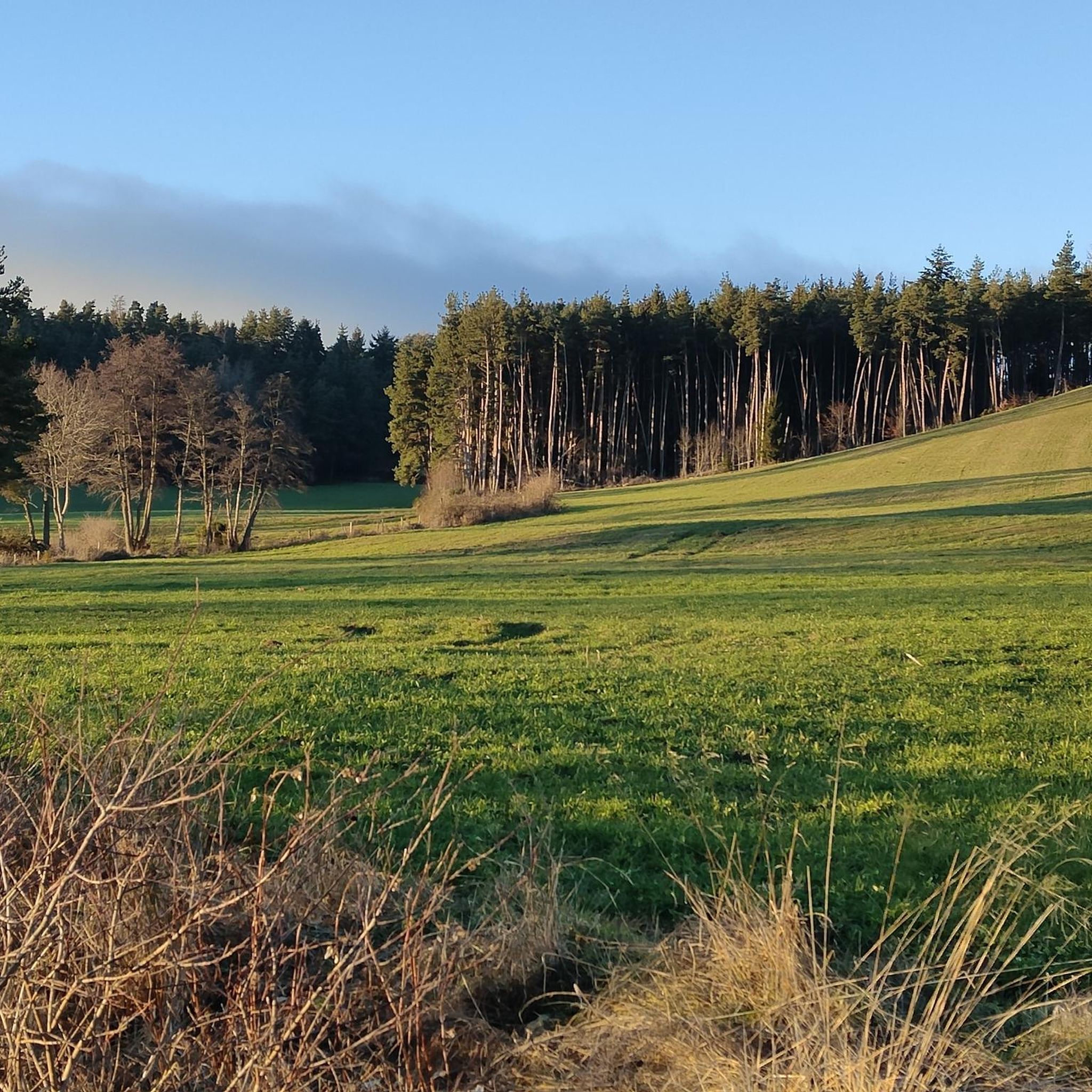
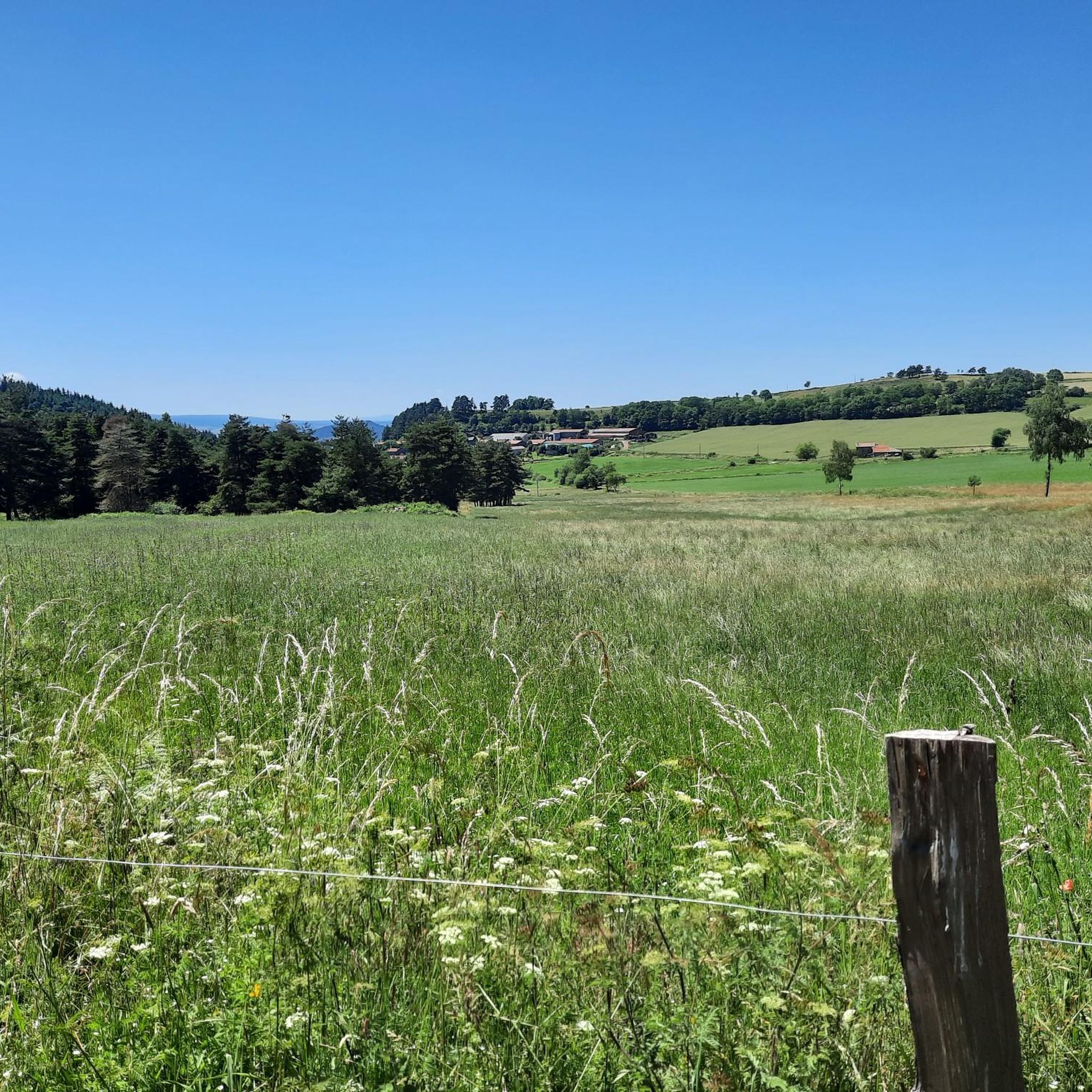
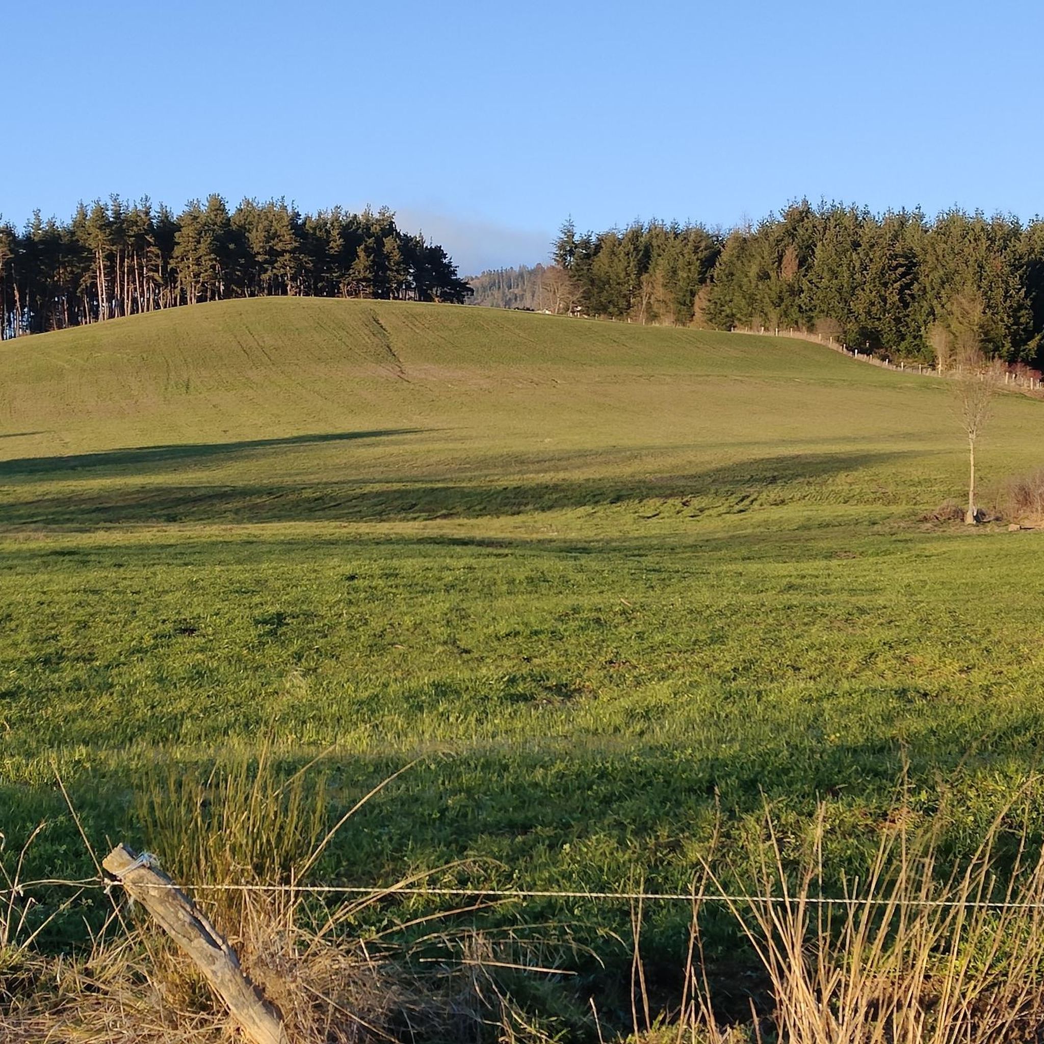
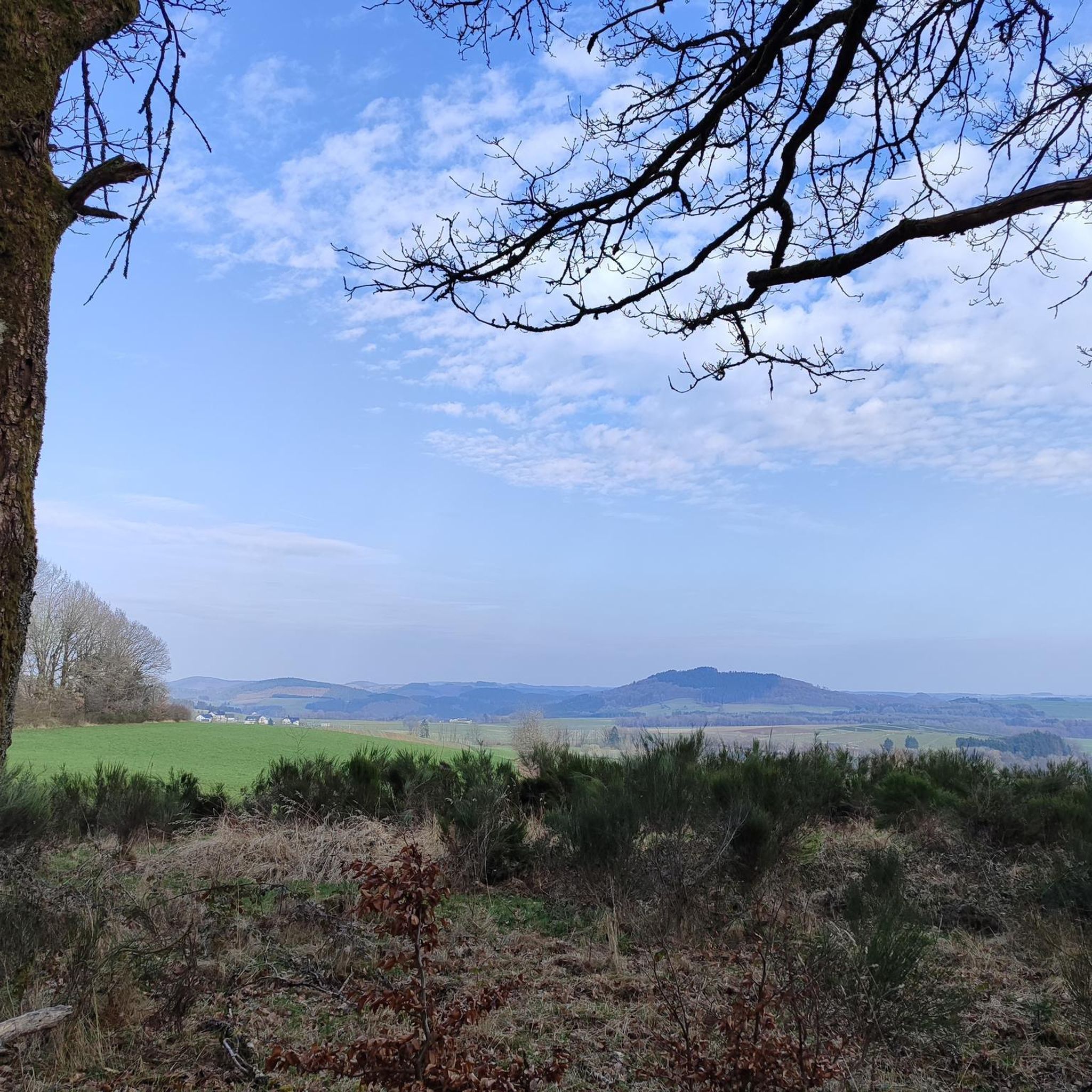
If in Auvergne there are several personalities who have marked history, the Marquis de Lafayette is one of the most important. Both a great craftsman in the American Revolutionary War and a leading figure during the French Revolution, he was born and spent his childhood here. If history buffs choose to visit the castle, the more athletic can take advantage of the nature around the castle to run in the footsteps of the childhood of the “hero of two worlds”.
0
0
Frequently Asked Questions
How many running routes are available around Fix-Saint-Geneys?
There are over 40 running routes around Fix-Saint-Geneys, offering a wide range of options for different skill levels. The komoot community has explored these trails over 170 times, providing valuable insights into the area's diverse terrain.
What kind of terrain can I expect on the running trails in Fix-Saint-Geneys?
The running trails in Fix-Saint-Geneys are characterized by a diverse and rugged natural landscape, typical of the Haute-Loire department. You can expect high altitudes, ranging from 951 to 1,195 meters, with green valleys, basalt plateaus, and extensive forests. The region is part of the Massif Central, offering a unique volcanic environment with consistent elevation changes.
Are there running routes suitable for beginners in Fix-Saint-Geneys?
Yes, while many routes feature elevation changes, there are options for various ability levels. Among the 44 available routes, at least one is classified as easy, making it suitable for those new to running or looking for a less strenuous experience. The area's network of trails ensures there's something for everyone.
What are some notable landmarks or viewpoints I might encounter on the running routes?
Many running routes offer scenic views of the surrounding volcanic features. For instance, the View of Allègre – Mount Bar loop from Allègre provides panoramic vistas, including Mount Bar. The region itself is rich in volcanic formations and offers breathtaking scenery along the Gorges of the Loire and Allier rivers.
Are there any circular running routes in Fix-Saint-Geneys?
Yes, many of the running routes in Fix-Saint-Geneys are designed as loops, allowing you to start and finish at the same point. An example is the Monlet Wood – Monlet Church loop from Allègre, which takes you through scenic woodlands and past local landmarks.
What do other runners enjoy most about the trails in Fix-Saint-Geneys?
The running routes in Fix-Saint-Geneys are highly rated by the komoot community, with an average score of 3.8 stars from over 10 reviews. Runners often praise the varied terrain, the stunning natural beauty of the volcanic landscapes, and the opportunities for invigorating workouts amidst the high-altitude environment.
Are the running trails in Fix-Saint-Geneys suitable for families?
While the guide doesn't specifically categorize routes as 'family-friendly,' the presence of easy routes and the general nature of hiking trails in the region suggest that some paths could be suitable for families, especially those with older children or those accustomed to outdoor activities. It's advisable to check the difficulty and elevation profile of individual routes.
Can I bring my dog on the running trails around Fix-Saint-Geneys?
The Haute-Loire department is generally welcoming to outdoor activities. While specific rules for dogs on every trail are not detailed, many hiking trails in France permit dogs, often requiring them to be on a leash. It's always best to check local signage or specific route descriptions for any restrictions before heading out with your canine companion.
When is the best time of year to go running in Fix-Saint-Geneys?
The region's high altitude and diverse landscapes make it suitable for running across multiple seasons. Spring and autumn offer pleasant temperatures and vibrant scenery. Summer provides shaded paths in the extensive forests, while the mountainous environment can offer unique experiences in winter, though conditions may be more challenging. Always check local weather conditions before your run.
Are there any attractions or points of interest near the running routes in Fix-Saint-Geneys?
Yes, there are several interesting attractions nearby. For example, the Chavaniac-Lafayette Castle Museum is a significant historical site. You can also find natural points of interest like the La Durande Summit, offering great views. The charming hamlet of Aubaron is also highlighted as ideal for walks, which could be incorporated into a longer run.
Is parking available near the running trails in Fix-Saint-Geneys?
While specific parking locations for every trail are not listed, the region is well-equipped for outdoor enthusiasts. Many trailheads, especially those starting from villages like Allègre or Fix-Saint-Geneys itself, typically offer public parking facilities. It's recommended to check the starting point of your chosen route for specific parking information.
Can I access the running trails in Fix-Saint-Geneys using public transport?
The Haute-Loire department has some public transport options, but direct access to every trailhead by public transport might be limited, especially in more remote areas. Major towns like Allègre, which serve as starting points for several routes, are more likely to have public transport connections. For specific routes, it's advisable to research local bus schedules or consider a combination of transport methods.
Most popular routes around Fix-Saint-Geneys
Most popular attractions around Fix-Saint-Geneys

Get inspired with the komoot mobile app


Explore more
Browse the best Running Trails & Routes in other regions.
