The best walks and hikes around Giroussens
4.3
(25)
194
hikers
12
hikes
Hiking around Giroussens offers diverse terrain within the Tarn department of the Occitanie region. The area features picturesque landscapes, including the scenic Agout valley with its river bends and stone bridges. Hikers can explore varied countryside composed of hillsides, terraces, meadows, and local forests. This natural environment provides a range of walking routes for different preferences.
Best hiking trails around Giroussens
- The most popular hiking route is Girousens (panoramic view) – Nice gravel path loop from Giroussens, a 6.3…
Last updated: May 12, 2026
5.0
(2)
16
hikers
10.1km
02:41
100m
100m
Moderate hike. Good fitness required. Easily-accessible paths. Suitable for all skill levels.
5.0
(2)
13
hikers
6.31km
01:41
70m
80m
Easy hike. Great for any fitness level. Easily-accessible paths. Suitable for all skill levels.

Sign up for free
8
hikers
1.62km
00:26
20m
20m
Easy hike. Great for any fitness level. Easily-accessible paths. Suitable for all skill levels.
4
hikers
7.68km
02:04
90m
90m
Moderate hike. Good fitness required. Easily-accessible paths. Suitable for all skill levels.
6
hikers
2.73km
00:43
20m
20m
Easy hike. Great for any fitness level. Easily-accessible paths. Suitable for all skill levels.
Get access to more routes and recommendations from other explorers.
Sign up for free
Already have an account?
Our route recommendations are based on thousands of hikes, rides, and runs completed by other people on komoot.
Start today with a free account
Your next adventure awaits.
Login or Signup

Tips from the Community

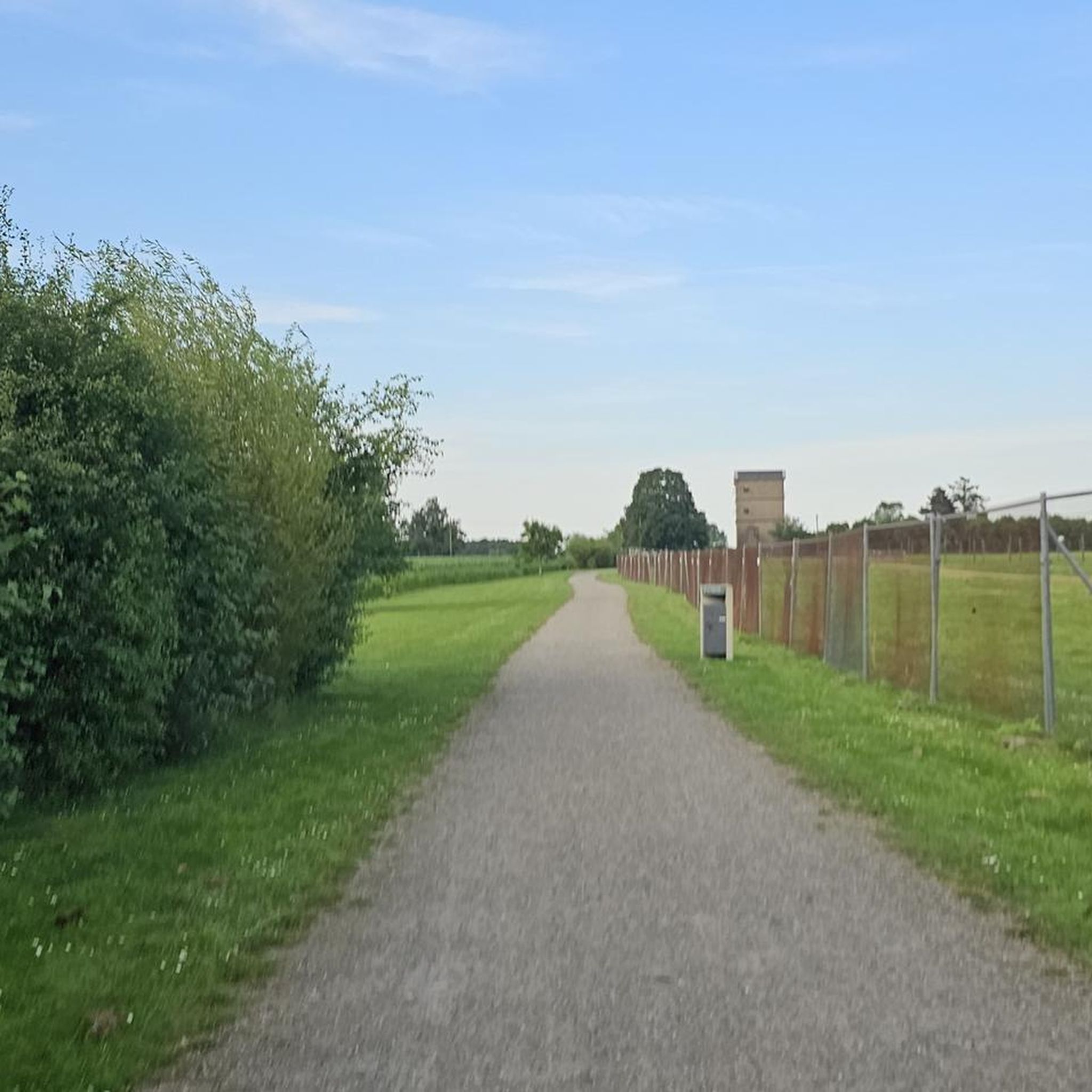
A dream gravel path that leads to the Giroussens forest.
0
0

The path begins at a wide, rolling start, then becomes narrower. The end is a bit technical, with a downhill path with a few rocks, but it's still easy to get around!
0
0
Magnificent! It's truly a must-see!
0
0

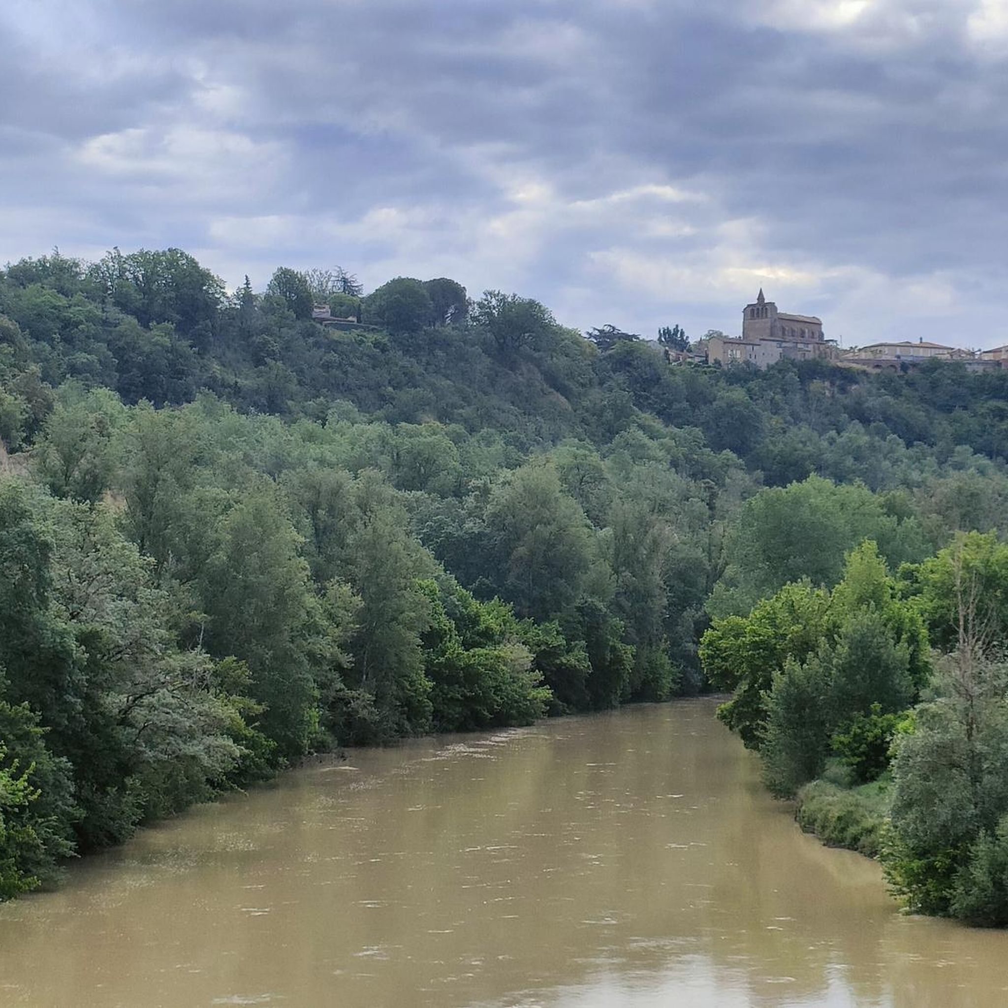
Certainly superb view over the Agoût valley. The nearby panorama on the C14 between Girousens and ST Anatole is worth the detour with visibility up to the Pyrenees in good weather.
1
0


Giroussens; nice climb by the D38 and great view
0
0

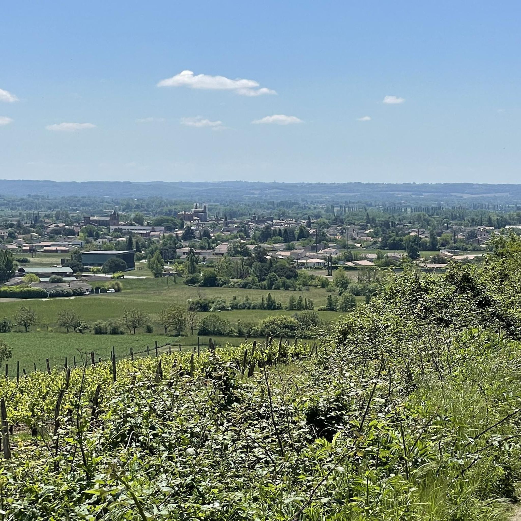
Girousens, a small village with a superb view over the valley and Agout.
0
0
Superb little road at the exit of Girousens. With a view of the valley and even the Pyrenees if the weather is right. Almost non-existent traffic. The road is yours!
0
0
Frequently Asked Questions
What types of terrain can I expect on hikes around Giroussens?
Hiking around Giroussens offers a diverse range of terrain. You'll find picturesque landscapes overlooking the Agout valley, with its scenic river bends and stone bridges. Trails often lead through varied countryside, including hillsides, terraces, and meadows. There are also opportunities to explore local woodlands, such as those suggested by the "En forêt de Giroussens" trail, providing a mix of open views and shaded paths.
Are there easy hiking options suitable for beginners in Giroussens?
Yes, Giroussens offers several easy hiking options perfect for beginners or those seeking a relaxed stroll. Out of the 12 available routes, 4 are classified as easy. An example is the Nice gravel path loop from La Verrerie, which is 6.3 km long and features well-maintained gravel paths. Another easy option is the Hiking loop from Giroussens, a shorter 2.7 km route.
Are there any circular hiking routes in the Giroussens area?
Yes, many of the hiking trails around Giroussens are designed as circular routes, allowing you to start and end at the same point without retracing your steps. For instance, the popular Girousens (panoramic view) – Nice gravel path loop from Giroussens is a 10.1 km loop offering panoramic views. Another option is the Route des Crêtes loop from Giroussens, which is 7.7 km long and features varied terrain.
What are the typical lengths and durations of hikes around Giroussens?
The hikes around Giroussens vary in length and duration to suit different preferences. You can find shorter routes like the Hiking loop from Les Martels, which is 1.6 km and takes about 25 minutes. Moderate trails, such as the Girousens (panoramic view) – Nice gravel path loop from Giroussens, are around 10.1 km and typically take about 2 hours 40 minutes to complete. The region offers a good mix, with routes ranging from under an hour to several hours.
What natural features or landmarks can I see along the hiking trails?
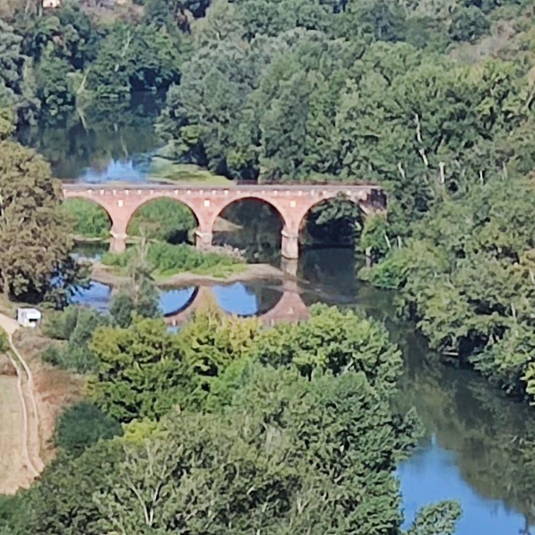
The hiking trails around Giroussens offer views of the scenic Agout valley, with its river and stone bridges. The village itself provides lovely vistas over the valley. You might also encounter the characteristic red brick architecture of the region. While hiking, you can also visit nearby attractions such as the Girousens (panoramic view) point, or explore the charming village of Azas.
Are there family-friendly hiking trails in Giroussens?
Yes, Giroussens has several trails suitable for families. The easier routes, with their well-maintained paths and shorter distances, are ideal for outings with children. For example, the Nice gravel path loop from La Verrerie is an easy 6.3 km route. Additionally, the nearby Jardins des Martels offers expansive gardens and a mini-farm, providing a tranquil outdoor experience that can complement a family hike.
What do other hikers enjoy the most about hiking in Giroussens?
The hiking routes in Giroussens are highly rated by the komoot community, with an average score of 4.4 stars from over 20 reviews. Reviewers often praise the scenic views over the Agout valley, the diverse countryside with its hillsides and meadows, and the well-maintained paths. Many appreciate the variety of options available, from easy strolls to more moderate routes, making it enjoyable for different ability levels.
Is there parking available at the trailheads in Giroussens?
While specific parking details for every trailhead are not always listed, Giroussens is a village with good accessibility. It is generally expected that parking is available within or near the village center, which often serves as a starting point for many local trails. For routes starting slightly outside the village, such as the Nice gravel path loop from La Verrerie, you would typically find local parking options in the vicinity of La Verrerie.
Can I reach the hiking trails around Giroussens using public transport?
Information on direct public transport access to every trailhead in Giroussens is limited. However, Giroussens is located in the Tarn department, which has regional transport networks. It is advisable to check local bus schedules or regional transport services that connect to Giroussens village. From the village center, many trails are accessible on foot, or you may need to arrange local transport to specific starting points further afield.
Are there any specific forests or wooded areas to explore on hikes?
Yes, the region around Giroussens includes local wooded areas that are great for forest walks. The existence of a trail named "En forêt de Giroussens" indicates that there are dedicated routes allowing hikers to experience the local woodlands. These areas provide shade and a different kind of natural beauty compared to the open valley views, often featuring varying altitudes.
What is the best time of year to go hiking in Giroussens?
Giroussens offers pleasant hiking opportunities throughout much of the year due to its location in the Occitanie region. Spring and autumn are generally ideal, with mild temperatures and beautiful natural colors. Summer can also be enjoyable, especially for shaded forest walks, though it's wise to start early to avoid the midday heat. Winter hikes are possible, but checking local weather conditions is always recommended.
Most popular routes around Giroussens
Most popular attractions around Giroussens

Get inspired with the komoot mobile app


Explore more
Browse the best Hikes in other regions.
