The best walks and hikes around Muir of Dinnet
4.5
(560)
3,974
hikers
147
hikes
Hikes around Muir of Dinnet explore a landscape of woodlands, heathlands, and wetlands on the eastern edge of the Cairngorms National Park. The region is characterized by two freshwater lochs, Loch Kinord and Loch Davan, and the River Dee which flows through the area. The terrain is generally low-lying, with trails winding through ancient forests and past notable geological features like the Burn O'Vat pothole.
Best hiking trails around Muir of Dinnet
- The most popular hiking route is Burn O'…
Last updated: October 11, 2026
4.7
(31)
141
hikers
13.3km
03:33
150m
150m
Moderate hike. Good fitness required. Easily-accessible paths. Suitable for all skill levels.
4.4
(10)
47
hikers
15.3km
04:01
120m
120m
Moderate hike. Good fitness required. Easily-accessible paths. Suitable for all skill levels.

4.3
(3)
13
hikers
6.06km
01:32
20m
20m
Easy hike. Great for any fitness level. Easily-accessible paths. Suitable for all skill levels.
4.5
(2)
11
hikers
6.01km
01:38
90m
90m
Easy hike. Great for any fitness level. Easily-accessible paths. Suitable for all skill levels.
8
hikers
3.93km
01:00
10m
10m
Easy hike. Great for any fitness level. Easily-accessible paths. Suitable for all skill levels.
Get access to more routes and recommendations from other explorers.
Already have an account?
Our route recommendations are based on thousands of hikes, rides, and runs completed by other people on komoot.
Start today with a free account
Your next adventure awaits.
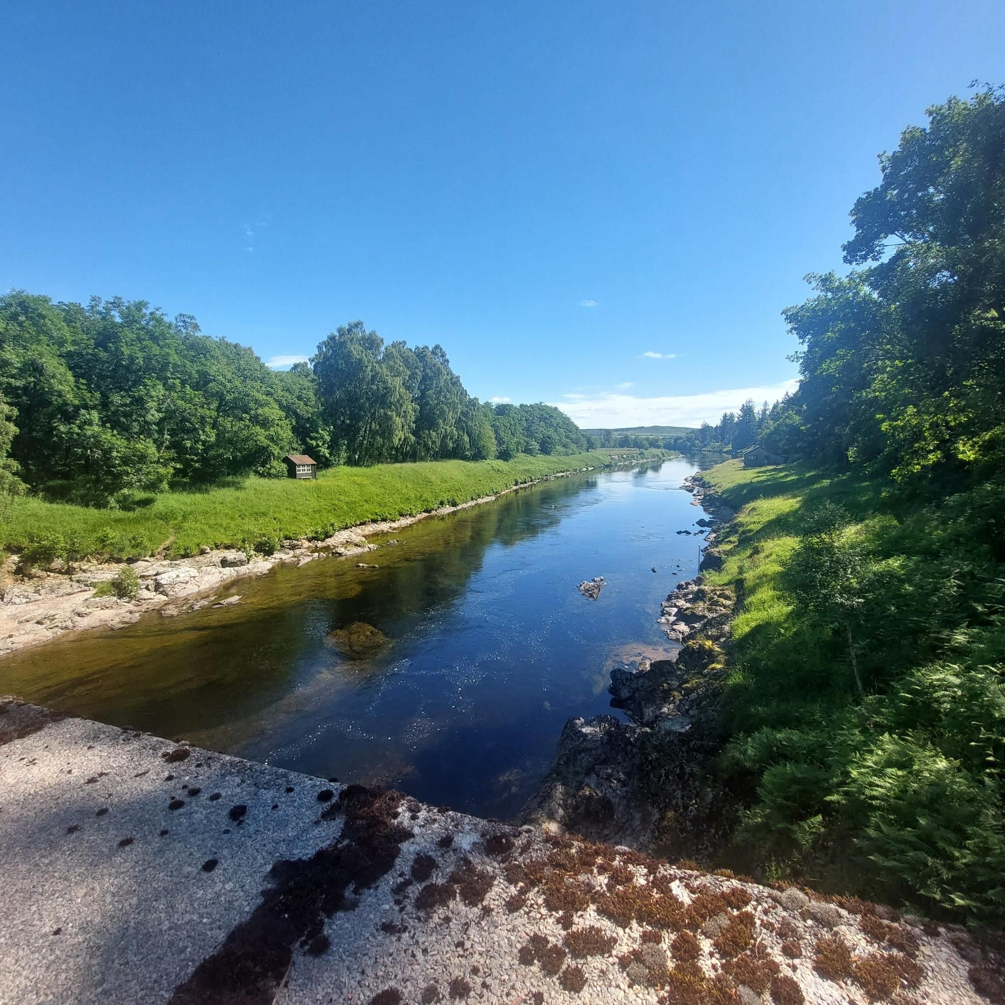
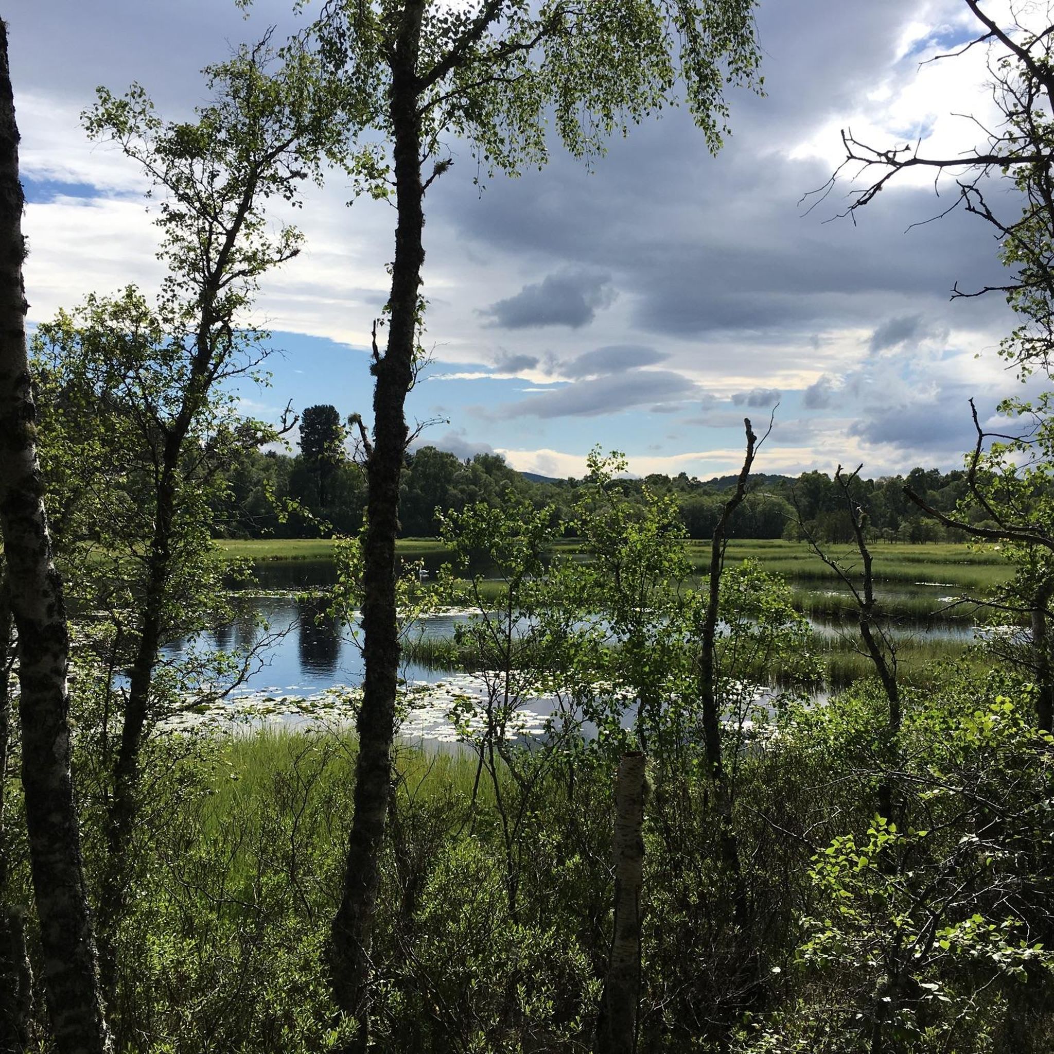

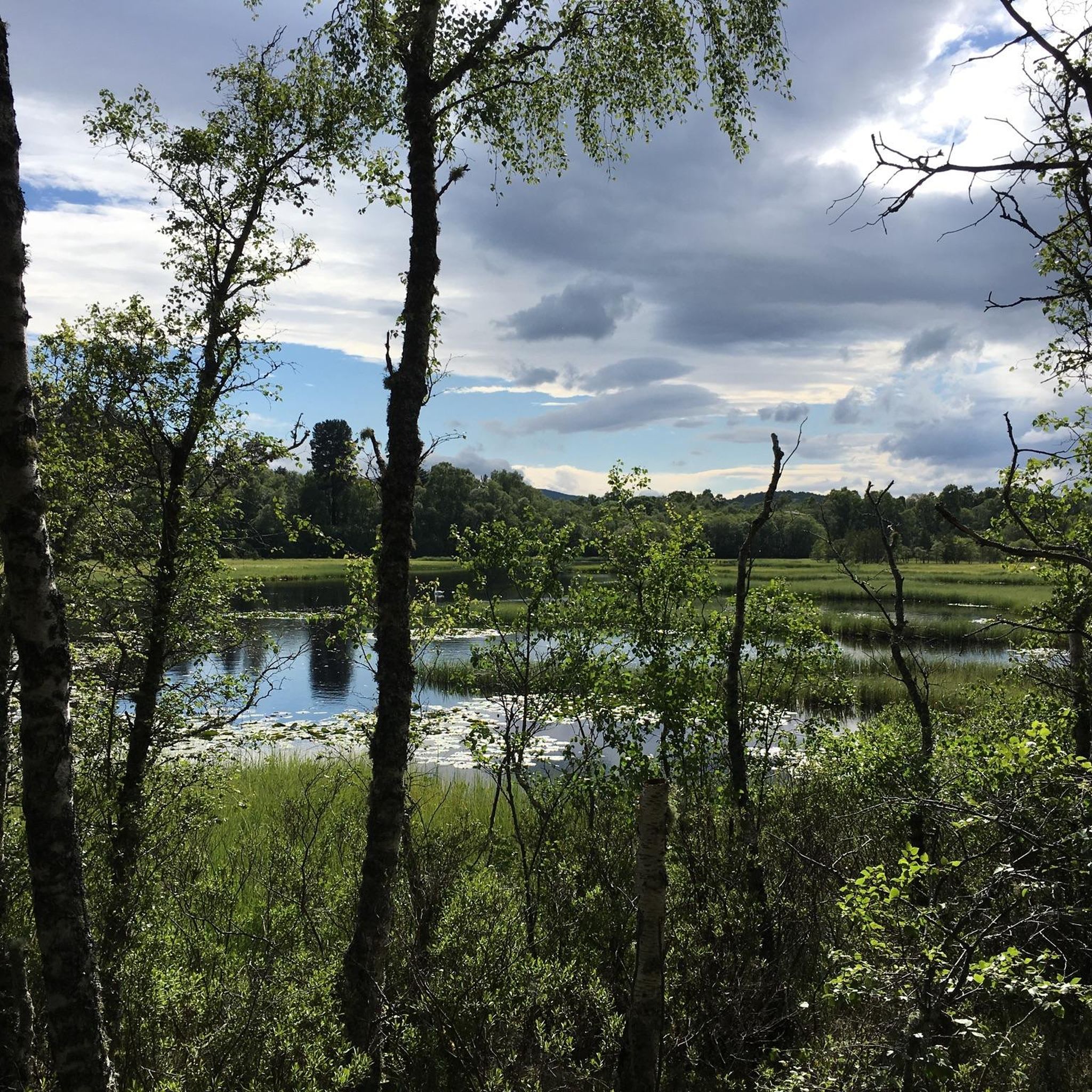
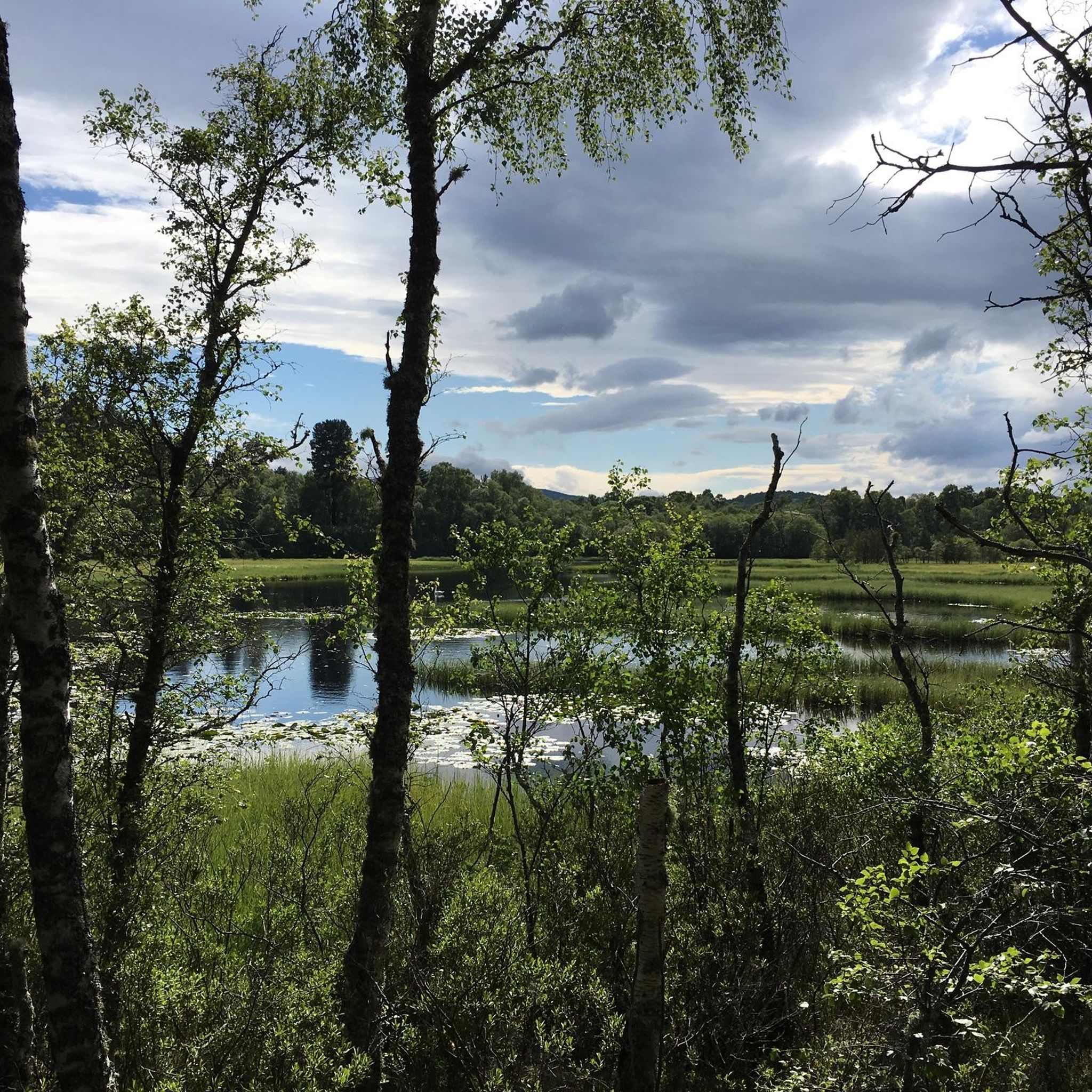
Tips from the Community

There are two crannogs in the loch. These are artificial islands and date to the iron age. The larger crannog includes the remains of Kinord Castle, dating to 1335!
0
0

not far from the parking lot, suitable for children
0
0

A waypoint on the circular path. Trees need trimming.
0
0

More of a waterwall than waterfall there’s been so little rain - just a trickle down one side at the moment :(
0
0

In summer you can see a lot of wild geese here.
0
0


Gates and steps make crossing this bridge unsuitable for electric bikes or for anyone with any kind of disability
0
0
Frequently Asked Questions
Are the hiking trails in Muir of Dinnet suitable for families with children?
Yes, many trails are great for families. The terrain is generally low-lying with several shorter, easier options. For a straightforward walk, consider the Hiking loop from Dinnet, which is a manageable 3.7-mile (5.9 km) route through the woodlands.
Can I bring my dog on the trails in Muir of Dinnet?
Yes, dogs are welcome in the Muir of Dinnet National Nature Reserve. However, it is a protected area with ground-nesting birds and other wildlife. You should keep your dog under close control or on a lead, especially between April and August during the bird breeding season.
What is the Burn O'Vat and how do I get there?
The Burn O'Vat is a spectacular giant pothole, a deep granite cauldron carved by glacial meltwater. You can walk right into it through a narrow rock fissure. The main trails start from the Burn O' Vat Visitor Centre, which has clear signposting for the path leading directly to this impressive geological feature.
Are there any circular walks available?
The reserve is well-known for its excellent circular walks. Many trails are designed as loops, allowing you to start and finish at the same point without retracing your steps. A good example is the Clarack Loch – Loch Kinord loop from Dinnet, a pleasant 2.4-mile (3.9 km) circuit around the water.
How do I get to Muir of Dinnet and where can I park?
Muir of Dinnet is located just off the A93 between Aboyne and Ballater. The main access point is the Burn O' Vat Visitor Centre, which has a dedicated car park. Be aware that this car park can get busy, especially on weekends and during holidays, so arriving early is a good idea.
What kind of wildlife might I see while hiking?
The diverse habitats support a rich variety of wildlife. In the woodlands, you might spot red squirrels, siskins, and long-tailed tits. The lochs are excellent for birdwatching, attracting various breeding and wintering birds. The reserve is also home to one of Scotland's largest stands of aspen woodland.
Are there any historical sites to see on the trails?
Yes, the area is rich in history. Several trails lead past ancient sites. The Kinord Cross – View of Loch Kinord Crannog loop from Dinnet is a short walk that takes you to a beautifully carved Pictish cross stone and offers views of a crannog, which is an ancient dwelling built on the loch.
How many hiking trails are there in the Muir of Dinnet area?
There are over 140 hiking routes to explore around Muir of Dinnet on Komoot. These range from short, easy walks suitable for all abilities to more challenging moderate trails, ensuring there's a path for every type of hiker.
What do other hikers think of the trails in Muir of Dinnet?
The trails are highly regarded by the Komoot community, with an average rating of 4.5 stars. Hikers often praise the well-maintained paths, the stunning scenery around the lochs, and the unique experience of exploring the Burn O'Vat.
What is the terrain like on the hikes?
The terrain is varied but generally not too strenuous. You'll encounter well-defined woodland paths, boardwalks across boggy areas like Parkin's Moss, and gentle trails along the shores of Loch Kinord and Loch Davan. Some paths, like the one into the Burn O'Vat, involve a little scrambling over rocks.
Are there facilities like toilets or a visitor centre?
Yes, the Burn O' Vat Visitor Centre, located at the main car park, provides toilets, picnic areas, and detailed information about the reserve's geology, wildlife, and history. It's the best place to start your visit to get oriented.
Most popular routes around Muir of Dinnet

Get inspired with the komoot mobile app


Explore more
Browse the best Hikes in other regions.
