
The best running trails around Les Tourreilles
4.5
(23)
771
runners
126
runs
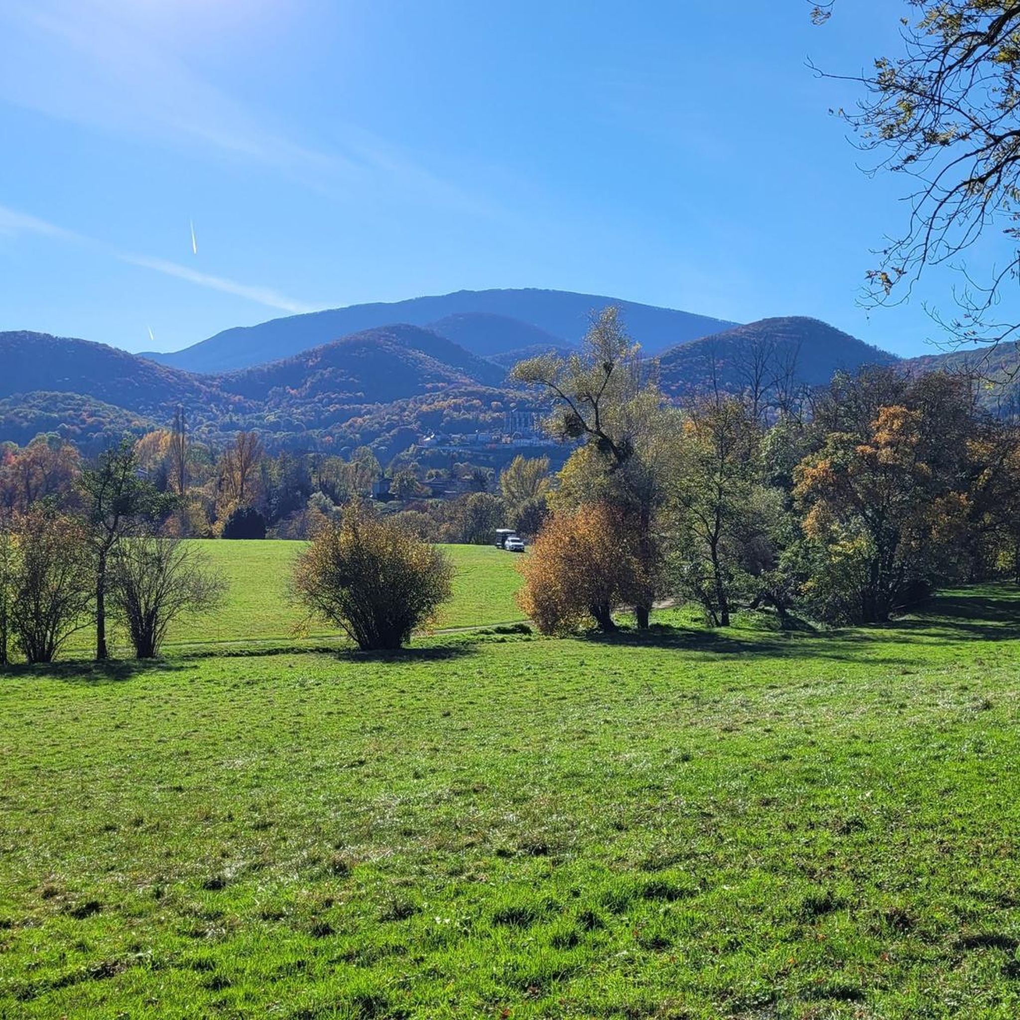
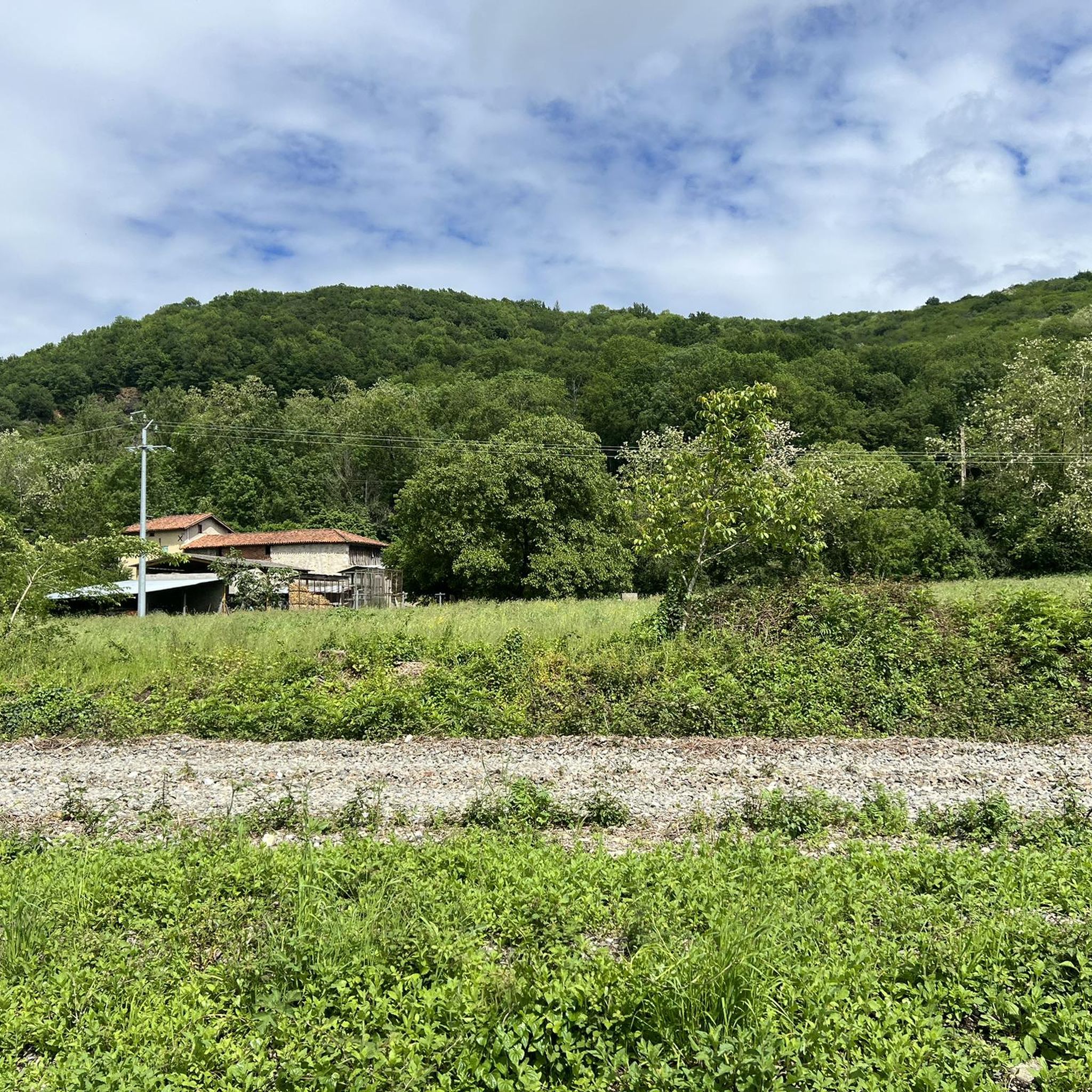
Jogging around Les Tourreilles offers diverse landscapes in the Haute-Garonne department of southwestern France. The region features varied terrain, from mostly paved surfaces to more challenging trails with elevation gains. Running routes often wind through forests and the surrounding countryside, providing a tranquil environment. Many paths also offer scenic views of the Pyrenees mountain range, adding a dramatic backdrop to outdoor activities.
Best jogging routes around Les Tourreilles
- The most popular jogging route is Lac de Montréjeau loop from Montréjeau…
Last updated: July 4, 2026
5.0
(1)
72
runners
6.37km
00:43
60m
60m
Moderate run. Good fitness required. Mostly paved surfaces. Suitable for all skill levels.
8
runners
13.6km
01:35
190m
190m
Moderate run. Good fitness required. Mostly paved surfaces. Suitable for all skill levels.

Sign up for free
5
runners
5.14km
00:32
20m
20m
Moderate run. Good fitness required. Mostly paved surfaces. Suitable for all skill levels.
6
runners
15.8km
01:56
320m
320m
Hard run. Very good fitness required. Mostly paved surfaces. Suitable for all skill levels.
3
runners
8.63km
01:01
140m
140m
Moderate run. Good fitness required. Mostly paved surfaces. Suitable for all skill levels.
Get access to more routes and recommendations from other explorers.
Sign up for free
Already have an account?
Our route recommendations are based on thousands of hikes, rides, and runs completed by other people on komoot.
Start today with a free account
Your next adventure awaits.
Login or Signup


Frequently Asked Questions
How many running routes are available around Les Tourreilles?
There are over 110 running routes available in the Les Tourreilles area, offering a wide variety of options for joggers of all levels.
What kind of terrain can I expect on the jogging trails in Les Tourreilles?
The region offers a diverse mix of terrains. You'll find routes with mostly paved surfaces for easier runs, as well as more challenging trails with significant elevation gains that wind through forests and the surrounding countryside. This variety ensures there's something for every preference.
Are there running routes suitable for beginners or more advanced runners?
Yes, the routes around Les Tourreilles cater to various fitness levels. There are 12 easy routes perfect for beginners, 92 moderate routes for those seeking a good workout, and 9 more difficult trails for experienced runners looking for a challenge.
What scenic views can I enjoy while running in Les Tourreilles?
Many routes in and around Les Tourreilles offer breathtaking views of the Pyrenees mountain range, providing a dramatic backdrop to your run. You might also find peaceful settings along the Canal de Franquevielle from the Cardeilhac Arboretum, where you can spot local wildlife.
Are there any circular running routes in the area?
Yes, many of the running routes around Les Tourreilles are circular, allowing you to start and finish at the same point. For example, the Running loop from Clarac is a moderate 6.4 km (4 miles) circular path.
What interesting landmarks or attractions can I see along the running trails?
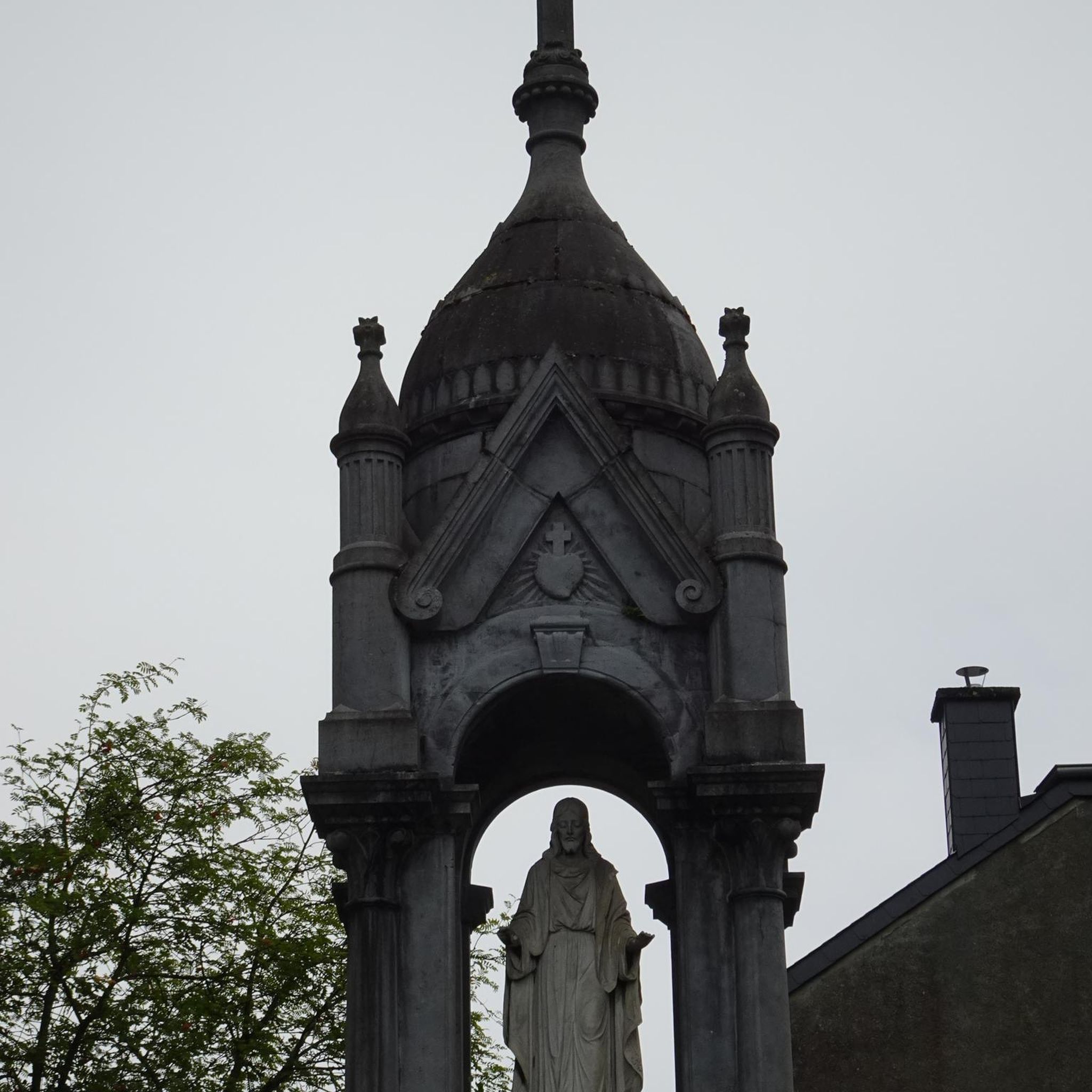
While jogging, you might encounter historical sites such as the Gallo-Roman Funerary Pile of Clergue. The region also features impressive structures like the Église Saint-Just de Valcabrère and the Cathédrale Notre-Dame de Saint-Bertrand-de-Comminges, which can often be admired from various routes, adding cultural interest to your run.
Are there family-friendly jogging routes in Les Tourreilles?
Yes, some routes are suitable for families, particularly those with mostly paved or gentle surfaces. The area around the Canal de Franquevielle from the Cardeilhac Arboretum offers a pleasant and peaceful setting that can be adapted for family-friendly jogging.
Can I bring my dog on the running trails in Les Tourreilles?
Many trails in the Les Tourreilles area are dog-friendly, especially those winding through forests and countryside. However, it's always recommended to keep your dog on a leash and check local regulations or specific route details on komoot for any restrictions.
Is parking available near the running routes?
Parking is generally available near popular starting points for running routes, especially in and around villages like Montréjeau or Huos. It's advisable to check the specific route details on komoot for information on designated parking areas.
What do other runners say about the jogging experience in Les Tourreilles?
The running routes in Les Tourreilles are highly rated by the komoot community, with an average score of 4.7 stars from over 20 reviews. Runners often praise the varied terrain, the tranquil environment of the forests, and the stunning views of the Pyrenees.
Are there any longer running routes for endurance training?
For those looking for longer runs, the Lac de Montréjeau – Table d'orientation loop from Montréjeau offers a substantial 13.6 km (8.4 miles) route with varied elevation, ideal for endurance training.
Most popular routes around Les Tourreilles
Most popular attractions around Les Tourreilles

Get inspired with the komoot mobile app


Explore more
Browse the best Running Trails & Routes in other regions.
