The best walks and hikes around Montauriol
4.7
(90)
587
hikers
26
hikes
Hiking around Montauriol offers diverse landscapes in the Pyrénées-Orientales region of France. The terrain features wooded environments, vineyards, and varying altitudes, providing engaging scenery for hikers. Views of Mont Canigou are prominent, and certain vantage points extend across the coastal plain to the Mediterranean Sea. The area provides a network of trails suitable for different fitness levels.
Best hiking trails around Montauriol
- The most popular hiking route is Sentier de l'Andouquette – loop starting from Crespin, a 4.8 miles…
Last updated: May 12, 2026
4.3
(18)
70
hikers
7.73km
02:19
230m
230m
Moderate hike. Good fitness required. Easily-accessible paths. Suitable for all skill levels.
4.5
(10)
50
hikers
17.1km
05:13
570m
570m
Hard hike. Very good fitness required. Easily-accessible paths. Suitable for all skill levels.

Sign up for free
4.7
(9)
68
hikers
9.55km
02:57
330m
330m
Moderate hike. Good fitness required. Easily-accessible paths. Suitable for all skill levels.
4.4
(7)
53
hikers
17.9km
05:32
620m
620m
Hard hike. Very good fitness required. Easily-accessible paths. Suitable for all skill levels.
5.0
(4)
52
hikers
9.07km
02:48
340m
340m
Moderate hike. Good fitness required. Easily-accessible paths. Suitable for all skill levels.
Get access to more routes and recommendations from other explorers.
Sign up for free
Already have an account?
Our route recommendations are based on thousands of hikes, rides, and runs completed by other people on komoot.
Start today with a free account
Your next adventure awaits.
Login or Signup


Tips from the Community

Sturdy footwear required! Beautiful tour!
0
0


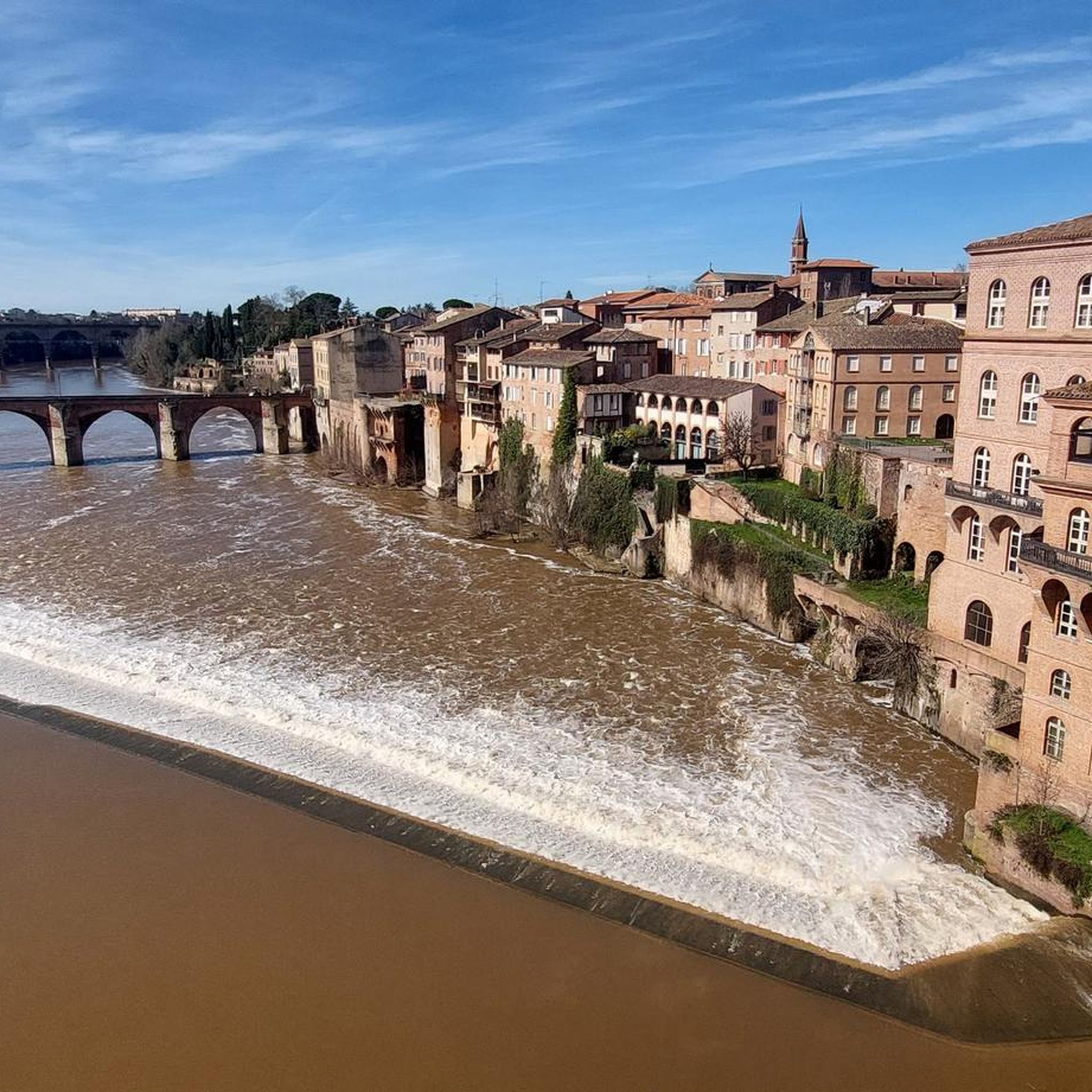
The Pont de Thuriès is a 13th Century bridge over the Viaur river that opened up trade between the Rouergue and the Albigeois regions. There is a picnic area nearby and you can also swim in the river.
0
0

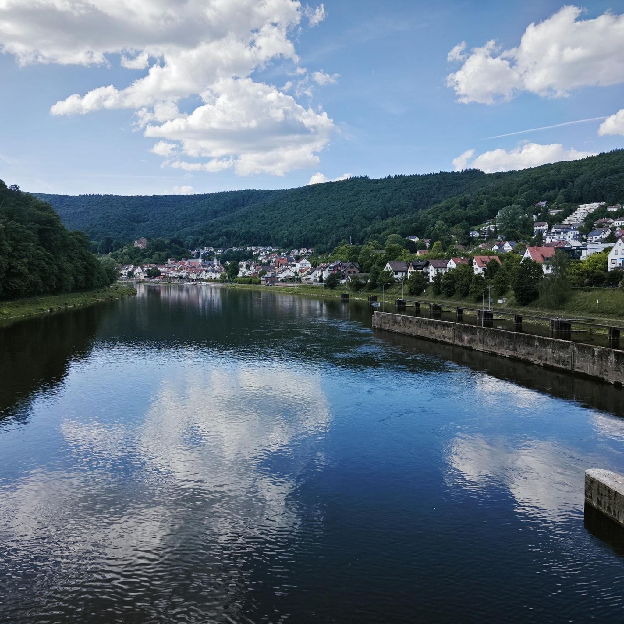
The Notre-Dame-de-Lasplanques church, once surrounded by a small hamlet, dates back to the 11th century. Its lost location in the Viaur valley and its defensive architecture allowed the population to take refuge there in the event of an attack, in particular from trucking companies (looter soldiers and mercenaries of the Middle Ages).
0
0
Meander on the Viaur having eroded a formidable rocky outcrop ideal for the establishment of a castle from the 13th century on the road leading from Toulouse to Lyon. Much later, the site took on an economic interest with the creation of a dam of more than 30 meters between 1919 and 1923.
1
0
Pretty forest path along the Andouquette stream. In the past, a castle (the Old Castle of Andouque) also protected the valley.
0
0
Frequently Asked Questions
How many hiking trails are available around Montauriol?
Montauriol offers a network of over 20 hiking trails, catering to various fitness levels. You'll find options ranging from easy walks to more challenging ascents, with 5 easy, 15 moderate, and 6 difficult routes.
Are there any family-friendly hiking options in Montauriol?
Yes, Montauriol has several trails suitable for families. The area offers 5 easy routes that are generally shorter in duration and have less significant elevation changes, making them ideal for a pleasant outing with children. These paths often traverse wooded environments and vineyards, providing engaging scenery.
What kind of landscapes and views can I expect on Montauriol's hiking trails?
The trails around Montauriol traverse diverse landscapes, including wooded areas, vineyards, and varying altitudes. You can expect prominent views of Mont Canigou, and certain vantage points, such as those on the 'Montauriol: les points de vue' trail, offer expansive views across the coastal plain all the way to the Mediterranean Sea.
Are there any circular walks available in Montauriol?
Yes, many of Montauriol's trails are designed as circular routes, allowing you to start and end at the same point. Examples include the moderate Sentier de l'Andouquette – loop starting from Crespin and the Pont de Thuriès loop from Pampelonne. For a more challenging option, consider the difficult Claude Rivencq footbridge loop from Teillet.
What are some notable landmarks or natural features I might encounter on a hike?
Along the trails, you might encounter historical structures and natural beauty. Highlights include the impressive Thuriès Castle and Viaur Dam, the serene Church of Notre-Dame-de-Lasplanques, and the picturesque Pont de Thuriès. The Ruisseau de l'Andouquette also offers a pleasant natural feature.
What is the best time of year to go hiking in Montauriol?
Given its location near the Pyrenees and diverse terrain, Montauriol is generally pleasant for hiking during spring, summer, and autumn. Spring and autumn offer milder temperatures and vibrant colors, while summer provides longer daylight hours. Winter hikes are possible, but conditions can vary, especially at higher altitudes.
Are there any challenging hikes for experienced trekkers?
Yes, Montauriol offers several challenging routes for experienced hikers. For example, the Thuriès Castle and Viaur Circuit is a difficult 10.6-mile path with significant elevation gain, typically taking over 5 hours to complete. Another demanding option is the Claude Rivencq footbridge loop from Teillet.
What do other hikers say about the trails in Montauriol?
The hiking trails in Montauriol are highly rated by the komoot community, with an average score of 4.7 stars from nearly 90 reviews. Hikers often praise the diverse landscapes, the prominent views of Mont Canigou, and the well-maintained network of paths that cater to different abilities.
Is Montauriol suitable for beginner hikers?
Absolutely. Montauriol has 5 easy routes that are perfect for beginners or those looking for a relaxed walk. These trails are generally shorter and have gentle gradients, allowing you to enjoy the region's natural beauty without strenuous effort.
Are there any trails that offer coastal views?
Yes, certain vantage points on trails around Montauriol provide expansive views. Specifically, the 'Montauriol: les points de vue' trail is known for offering vistas across the coastal plain, extending all the way to the Mediterranean Sea.
What kind of terrain can I expect on the hiking trails?
The terrain around Montauriol is quite varied. You'll hike through wooded environments, open vineyards, and areas with varying altitudes. This diversity ensures an engaging experience, from shaded forest paths to more exposed sections offering panoramic views.
Most popular attractions around Montauriol

Get inspired with the komoot mobile app


Explore more
Browse the best Hikes in other regions.
