The best road cycling routes around Sallagriffon
4.8
(25)
1,435
riders
39
rides
Road cycling routes around Sallagriffon offer diverse terrain in the foothills of the Miollans mountains and the Esteron valley. The region, part of the Préalpes d'Azur Regional Natural Park, features undulating roads, challenging climbs, and winding paths through picturesque valleys. Cyclists can expect to traverse limestone plateaus, dense forests, and steep valleys, providing varied experiences for different skill levels.
Best road cycling routes around Sallagriffon
- The most popular road cycling route is Around the Col de Vence, a 76.2…
Last updated: July 9, 2026
5.0
(1)
110
riders
123km
06:56
2,830m
2,840m
Hard road ride. Very good fitness required. Mostly well-paved surfaces and easy to ride.
5.0
(1)
266
riders
43.9km
02:45
1,250m
1,250m
Hard road ride. Very good fitness required. Some segments of this route may be unpaved and difficult to ride.

Sign up for free
5.0
(4)
203
riders
87.4km
04:53
1,890m
1,890m
Hard road ride. Very good fitness required. Mostly well-paved surfaces and easy to ride.
5.0
(1)
81
riders
101km
05:35
2,140m
2,140m
Hard road ride. Very good fitness required. Mostly well-paved surfaces and easy to ride.
5.0
(1)
38
riders
125km
07:26
3,180m
3,180m
Hard road ride. Very good fitness required. Mostly well-paved surfaces and easy to ride.
Get access to more routes and recommendations from other explorers.
Sign up for free
Already have an account?
Our route recommendations are based on thousands of hikes, rides, and runs completed by other people on komoot.
Start today with a free account
Your next adventure awaits.
Login or Signup
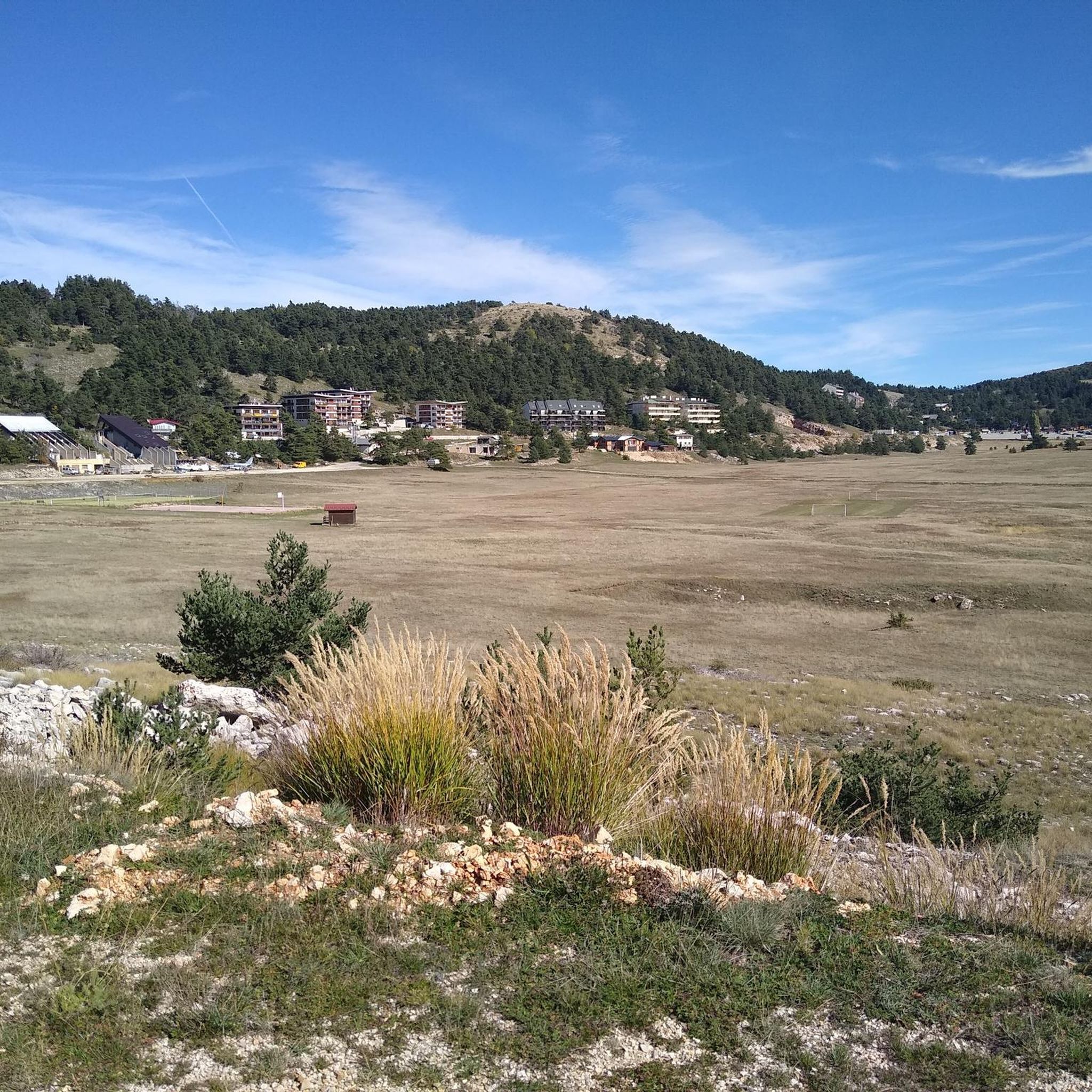
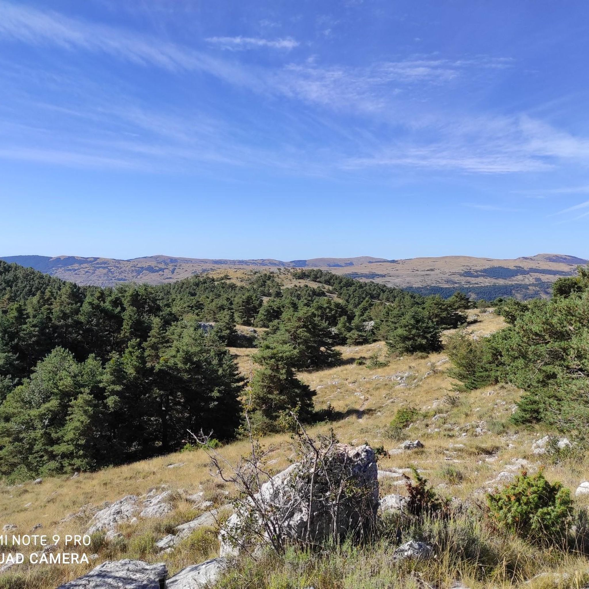
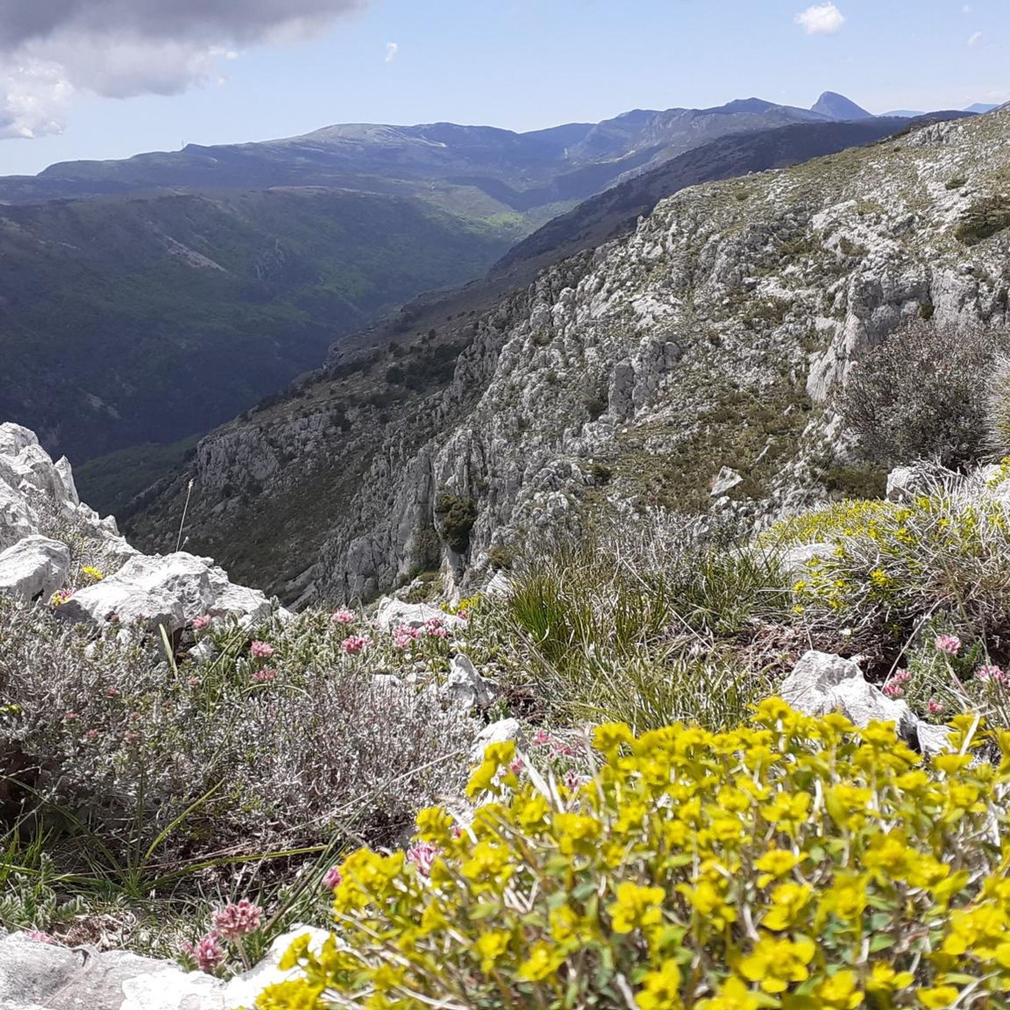
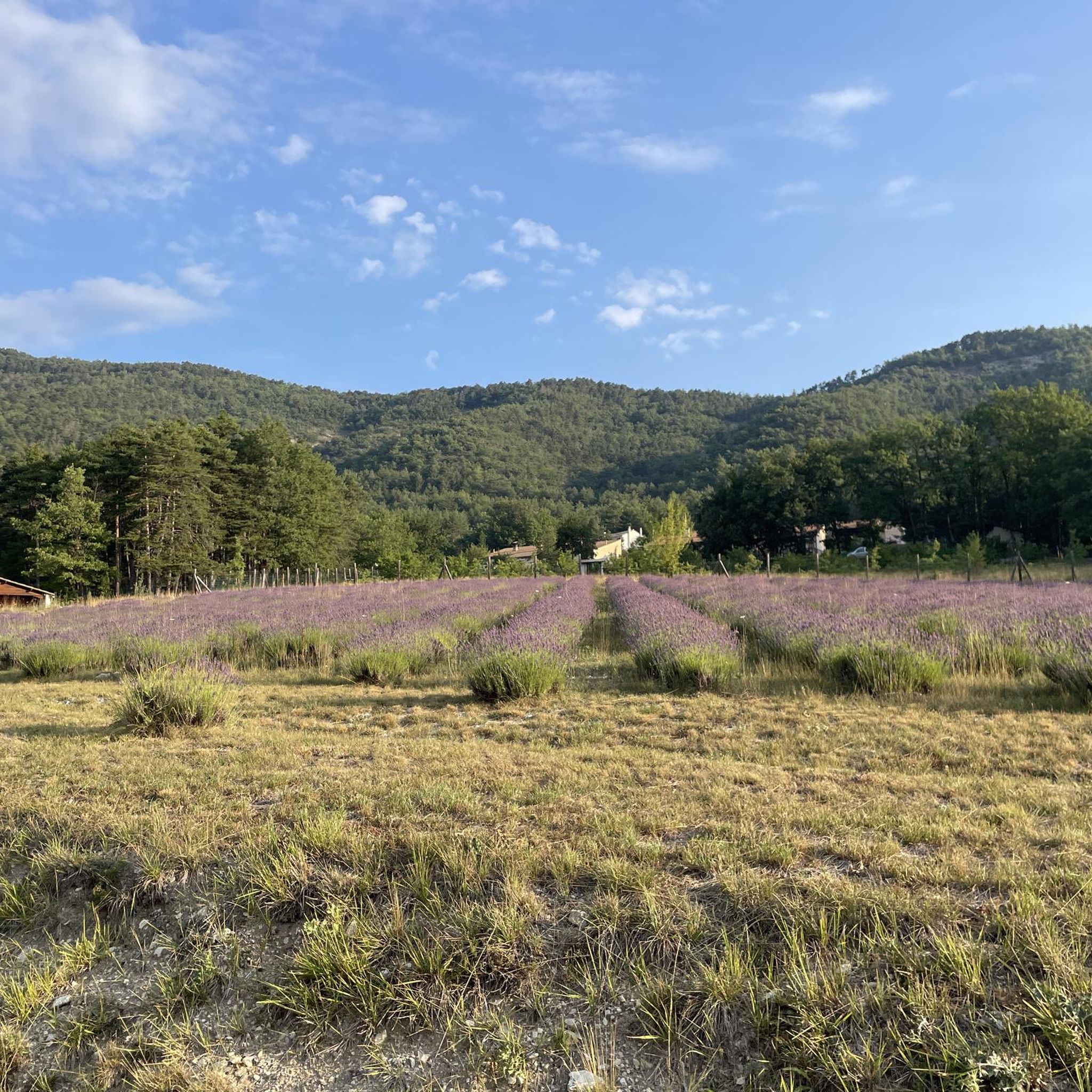
Tips from the Community

The Col de Sainte-Anne is a pass at an altitude of 425 meters in the French department of Bouches-du-Rhône.
0
0
The Col de la Couillole is a mountain pass in the Massif du Mercantour-Argentera of the French Alps, situated at an altitude of 1,678 m (5,505 ft) in the Alpes-Maritimes department, France. The road connection is open for six to seven months of the year, allowing travel between the Cians gorges in the west and the Tinée valley in the east.
0
0
The Col de la Couillole is a mountain pass in the Massif du Mercantour-Argentera of the French Alps, situated at an altitude of 1,678 m (5,505 ft) in the Alpes-Maritimes department, France. The road connection is open for six to seven months of the year, allowing travel between the Cians gorges in the west and the Tinée valley in the east.
0
0

There are some very interesting passages along this stretch of road.
11
0

Don't hesitate to enter the village to appreciate all its charm.
0
0

Spectacular view towards the steep valley of Tinée.
0
0

very nice climb, can be very warm from June on, no water sources along It, get some before starting the road uphill
2
0

Small village ideal for a break The bakery is very good
0
0
Frequently Asked Questions
What kind of terrain can I expect on road cycling routes around Sallagriffon?
Road cycling around Sallagriffon offers a diverse landscape, from the undulating roads in the foothills of the Miollans mountains to winding paths through the picturesque Esteron valley. You'll encounter challenging climbs, limestone plateaus, dense forests, and steep valleys, providing varied experiences for different skill levels.
Are there road cycling routes suitable for beginners or those looking for an easier ride?
Yes, while the region is known for its challenging terrain, there are options for various ability levels. Out of 39 routes, 2 are rated as easy and 16 as moderate, offering less strenuous climbs and distances. For example, the route Climb to Col de Saint-Leger – View of Entrevaux loop from Puget-Théniers is a moderate option.
What are some challenging road cycling routes in the Sallagriffon area?
Sallagriffon is an excellent destination for cyclists seeking a challenge. Many routes feature significant elevation gains and mountainous landscapes. Notable difficult routes include Around the Col de Vence (122.6 km with over 2,800m elevation gain) and Ascros Village and Castle – Col de Saint-Raphaël loop from Puget-Théniers (87.4 km with over 1,800m elevation gain). The Gorges du Cians – Ascent to Col de la Couillole loop from Rigaud - Le Cians also offers a challenging ascent through dramatic gorges.
What natural features or scenic viewpoints can I discover while cycling near Sallagriffon?
The region is rich in natural beauty. You can cycle through the 'wild landscape' of the Esteron Valley, explore pre-Alpine plateaus, and witness 'vertiginous canyons' like the Clue d'Aiglun. Scenic highlights include the Clue de Gréolières Scenic Road and various mountain passes such as Col de Pinpinier, offering panoramic views of the surrounding valleys and mountains.
Are there any historic villages or landmarks to visit along the cycling routes?
Yes, many routes connect charming Provençal villages perched on rocky outcrops, providing cultural stops. Sallagriffon itself features ancient stone-built houses and a restored castle. You might also encounter historic sites like the View of Entrevaux, a medieval fortified town, on routes such as Climb to Col de Saint-Leger – View of Entrevaux loop from Puget-Théniers.
What do other road cyclists think about the routes in Sallagriffon?
The road cycling routes in Sallagriffon are highly regarded by the komoot community, with an average score of 4.8 stars from over 20 reviews. Cyclists often praise the varied terrain, challenging climbs, and the stunning natural surroundings of the Préalpes d'Azur Regional Natural Park.
Are there any long-distance cycling itineraries that pass through or near Sallagriffon?
Yes, the region is part of larger cycling initiatives. The 'Boucles d'Azur' offer circuits specifically designed for cycle tourism. Additionally, the Grand Tour des Préalpes d'Azur is a multi-day itinerary that traverses the natural park, providing a comprehensive way to experience the diverse landscapes and charming villages by bike, accessible from the Sallagriffon area.
When is the best time of year for road cycling in Sallagriffon?
The Alpes-Maritimes department, where Sallagriffon is located, generally offers favorable conditions for cycling for much of the year. The region's Mediterranean climate means pleasant temperatures outside of the peak summer heat. Spring and autumn typically provide ideal weather with comfortable temperatures and less crowded roads, perfect for tackling the climbs and enjoying the scenery.
Are there many loop routes for road cycling around Sallagriffon?
Yes, many of the road cycling routes around Sallagriffon are designed as loops, allowing you to start and end in the same location. Examples include Ascros Village and Castle – Col de Saint-Raphaël loop from Puget-Théniers and Gorges du Cians – Ascent to Col de la Couillole loop from Rigaud - Le Cians, which offer circular journeys through the diverse landscapes.
Is public transport available to access road cycling routes near Sallagriffon?
While Sallagriffon is a more secluded village, public transport options in the broader Alpes-Maritimes department can connect you to starting points for various routes. It's advisable to check local bus schedules for connections to larger towns like Puget-Théniers, which serve as starting points for several routes, such as Col de la Couillole – Ascent to Col de la Couillole loop from Puget-Théniers.
Are there cafes or places to stop for refreshments along the road cycling routes?
Cycling routes in the Sallagriffon area often pass through or near charming Provençal villages. These villages typically offer small cafes, bakeries, or local shops where you can stop for refreshments, water, or a quick bite. Planning your route to include these villages can enhance your cycling experience.
Most popular attractions around Sallagriffon

Get inspired with the komoot mobile app


Explore more
Browse the best Road cycling routes in other regions.
