The best cycling routes around Puget-Théniers
4.7
(40)
923
riders
11
rides
Touring cycling around Puget-Théniers offers routes through varied terrain, characterized by the pre-Alpine landscape of the Alpes-Maritimes department. The region features significant elevation changes, with routes often traversing river valleys, such as the Var and Esteron, and ascending into surrounding hills and mountain passes. This area provides a mix of challenging climbs and scenic descents, typical of a mountainous environment.
Best touring cycling routes around Puget-Théniers
- The most popular touring cycling route is Azur Loop No. 1: Between Var and…
Last updated: August 19, 2026
86
riders
88.3km
06:23
1,910m
1,910m
Hard bike ride. Very good fitness required. Mostly paved surfaces. Suitable for all skill levels.
4.5
(4)
22
riders
45.1km
03:12
880m
880m
Hard bike ride. Very good fitness required. Mostly paved surfaces. Suitable for all skill levels.

Sign up for free
4.0
(1)
21
riders
105km
07:29
2,080m
2,080m
Hard bike ride. Very good fitness required. Mostly paved surfaces. Suitable for all skill levels.
5.0
(1)
12
riders
46.4km
03:24
960m
960m
Hard bike ride. Very good fitness required. Mostly paved surfaces. Suitable for all skill levels.
10
riders
56.2km
04:07
1,250m
1,250m
Hard bike ride. Very good fitness required. Mostly paved surfaces. Suitable for all skill levels.
Get access to more routes and recommendations from other explorers.
Sign up for free
Already have an account?
Our route recommendations are based on thousands of hikes, rides, and runs completed by other people on komoot.
Start today with a free account
Your next adventure awaits.
Login or Signup
Tips from the Community

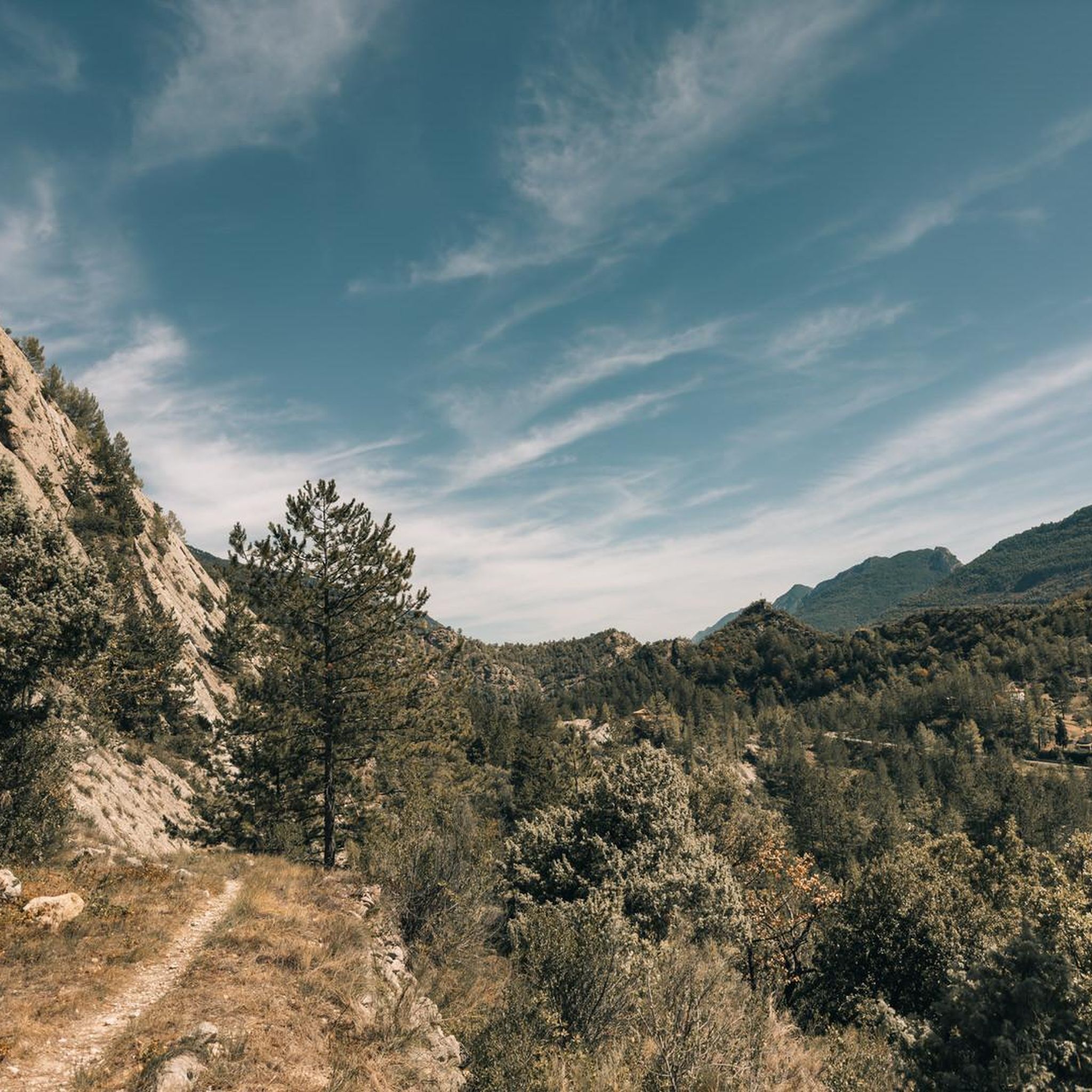
The Col de la Couillole is a mountain pass in the Massif du Mercantour-Argentera of the French Alps, situated at an altitude of 1,678 m (5,505 ft) in the Alpes-Maritimes department, France. The road connection is open for six to seven months of the year, allowing travel between the Cians gorges in the west and the Tinée valley in the east.
0
0

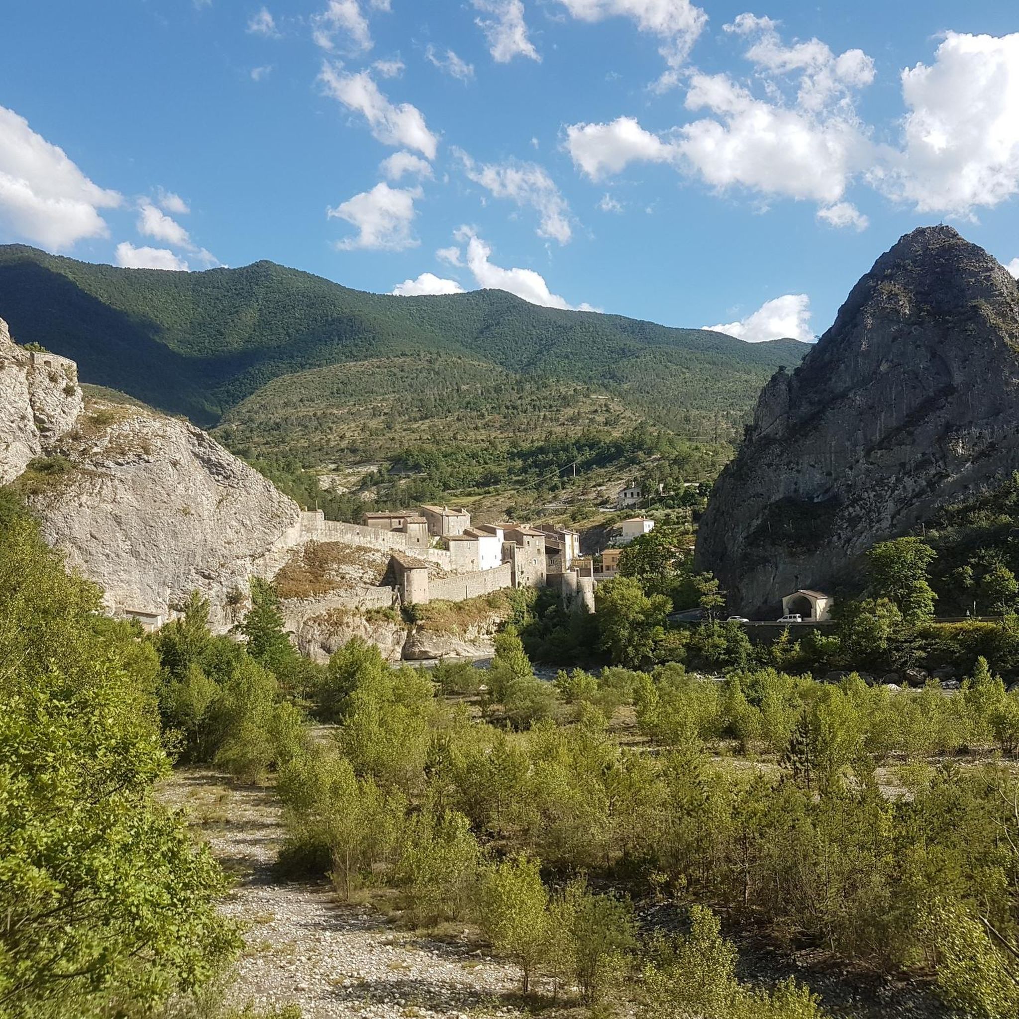
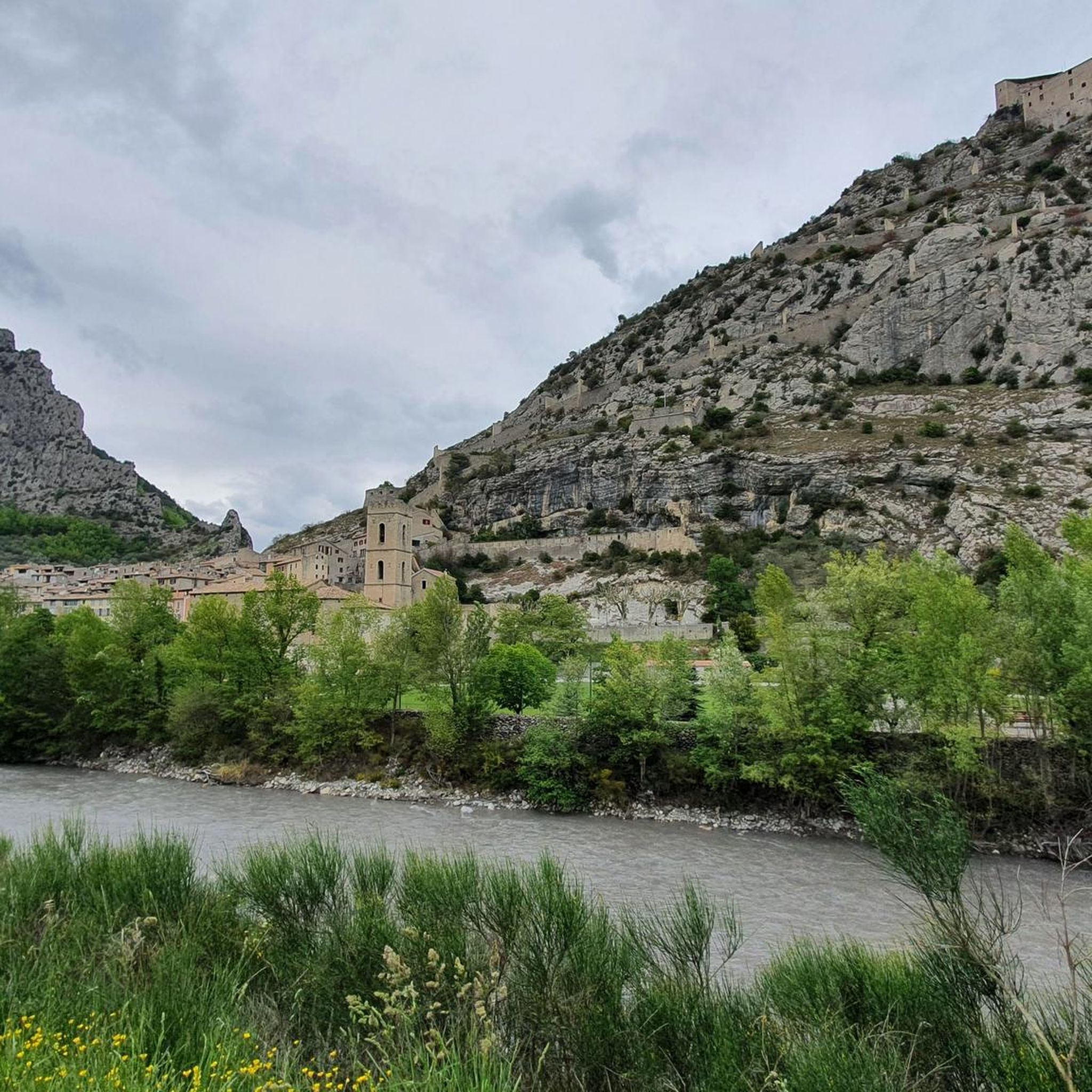
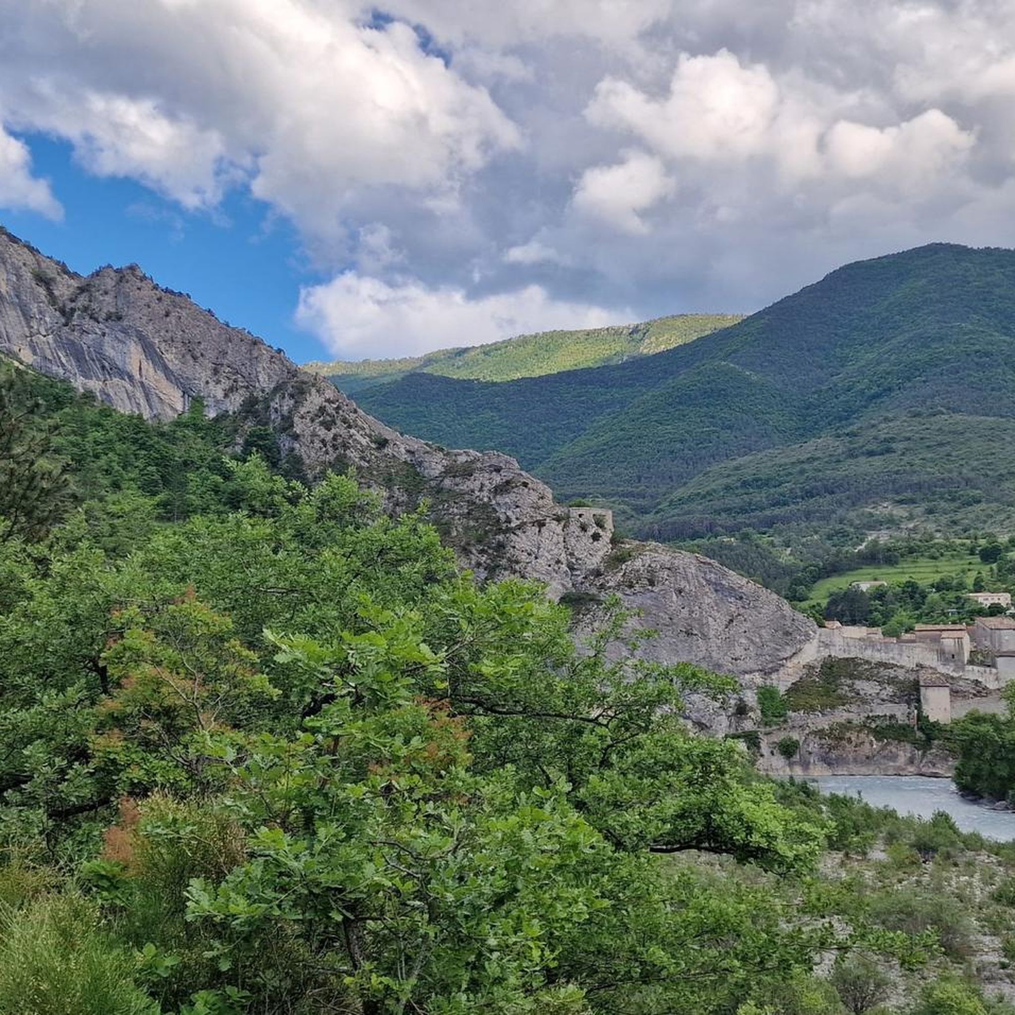
In addition to the citadel, cathedral, and its gates, Entrevaux also boasts a beautiful and cozy historic center. The Place Charles Panier and Place du Planet, in particular, invite you to linger in one of the cafés or restaurants.
5
0

village of ascros hanging on a rock, frankly I recommend you go there by bike, it's magical and magnificent as a place
0
0

An absolutely worthwhile detour if you are driving the Route des grandes Alpes.
0
0


Very beautiful road in the hollow of steep gorges with walls of red rocks. A place suitable for canyoning.
0
1

A beautiful little village, from the village a long staircase starts that leads up to the castle that watches over the town.
15
0
Frequently Asked Questions
What is the general difficulty level of touring cycling routes around Puget-Théniers?
The touring cycling routes around Puget-Théniers are predominantly challenging, reflecting the pre-Alpine landscape of the Alpes-Maritimes. Out of 34 routes, 30 are rated as difficult, 3 as moderate, and 1 as easy. This region is characterized by significant elevation changes, offering a mix of challenging climbs and scenic descents.
Are there any routes suitable for beginners or less experienced touring cyclists?
While most routes are challenging, there is at least one easy touring cycling route available. For those looking for a moderate option, the Azur Loop No. 1: Between Var and Esteron is a good choice. It's a 12.9-mile (20.8 km) trail with a steady ascent through the Esteron valley, typically completed in about 1 hour 28 minutes.
Where can experienced touring cyclists find challenging routes?
Experienced touring cyclists will find ample challenge in Puget-Théniers. Routes like the Col de Saint-Raphaël (876 m) – Roquestéron loop from Puget-Théniers offer significant climbs and descents over 54.4 miles (87.5 km). Another demanding option is the View of Roubion – Col de la Couillole (1,678 m) loop from Puget-Théniers, which covers over 65 miles (105 km) with substantial elevation gain.
What are the typical distances and durations for touring cycling routes in this area?
Routes vary significantly in length and duration. You can find shorter routes like the Azur Loop No. 1: Between Var and Esteron at 12.9 miles (20.8 km) taking under 1.5 hours. Longer, more challenging routes, such as the Col de Saint-Raphaël (876 m) – Roquestéron loop from Puget-Théniers, can extend to 54.4 miles (87.5 km) and require over 6 hours to complete.
Can I find circular touring cycling routes around Puget-Théniers?
Yes, many touring cycling routes in the Puget-Théniers area are designed as loops, allowing you to start and finish at the same point. Examples include the Col de Saint-Raphaël (876 m) – Roquestéron loop from Puget-Théniers and the Climb to Col de Saint-Leger – View of Entrevaux loop from B21.
What is the best time of year for touring cycling in Puget-Théniers?
The pre-Alpine climate means that spring and autumn generally offer the most pleasant conditions for touring cycling, with milder temperatures and less extreme weather. Summer can be quite warm, especially in the valleys, while winter may bring colder temperatures and potential snow at higher elevations, making some passes inaccessible.
What scenic viewpoints or attractions can I expect to see along the routes?
The region offers numerous scenic highlights. Many routes provide views of the historic village of Entrevaux. You can also encounter impressive natural features like the Clue d'Aiglun and the dramatic Daluis gorges. The area is also rich in mountain passes, such as Col de Vé Gautier and Col de Félines (930 m), which offer panoramic vistas.
Are there any notable landmarks or places to explore near the touring cycling routes?
Beyond the routes themselves, the area is dotted with interesting places. The village of Aiglun is a charming stop. The region is also known for its numerous mountain passes, which are landmarks in their own right, including Col de Saint-Raphaël and Col du Buis, each offering unique perspectives of the landscape.
Are there places to stop for refreshments or cafes along the touring cycling routes?
Given the mountainous and sometimes remote nature of the routes, it's advisable to carry sufficient water and snacks. However, many villages along the main valleys and passes will have small cafes or bakeries where you can refuel. Planning your route to pass through these villages is recommended for refreshment stops.
How many touring cycling routes are available around Puget-Théniers?
There are over 30 touring cycling routes available around Puget-Théniers, offering a wide range of options for different skill levels and preferences. This includes a mix of easy, moderate, and difficult trails, with a strong emphasis on challenging mountain rides.
What do other touring cyclists say about the routes in Puget-Théniers?
The touring cycling experience in Puget-Théniers is highly rated by the komoot community, with an average score of 4.8 stars from over 30 reviews. Cyclists often praise the varied terrain, the challenging mountain passes, and the scenic beauty of the river valleys, particularly the Var and Esteron.
Most popular attractions around Puget-Théniers

Get inspired with the komoot mobile app


Explore more
Browse the best Cycling routes in other regions.
