The best road cycling routes around Villeneuve-D'Entraunes
4.8
(52)
3,999
riders
22
rides
Road cycling routes around Villeneuve-D'Entraunes navigate a landscape characterized by dramatic mountain passes, deep river gorges, and alpine valleys. The region features significant elevation changes, with routes often ascending to high cols and descending through scenic canyons. This area, part of the French Pre-Alps, offers challenging climbs and rewarding descents through varied terrain.
Best road cycling routes around Villeneuve-D'Entraunes
- The most popular road cycling route is Red Gorges Discovery Trail, a 50.5 miles (81.2 km) trail that takes 4…
Last updated: July 9, 2026
5.0
(6)
413
riders
81.2km
04:31
1,690m
1,690m
Hard road ride. Very good fitness required. Mostly well-paved surfaces and easy to ride.
4.8
(4)
102
riders
27.6km
01:51
900m
900m
Moderate road ride. Good fitness required. Mostly well-paved surfaces and easy to ride.

Sign up for free
4.9
(15)
1,766
riders
136km
08:14
3,650m
3,650m
Hard road ride. Very good fitness required. Mostly well-paved surfaces and easy to ride.
5.0
(1)
105
riders
54.8km
03:24
1,520m
1,520m
Hard road ride. Very good fitness required. Mostly well-paved surfaces and easy to ride.
5.0
(2)
81
riders
66.0km
03:25
1,180m
1,180m
Hard road ride. Very good fitness required. Mostly well-paved surfaces and easy to ride.
Get access to more routes and recommendations from other explorers.
Sign up for free
Already have an account?
Our route recommendations are based on thousands of hikes, rides, and runs completed by other people on komoot.
Start today with a free account
Your next adventure awaits.
Login or Signup
Tips from the Community

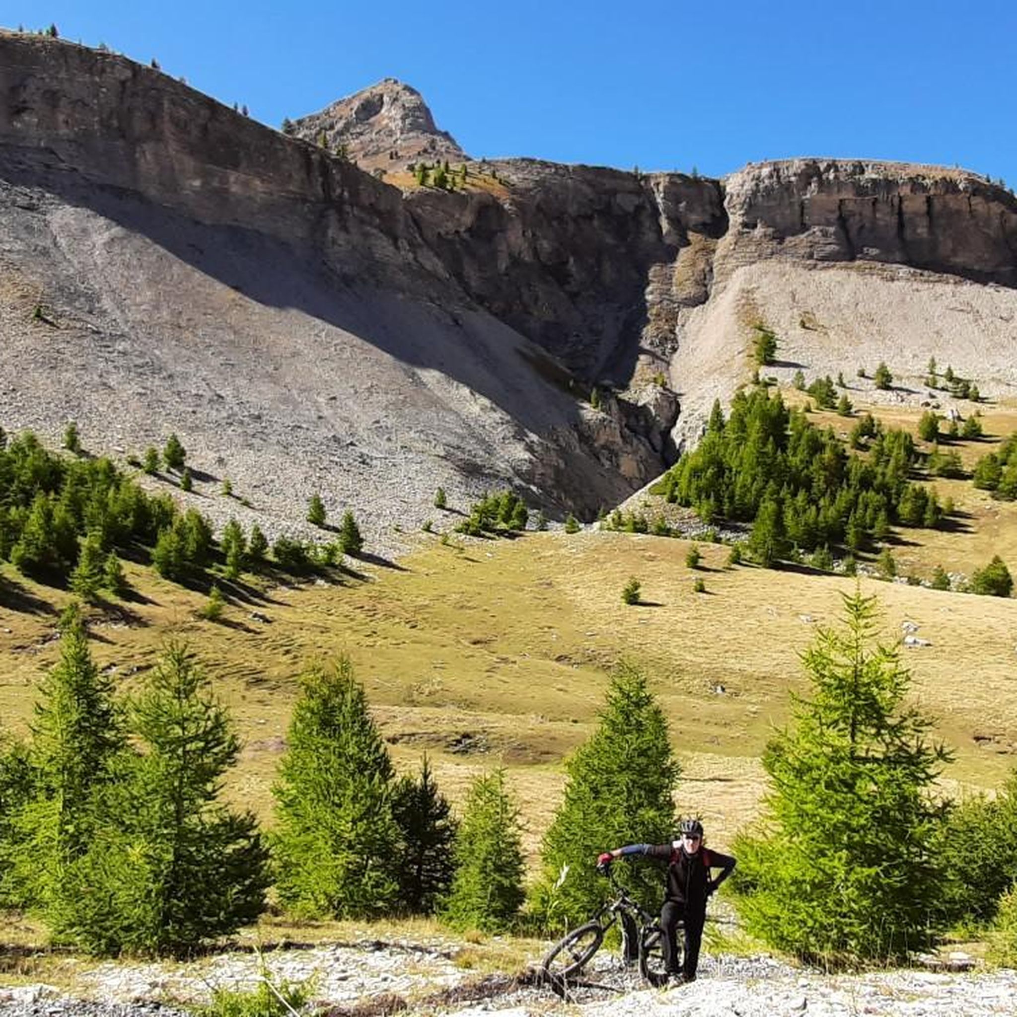
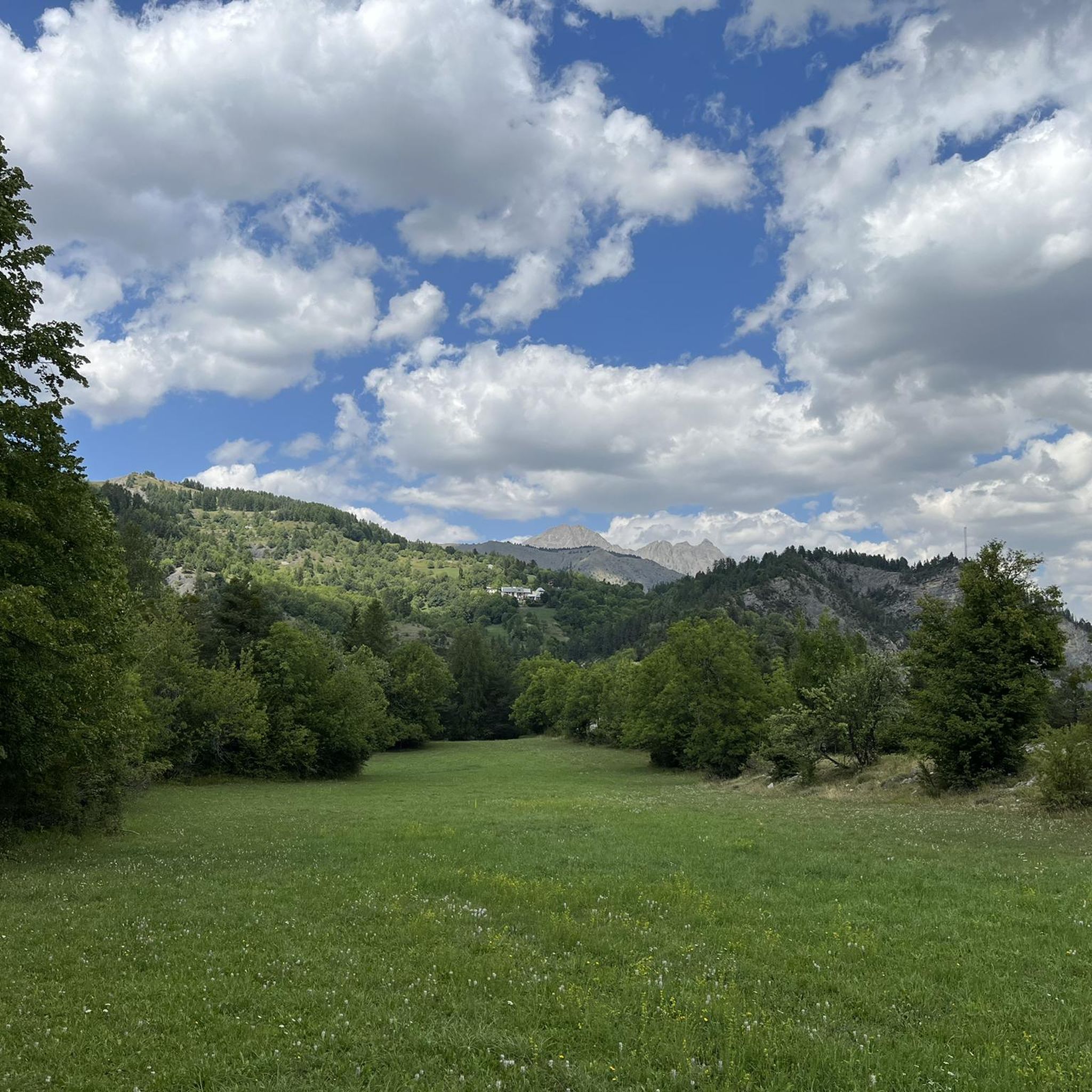
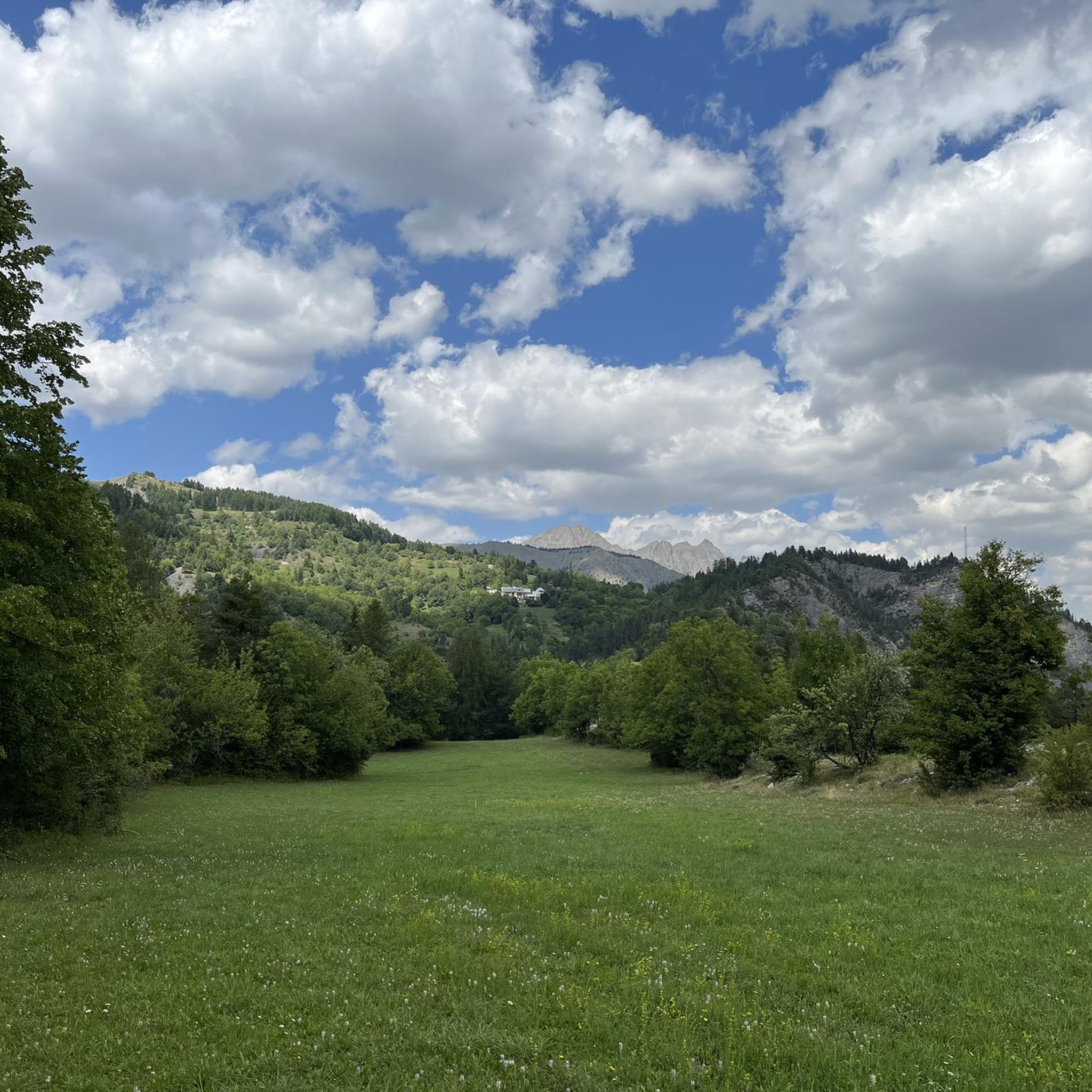
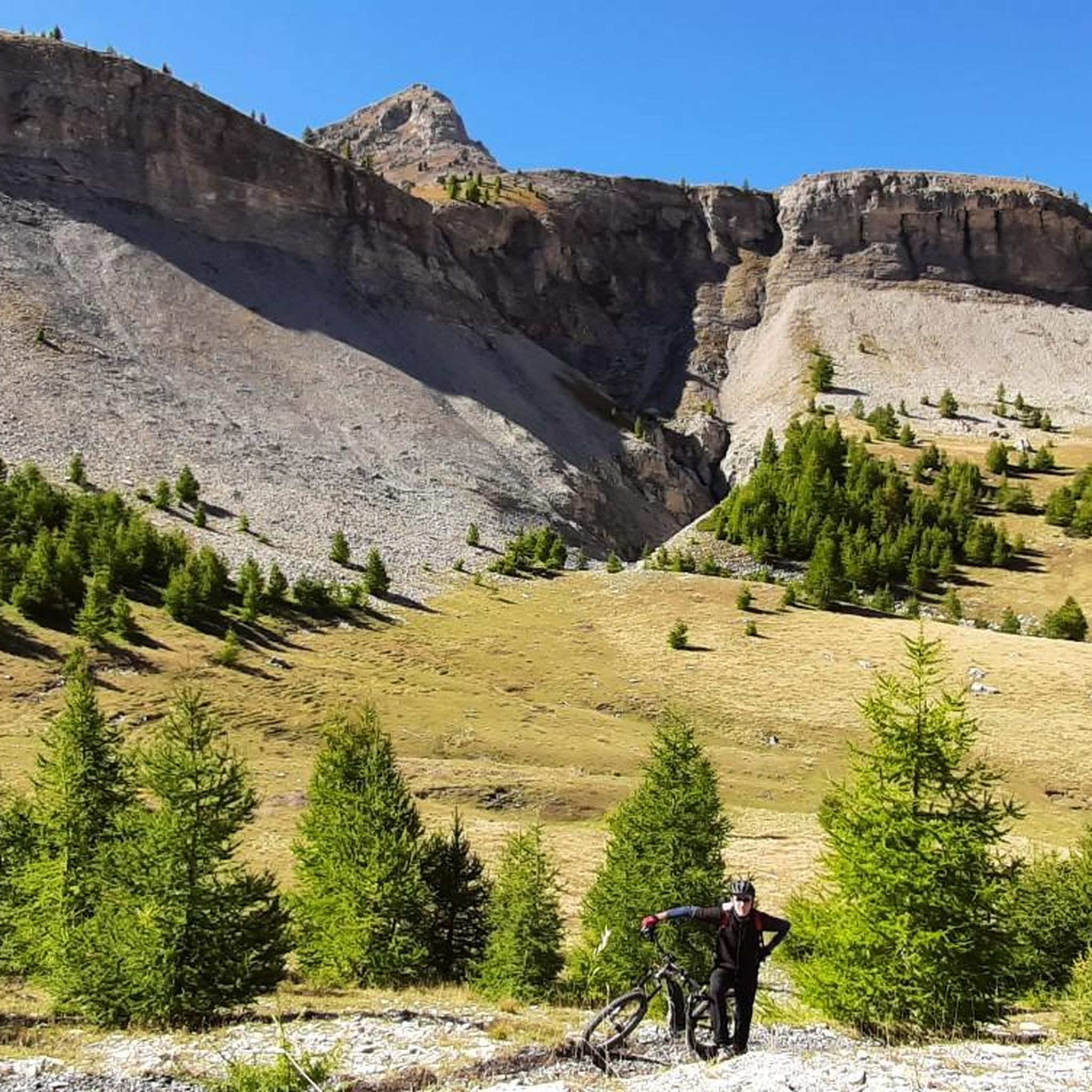
The Col de Sainte-Anne is a pass at an altitude of 425 meters in the French department of Bouches-du-Rhône.
0
1
The Col de la Couillole is a mountain pass in the Massif du Mercantour-Argentera of the French Alps, situated at an altitude of 1,678 m (5,505 ft) in the Alpes-Maritimes department, France. The road connection is open for six to seven months of the year, allowing travel between the Cians gorges in the west and the Tinée valley in the east.
0
0
The Col de la Couillole is a mountain pass in the Massif du Mercantour-Argentera of the French Alps, situated at an altitude of 1,678 m (5,505 ft) in the Alpes-Maritimes department, France. The road connection is open for six to seven months of the year, allowing travel between the Cians gorges in the west and the Tinée valley in the east.
0
0

This crossing point is spectacular.
12
0

Tried and tested! There's still a long way to go to the top of the pass, so don't forget to stay hydrated.
0
1
Drinking water (tested and approved)!!
0
0


Very welcome drinking water fountain after the strenuous Col de Valberg
0
0
Frequently Asked Questions
What is the overall difficulty level of road cycling routes around Villeneuve-D'Entraunes?
The road cycling routes in this region are primarily geared towards experienced cyclists. There are 6 moderate routes and 15 difficult routes available, with no easy options. The terrain features significant elevation changes, including challenging mountain passes and descents through deep gorges.
What are some of the longer road cycling routes in the Villeneuve-D'Entraunes area?
For those seeking longer distances, the Cayolle Pass – Champs Pass loop from Saint-Martin-d'Entraunes covers approximately 112.4 km (69.8 miles) with substantial elevation gain. Another excellent long-distance option is the Red Gorges Discovery Trail, which is about 81.2 km (50.5 miles) long.
What is the typical duration for road cycling routes in Villeneuve-D'Entraunes?
Route durations vary significantly based on distance and elevation. For example, the Red Gorges Discovery Trail typically takes around 4 hours 31 minutes, while the longer Cayolle Pass – Champs Pass loop can take over 7 hours. Shorter, moderate routes like the Col de Valberg loop from Guillaumes can be completed in under 2 hours.
Are there any family-friendly road cycling routes suitable for beginners in Villeneuve-D'Entraunes?
Given the region's challenging mountainous terrain, most road cycling routes around Villeneuve-D'Entraunes are classified as moderate to difficult. There are no routes specifically designated as 'easy' or ideal for beginners or young families looking for a gentle ride. Cyclists should be prepared for significant climbs and descents.
What is the best time of year for road cycling in Villeneuve-D'Entraunes?
The best time for road cycling in Villeneuve-D'Entraunes is generally from late spring to early autumn (May to October). During these months, the weather is typically more stable, and mountain passes are clear of snow. Summer offers warmer temperatures, but it's advisable to start early to avoid the midday heat on longer climbs.
What kind of scenic viewpoints can I expect along the road cycling routes?
The region is renowned for its dramatic landscapes. You can expect breathtaking views from high mountain passes like Champs Pass, and stunning vistas into deep river gorges such as the Gorges de Daluis. Many routes offer panoramic views of the French Pre-Alps.
Are there any notable landmarks or natural attractions to see while road cycling?
Absolutely. Cyclists can encounter several natural wonders. The Red Gorges Discovery Trail, for instance, explores striking red rock formations. Other highlights include the impressive Bride's Bridge and the unique Péone Rock Formations. The region is rich in geological interest.
What do other road cyclists enjoy most about road cycling in Villeneuve-D'Entraunes?
The area is highly rated by the komoot community, with an average score of 4.9 stars from over 40 reviews. Reviewers often praise the challenging mountain passes, the dramatic scenery of the deep river gorges, and the rewarding descents through varied alpine terrain. The sense of accomplishment after conquering a major climb is a common highlight.
Are there any circular road cycling routes available?
Yes, many of the routes are designed as loops, allowing you to start and finish in the same location. Examples include the challenging Cayolle Pass – Champs Pass loop from Saint-Martin-d'Entraunes and the Col de Valberg loop from Guillaumes. These loops offer a comprehensive experience of the region's diverse landscapes.
How many road cycling routes are available in the Villeneuve-D'Entraunes area?
There are over 20 road cycling routes available around Villeneuve-D'Entraunes, offering a variety of options for cyclists seeking challenging and scenic rides through the French Pre-Alps.
Is public transport an option for accessing road cycling routes in Villeneuve-D'Entraunes?
Public transport options directly to the starting points of specific road cycling routes in this mountainous region can be limited. It's generally recommended to travel by car to access the main villages and starting points, where you can then begin your ride. Some local bus services might connect larger towns, but their schedules and capacity for bikes may vary.
Where can I find parking for road cycling routes in Villeneuve-D'Entraunes?
While specific parking areas for each route are not detailed, you can typically find parking in the main villages and towns that serve as starting points for these routes, such as Villeneuve-d'Entraunes, Saint-Martin-d'Entraunes, or Guillaumes. Look for public parking lots within these communities.
Most popular attractions around Villeneuve-D'Entraunes

Get inspired with the komoot mobile app


Explore more
Browse the best Road cycling routes in other regions.
