The best mountain hikes in Bezirk Hartberg-Fürstenfeld
4.8
(6)
186
hikers
17
hikes
Mountaineering routes in Bezirk Hartberg-Fürstenfeld, located in Styria, Austria, traverse a landscape characterized by rolling hills, expansive forests, and scenic mountain views. The region features a varied topography, including the Pöllauer Tal Nature Park and the Hartberger Gmoos wetland. While not high-alpine, the area offers challenging mountain routes with notable peaks such as Hochwechsel, standing at 1,743 meters. The network provides diverse terrain for mountaineering, from moderate ascents to more demanding, longer routes.
Best mountaineering routes in Bezirk Hartberg-Fürstenfeld
- The…
Last updated: August 25, 2026
16
hikers
Moderate mountaineering route. Good fitness required. Mostly accessible paths. Sure-footedness required.
4.0
(1)
10
hikers
Moderate mountaineering route. Good fitness required. Mostly accessible paths. Sure-footedness required.

Sign up for free
10
hikers
22.4km
07:02
870m
870m
Hard mountaineering route. Very good fitness required. Easily-accessible paths. Suitable for all skill levels.
5.0
(1)
8
hikers
Moderate mountaineering route. Good fitness required. Easily-accessible paths. Suitable for all skill levels.
7
hikers
17.8km
05:24
590m
590m
Hard mountaineering route. Very good fitness required. Easily-accessible paths. Suitable for all skill levels.
5.0
(1)
8
hikers
Hard mountaineering route. Very good fitness required. Easily-accessible paths. Suitable for all skill levels.
5
hikers
10.5km
03:16
320m
320m
Moderate mountaineering route. Good fitness required. Mostly accessible paths. Sure-footedness required.
2
hikers
13.2km
04:17
420m
420m
Hard mountaineering route. Good fitness required. Sure-footedness, sturdy shoes and alpine experience required.
2
hikers
10.3km
04:26
780m
780m
Moderate mountaineering route. Good fitness required. Mostly accessible paths. Sure-footedness required.
5.0
(1)
3
hikers
19.7km
07:15
1,010m
1,010m
Hard mountaineering route. Very good fitness required. Mostly accessible paths. Sure-footedness required.
Get access to more routes and recommendations from other explorers.
Sign up for free
Already have an account?
Our route recommendations are based on thousands of hikes, rides, and runs completed by other people on komoot.
Start today with a free account
Your next adventure awaits.
Login or Signup
Popular around Bezirk Hartberg-Fürstenfeld
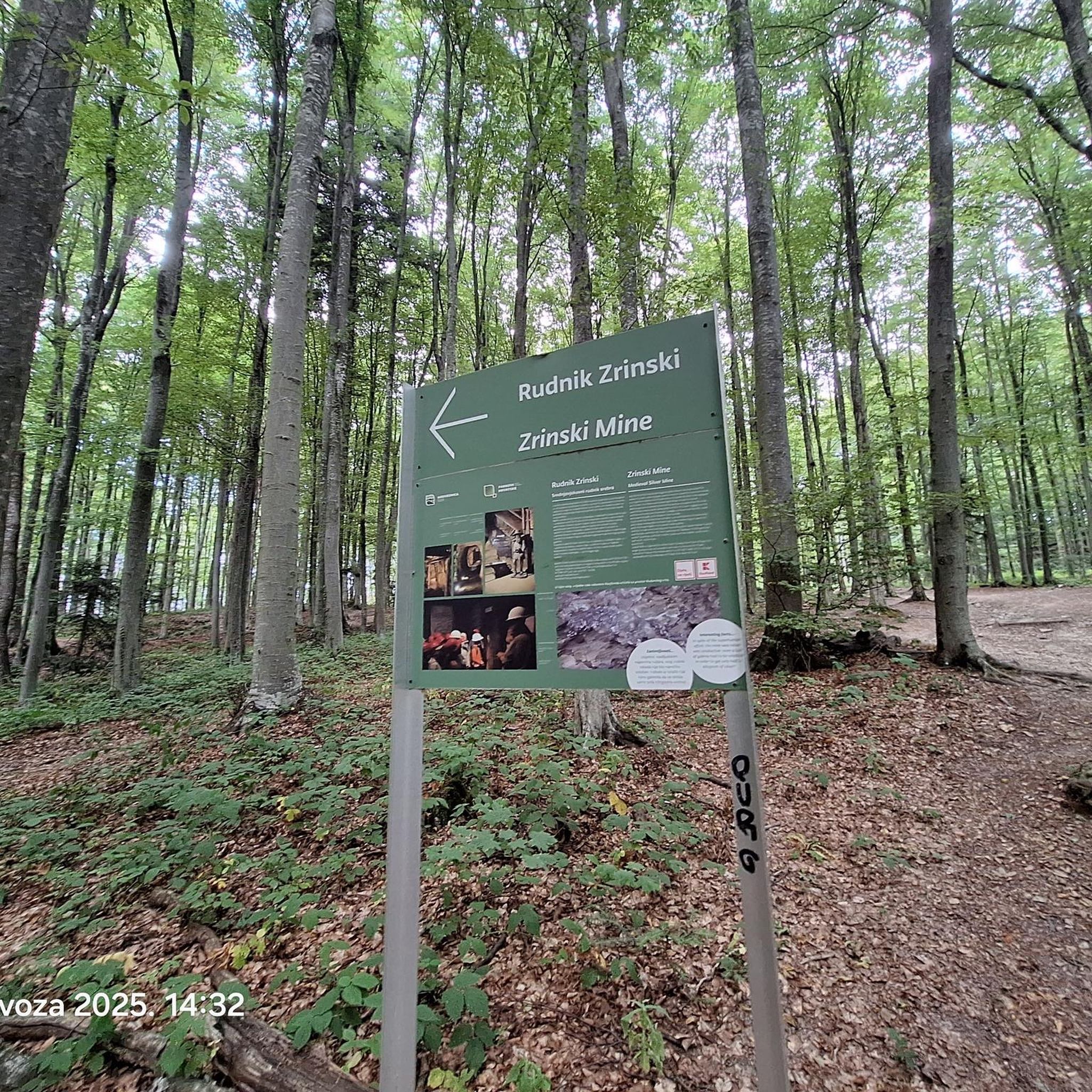
Mountain Hikes around Waldbach-Mönichwald
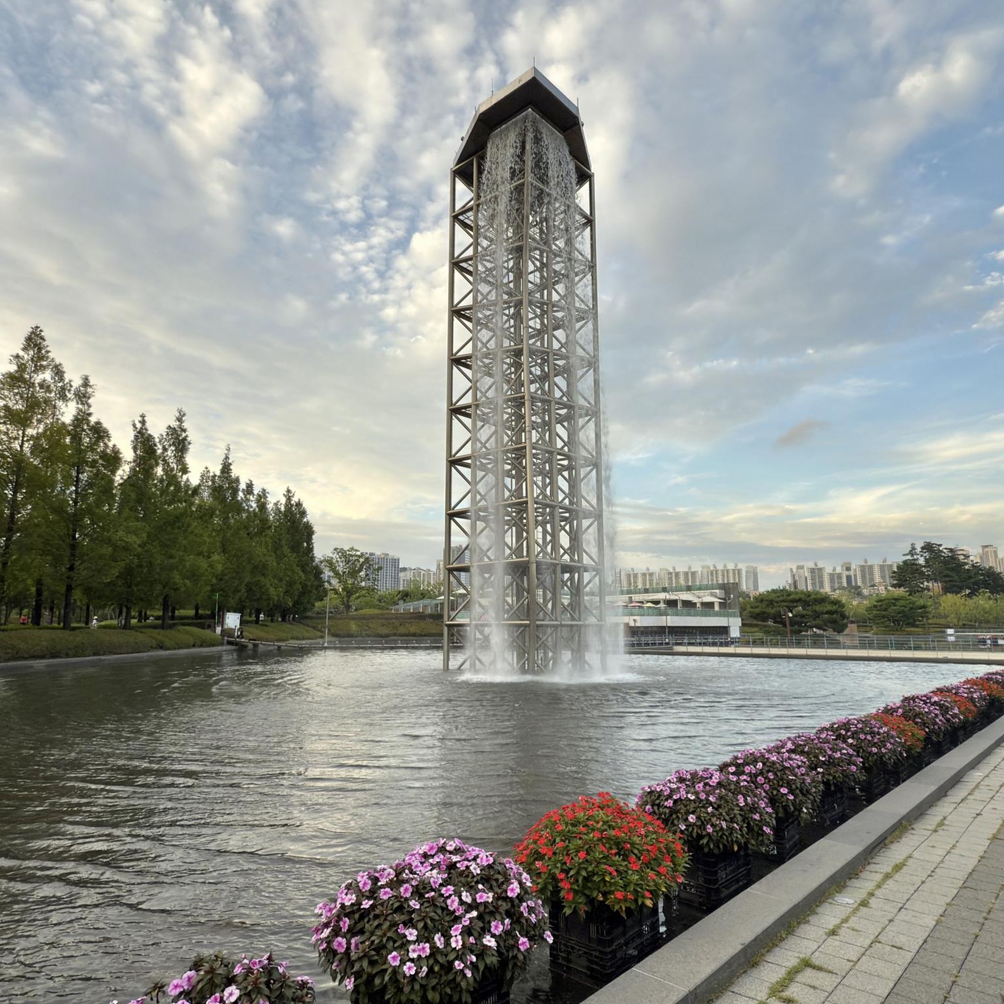
Mountain Hikes around St. Lorenzen
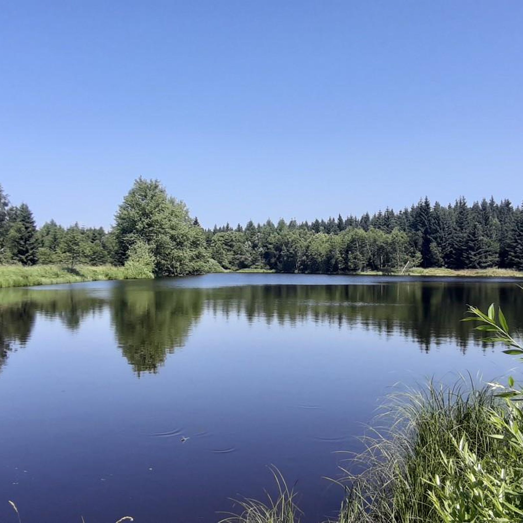
Mountain Hikes around St Jakob im Walde
Mountain Hikes around Friedberg
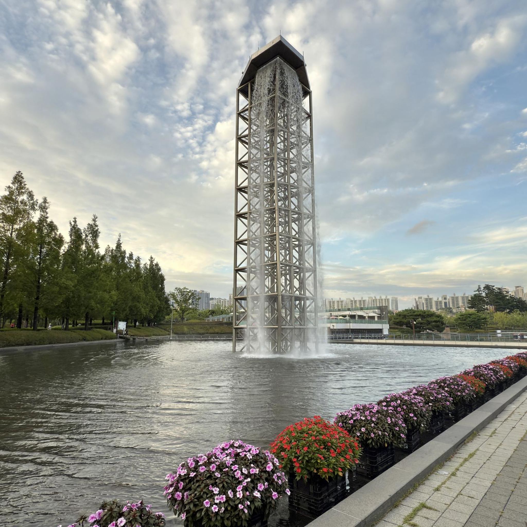
Mountain Hikes around Pinggau
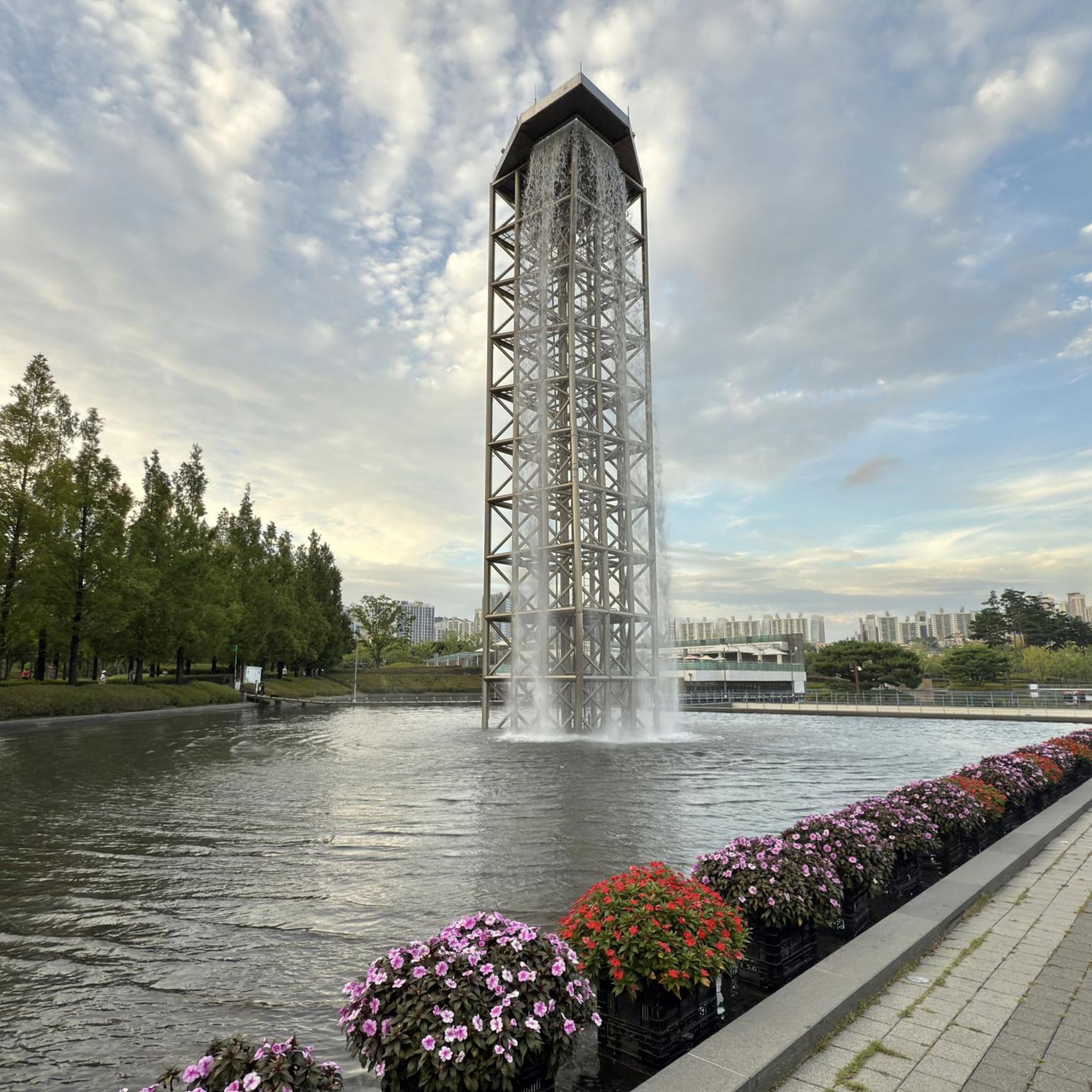
Mountain Hikes around Dechantskirchen

Mountain Hikes in Pöllauer Valley
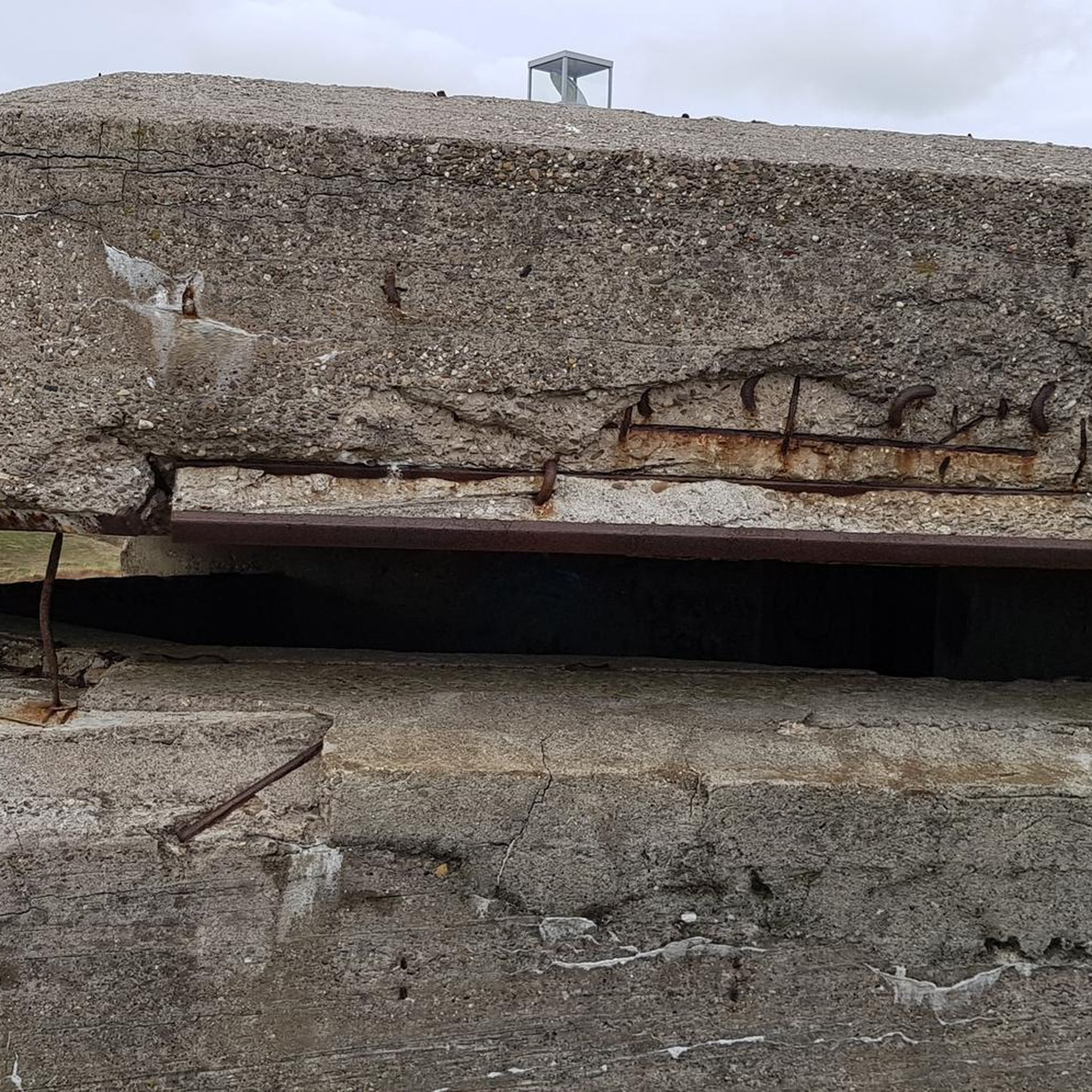
Mountain Hikes around Pöllau

Central Alps Trail Eastern Section – Discover Austria
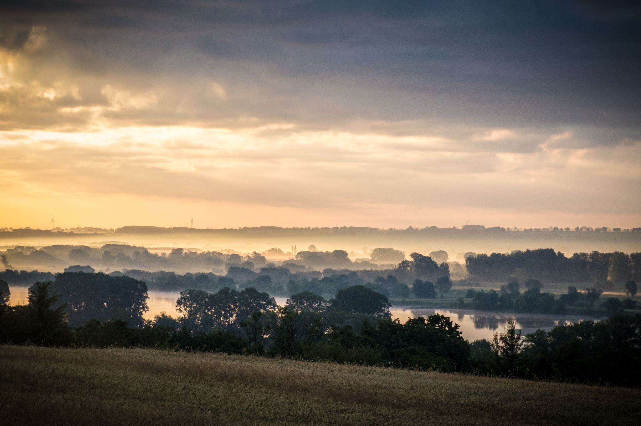
EuroVelo 9 – The Amber Route from the Baltic to Adriatic Sea
Other adventures in Bezirk Hartberg-Fürstenfeld


Tips from the Community

The Hallerhaus is a cozy mountain hut on the Wechsel and a popular resting point for hikers. The hut is located in the middle of the quiet forest and alpine landscape and is ideally suited for a stop during a tour over the Niederwechsel. A beautiful place to take a break and enjoy the typical landscape of the Wechsel region.
4
0
The Stoa Alm is a rustic alpine pasture on the Niederwechsel and a beautiful resting point along the hiking route. Surrounded by meadows and the gentle mountain landscape of the Wechsel region, it offers a pleasant opportunity for a break. The quiet, original atmosphere away from the more frequented paths is particularly charming.
4
0
The Festenburg summit is located on the Niederwechsel and is a rather inconspicuous, natural point along the ridge. Instead of a distinct summit structure, forest and the gentle landscape of the Wechselland characterize this section. A quiet waypoint away from the more prominent peaks – typical for the elongated ridges of the Wechsel Mountains.
3
0
The Umschussriegel is a largely open summit plateau at an altitude of 1,720 meters in the Wechsel area, located just below the Hochwechsel. From the open plateau, there is a wide panoramic view of the Wechsel area and the surrounding mountains in clear weather. Together with Schöberlriegel and Hochwechsel, it forms a particularly beautiful section of the scenic ridge hike across the Wechselkamm.
3
0
The border stone on the Grünberg marks a transition between Lower Austria and Styria. It lies directly on the state border and is a small, but interesting landmark along the hiking route. An inconspicuous detail on the path that makes it visible that you are switching from one federal state to another here.
3
0
The Wetterkoglerhaus is located directly on the summit of the Hochwechsel at 1,743 meters and is a hut of the Austrian Alpine Club. With good visibility, the hut offers a magnificent panorama over the Wechsel region to Schneeberg, Rax, and Hochschwab. Due to its immediate proximity to the summit cross and chapel, the Wetterkoglerhaus is an ideal resting and refreshment stop at the highest point of the tour.
4
0
The Dreiländereck lies in a saddle between Arabichl and Umschußriegel and is an important junction in the Wechsel area. Contrary to what the name suggests, three federal states do not meet here; the designation apparently dates back to the confluence of three property boundaries. From here, paths branch off in the direction of Hochwechsel, Marienseer Schwaig, Kranichberger Schwaig, and Steyersberger Schwaig, among others.
2
0
The Sattelkreuz stands at an old crossroads not far from the Feistritzsattel and is a striking landmark along the hiking route. On the cross, there is an inscription about hope and confidence, which lends the quiet place a special atmosphere. Historical hiking descriptions already mention the Sattelkreuz as an important junction of several paths in the Wechsel area.
3
0
Frequently Asked Questions
How many mountaineering routes are available in Bezirk Hartberg-Fürstenfeld?
Bezirk Hartberg-Fürstenfeld offers a diverse network of nearly 20 mountaineering routes. These range from moderate ascents to more challenging, longer routes, providing options for various skill levels.
Are there any easy mountaineering routes suitable for beginners?
While most routes are moderate to difficult, there is at least one easy mountaineering route available. The region's rolling hills and forests provide a good environment for those new to mountain hiking, allowing for a gentle introduction to elevated terrain.
What are some challenging mountaineering routes for experienced hikers?
For experienced mountaineers seeking a challenge, routes like the Hallerhaus Mountain Lodge – Vorauer Schwaig Alm loop from Mönichkirchen offer significant elevation gain over 22.6 km. Another demanding option is the Wetterkogler House – Hochwechsel loop from Feistritzsattel, covering nearly 18 km with considerable ascent.
Are there any circular mountaineering routes in the area?
Yes, many mountaineering routes in Bezirk Hartberg-Fürstenfeld are designed as circular tours. For example, the Trail Sign at Hochwechsel – Hochwechsel Trail Sign loop from Waldbach-Mönichwald is a popular circular option. Another scenic loop is the Lake Stubenberg – Lake Stubenberg loop from Stubenberg, which offers beautiful views around the lake.
What kind of views and natural features can I expect on these routes?
The routes traverse a picturesque landscape of rolling hills, lush forests, and scenic mountain views. You can expect to encounter diverse topography, including the unique cultivated landscapes of the Pöllauer Tal Nature Park and the Hartberger Gmoos wetland. Notable peaks like Wullmenstein and Hochwechsel offer panoramic vistas.
Are there any routes that pass by interesting landmarks or attractions?
Yes, several routes offer opportunities to see interesting landmarks. For instance, you might encounter historical sites like Alt Schielleiten Castle Ruins or the impressive Stubenberg Castle. Some trails also lead past charming mountain huts such as the Hallerhaus Mountain Lodge or the Wetterkogler House, perfect for a break.
Can I find routes with cafes or places to stop for refreshments?
Many routes in the region pass by or are near mountain lodges and huts where you can stop for refreshments. The Wiener Alpen Viewpoint – Hallerhaus Mountain Lodge loop from Mönichkirchen, for example, includes the Hallerhaus Mountain Lodge, which is a great spot to refuel. The area also has various local eateries in villages along the trails.
What is the best season for mountaineering in Bezirk Hartberg-Fürstenfeld?
The diverse landscape of Bezirk Hartberg-Fürstenfeld makes it suitable for mountaineering across multiple seasons. Spring and autumn offer pleasant temperatures and vibrant scenery, while summer provides longer daylight hours. Even in winter, some trails are accessible, though conditions can vary, especially at higher elevations like Hochwechsel.
Are there any routes that lead to prominent summits or viewpoints?
Absolutely. The region is known for accessible summits offering great views. You can reach the Hochwechsel summit via routes like the Hochwechsel – Marienseer Schwaig loop from Katastralgemeinde Neustift am Alpenwald. The Hoher Zetz Summit loop from Anger also provides rewarding panoramic vistas.
What do other mountaineers say about the routes in Bezirk Hartberg-Fürstenfeld?
The mountaineering routes in Bezirk Hartberg-Fürstenfeld are highly regarded by the komoot community, boasting an average rating of 4.8 stars. Users frequently praise the varied terrain, the well-marked paths, and the beautiful blend of forests and open areas that define the region's trails.
Are there any routes that feature water bodies like lakes or waterfalls?
Yes, the region offers routes that include beautiful water features. The Lake Stubenberg loop is a great option for enjoying the warm bathing lake. Additionally, the picturesque Romai Waterfall is a natural highlight that can be visited year-round, and the Feistritz River offers wild, untouched nature along its banks.
Are there any hidden gems or less-traveled routes for a unique experience?
While specific 'hidden gems' are often discovered through local exploration, the region's extensive network means many trails offer a sense of tranquility away from the busiest spots. Exploring areas within the Pöllauer Tal Nature Park or along the Feistritz River can lead to quieter, more intimate experiences with nature.
What is the typical duration for a mountaineering route in this region?
The duration of mountaineering routes varies significantly based on difficulty and distance. Moderate routes, such as the Hochwechsel Summit – Chapel on Hochwechsel loop (11.3 km), typically take around 4.5 hours. More difficult and longer routes, like the Großer Pfaff summit – Kleiner Pfaff Summit loop from Feistritzsattel (13.2 km), can take over 4 hours, depending on your pace and breaks.
Most popular routes in Bezirk Hartberg-Fürstenfeld
Most popular attractions in Bezirk Hartberg-Fürstenfeld

Get inspired with the komoot mobile app


Didn’t find what you were looking for?
Check out more Mountain Hikes & Routes throughout Bezirk Hartberg-Fürstenfeld below and find the perfect route in your destination.
Explore more
Browse the best Mountain Hikes & Routes in other regions.
