The best walks and hikes around Laboutarie
4.8
(40)
283
hikers
10
hikes
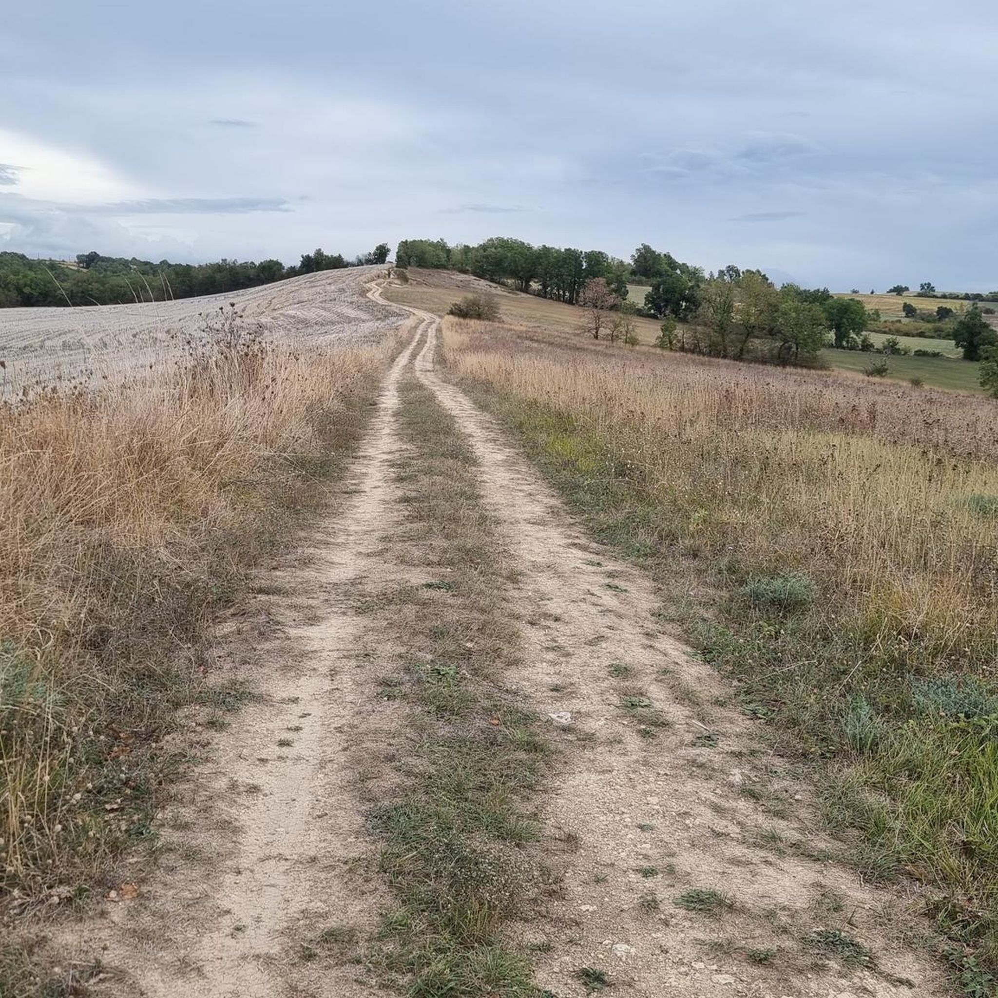
Hiking around Laboutarie offers diverse landscapes in the Centre Tarn region of France, characterized by its argilo-calcaire terrain and gently undulating countryside. The area features rolling hills, agricultural beauty, and natural water features like the river Assou. This environment provides varied opportunities for exploration, from historical trails to paths through what is known as the "Toscane Lautrecoise."
Best hiking trails around Laboutarie
- The most popular hiking route is Orientierungslos mal anders – Lautrec loop from Lautrec, a 8.4 miles…
Last updated: June 26, 2026
5.0
(7)
56
hikers
6.15km
01:47
160m
160m
Easy hike. Great for any fitness level. Easily-accessible paths. Suitable for all skill levels.
4.9
(8)
50
hikers
6.99km
02:01
180m
180m
Moderate hike. Good fitness required. Easily-accessible paths. Suitable for all skill levels.

Sign up for free
4.5
(4)
22
hikers
13.6km
03:42
190m
190m
Moderate hike. Good fitness required. Easily-accessible paths. Suitable for all skill levels.
4.5
(2)
7
hikers
6.87km
01:58
170m
170m
Easy hike. Great for any fitness level. Easily-accessible paths. Suitable for all skill levels.
5.0
(1)
4
hikers
15.0km
03:57
130m
130m
Moderate hike. Good fitness required. Easily-accessible paths. Suitable for all skill levels.
Get access to more routes and recommendations from other explorers.
Sign up for free
Already have an account?
Our route recommendations are based on thousands of hikes, rides, and runs completed by other people on komoot.
Start today with a free account
Your next adventure awaits.
Login or Signup



Tips from the Community

Loving work, never seen before
0
0

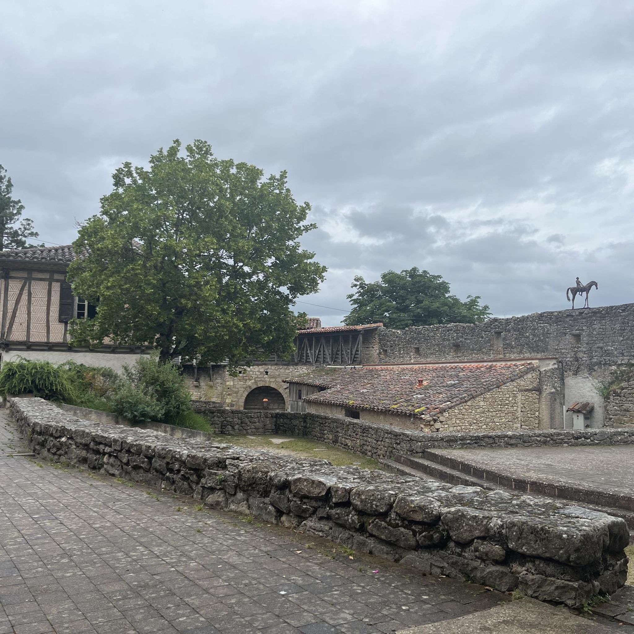
In the heart of the Fête de l'Ail Rose, medieval town known for its mill and its narrow streets. The Cafe Plum in the center of the village offers local cuisine in an artistic setting.
1
0

The suspended footbridge allows you to step over the Dadou as much as possible by bike, thus cutting the city north / south by this route for example. It allows you to join the green lane (no asphalt) from here to the gaillac road on the right bank.
0
0

A nice viewpoint with a beautiful view of the village and the surroundings, with a pretty adjoining botanical garden, ideal for a break (without forgetting the excellent Marti bakery or PLUM cafe below)
0
0
Frequently Asked Questions
How many hiking trails are available around Laboutarie?
There are over 10 hiking trails around Laboutarie, offering a variety of experiences for different skill levels. These routes are highly rated by the komoot community, with an average score of 4.7 stars.
Are there easy hiking routes suitable for beginners or families?
Yes, Laboutarie offers several easy hiking routes perfect for beginners or families. For example, the Lautrec – Orientierungslos mal anders loop from Lautrec is an easy 6.1 km path that winds through gently undulating countryside. Another great option is the Bakery loop from Lautrec, which is 6.9 km long and also considered easy.
What kind of landscapes can I expect to see while hiking in Laboutarie?
Laboutarie's landscape is characterized by its distinctive argilo-calcaire (clay-limestone) terrain, which creates unique white lands, particularly along routes like the historic Chemin des Terres Blanches. You'll also encounter gently undulating countryside, rolling hills, and agricultural vistas, especially in areas known as the 'Toscane Lautrecoise' with its famous pink garlic fields. Many trails also feature natural water crossings, such as the river Assou.
Are there any circular walks in the Laboutarie area?
Yes, many of the trails around Laboutarie are designed as circular loops, making them convenient for hikers. Examples include the Orientierungslos mal anders – Lautrec loop from Lautrec and the Lautrec – Bakery loop from Lautrec. The Boucles de l'Assou also offer flexible circular options.
What are some interesting historical or natural attractions to see along the trails?
The trails around Laboutarie offer glimpses into the region's history and natural beauty. You can discover old mills like Racco and Vitrac along the Agros stream on the Boucle des Archéologues, or observe the pyramidal pigeonnier of Saint-Sernin. The historic Chemin des Terres Blanches reveals past village life. For specific points of interest, consider visiting View of Lautrec or exploring the town of Lautrec itself.
What is the best time of year to go hiking in Laboutarie?
The gently undulating countryside and varied terrain of Laboutarie make it suitable for hiking across multiple seasons. Spring and autumn offer pleasant temperatures and vibrant landscapes, with spring bringing blooming flora and autumn showcasing rich colors. Summer can also be enjoyable, especially for morning walks, while winter hikes are possible, though conditions may vary.
Are there any dog-friendly hiking options in Laboutarie?
While specific regulations for dogs on every trail can vary, the natural, open landscapes and agricultural paths around Laboutarie generally welcome well-behaved dogs on a leash. Many of the region's trails, like those through the rolling countryside, are suitable for walks with your canine companion. Always ensure to respect local signage and clean up after your pet.
What are the typical durations for hikes in Laboutarie?
Hikes in Laboutarie vary in length and duration. Easy routes, such as the 6.1 km Lautrec – Orientierungslos mal anders loop from Lautrec, can take around 1.5 to 2 hours. Longer, moderate trails like the 13.6 km Orientierungslos mal anders – Lautrec loop from Lautrec might take closer to 3.5 to 4 hours to complete.
Is there parking available near the hiking trailheads?
Yes, Laboutarie and its surrounding villages, such as Lautrec, typically offer parking facilities that provide convenient access to the various hiking trailheads. Many routes start from central points in these villages, where parking is usually available.
Can I access Laboutarie's hiking trails using public transport?
While Laboutarie is a rural area, some regional public transport options might connect to nearby towns like Lautrec, which serve as starting points for several trails. It is advisable to check local bus schedules and routes from larger hubs in the Tarn department for the most up-to-date information on public transport access to the trailheads.
What makes the 'Chemin des Terres Blanches' trail unique?
The 'Chemin des Terres Blanches' (Path of White Lands) is unique due to its distinctive argilo-calcaire soil, which gives the landscape its name. This 7.5 km loop is historically significant, having served as an important route before modern roads. It offers an easy 2-hour walk and provides insights into Laboutarie's past prosperity, with remnants of former hotels, cafes, and a blacksmith.
Are there any challenging hikes for experienced hikers?
While Laboutarie is known for its accessible and moderate trails, offering a maximum difficulty of 'moderate' according to komoot data, experienced hikers can find longer routes that provide a good workout. For instance, the 13.6 km Orientierungslos mal anders – Lautrec loop from Lautrec offers a moderate challenge with nearly 200 meters of elevation gain, traversing the region's characteristic rolling hills.
Most popular routes around Laboutarie
Most popular attractions around Laboutarie

Get inspired with the komoot mobile app


Explore more
Browse the best Hikes in other regions.
