The best road cycling routes around Rimplas
4.2
(74)
4,358
riders
35
rides
Road cycling routes around Rimplas are characterized by challenging terrain and significant elevation changes within the scenic Provence-Alpes-Côte d'Azur region of France. The area features demanding climbs and dramatic mountain scenery, offering a rigorous test of endurance for cyclists. Rimplas is situated near Mercantour National Park, providing a backdrop of diverse ecosystems and alpine landscapes. The general topography, with its substantial elevation gains, makes it suitable for various mountain sports.
Best road cycling routes around Rimplas
- The most popular road…
Last updated: October 3, 2026
4.0
(2)
181
riders
69.0km
04:37
2,310m
2,310m
Hard road ride. Very good fitness required. Mostly well-paved surfaces and easy to ride.
4.6
(23)
965
riders
117km
06:35
2,600m
2,600m
Hard road ride. Very good fitness required. Mostly well-paved surfaces and easy to ride.

5.0
(2)
128
riders
69.7km
04:16
1,900m
1,900m
Hard road ride. Very good fitness required. Mostly well-paved surfaces and easy to ride.
171
riders
45.4km
02:59
1,430m
1,430m
Hard road ride. Very good fitness required. Mostly well-paved surfaces and easy to ride.
5.0
(1)
106
riders
85.8km
05:14
2,320m
2,320m
Hard road ride. Very good fitness required. Some segments of this route may be unpaved and difficult to ride.
Get access to more routes and recommendations from other explorers.
Already have an account?
Our route recommendations are based on thousands of hikes, rides, and runs completed by other people on komoot.
Start today with a free account
Your next adventure awaits.


Tips from the Community

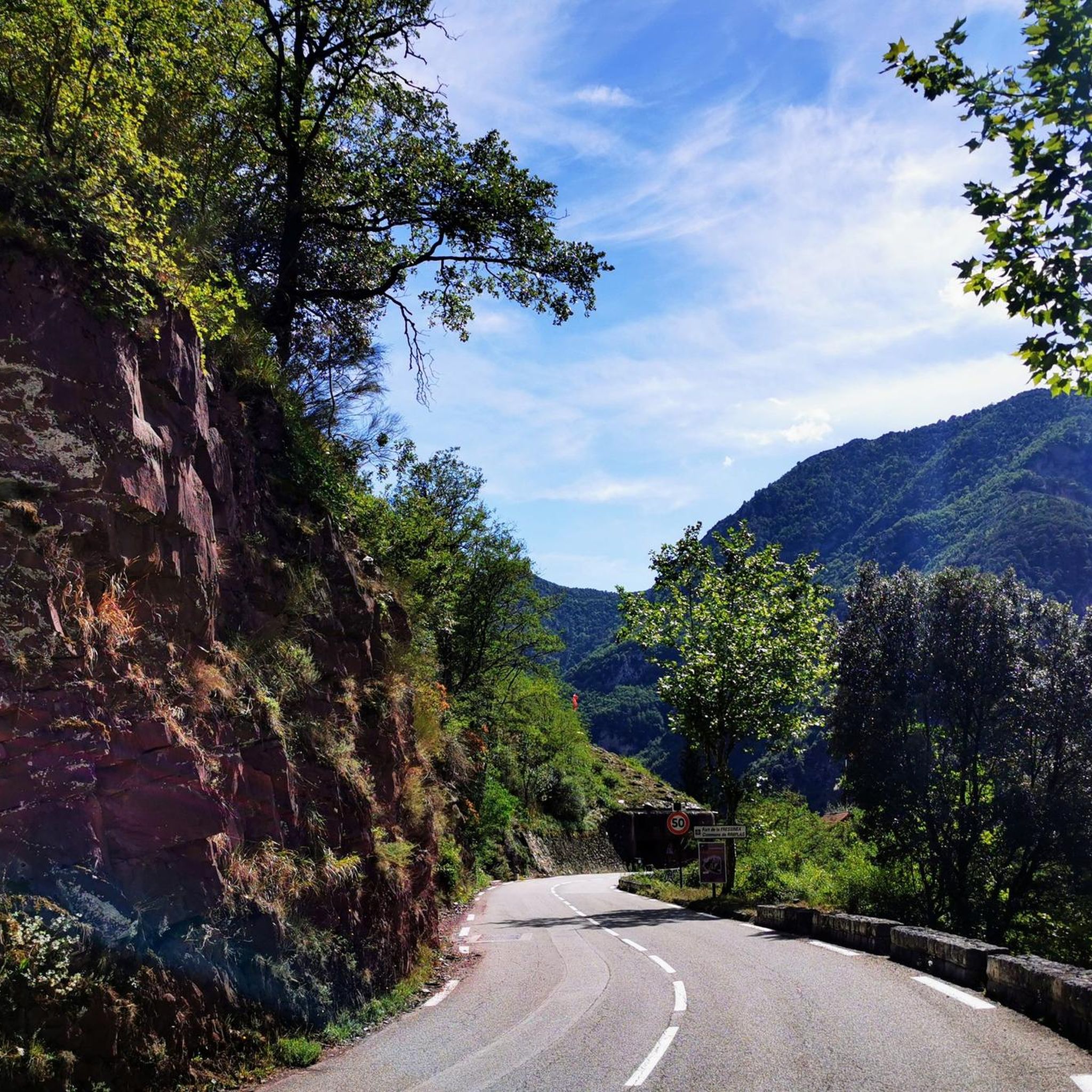
Nice lively town center, with nice opportunities to get a quick bite and take a break.
0
0

Ilonse, village clinging to the mountain
0
0

Please note, I visited on October 12, 2025 and the fountain wasn't working! Perhaps it only works in the summer?
0
0

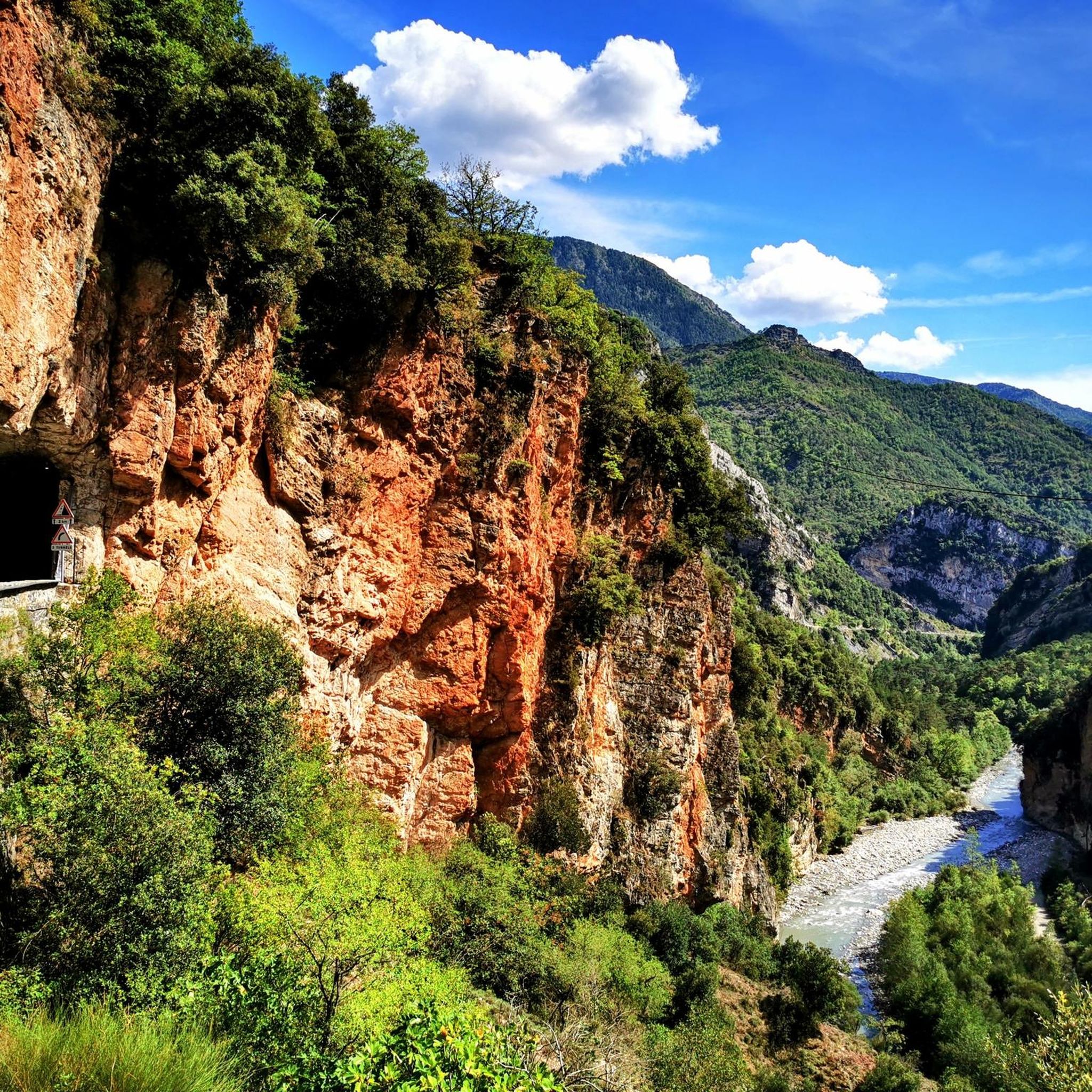
The Col de la Couillole is a mountain pass in the Massif du Mercantour-Argentera of the French Alps, situated at an altitude of 1,678 m (5,505 ft) in the Alpes-Maritimes department, France. The road connection is open for six to seven months of the year, allowing travel between the Cians gorges in the west and the Tinée valley in the east.
0
0
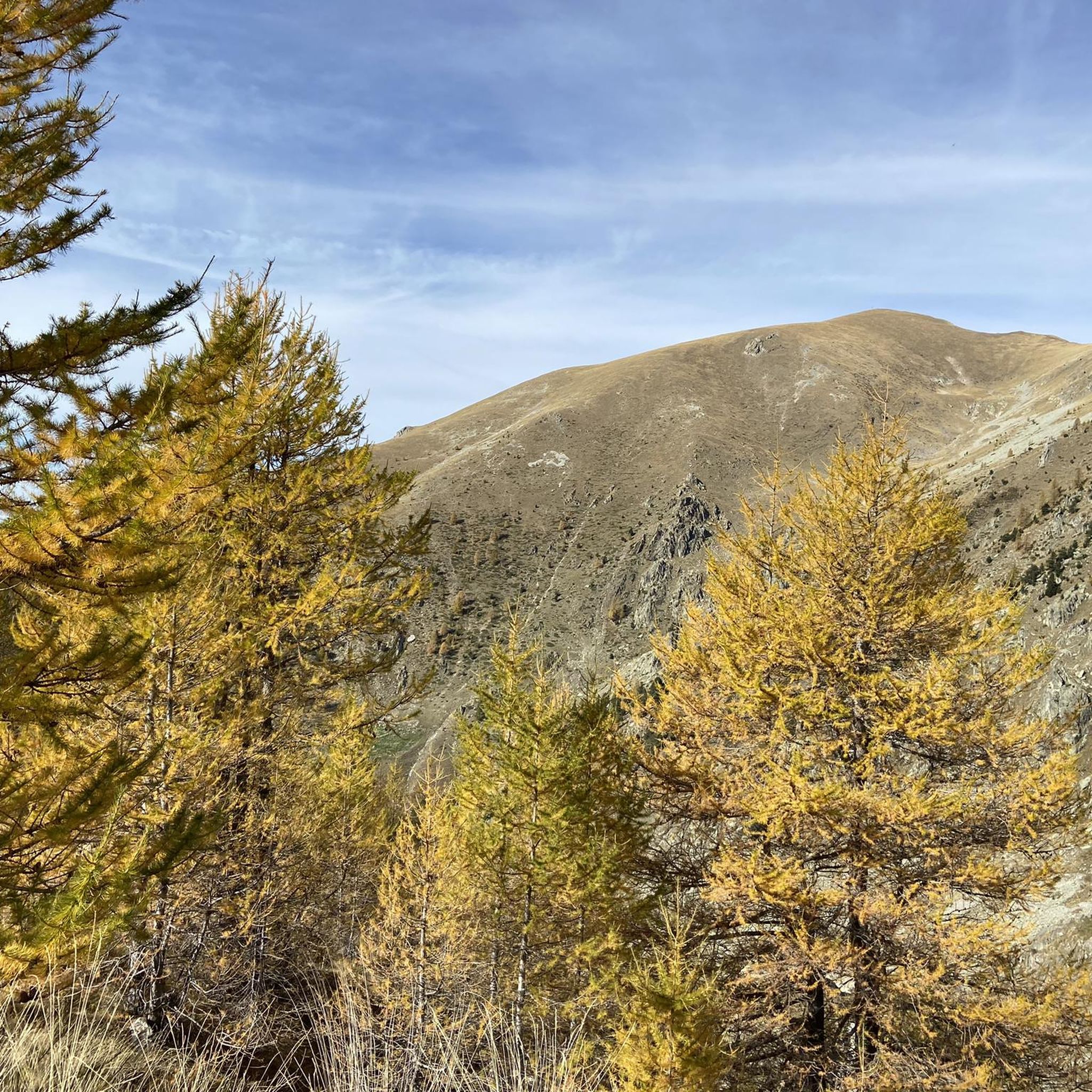
The Col Saint-Martin Pass, or Col de la Colmiane, is a mountain pass in the Southern Alps located at an altitude of 1,500 meters in the Alpes-Maritimes department of France. It provides a year-round road link between the Tinée Valley to the west and the Vésubie Valley to the east.
0
0
The Col Saint-Martin Pass, or Col de la Colmiane, is a mountain pass in the Southern Alps located at an altitude of 1,500 meters in the Alpes-Maritimes department of France. It provides a year-round road link between the Tinée Valley to the west and the Vésubie Valley to the east.
0
0
Col Saint Martin (el. 1500 m.) is a high mountain pass in the Alps in the department of Alpes-Maritimes in France.[1] It is traversed by the D-2205 highway.[2] The place has been crossed at the Tour de France road cycling race in 1973, 1975 and 2020, as well as at multiple editions of the Paris-Nice.
0
0
Col Saint Martin (el. 1500 m.) is a high mountain pass in the Alps in the department of Alpes-Maritimes in France.[1] It is traversed by the D-2205 highway.[2] The place has been crossed at the Tour de France road cycling race in 1973, 1975 and 2020, as well as at multiple editions of the Paris-Nice.
0
0
Frequently Asked Questions
What kind of terrain can I expect when road cycling around Rimplas?
Road cycling around Rimplas is characterized by challenging terrain with significant elevation changes. The region is known for its demanding climbs, such as the Fort de Rimplas Bike Climb and the Col Saint-Martin, offering a rigorous test of endurance amidst dramatic mountain scenery. You'll encounter sections with steep gradients, immersing you in the alpine landscapes of the French Alps.
Are there road cycling routes suitable for beginners in Rimplas?
While Rimplas is known for its challenging climbs, there are a few routes suitable for less experienced road cyclists. The komoot community has identified 2 easy routes, alongside 6 moderate and 26 difficult options, ensuring there's something for various ability levels. It's always recommended to check the route details for elevation and distance before heading out.
What natural features or landmarks can I see while cycling near Rimplas?
Rimplas is situated near the vast Mercantour National Park, offering a backdrop of diverse ecosystems and alpine landscapes. Along your rides, you might encounter stunning mountain passes like Col de la Lombarde or Col de la Couillole. The region also features beautiful lakes such as Lago delle Portette and Lower Valscura Lake, which can be found in the surrounding areas.
What is the best time of year for road cycling in Rimplas?
Given the mountainous terrain and significant elevation, the best time for road cycling in Rimplas is typically from late spring through early autumn. During these months, the weather is generally more stable, and mountain passes are clear of snow, providing optimal conditions for tackling the demanding climbs and enjoying the scenic views.
Are there circular road cycling routes available around Rimplas?
Yes, many of the road cycling routes around Rimplas are designed as loops, allowing you to start and finish in the same location. For example, the Col de la Couillole and Gorges du Cians Loop is a popular circular route, as is the Col de la Couillole (1,678 m) – Col de la Couillole loop from Marie.
What do other road cyclists enjoy the most about road cycling in Rimplas?
The road cycling experience in Rimplas is highly rated by the komoot community, with an average score of 4.4 stars from over 40 reviews. Cyclists frequently praise the challenging climbs, the dramatic mountain scenery, and the sense of achievement after conquering routes with significant elevation gain. The proximity to Mercantour National Park also contributes to the stunning natural backdrop.
Are there any long-distance road cycling routes for experienced riders?
Rimplas is an excellent destination for experienced riders seeking long and challenging routes. Many routes feature substantial distances and elevation gains. For instance, the Saint-Martin Pass (La Colmiane) – Saint-Martin-Vésubie loop from Rimplas covers approximately 43 miles (69.2 km) with significant climbing, offering a demanding ride through the Alpes-Maritimes.
Can I find places to eat or stay near the road cycling routes in Rimplas?
Rimplas is part of the Valdeblore commune, which is a rural area. While specific cafes or pubs might be limited directly on the routes, you can typically find accommodation and dining options in the nearby villages and towns within the Valdeblore area or slightly further afield, especially in Saint-Martin-Vésubie, which offers more amenities for visitors.
Is Rimplas suitable for family-friendly road cycling?
Given the predominantly challenging and mountainous terrain around Rimplas, most road cycling routes are geared towards experienced riders. However, there are a few easier routes available. For family-friendly cycling, it's advisable to carefully review the route profiles for minimal elevation gain and traffic, or consider exploring dedicated cycling paths in flatter, nearby areas if available.
Where can I find parking for road cycling routes in Rimplas?
As Rimplas is a smaller, rural commune, parking availability will vary. You can typically find parking in the village centers or designated areas within the Valdeblore commune. It's recommended to check specific starting points of routes on komoot or local maps for detailed parking information, especially for popular trailheads.
What is the total number of road cycling routes available around Rimplas?
There are over 30 road cycling routes available around Rimplas, with 34 unique tours recorded in the komoot community. This includes a variety of options ranging from easy to very difficult, catering to different skill levels and preferences for distance and elevation.
Are there any routes that offer particularly dramatic views?
Many routes in Rimplas offer dramatic views due to the region's mountainous nature. Climbs like the Fort de Rimplas and Col Saint-Martin provide expansive vistas of the French Alps. The Col de la Lombarde loop from Col de la Lombarde / Colle della Lombarda, for example, immerses cyclists in stunning alpine scenery, making it a great choice for breathtaking panoramas.
Most popular attractions around Rimplas

Get inspired with the komoot mobile app


Explore more
Browse the best Road cycling routes in other regions.
