The best MTB trails in the Apennine Mountains
4.4
(22230)
152,694
riders
22,262
rides
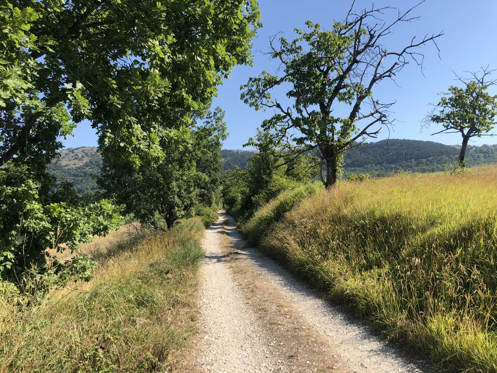
Mountain biking in the Apennine Mountains offers diverse terrain, from rugged peaks and lush forests to rolling hillsides, making it an exceptional destination for outdoor enthusiasts. The region features an extensive network of dirt roads, forest tracks, and purpose-built trails suitable for various skill levels. Riders can explore numerous national parks and protected areas, which safeguard the natural beauty and provide extensive trail systems. The landscape is characterized by significant peaks, deep valleys, and picturesque lakes, offering a scenic backdrop for rides.
Best mountain bike trails in the Apennine Mountains
- The most popular mountain bike trail is Great Alto Bidente Loop, a 28.9 miles (46.5 km) trail that takes 5 hours 11 minutes to complete. This challenging route explores the Foreste Casentinesi National Park, featuring views of Ridracoli Lake.
- Another top favourite among local mountain bikers is Great Sibillini Ring: Lake Fiastra and Fargno Loop, a difficult 25.5 miles (41.1 km) path. This route traverses Monti Sibillini National Park, offering stunning views from Lago di Fiastra.
- Local mountain bikers also love the Alta Via delle Cinque Terre Loop Trail, a 34.3 miles (55.2 km) trail leading through coastal hills with panoramic views of the Ligurian Sea, often completed in about 5 hours 52 minutes.
- Mountain biking in the Apennine Mountains is defined by rugged peaks, dense forests, and ancient roads, with trails leading through charming traditional villages and past historical sites. The network offers options for different ability levels, from gentle uphills to challenging descents.
- The routes in Apennine Mountains are highly rated by the komoot community with an average score of 4.4 stars from over 20,000 reviews. More than 150,000 mountain bikers have used komoot to explore Apennine Mountains's varied terrain.
Last updated: June 23, 2026
4.8
(123)
801
riders
46.5km
05:11
1,610m
1,610m
Embark on the Great Alto Bidente Loop, a challenging mountain biking adventure that takes you deep into the heart of the Foreste Casentinesi, Monte Falterona, and Campigna National Park. This demanding route spans 28.9 miles (46.5 km) and features a significant elevation gain of 5275 feet (1608 metres), promising an immersive ride through varied terrain. You will spend around 5 hours and 10 minutes on the trail, navigating dense woods and enjoying the unique atmosphere of this natural landscape. Look out for the striking fjord-like Ridracoli Lake and its impressive dam as you ride.
Planning your visit requires careful consideration, as this is a difficult mountain biking route best suited for experienced riders. You should have excellent training and good physical preparation to tackle the demanding climbs and thrilling descents. Ensure you are adequately prepared for a long and challenging day on the saddle, bringing enough water and supplies. The trail is designed for those who enjoy a rigorous and rewarding outdoor experience.
This loop offers a deep immersion into a UNESCO World Heritage site, showcasing the unspoiled nature of the region. As you progress, you will discover the beautiful pastures of San Paolo in Alpe, which provide panoramic views of the surrounding landscape. The route winds through the ancient woods of Foresta della Lama, offering a sense of wild solitude. It is a notable trail in the area for its combination of natural beauty and physical challenge.
4.8
(46)
332
riders
41.1km
03:51
1,260m
1,260m
Embark on a difficult mountain biking journey through the Great Sibillini Ring: Lake Fiastra and Fargno Loop, a challenging route that spans 25.5 miles (41.1 km). You will gain an impressive 4148 feet (1264 metres) in elevation, with an estimated duration of 3 hours and 51 minutes. The trail offers spectacular scenery, including panoramic views of Lake Fiastra nestled among the hills, and an unparalleled skyline from Forcella del Fargno towards the dolomitic massif of Monte Bove Nord.
This hard mountain bike ride demands very good fitness and advanced riding skills. You should prepare for varied terrain, which includes asphalt, unpaved sections, and gravel roads, with some rocky parts where you might need to push your bike. The Monti Sibillini National Park is a protected area, so always remember to respect local regulations during your visit.
As you navigate the route, you will experience the wild beauty of the Monti Sibillini National Park. The Forcella del Fargno is known as the highest road pass in the Marche region, offering a truly unique perspective. The Rifugio del Fargno also provides a classic spot to pause, rest, and fully appreciate these expansive views.

Sign up for free
4.6
(47)
226
riders
55.2km
05:52
2,090m
2,090m
Embark on a challenging mountain biking adventure along the Alta Via delle Cinque Terre Loop Trail. This difficult route spans 34.3 miles (55.2 km) and demands a significant 6872 feet (2094 metres) of elevation gain, typically taking around 5 hours and 51 minutes to complete. You will navigate a mix of dirt roads, flowing singletrack, and shaded forest paths, with constant changes in elevation keeping you engaged. As you climb, you will pass through fragrant pine and chestnut forests, eventually reaching panoramic viewpoints like Monte Le Croci, where the famous Cinque Terre villages appear in the distance below. The trail offers a unique perspective of the dramatic Ligurian coastline, showcasing vibrant Mediterranean vegetation throughout your ride.
When planning your visit, be aware that some coastal trails within the national park are restricted for bikes, so always check local regulations before you go. If you encounter hikers on shared sections, remember to yield and reduce your speed to ensure a safe and pleasant experience for everyone. The best time to tackle this route is during clear winter days, as the warmer months can bring intense heat and significantly increased crowds, impacting your enjoyment. Starting early in the morning is always a good strategy to make the most of your ride.
This loop provides an exceptional way to experience the Parco Nazionale delle Cinque Terre from a different vantage point, away from the immediate coastal bustle. You will traverse diverse ecosystems, from dense forests to open areas with sweeping sea views, highlighting the region's rich natural beauty. The route also takes you through charming inland villages like Volastra, offering a glimpse into local life beyond the well-known coastal towns. It is a rewarding journey for experienced mountain bikers looking for a substantial challenge and unique scenery.
4.7
(57)
240
riders
The "Monti Sibillini e Pian Grande presso Castelluccio di Norcia - giro ad anello" offers a captivating mountain biking experience through the heart of the Sibilline Mountains National Park. This moderate loop covers 19.7 miles (31.8 km) with an elevation gain of 2763 feet (842 metres), typically taking 3 hours and 20 minutes to complete. You will navigate diverse terrain, from initial asphalt sections to unpaved dirt roads and singletrack, all while enjoying panoramic views of the Monti Sibillini range and the expansive Pian Grande. The landscape is strikingly unique, with vast open plains and majestic Monte Vettore dominating the horizon, sometimes resembling regions in Central Asia or the Scottish Highlands.
Starting and ending in the picturesque village of Castelluccio di Norcia, this route is best enjoyed between May and October. For the most spectacular views, plan your ride between late May and early July to witness the famous "Fioritura," when the Pian Grande transforms into a vibrant kaleidoscope of colors as countless wildflowers bloom. While the trail is generally accessible, some segments might require you to push your bike, so be prepared for varied surfaces including trails, singletrack, and dirt roads. Ensure you have good fitness for this moderate challenge.
This trail is particularly notable for its journey across the Pian Grande, Pian Piccolo, and Pian Perduto, which are ancient lake beds forming one of Italy's most remarkable natural settings. As you cycle, you might spot local wildlife such as cows, horses, and sheep, and even catch a glimpse of golden eagles soaring above. Despite suffering significant damage in the 2016 earthquake, Castelluccio di Norcia remains a vital cultural landmark and the perfect gateway to explore this unique environment, making the route a blend of natural beauty and historical resilience.
4.5
(35)
246
riders
19.3km
01:55
680m
680m
This difficult mountain biking trail, "Panorama su Levanto e Bonassola – giro ad anello," challenges you with 12.0 miles (19.3 km) of varied terrain and a significant 2220 feet (677 metres) of elevation gain. You will navigate asphalt, paved roads, and natural dirt sections, winding through typical Ligurian landscapes filled with olive groves and Mediterranean scrub. The route offers stunning panoramic vistas of Levanto and Bonassola, where you can see cliffs dropping to the shimmering sea. Expect to spend around 1 hour and 55 minutes on this demanding loop, which requires good training and advanced riding skills. Some parts are so steep or technical that you might need to push your bike. The "Salto della Lepre" variant, for example, features a mix of woods, dirt roads, and unique green ophiolitic rocks, leading to a breathtaking viewpoint directly overlooking the sea.
While the main loop is difficult, you can find variations like the Maremonti Cycle Path, which is generally flat and easy. This path runs through old railway tunnels between Levanto, Bonassola, and Framura, offering unique "windows" with unexpected sea views. If you choose this section, a bike light is still recommended for visibility inside the tunnels, even though they are well-lit. The "Salto della Lepre" variant provides a rugged off-road experience, and you can conclude your ride with a refreshing dip in the Tyrrhenian Sea. This trail is best suited for experienced mountain bikers looking for a challenging coastal adventure.
This loop is renowned for its spectacular coastal and natural scenery in Liguria, Italy. You will pass through charming coastal villages, adding to the route's appeal and providing opportunities to experience local culture. The Maremonti Cycle Path, a highlight of the area, utilizes converted railway tunnels, making it a unique feature that sets this region apart. The
4.7
(18)
265
riders
37.5km
04:48
1,480m
1,480m
Hard mountain bike ride. Very good fitness required. Advanced riding skills necessary.
4.6
(60)
200
riders
36.0km
03:20
1,030m
1,030m
The Lake Bargone Loop offers a difficult mountain biking challenge, covering 22.3 miles (36.0 km) with a substantial 3371 feet (1027 metres) of elevation gain. You will ride through wild, rugged landscapes that feel almost alpine, despite being close to the Ligurian coast. Expect a mix of long, steep dirt roads and technical singletrack sections, winding through forests of oak and chestnut trees, past rocky outcrops, and areas of sparse vegetation. This route, typically taking around 3 hours and 20 minutes, provides a strenuous workout amidst impressive natural scenery.
To tackle this route, you need very good physical fitness and advanced riding skills. Some sections are so steep that you might need to push your bike. The Rifugio Treggin di Roccagrande is a potential stopping point along the way, offering meals and overnight stays if you plan to extend your adventure. Always check local conditions before you go, especially regarding weather and trail accessibility, as the challenging terrain demands careful preparation.
A significant natural highlight of the Lake Bargone Loop is the Lago di Bargone, a prehistoric lake and rare wetland nestled in a basin. This area is surrounded by prominent peaks like Monte Bocco and Monte Treggin, known for their distinctive red rocks. The route's diverse terrain and unique geological features make it a notable experience for mountain bikers seeking a demanding ride in a distinctive environment.
4.9
(16)
251
riders
32.8km
03:37
1,310m
1,300m
Prepare for a difficult mountain biking adventure on the Slopes of Monte Gemelli MTB Loop, a challenging route spanning 20.4 miles (32.8 km). You will climb a significant 4288 feet (1307 metres) over approximately 3 hours and 36 minutes, navigating technical sections and bumpy passages through ancient woodlands. The trail offers a diverse experience, leading you through unspoilt landscapes. Keep an eye out for panoramic views, particularly from spots like the View from Monte Merli, where you might even glimpse the Adriatic Sea.
When planning your ride on the Slopes of Monte Gemelli MTB Loop, you should know that parking is generally available at trailheads within the wider Monti Gemelli area. No specific warnings about road closures or permits are noted for this particular loop, making it straightforward to access. If you are looking for additional support, services such as guided tours and e-bike rentals are available in the broader Monti Gemelli region. This area caters to a range of mountain bikers, but this specific route is designed for those seeking a demanding experience.
This loop takes you through the majestic beauty of the Monti Gemelli region, part of the Parco Nazionale delle Foreste Casentinesi, Monte Falterona e Campigna. The area is known for its unspoilt natural environment and ancient woodlands, providing a rich backdrop for your ride. The technical sections and narrow passages contribute to the challenging nature of the trail, ensuring an engaging experience for experienced mountain bikers. It stands out as a demanding option within a region that offers diverse routes.
4.4
(44)
198
riders
45.1km
03:50
1,140m
1,150m
Embark on a difficult mountain bike adventure on the Castelli di Verucchio e San Leo - giro ad anello route, a 28.0-mile (45.1 km) loop that takes you through the picturesque Marecchia River Valley. You will navigate diverse terrain, from riverine paths and dirt tracks to gravel and singletrack sections, all while gaining a significant 3737 feet (1139 metres) in elevation. This challenging ride, typically completed in about 3 hours and 49 minutes, offers a dynamic blend of natural beauty and historical landscapes, winding through vineyards and past ancient strongholds.
This route is classified as a difficult mountain bike ride, demanding very good fitness and advanced riding skills. Be prepared for sustained climbs, including a consistent uphill section of about 5 kilometers leading to San Leo. Some parts of the trail are steep and technical, meaning you might need to push your bike at times. Plan your visit with these challenges in mind to fully enjoy the experience.
What makes this trail truly special is its unique combination of athletic challenge and cultural immersion, connecting the historically significant castles of Verucchio and San Leo. San Leo, perched dramatically on a rocky outcrop, is recognized as one of Italy's most beautiful villages. From its three balconies, you can enjoy stunning panoramic views that stretch across Tuscany, the sea, and the hills of San Lorenzo and Farneta, offering a rewarding vista after your demanding climbs.
4.6
(16)
118
riders
98.7km
07:20
1,670m
1,670m
Embark on a challenging mountain biking adventure along the Antica Ferrovia Spoleto - Norcia - giro ad anello. This difficult 61.3-mile (98.7 km) loop takes about 7 hours and 20 minutes to complete, climbing 5482 feet (1671 metres) through diverse terrain. You'll navigate off-road sections, asphalt, and unpaved paths, requiring a robust mountain bike. The route is celebrated for its "alpine section" with impressive viaducts and numerous tunnels carved into the rock, offering an adventurous feel. As you ride, you'll pass through the verdant landscapes of the Sibillini Mountains National Park and picturesque villages like Vallo di Nera, recognized as one of Italy's most beautiful. Remember to bring a powerful headlamp for the long, unlit tunnels, some of which have challenging surfaces with small stones.
To tackle this demanding route, good training and advanced riding skills are essential. While the trail is generally not overly demanding, some tunnel sections, particularly between Sant'Anatolia and Caprareccia, can have difficult surfaces due to small stones. A robust mountain bike is highly recommended for the varied terrain. The trail is primarily off-road but includes sections of asphalt, unpaved paths, natural surfaces, and some paved areas. Plan your visit carefully, especially considering the need for a powerful headlamp to navigate the unlit tunnels safely.
This unique trail transforms a historic narrow-gauge electric railway line, which operated from 1926 until 1968, into a compelling cycling route. Known as a "masterpiece of railway engineering" and even a "small Umbrian Gotthard," it features significant gradients, viaducts, and tunnels that showcase its fascinating past. The conversion into a cycling and walking path earned it the Italian Green Road Award in 2015, recognizing it as Italy's Best Greenway. This blend of historical infrastructure and natural splendor makes it a truly memorable experience for mountain biking enthusiasts.
Get access to more routes and recommendations from other explorers.
Sign up for free
Already have an account?
Our route recommendations are based on thousands of hikes, rides, and runs completed by other people on komoot.
Start today with a free account
Your next adventure awaits.
Login or Signup
Popular around Apennine Mountains
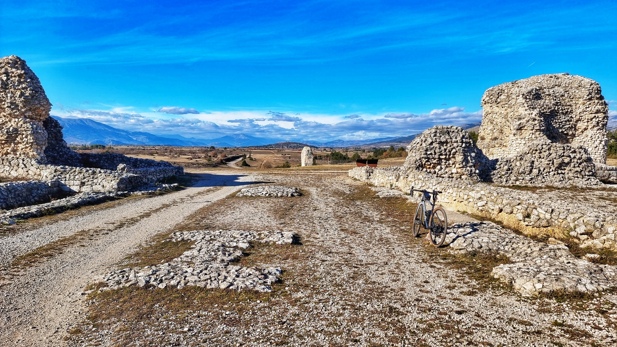
The Tratturo Magno – From the Apennines to the TavoIiere, 300 kilometers

Alta Via Stage Race – Only the brave
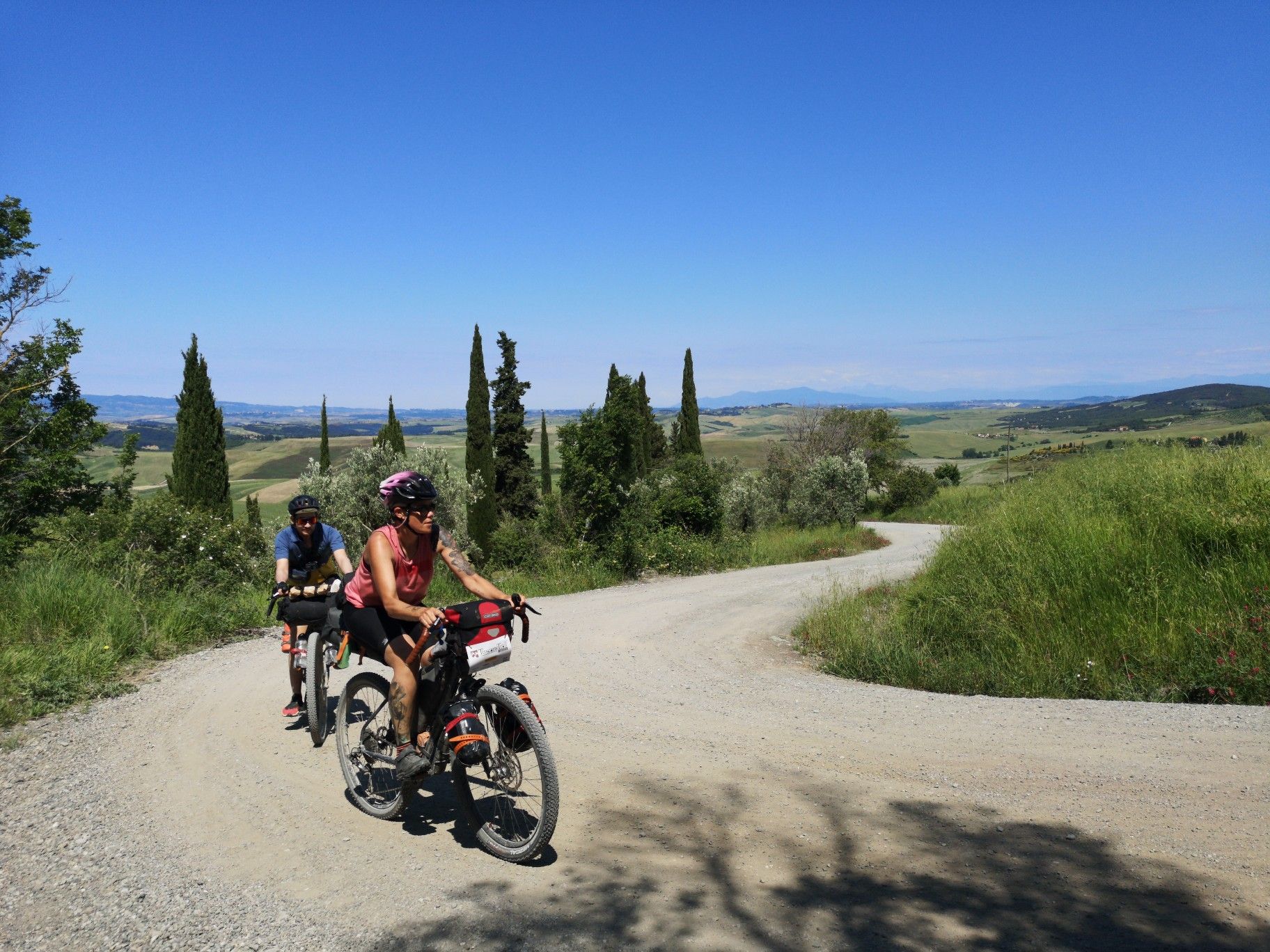
The Tuscany Trail – bikepacking in the heart of Italy
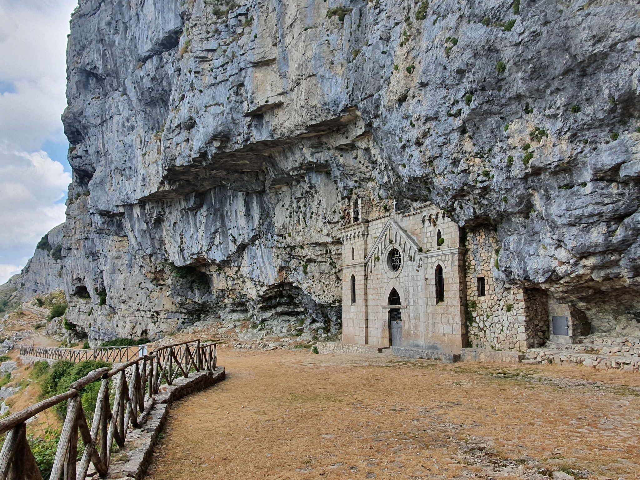
Explore Italy’s Aurunci Mountains by MTB
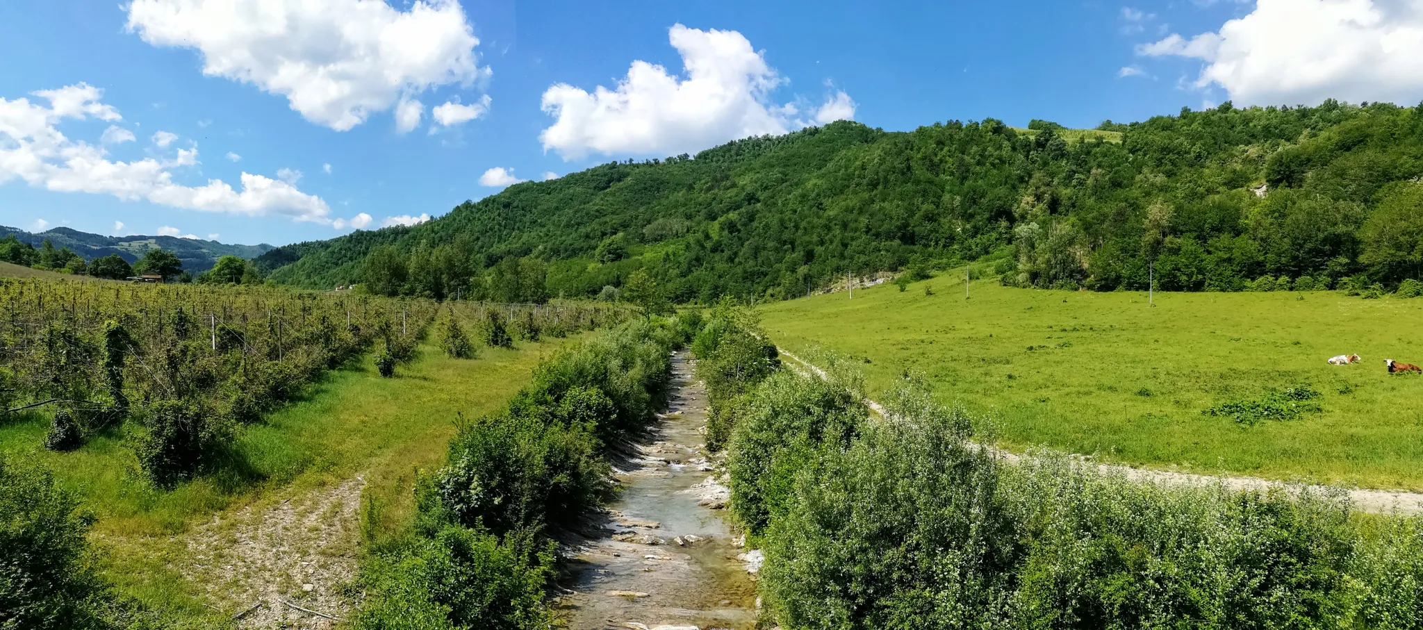
Hills, rivers and valleys - Transromagna by MTB
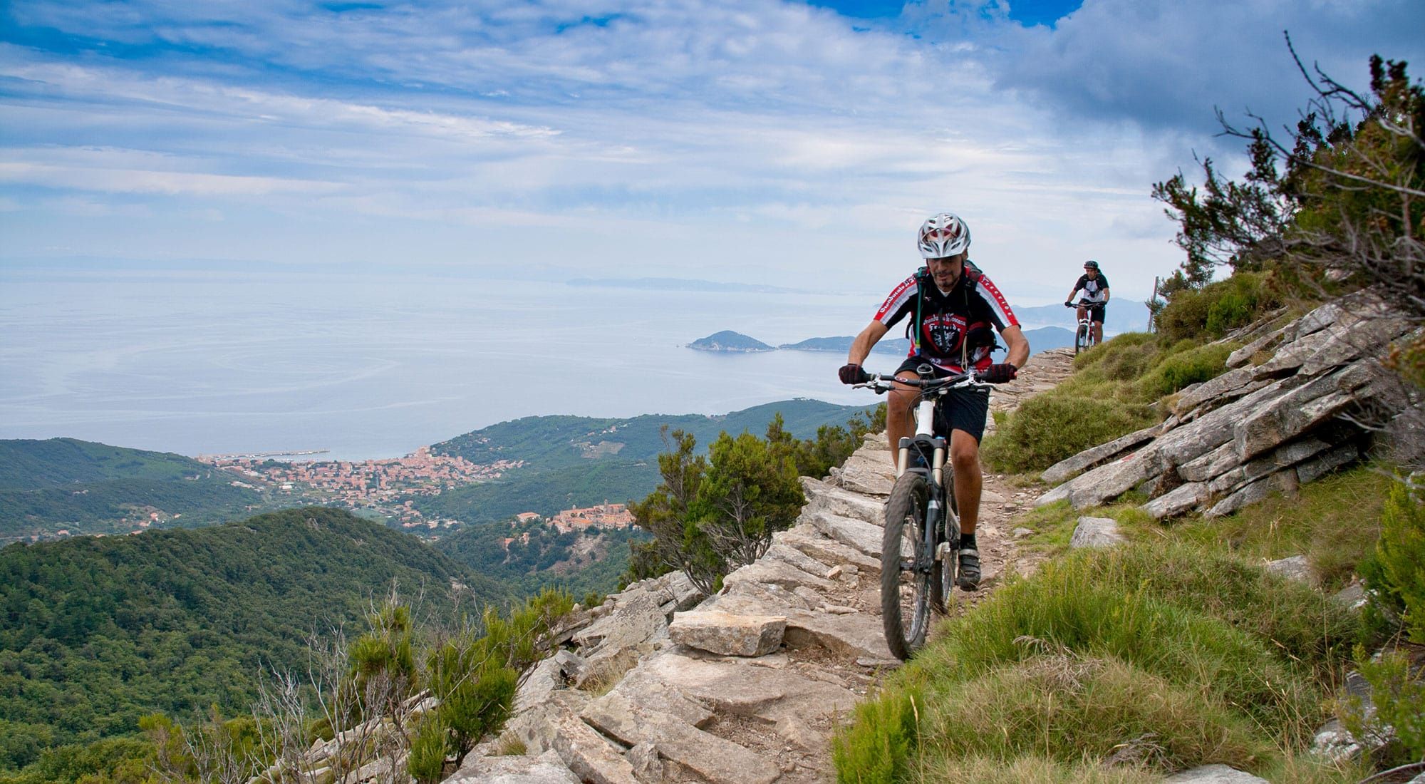
MTB on Elba and in Tuscany – trails between sea and mountains
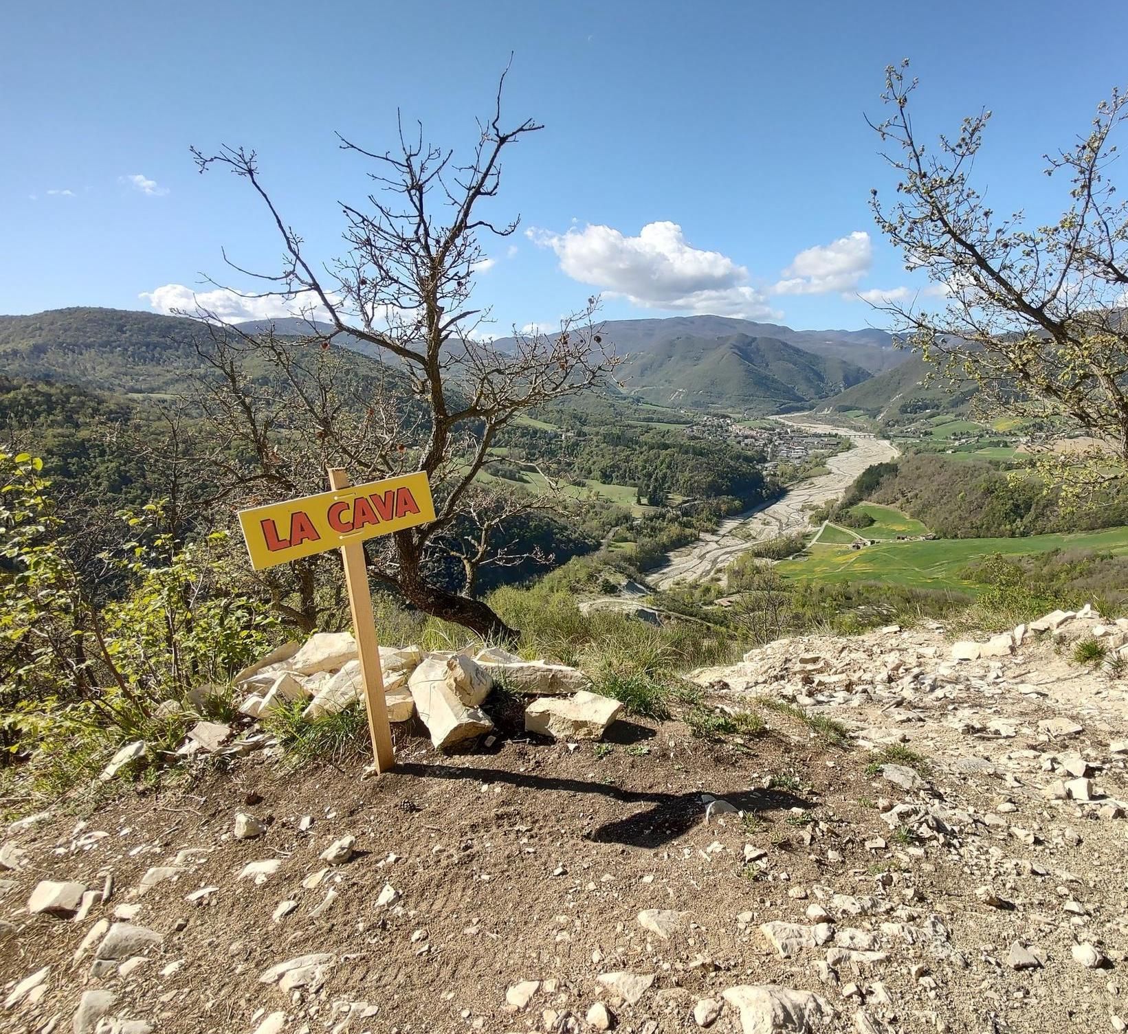
Preappennino parmense in MTB - an area to discover
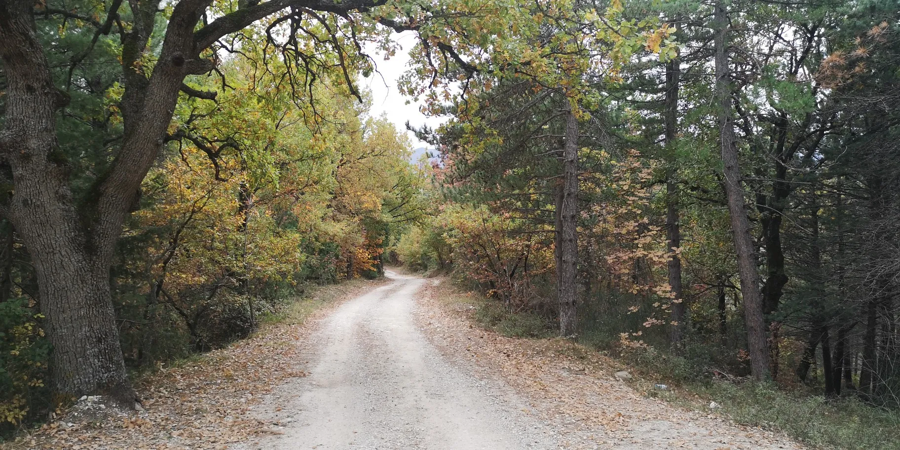
Between history and nature – Grande Anello dei Borghi Ascolani
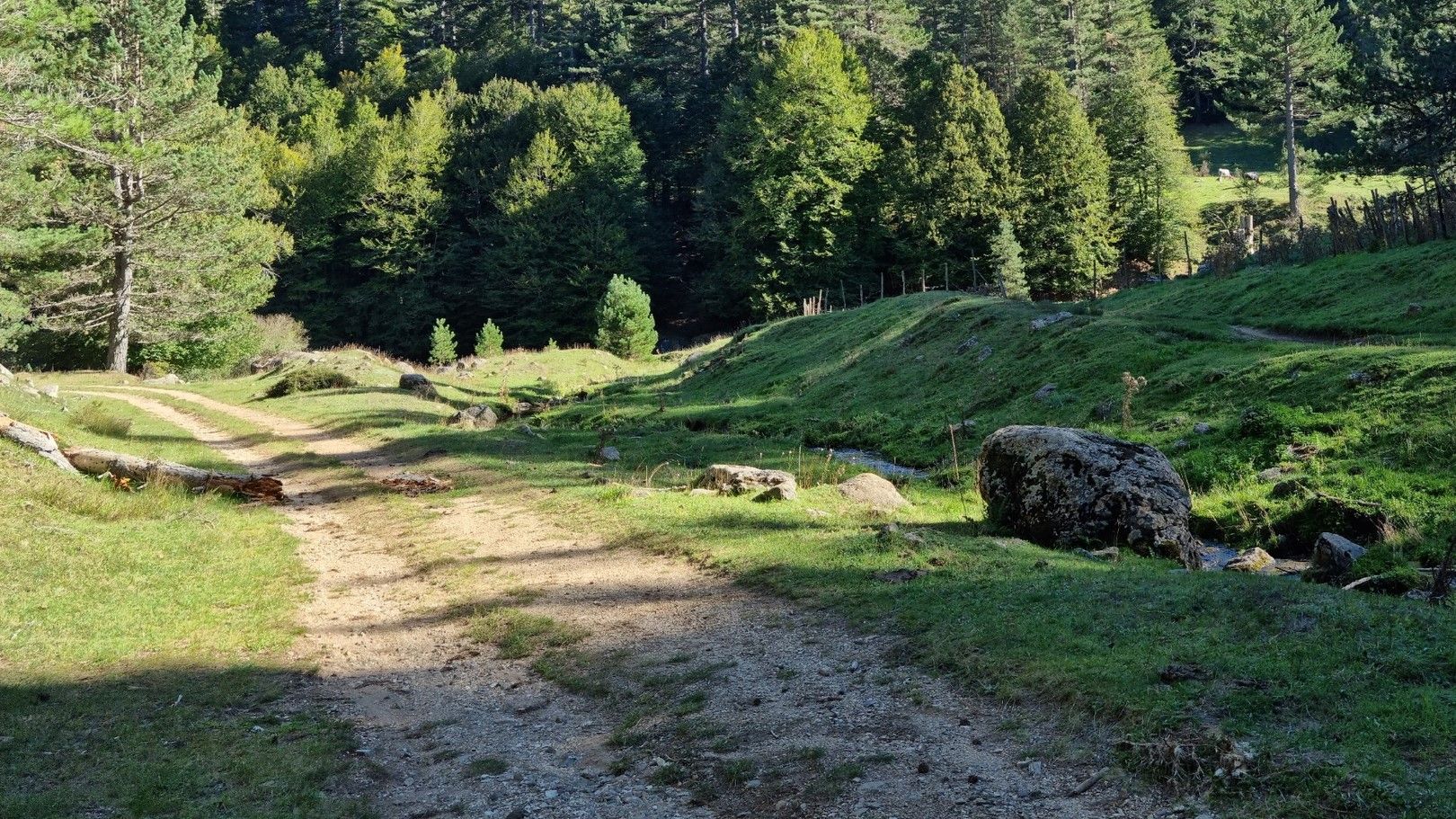
MTB in the Calabrian Apennines – Traverse of the Sila Piccola
MTB the border between Lazio and Abruzzo – Cammino dei Briganti
Other adventures in the Apennine Mountains


Tips from the Community

Riding uphill on a road bike is tough, you often have to push the bike
0
0

Top Trail! Technical in places. A bit of everything 👍🏻
0
0

view of high Verrucchio
0
0

Check the weather and flowering period
0
0
good morning everyone a question: has the mobile bridge in Saiano been laid?
0
0


La Cava is always La Cava..... You look out and... without thinking too much, you go. If you get past the first part, it's done :-). Jokes aside. This is a stretch to be tackled with caution and with good MTB riding skills. To avoid the first part, you can take the short variant to the left which in any case is steep and has some roots.
0
1
Frequently Asked Questions
What kind of mountain biking terrain can I expect in the Apennine Mountains?
The Apennine Mountains offer a diverse range of terrain, from rugged peaks and lush forests to rolling hillsides. You'll find an extensive network of dirt roads, forest tracks, and purpose-built trails. The region is characterized by significant peaks, deep valleys, and picturesque lakes, providing a scenic backdrop for rides. Trails vary from gentle uphills to challenging descents, catering to different skill levels.
How many mountain bike trails are available in the Apennine Mountains?
There are over 21,000 mountain bike routes available in the Apennine Mountains on komoot. These include a wide range of difficulties, with approximately 1,600 easy routes, over 10,000 moderate routes, and nearly 10,000 difficult routes, ensuring options for every rider.
What is the best time of year for mountain biking in the Apennine Mountains?
The best seasons for mountain biking in the Apennine Mountains are typically spring (April-May) and fall (September-October). During these months, the weather is mild, and there are generally fewer tourists, allowing for a more authentic and immersive experience in nature.
Are there family-friendly mountain bike trails in the Apennine Mountains?
Yes, the Apennine Mountains offer numerous options suitable for families. With over 1,600 easy routes available on komoot, you can find trails that are less demanding and enjoyable for riders of all ages. These often traverse gentler terrain and scenic areas.
What are some notable natural features or landmarks I might encounter on the trails?
The Apennine Mountains are rich in natural beauty. You might encounter features like Ridracoli Lake, stunning views from Lago di Fiastra, or panoramic vistas of the Ligurian Sea. The region is also home to national parks such as Foreste Casentinesi and Monti Sibillini, which protect diverse landscapes. Geological wonders like the Triassic Gypsum formations or the Pietra di Bismantova rock formation are also present. For specific natural attractions, consider exploring highlights like Lake Scaffaiolo or Lake of the Nymph.
Are there any historical or cultural sites along the mountain bike routes?
Many mountain biking routes in the Apennines lead through charming traditional villages, past Roman churches, medieval castles, and other historical sites. The region's rich history means you can often combine outdoor adventure with cultural exploration. For example, the route Castelli di Verucchio e San Leo - giro ad anello takes you past historic castles.
Can I find circular mountain bike routes in the Apennine Mountains?
Yes, many routes in the Apennine Mountains are designed as loops, offering a convenient way to explore without retracing your steps. Examples include the challenging Great Alto Bidente Loop in Foreste Casentinesi National Park, the Great Sibillini Ring, or the Alta Via delle Cinque Terre Loop Trail.
What do other mountain bikers enjoy most about the Apennine Mountains?
The Apennine Mountains are highly rated by the komoot community, with an average score of 4.4 stars from over 20,000 reviews. Riders often praise the diverse terrain, the extensive network of trails, and the opportunity to explore national parks and protected areas. The blend of rugged natural beauty with historical and cultural elements is also frequently highlighted.
Are there any trails that offer panoramic views?
Absolutely. The Apennines are known for their sweeping panoramas. Routes like the Alta Via delle Cinque Terre Loop Trail offer stunning views of the Ligurian Sea, while the Great Sibillini Ring provides breathtaking vistas from Lago di Fiastra. Many trails in the higher elevations, particularly in national parks, feature expansive views over upland grasslands and forests.
Are there options for mountain biking near lakes?
Yes, the Apennine Mountains are dotted with picturesque lakes, many of which are legacies of the glacial age. You can find routes that pass by or loop around these water features. For instance, the Great Alto Bidente Loop features views of Ridracoli Lake, and the Great Sibillini Ring explores the area around Lago di Fiastra. Other notable lakes include Lake Scaffaiolo and Lake of the Nymph.
What are the typical trail conditions like in the Apennine Mountains?
Mountain bike trails in the Apennine Mountains range from well-maintained dirt roads and forest tracks to more rugged, natural singletracks. Conditions can vary significantly with weather and season. During spring and fall, you can expect generally good conditions, but always be prepared for potential mud after rain or rocky sections, especially on more challenging routes.
Are there any specific regions within the Apennines known for mountain biking?
While the entire Apennine range offers great mountain biking, specific regions stand out. The Foreste Casentinesi National Park and Monti Sibillini National Park are popular for their extensive trail networks. The Northern Apennines, particularly the Emilia-Romagna region around Monte Cimone, provide rugged terrain. The Tuscan Apennines are also known for high alpine backcountry days and natural ridgeline runs.
Most popular routes in the Apennine Mountains
Most popular attractions in the Apennine Mountains

Get inspired with the komoot mobile app


Explore more
Browse the best MTB trails in other regions.
