The best road cycling routes around Apenburg-Winterfeld
4.7
(24)
212
riders
30
rides
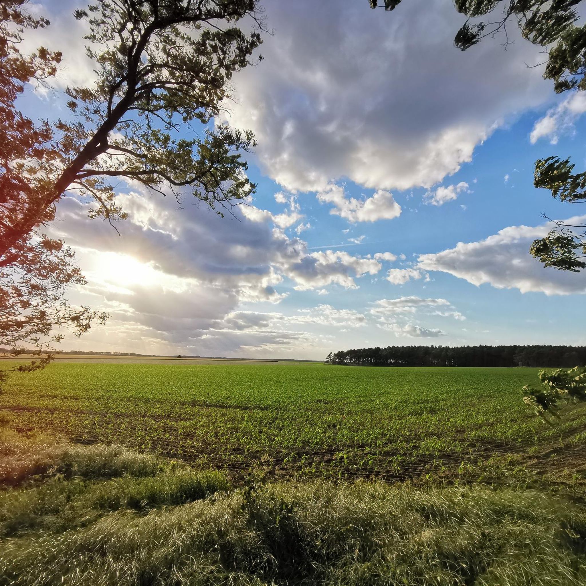
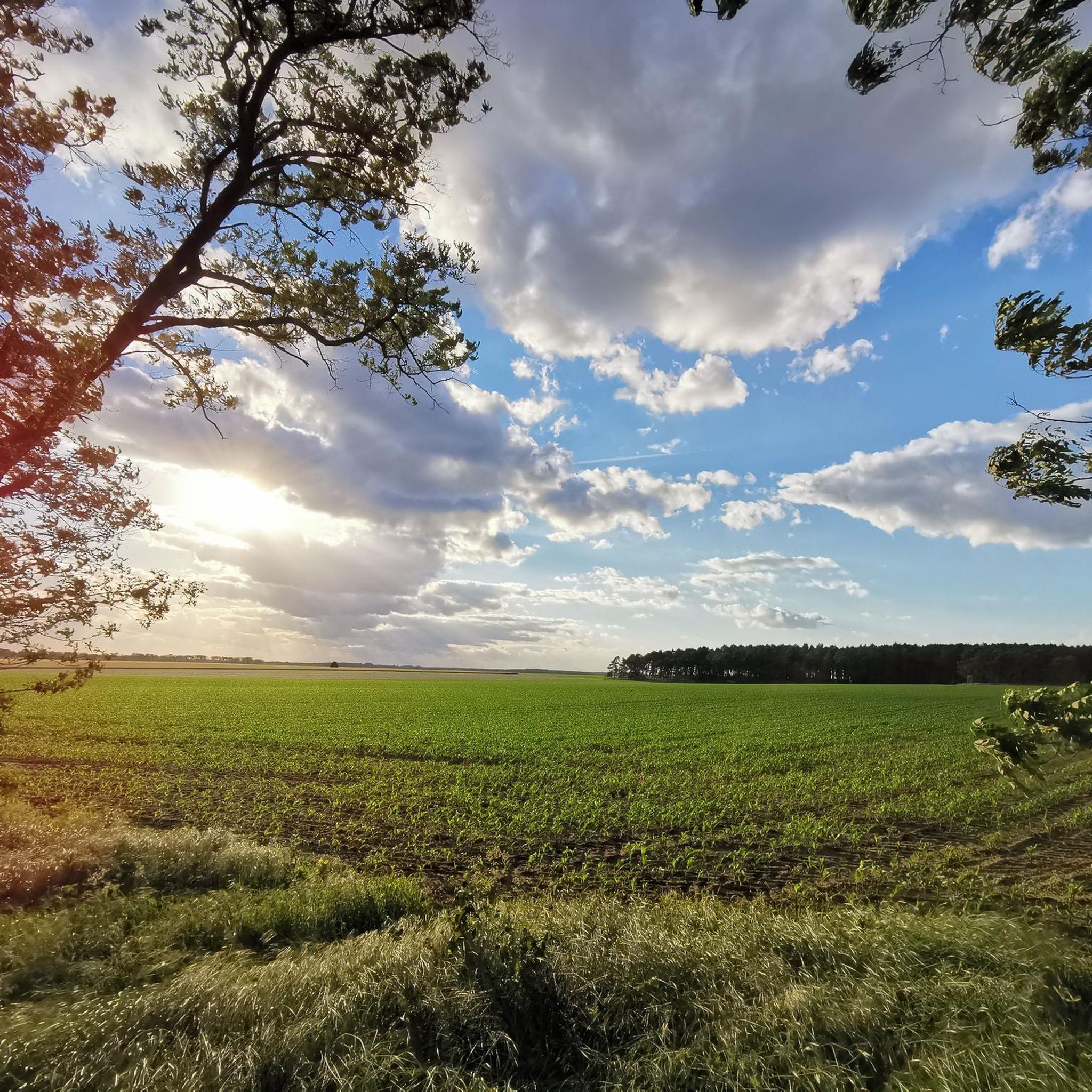
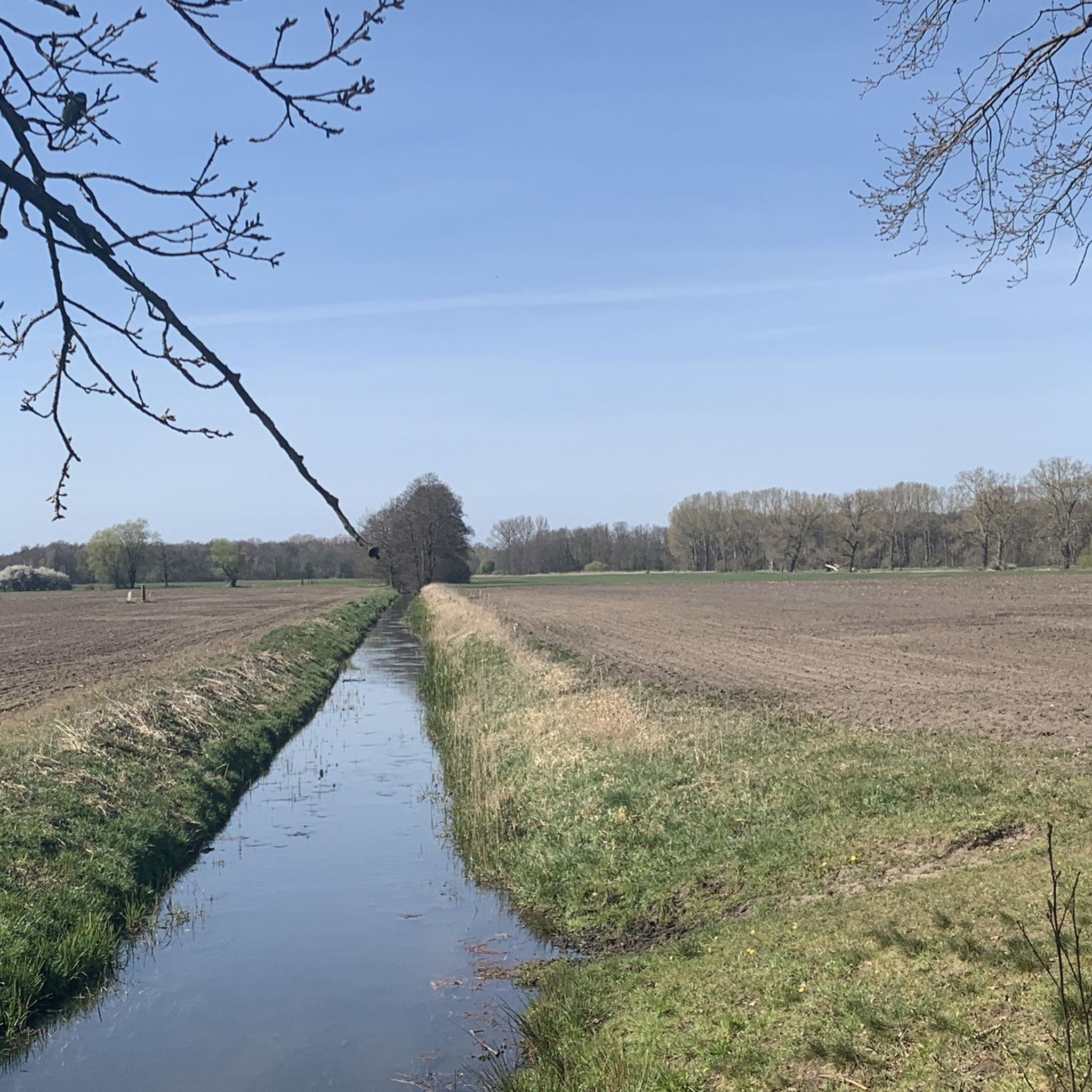
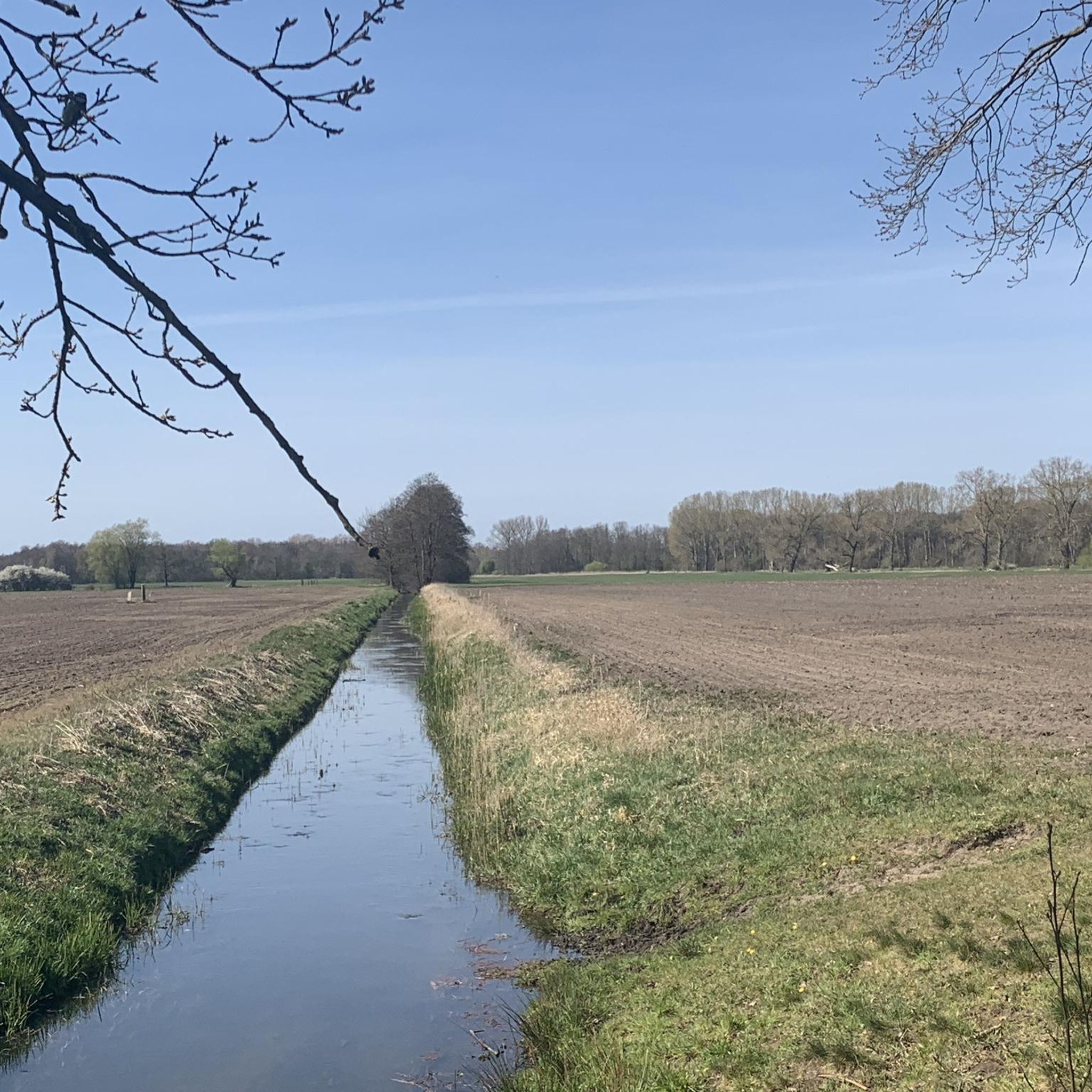
Road cycling routes around Apenburg-Winterfeld traverse a landscape characterized by rolling hills, expansive meadows, and rural fields. The region, situated on the western edge of the Altmark, offers a tranquil environment with low population density. Cyclists can expect varied scenery, including forests and the picturesque Jeetze River, which flows through nearby Salzwedel. The terrain provides a mix of winding roads suitable for road cycling.
Best road cycling routes around Apenburg-Winterfeld
- The most popular road cycling route is Wiepke Village Church…
Last updated: October 1, 2026
4.8
(5)
37
riders
57.2km
02:24
180m
180m
Moderate road ride. Good fitness required. Some segments of this route may be unpaved and difficult to ride.
4.5
(2)
22
riders
29.8km
01:18
80m
80m
Easy road ride. Great for any fitness level. Mostly well-paved surfaces and easy to ride.

5.0
(5)
19
riders
50.3km
02:01
120m
120m
Moderate road ride. Good fitness required. Mostly well-paved surfaces and easy to ride.
4.5
(2)
18
riders
32.2km
01:21
80m
80m
Moderate road ride. Great for any fitness level. Some segments of this route may be unpaved and difficult to ride.
3.0
(1)
12
riders
56.4km
02:13
190m
190m
Moderate road ride. Good fitness required. Some segments of this route may be unpaved and difficult to ride.
Get access to more routes and recommendations from other explorers.
Already have an account?
Our route recommendations are based on thousands of hikes, rides, and runs completed by other people on komoot.
Start today with a free account
Your next adventure awaits.
Tips from the Community

Salzwedel station is an important regional transport hub in the north of Saxony-Anhalt. It connects the historic Hanseatic city in the Altmark region with supra-regional centers and looks back on a rich history as part of the historic "Amerikalinie" (America Line). The station has four platforms and primarily serves regional and commuter traffic: RE20 (Magdeburg – Stendal – Uelzen): The most important lifeline of the station, which crosses the Altmark at regular intervals. Long-distance traffic (IC): Salzwedel is also connected to the Deutsche Bahn's Intercity network, providing direct connections towards Uelzen/Hamburg and Magdeburg. During line closures or major construction sites on the main Hamburg–Berlin axis, the route via Salzwedel is regularly used as an important diversion route for heavy long-distance and freight traffic. The striking station building was erected in 1870 by the Magdeburg-Halberstädter Eisenbahngesellschaft. The magnificent brick building in the imperial style testifies to the heyday of railway construction, when Salzwedel became a key station on the direct connection between Berlin and the North German ports (hence the name Amerikalinie). Directly opposite was once the Salzwedel Kleinbahnhof (later Salzwedel-Neustadt), from which the regional narrow-gauge railways started to the surrounding villages of the Altmark. After years of vacancy, the main building, which is a listed monument, is the focus of revitalization and renovation projects.
3
0
The original Lüchower Tor was a typical Gothic stepped gable building and was demolished in 1837/38 due to dilapidation. In its place, a new gate structure was built in 1840 with four sandstone pillars and double leaf gates made of oak wood. Until the completion of the structure, smugglers had free rein for years. This was a nuisance for the main customs office. It reported in 1838 that no adequate security was guaranteed against the nocturnal smuggling of taxable goods. The outer pillars with castle battlement-like crowns and the small passage gate fitted with masonry stones are remnants of the 1840 structure. The two inner pillars along with the gates were removed in 1892 to make way for increasing traffic. The Schäfergraben once flowed along behind the gate. https://entdecke-salzwedel.de/luechower-tor/
2
0
The Karlsturm is a mighty, round brick tower on a fieldstone base, built around 1370. It is the remnant of the former Altpervertoranlage and represented the strongest fortification of the city at that time. It was originally 150 meters long and consisted of an inner gate, a zwinger, and two outer gates on the Jeetze river diversion (city moat). The outer gate was demolished in 1812, the main gate fell victim to growing traffic in 1856, and the drawbridge had already been removed in 1653. The tower is about 27 meters high, has a wall thickness of approx. 1.90 meters, and a diameter of 8.80 meters. Originally, it consisted of four floors, divided by three cross vaults. Today, only the lower floor has been preserved. Its pointed roof collapsed around 1800 and was later restored. The Karlsturm is decorated with a pointed arch frieze and displays the coats of arms of the German Emperor, the seven Electorates, and the two cities of Salzwedel. In the central niche stands a stone sculpture, originally interpreted as Emperor Henry V, but later identified as Emperor Charles IV. The tower's name was therefore changed from Heinrichsturm to Karlsturm in 1833. Over time, the tower served as a warehouse for goods and ice, which brought about some structural changes. There were proposals to convert the tower into a water tower or a tower café, which, however, were not implemented. https://entdecke-salzwedel.de/karlsturm/
2
0
The Steintor in the Hanseatic city of Salzwedel is the most recent of the formerly ten medieval city gates. It was built around 1530, incorporating an older round tower that formerly served as a prison. The gate, in the North German Brick Gothic style, is located at the Neustädter Wallfriedhof and marks the historic northern entrance to the fortified old town. The gable shows late Gothic ornaments on both sides. The gate is one of the few preserved ones and can still be passed by cars and pedestrians. https://www.fachwerkfreunde.de/index.php/bundeslaender/sachsen-anhalt/salzwedel/artikel-steintor-937
2
0
The St. Catherine's Church in the Hanseatic city of Salzwedel is a significant, three-nave Gothic brick basilica. The documented construction start of the house of worship dates back to the year 1280. It was built as the main parish church for the then newly founded Salzwedel Neustadt. After the founding of the Neustadt (1247), the church was designed as a purely community church, which is why historically there was no separation between the chancel and the nave. While the massive tower base still bears Romanesque features, North German brick Gothic dominates the rest of the building. In the mid-15th century, the complex was extended to the west with a Late Gothic hall. During the GDR era, the building was acutely threatened by decay and demolition. Only through the massive, courageous commitment of the community members could the church be saved. During the Wende in autumn 1989, it was a central place for local peace prayers. As the church, located near the old Hanseatic port, is presumably built on marshy ground, its structural integrity has suffered from cracks for centuries; extensive renovations (supported, among others, by the German Foundation for Monument Protection) secure the foundation and the tie rods. Since 1981, the chancel has housed the valuable Late Gothic carved altarpiece from the Dambeck monastery church, which shows the rare depiction of a unicorn fleeing into the lap of the Virgin Mary. The original high altar was sold to Frankfurt Cathedral in the 19th century to finance renovations. Three of the originally nine colored glass windows from the 15th century have been preserved. They survived World War II unscathed because they were stored away in time. https://gemeinde-bunt.de/gemeinden/st-katharinenkirche
4
0

would probably have been destroyed in the Second World War
0
0

The waviness is mostly due to root upheavals. Since many cycle paths around Oebisfelde run through wooded areas or along avenues (e.g. in the direction of Weferlingen or on the Aller cycle path), the roots of the adjacent trees push the asphalt upwards. This leads to the typical "jump ramps", which can be particularly uncomfortable and dangerous for racing bikes or heavily laden touring bikes.
0
0
Lübbow is a small, idyllic municipality in the district of Lüchow-Dannenberg in Lower Saxony, located directly on the state border with Saxony-Anhalt. As it is only about 10 to 12 kilometers away from the Hanseatic city of Salzwedel, the connection there is very close.
0
0
Frequently Asked Questions
How many road cycling routes are available in Apenburg-Winterfeld?
Apenburg-Winterfeld offers a diverse selection of over 30 road cycling routes. These routes cater to various skill levels, including 5 easy, 24 moderate, and 1 difficult option, ensuring there's a suitable ride for every cyclist.
What kind of terrain will I encounter on road cycling routes in this region?
The region around Apenburg-Winterfeld is characterized by picturesque rolling hills, expansive meadows, and rural fields. You can expect varied scenery, including stretches through forests and along the picturesque Jeetze River, particularly near Salzwedel. The roads are generally winding, offering an engaging experience for road cyclists.
Are there easy road cycling routes suitable for beginners or families?
Yes, there are several easy road cycling routes. For instance, the Salzwedel station – Neuperver Gate Salzwedel loop from Salzwedel is an 18.0-mile (28.9 km) easy trail that takes you through the historic town and its surroundings. Another easy option is the Rebenstorf Village Church – Lüchower Gate loop from Salzwedel, covering 32.2 miles (51.9 km).
What historical landmarks or natural features can I see along the road cycling routes?
The region is rich in historical and natural sights. You can discover impressive megalithic tombs like the Wötz Megalithic Tomb, or visit charming fieldstone churches such as Winterfeld's St. Stephen's Church. The historic town of Salzwedel, with its restored half-timbered houses and the Burggarten and Bergfried, is also a highlight. For natural beauty, look out for the Kroneneiche Jemmeritz or the Bald Cypress Avenue in Beetzendorf Park.
What is the best time of year for road cycling in Apenburg-Winterfeld?
The spring and summer months are generally ideal for road cycling in Apenburg-Winterfeld, offering pleasant temperatures and the full beauty of the flowering meadows and lush forests. Autumn also provides a scenic backdrop with changing foliage. Always check local weather forecasts before heading out.
Are there any circular road cycling routes in the area?
Many of the road cycling routes in Apenburg-Winterfeld are designed as loops, allowing you to start and end at the same point. For example, the popular Wiepke Village Church – Burg Kalbe Ruins loop from Winkelstedt is a 35.9-mile (57.7 km) moderate route that explores the rural landscape and historical points of interest.
Where can I find parking for road cycling routes in Apenburg-Winterfeld?
Given the rural nature of the region, parking is often available in or near the starting villages of the routes. Larger towns like Salzwedel offer designated parking areas. It's advisable to check specific route descriptions for recommended parking spots, especially for longer tours.
Can I reach the starting points of road cycling routes by public transport?
Yes, some routes are accessible via public transport. For instance, routes starting from Salzwedel, such as the Salzwedel station – Neuperver Gate Salzwedel loop, are conveniently located near the Salzwedel train station. Public transport options may vary, so checking local schedules for bike transport is recommended.
What do other cyclists say about road cycling in Apenburg-Winterfeld?
The road cycling routes in Apenburg-Winterfeld are highly rated by the komoot community, with an average score of 4.7 stars from over 19 reviews. Cyclists often praise the tranquil environment, varied scenery, and the opportunity to explore historical sites and natural features away from busy roads.
Are there any routes that connect natural areas with historic towns?
Absolutely. The Seeben–Salzwedel Cycle Path – Neustadt Salzwedel loop from Salzwedel is a prime example. This moderate 32.2-mile (51.7 km) path offers views of the Jeetze River and seamlessly connects natural areas with the charming, historic town of Salzwedel, known for its half-timbered houses and cultural heritage.
Are there any challenging road cycling routes for experienced riders?
While the majority of routes are easy to moderate, there is at least one difficult road cycling route available for those seeking a greater challenge. These routes typically feature more significant elevation changes across the region's rolling hills, providing a more demanding ride.
Can I find places to stop for refreshments or accommodation along the routes?
The region, particularly in and around towns like Salzwedel, offers various cafes, restaurants, and accommodation options. While specific routes might not always pass directly by these establishments, planning your ride to include stops in larger villages or towns is feasible. The Guzzo Ice Cream Café – Tangeln Watermill loop from Klötze, for example, hints at refreshment opportunities.
Most popular routes around Apenburg-Winterfeld
Most popular attractions around Apenburg-Winterfeld

Get inspired with the komoot mobile app


Explore more
Browse the best Road cycling routes in other regions.
