The best walks and hikes around Saint-Romain-De-Lerps
4.5
(595)
5,015
hikers
16
hikes
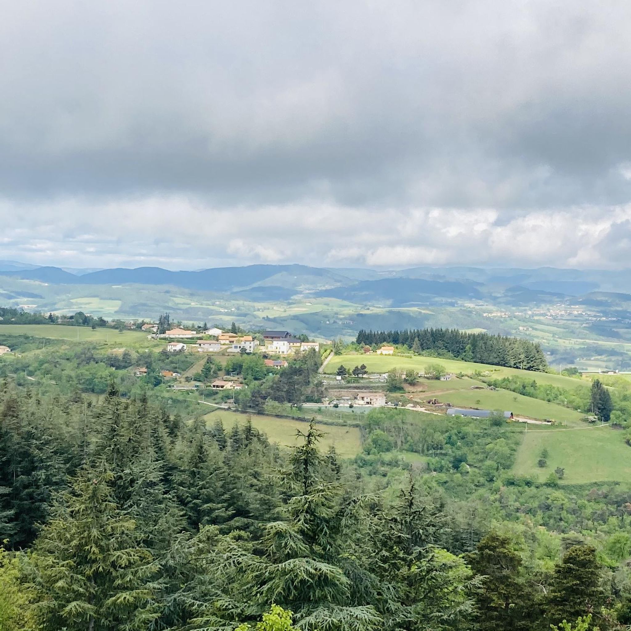
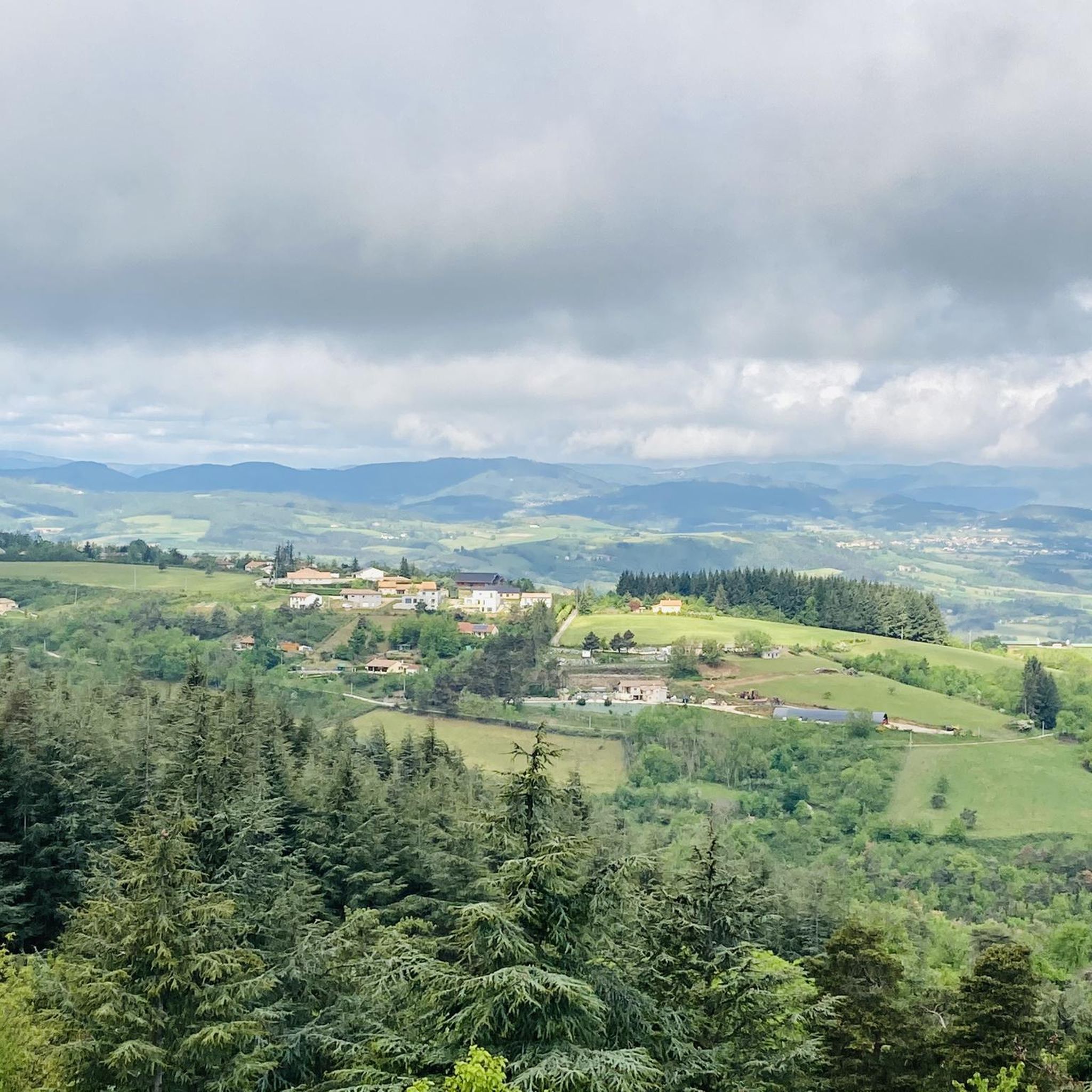
Hiking around Saint-Romain-De-Lerps offers access to diverse landscapes within the Ardèche region. The area is characterized by a verdant ridge providing panoramic views over the Rhône Valley, the Ardèche plateau, and the Pilat massif. Trails often traverse varied terrain, including chestnut forests, wooded paths, and vineyards, with local rivers like the Ay adding to the natural features. The region's topography includes rolling hills and moderate ascents, making it suitable for a range of hiking experiences.
Best hiking trails around Saint-Romain-De-Lerps
…Last updated: September 1, 2026
4.4
(8)
58
hikers
9.54km
02:42
210m
210m
Moderate hike. Good fitness required. Easily-accessible paths. Suitable for all skill levels.
4.4
(7)
53
hikers
10.4km
02:56
220m
220m
Moderate hike. Good fitness required. Easily-accessible paths. Suitable for all skill levels.

Sign up for free
4.8
(5)
23
hikers
4.30km
01:24
200m
200m
Easy hike. Great for any fitness level. Easily-accessible paths. Suitable for all skill levels.
10
hikers
Moderate hike. Good fitness required. Easily-accessible paths. Suitable for all skill levels.
3
hikers
5.23km
01:27
100m
100m
Easy hike. Great for any fitness level. Easily-accessible paths. Suitable for all skill levels.
Get access to more routes and recommendations from other explorers.
Sign up for free
Already have an account?
Our route recommendations are based on thousands of hikes, rides, and runs completed by other people on komoot.
Start today with a free account
Your next adventure awaits.
Login or Signup

Tips from the Community

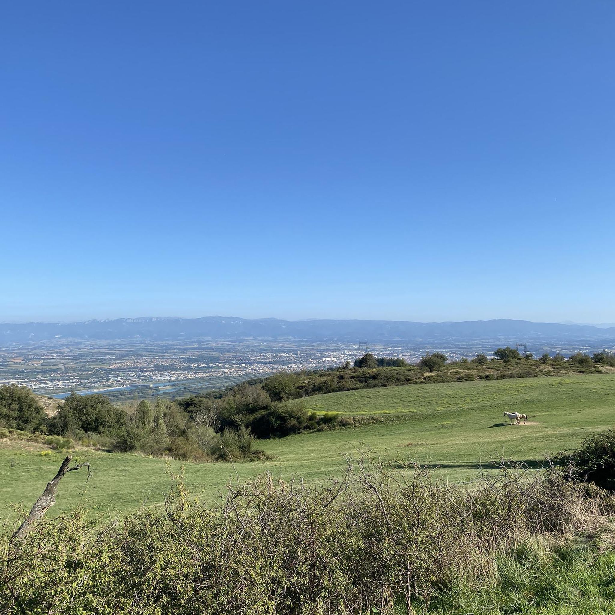
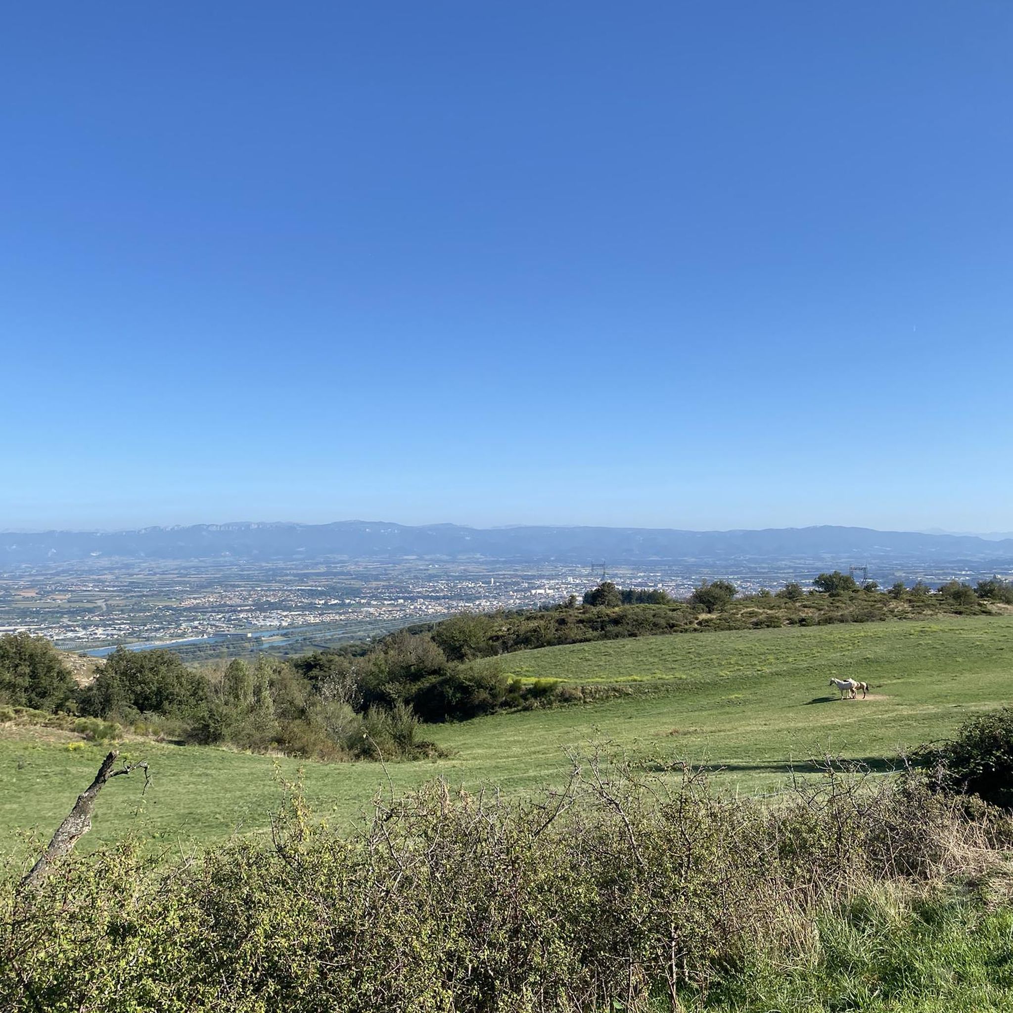
Dominates the entire Rhone valley. Climax.
0
0


Very nice view over the Rhône plain. You can go up to the belvedere by bike, a tarmac road provides access! It would be a shame to do without it by going to St Romain
0
1

This 360 ° panoramic point of view is a former strategic military and religious place. This easy-to-access observatory offers visibility over 13 departments between the Rhône valley and the foothills of Provence.
0
0

Magnificent view of the Rhône and Isère valleys and the Vercors, the westernmost foothills of the Alps
0
1

Former military standpoint dominated by a Romanesque chapel. From here you have a good view over the Cevennes to the Alps. There is also a small geological / botanical circular route.
1
0
Frequently Asked Questions
How many hiking trails are available around Saint-Romain-de-Lerps?
There are 13 verified hiking routes around Saint-Romain-de-Lerps, offering a variety of experiences from easy strolls to more challenging treks. These trails are well-maintained and provide detailed maps for exploration.
What kind of views can I expect on hikes in Saint-Romain-de-Lerps?
Hiking in Saint-Romain-de-Lerps offers stunning panoramic views. From viewpoints like the Belvédère du Pic, you can enjoy a 360-degree panorama of the Rhône Valley, the majestic Alps (including Mont Blanc on clear days), the Ardèche, the Vivarais region, and the Pilat massif. Many trails also feature views over chestnut forests, vineyards, and rolling hills.
Are there any easy, family-friendly hiking options in the area?
Yes, Saint-Romain-de-Lerps has 4 easy hiking routes suitable for families. A great option is the Saint Romain de Lerps Peak loop from Saint-Romain-de-Lerps, which is 4.3 km long and typically takes about 1 hour 24 minutes to complete, leading through the local landscape to the peak.
What are some notable landmarks or attractions to see while hiking?
The region is rich in natural and historical landmarks. You can often spot the historic Crussol Castle from various trails. The Belvédère du Pic itself is a key attraction, featuring a chapel and orientation tables. Other nearby points of interest include the Passerelle Marc-Seguin and the Esplanade du Champ de Mars.
Are there any circular hiking routes available?
Yes, many of the trails around Saint-Romain-de-Lerps are circular. For example, the popular Serre du Sabot – Serre de la Chavas loop from Saint-Romain-de-Lerps is a moderate 9.5 km loop exploring local hills and wooded areas. Another option is the Serre de la Chavas – Saint Romain de Lerps Peak loop from Chasal, a moderate 10.4 km path offering views from the peak.
What is the best time of year to go hiking in Saint-Romain-de-Lerps?
Saint-Romain-de-Lerps is suitable for hiking throughout much of the year. While summer evenings offer magical sunsets, and winter can present unique views of fog-filled valleys, spring and autumn generally provide the most comfortable temperatures and vibrant scenery with blooming flora or colorful foliage.
What do other hikers say about the trails in Saint-Romain-de-Lerps?
The hiking routes in Saint-Romain-de-Lerps are highly rated by the komoot community, with an average score of 4.5 stars from over 480 reviews. Hikers often praise the diverse terrain, the stunning panoramic views, and the well-maintained paths that lead through chestnut forests and vineyards.
Are there any longer, more challenging hikes for experienced trekkers?
While most routes are moderate, there are options for longer walks. The Saint-Romain-de-Lerps Peak loop from Champis is a moderate 15.6 km trail that takes approximately 4 hours 33 minutes to complete, offering a more extended experience with significant elevation changes.
Can I access any long-distance trails from Saint-Romain-de-Lerps?
Yes, part of the renowned GR®420 trail passes through the area, offering connections to a broader network of long-distance routes for those looking to extend their hiking adventure beyond the immediate vicinity of Saint-Romain-de-Lerps.
What kind of natural features will I encounter on the trails?
The trails in Saint-Romain-de-Lerps traverse a varied landscape. You'll walk through lush chestnut forests, charming wooded paths, and scenic vineyards. Many routes also feature local rivers like the Ay, adding refreshing natural elements to your hike.
Is there parking available at the trailheads?
While specific parking details for every trailhead are not provided, Saint-Romain-de-Lerps is a commune well-suited for outdoor activities, and it is common for hiking areas in such regions to have designated parking spots or areas near popular starting points. It's advisable to check local signage upon arrival.
Are there any routes that offer views of the Rhône River?
Absolutely. The village of Saint-Romain-de-Lerps is strategically located on a green ridge that provides sweeping views over the Rhône River and its valley to the east. Many trails, especially those leading to viewpoints like the Belvédère du Pic, will offer expansive vistas of the Rhône.
Most popular routes around Saint-Romain-De-Lerps
Most popular attractions around Saint-Romain-De-Lerps

Get inspired with the komoot mobile app


Explore more
Browse the best Hikes in other regions.
