The best walks and hikes around Marimont-Lès-Bénestroff
4.4
(36)
226
hikers
22
hikes
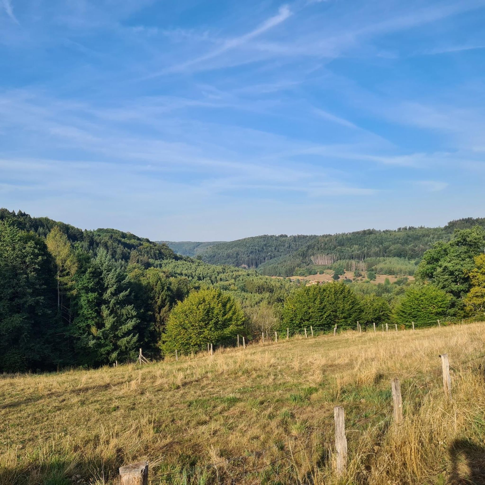
Hiking around Marimont-Lès-Bénestroff offers diverse landscapes within the Lorraine Regional Natural Park. The region is characterized by extensive forests, numerous ponds including the Étang de Lindre, and varied terrain that provides panoramic views. Trails often wind through deciduous woodlands and open areas, with some offering glimpses of distant mountains. The area features a mix of gentle slopes and moderate ascents.
Best hiking trails around Marimont-Lès-Bénestroff
- The most popular hiking route is Orientation Table Viewpoint loop from Montdidier, a 6.8…
Last updated: July 5, 2026
4.8
(5)
18
hikers
10.9km
02:53
100m
100m
Moderate hike. Good fitness required. Easily-accessible paths. Suitable for all skill levels.
4.8
(5)
17
hikers
13.0km
03:26
120m
120m
Moderate hike. Good fitness required. Easily-accessible paths. Suitable for all skill levels.

Sign up for free
5.0
(2)
5
hikers
10.3km
02:43
100m
100m
Moderate hike. Good fitness required. Easily-accessible paths. Suitable for all skill levels.
3
hikers
4.02km
01:02
10m
10m
Easy hike. Great for any fitness level. Easily-accessible paths. Suitable for all skill levels.
5.0
(1)
7
hikers
9.85km
02:33
50m
50m
Moderate hike. Good fitness required. Easily-accessible paths. Suitable for all skill levels.
Get access to more routes and recommendations from other explorers.
Sign up for free
Already have an account?
Our route recommendations are based on thousands of hikes, rides, and runs completed by other people on komoot.
Start today with a free account
Your next adventure awaits.
Login or Signup


Tips from the Community

The village of Racrange was liberated by the Americans on November 15, 1944. Barely two weeks later, Victor Dreyer, a farmer, and his son Gilbert, were returning from Rodalbe, where they had been preparing for the return of their family, who had been expelled to the Dordogne. The German army had protected their retreat by planting mines on the path through the forest. The wheels of the wagon triggered the explosion that sent the entire team flying into the trees; Twelve-year-old Gilbert was killed instantly; his father died the next day. The explosion, heard as far away as the newly liberated village, plunged Racrange into deep disarray. His other son, Bernard, would serve as mayor of the town for 24 years. This memorial, erected in their memory on the Chemin de la Seille by the family, reminds us of our vigilance in defending peace, freedom, and our democracy.
0
0

Beautiful little metal figures along the roadside.
1
0

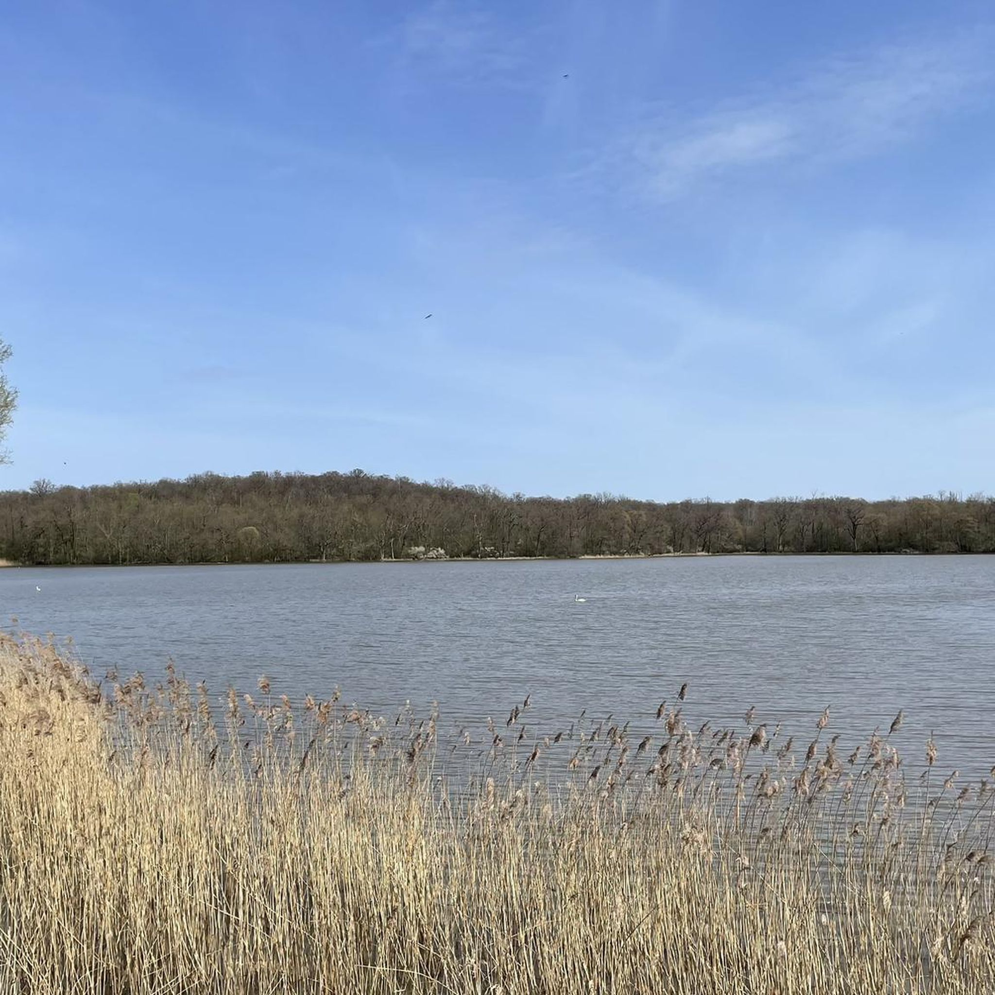
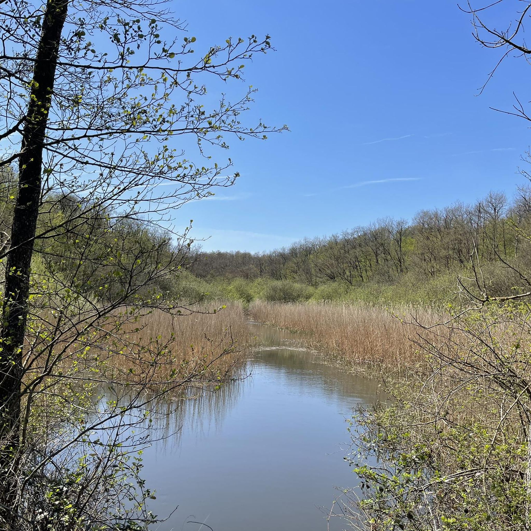
South of Dieuze, the Etang de Lindre belongs to the 134 ponds that make up what is called the country of ponds. Large over six square kilometres, the body of water becomes an Eden for walkers and fishermen during the summer.
1
0


Here you can make great rest, there are food and drinks, a toilet is also available! There is also a lot of information about the Domaine de Lindre and a souvenir shop for the small gifts from the holiday! Here you can see clearly, Lindre is Stocheland!
1
0
Frequently Asked Questions
How many hiking trails are available around Marimont-Lès-Bénestroff?
There are over 10 hiking routes available in the Marimont-Lès-Bénestroff area, offering diverse landscapes within the Lorraine Regional Natural Park. These include a mix of easy and moderate trails.
What kind of terrain can I expect on hikes in Marimont-Lès-Bénestroff?
The terrain around Marimont-Lès-Bénestroff is varied, characterized by extensive deciduous forests, tranquil ponds, and open fields. You'll find a mix of gentle slopes and moderate ascents, with many trails offering scenic viewpoints over the surrounding landscape, and sometimes even glimpses of the distant Vosges mountains.
Are there any easy hiking options suitable for beginners or families?
Yes, there are 7 easy hiking routes around Marimont-Lès-Bénestroff, perfect for beginners or families. An example is the Lindre Pond loop from Lindre-Basse, which is a relatively flat and scenic walk around the water. The trails between Lidrezing and Guébling are also noted as suitable for families.
What do other hikers enjoy most about the trails in Marimont-Lès-Bénestroff?
The hiking trails in Marimont-Lès-Bénestroff are highly rated by the komoot community, with an average score of 4.5 stars from over 30 reviews. Hikers often praise the quiet woodlands, the picturesque ponds, and the varied panoramic viewpoints found along the routes.
Can I find trails that pass by water features like lakes or ponds?
Absolutely. The region is known as the "Country of Ponds" (Pays des Étangs). Many trails, such as the Lindre Pond loop from Lindre-Basse, offer beautiful views of these extensive bodies of water, including the notable Étang de Lindre and the Domaine Départemental de Lindre.
Are there any scenic viewpoints or panoramic spots along the hiking routes?
Yes, the area offers several beautiful viewpoints. Trails around Montdidier and between Lidrezing and Guébling are known for their "beaux points de vues" and "très beaux panoramas." The Orientation Table Viewpoint loop from Montdidier is a popular route specifically for its scenic vistas.
Are dogs allowed on the hiking trails in Marimont-Lès-Bénestroff?
Generally, dogs are welcome on most hiking trails in the Lorraine Regional Natural Park, provided they are kept under control, especially in areas with wildlife or livestock. It's always advisable to keep them on a leash and clean up after them to respect the natural environment and other hikers.
Are there any circular walks available in the area?
Yes, many of the hiking routes around Marimont-Lès-Bénestroff are circular, allowing you to start and end at the same point. Examples include the Orientation Table Viewpoint loop from Montdidier and the Stele for Victor and Gilbert loop from Racrange.
What natural attractions or landmarks can I explore while hiking?
Beyond the beautiful forests and ponds, you can explore significant natural and historical sites. The Étang de Lindre and the Domaine Départemental de Lindre are major highlights. You might also encounter historical sites like the Salines de Dieuze, which are part of the region's rich heritage.
Is there public transport available to reach the trailheads?
While specific public transport details for individual trailheads are limited, the Lorraine Regional Natural Park is generally accessible. For detailed information on bus routes or train connections to towns near Marimont-Lès-Bénestroff, it's best to consult local transport authorities or the regional tourism website.
Are there opportunities for longer distance hikes in the Lorraine Regional Natural Park?
Yes, the Lorraine Regional Natural Park, which encompasses Marimont-Lès-Bénestroff, boasts over 500 km of groomed trails, including sections of long-distance paths like the GR5. This provides ample opportunities for multi-day treks or extended day hikes through varied landscapes.
What is the best time of year to go hiking in Marimont-Lès-Bénestroff?
The region is beautiful year-round, but spring and autumn offer particularly pleasant conditions for hiking with mild temperatures and vibrant natural colors. Summer is also popular, especially around the ponds, but paths can be busier. Winter hiking is possible, with the forests offering a tranquil, snow-dusted experience.
Most popular routes around Marimont-Lès-Bénestroff
Most popular attractions around Marimont-Lès-Bénestroff

Get inspired with the komoot mobile app


Explore more
Browse the best Hikes in other regions.
