The best walks and hikes around Dreibrunnen
4.6
(1602)
9,071
hikers
357
hikes
Hiking around Dreibrunnen offers routes through a landscape characterized by forests, vineyards, and a small pond. The region, particularly near Wil, features gentle elevation changes suitable for various activity levels. Notable cultural landmarks, such as the baroque pilgrimage chapel Maria Dreibrunnen, are often integrated into the hiking paths. This area provides a serene setting for outdoor exploration.
Best hiking trails around Dreibrunnen
- The most popular hiking route is Chalice Rock Loop, a 7.2 miles (11.6 km) trail that takes…
Last updated: August 18, 2026
4.2
(11)
49
hikers
11.6km
03:26
350m
350m
Hike the moderate 7.2-mile Rocher du Diable et Rocher du Calice loop in the Vosges, featuring impressive rock formations and forest views.
4.4
(10)
52
hikers
12.8km
03:55
440m
450m
Moderate hike. Good fitness required. Easily-accessible paths. Suitable for all skill levels.

Sign up for free
4.5
(12)
49
hikers
9.73km
03:06
270m
270m
Moderate hike. Good fitness required. Mostly accessible paths. Sure-footedness required.
4.0
(9)
30
hikers
3.36km
01:00
110m
110m
Easy hike. Great for any fitness level. Easily-accessible paths. Suitable for all skill levels.
4.0
(10)
43
hikers
4.48km
01:25
190m
180m
Easy hike. Great for any fitness level. Easily-accessible paths. Suitable for all skill levels.
Get access to more routes and recommendations from other explorers.
Sign up for free
Already have an account?
Our route recommendations are based on thousands of hikes, rides, and runs completed by other people on komoot.
Start today with a free account
Your next adventure awaits.
Login or Signup
Tips from the Community

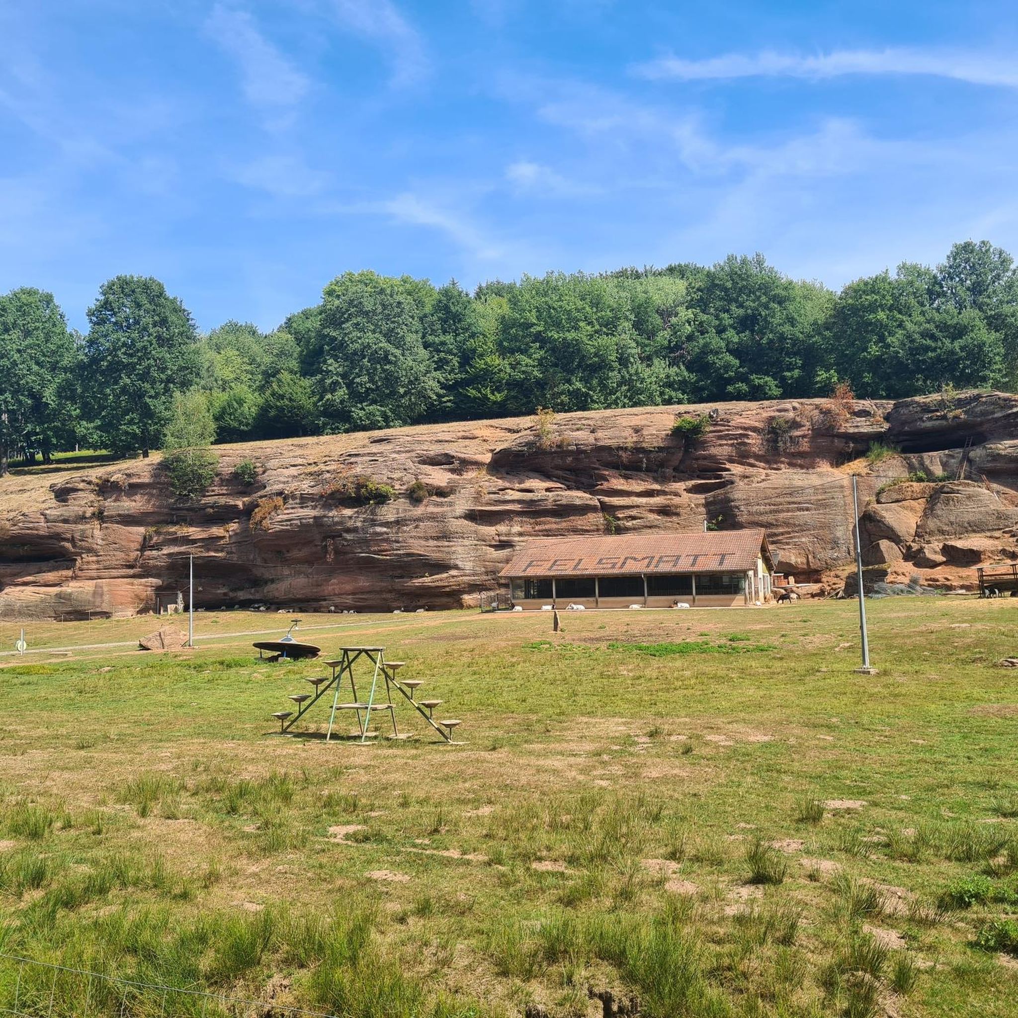
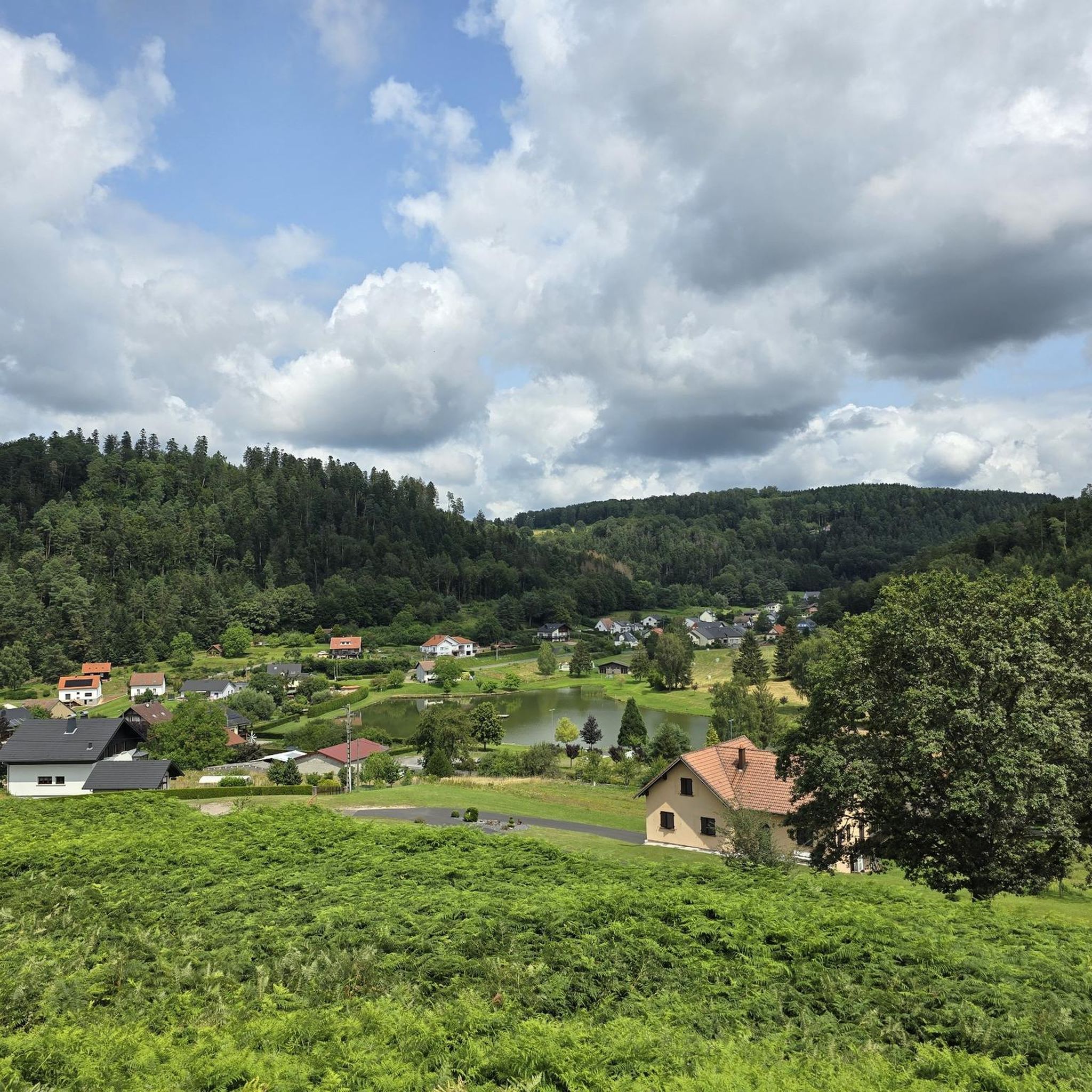
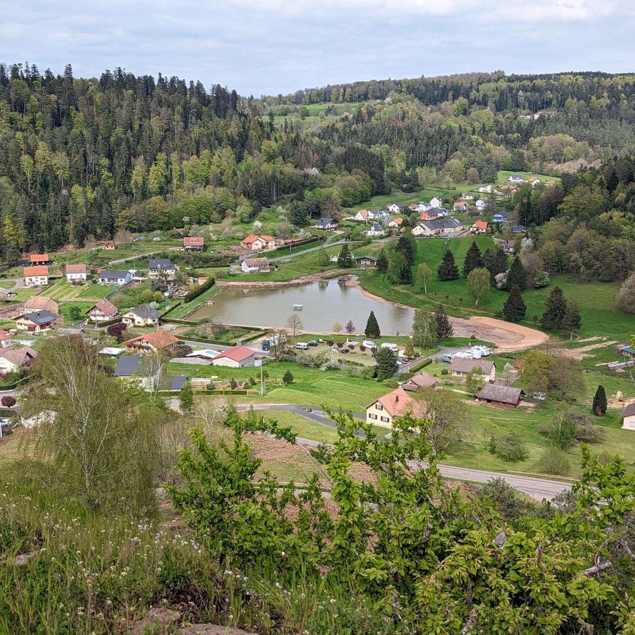
Beautiful view of Abreschviller and the forest, there is a nice kiosk with a table for eating.
0
0

A very nice spot. Well maintained, absolutely must be preserved.
0
0

Grotto located directly on the trail with a view of Schaeferhof
0
0
Well-equipped rest area on a chain of rocks with a rideable trail;
0
0
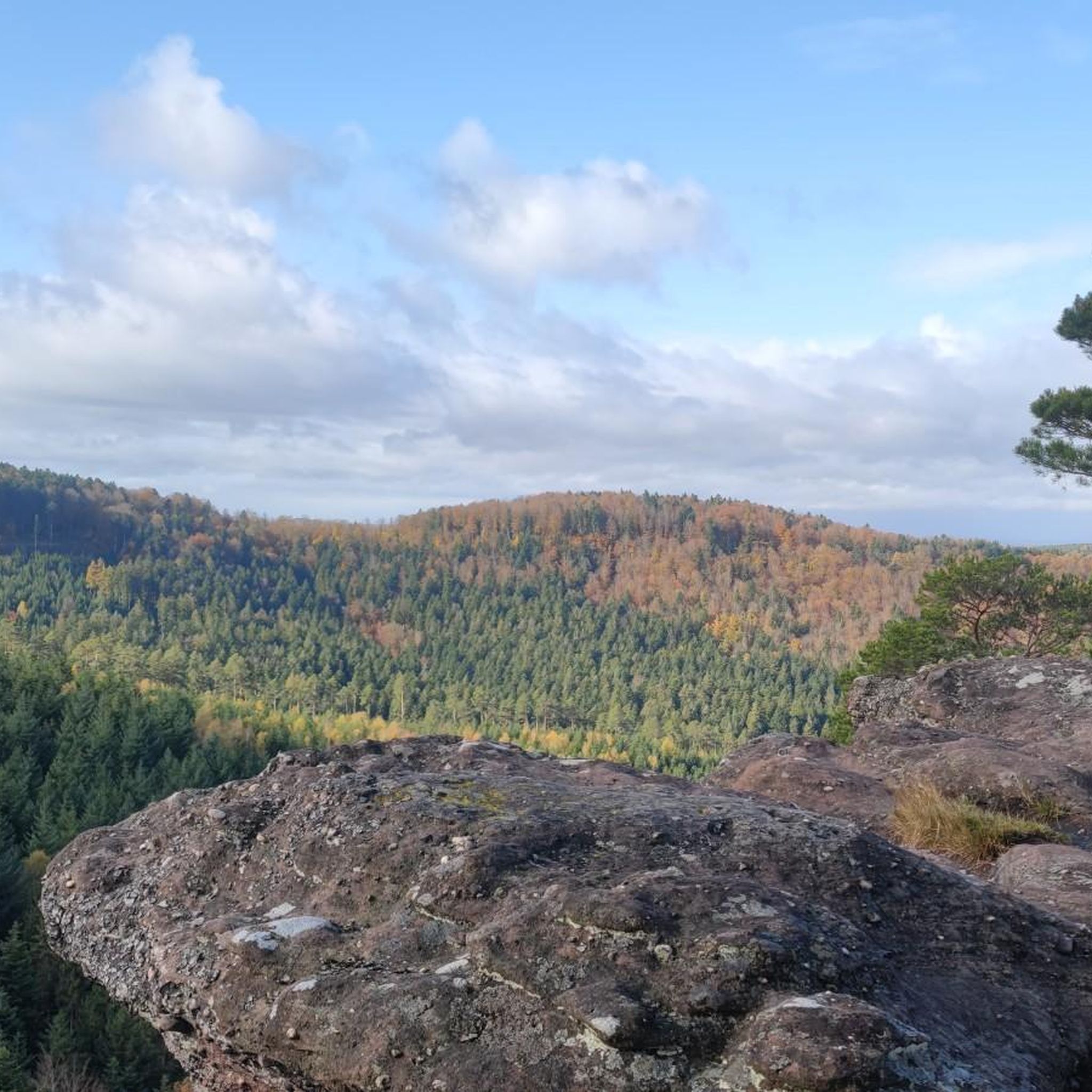
Large rocky plateau; “Hohwalsch” means the height of Walsch, i.e. of Walscheid.
0
0
At 400m with a great view, including the "Rocher de Dabo"
0
0
Under the very rock, which forms a rock shelter, lived for a long time the hermit known as "the Falkenfels", from 1895 until his death in 1902. There is no certainty about the origins of Edouard Hinbeer, nicknamed friendly by the population and in the archives the Waldbruder (brother of the forest). A valiant man, he looked after the pigs of the commune of Hellert. The population esteemed him, considered him a holy man and took turns bringing him their midday meals.
0
0

Wow, I was deeply impressed and humbled. What nature creates is so beautiful. We should show it more respect.
0
0
Frequently Asked Questions
How many hiking trails are available in Dreibrunnen?
Dreibrunnen offers a wide variety of hiking experiences, with over 350 routes to explore. These include 115 easy trails, 176 moderate paths, and 61 more challenging options, ensuring there's something for every skill level.
What kind of terrain can I expect on hikes around Dreibrunnen?
The hiking trails in Dreibrunnen primarily feature a serene landscape of forests, vineyards, and gentle hills. You'll find paths winding through wooded areas, past a small pond, and offering views of the surrounding natural scenery. The elevation changes are generally minor, making many routes accessible.
Are there any family-friendly hiking options in Dreibrunnen?
Yes, Dreibrunnen offers several easy trails suitable for families. For instance, the Walscheid from above – Saint-Léon Cave loop from Walscheid is an easy 3.3 km route that takes less than an hour, perfect for a leisurely family outing through wooded areas.
What are some interesting landmarks or attractions to see while hiking in Dreibrunnen?
While hiking in Dreibrunnen, you can discover several notable attractions. The baroque pilgrimage chapel Maria Dreibrunnen is a significant cultural landmark. You might also encounter historical sites like the Old Lock Staircase and Lock Keeper's House, or natural monuments such as the Rocher du Calice. Other points of interest include Lutzelbourg Castle and the Rocher de Dabo and Chapel Saint-Léon IX.
Are there any circular hiking routes in the Dreibrunnen area?
Yes, many routes in Dreibrunnen are designed as circular paths, allowing you to start and end at the same point. A popular moderate option is the Chalice Rock Loop, which covers 11.6 km and takes about 3 hours 25 minutes through varied forested terrain.
What do other hikers say about the trails in Dreibrunnen?
The trails in Dreibrunnen are highly regarded by the komoot community, holding an average rating of 4.6 stars from over 1300 reviews. Hikers often praise the serene setting, the well-maintained paths, and the pleasant mix of forests and vineyards.
Can I bring my dog on the hiking trails in Dreibrunnen?
Many trails in Dreibrunnen are suitable for dogs, especially those winding through forests and open natural areas. It's always recommended to keep your dog on a leash, especially near vineyards or cultural sites, and to check local regulations for specific routes.
Are there any hikes that feature waterfalls in Dreibrunnen?
The Dreibrunnen area, particularly near Wil, is known for its serene forests and vineyards, rather than large waterfalls. If you are looking for destinations famous for numerous waterfalls, you might be thinking of the Lauterbrunnen Valley in Switzerland, which is a different region entirely.
What is the best time of year for hiking in Dreibrunnen?
The best time for hiking in Dreibrunnen is typically during spring, summer, and autumn. These seasons offer pleasant temperatures and vibrant natural scenery, from blooming vineyards to colorful autumn foliage. Winter hiking is possible, but some paths might be muddy or require appropriate footwear.
Are there any moderate difficulty hikes in Dreibrunnen?
Yes, Dreibrunnen has a good selection of moderate hikes. The Hohwalsch Rock – Saint-Léon Cave loop from Walscheid is a popular moderate 14.3 km trail that offers views of the natural landscape and takes approximately 4 hours 21 minutes to complete.
Are there options for public transport to access hiking trails in Dreibrunnen?
The region around Dreibrunnen, near Wil, is generally accessible. An easy hiking trail is known to start directly from the train station, leading through Dreibrunnen. For specific trailheads, it's advisable to check local public transport schedules to plan your access points.
Are there any hikes that pass by a pond or water features?
Yes, the Dreibrunnen area features a small pond, and some hiking routes are designed to pass by it. For example, a local trail starting from the train station leads through Dreibrunnen, past the small pond, and through the forest.
Most popular routes around Dreibrunnen
Most popular attractions around Dreibrunnen

Get inspired with the komoot mobile app


Explore more
Browse the best Hikes in other regions.
