The best walks and hikes around Saint-Gervais
4.3
(196)
348
hikers
64
hikes
Hiking around Saint-Gervais is characterized by gentle, low-elevation trails through rural landscapes. The region features modest elevation changes, with routes often traversing agricultural areas, small woodlands, and local villages. Paths typically offer accessible walking experiences across varied terrain, suitable for those seeking leisurely outdoor activity.
Best hiking trails in Saint-Gervais
- The most popular hiking route is Loop of Saint-André de Cubzac, a 4.3 miles (6.8 km) trail that takes 1 hour 47 minutes to complete. This easy route traverses local countryside and small hamlets.
- Another top favourite among local hikers is Hiking loop from Saint-André-de-Cubzac, a moderate 7.7 miles (12.5 km) path. This trail explores the area's vineyards and agricultural fields.
- Local hikers also love the Tour – Chateau de Grissac loop from Virsac, a 5.6 miles (9.0 km) trail leading through rural landscapes and past historic châteaux, often completed in about 2 hours 20 minutes.
- Hiking around Saint-Gervais is defined by gentle countryside, agricultural fields, and small forested areas. The network offers options for different ability levels, primarily focusing on easy to moderate walks.
- The routes in Saint-Gervais are highly rated by the komoot community with an average score of 4.3 stars from over 160 reviews. More than 300 hikers have used komoot to explore Saint-Gervais's varied terrain.
Last updated: August 23, 2026
4.0
(4)
7
hikers
6.84km
01:48
60m
60m
Easy hike. Great for any fitness level. Easily-accessible paths. Suitable for all skill levels.
14
hikers
12.5km
03:17
110m
110m
Moderate hike. Good fitness required. Easily-accessible paths. Suitable for all skill levels.

Sign up for free
4
hikers
9.04km
02:20
50m
50m
Moderate hike. Good fitness required. Easily-accessible paths. Suitable for all skill levels.
5.0
(1)
7
hikers
11.4km
02:58
70m
70m
Moderate hike. Good fitness required. Easily-accessible paths. Suitable for all skill levels.
1
hikers
9.98km
02:34
50m
50m
Moderate hike. Good fitness required. Easily-accessible paths. Suitable for all skill levels.
Get access to more routes and recommendations from other explorers.
Sign up for free
Already have an account?
Our route recommendations are based on thousands of hikes, rides, and runs completed by other people on komoot.
Start today with a free account
Your next adventure awaits.
Login or Signup


Tips from the Community

Quiet recovery 🙂
3
0

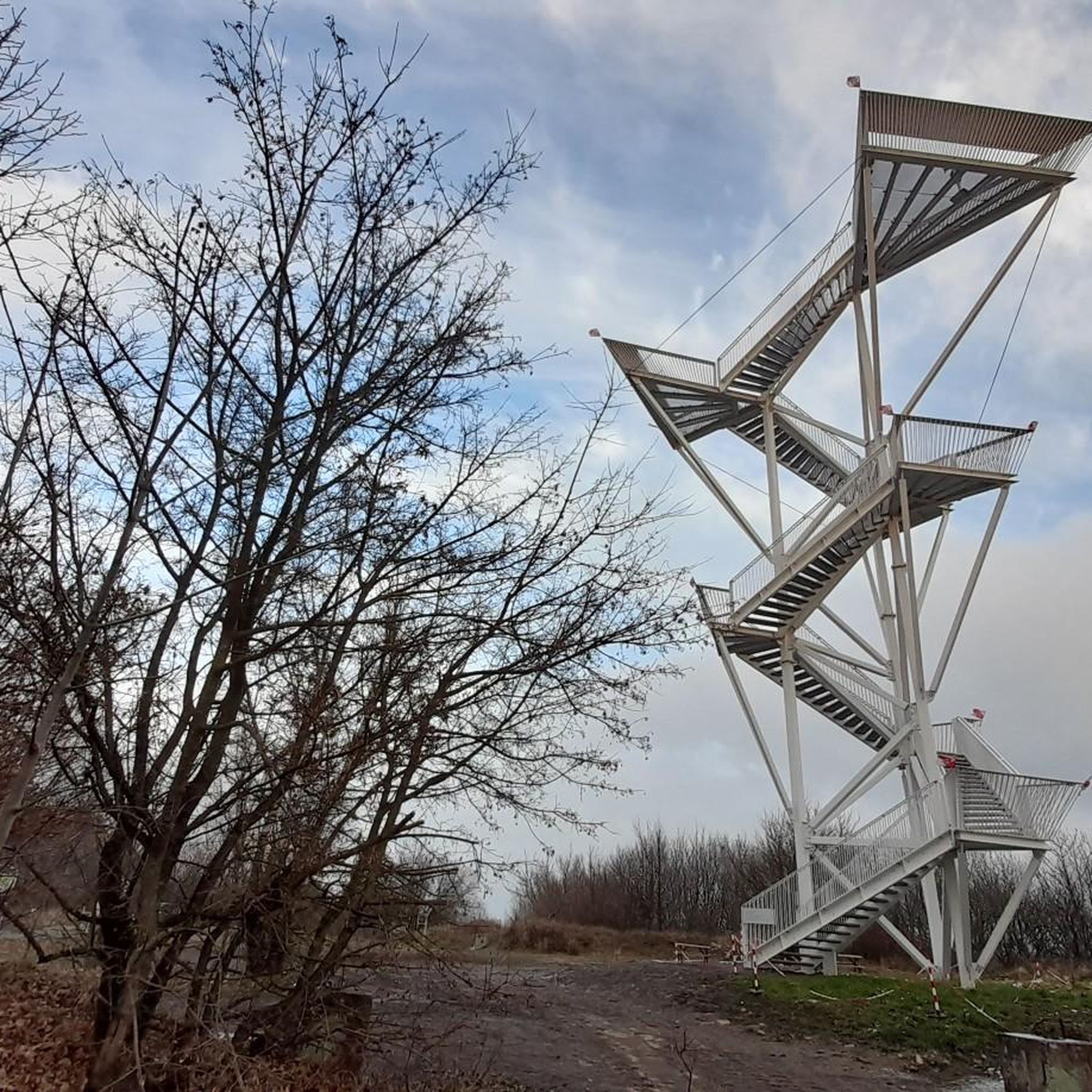
Worth seeing railway bridge, gigantic construction work.
7
0

This is the Cubzac-les-Ponts railway bridge. Built in 1885-1886, it is the work of Daydé & Pillé, a former company. As it looks like the Eiffel bridge a few hundred meters away, this road one, we sometimes confuse the builder. It is still impressive!
2
0

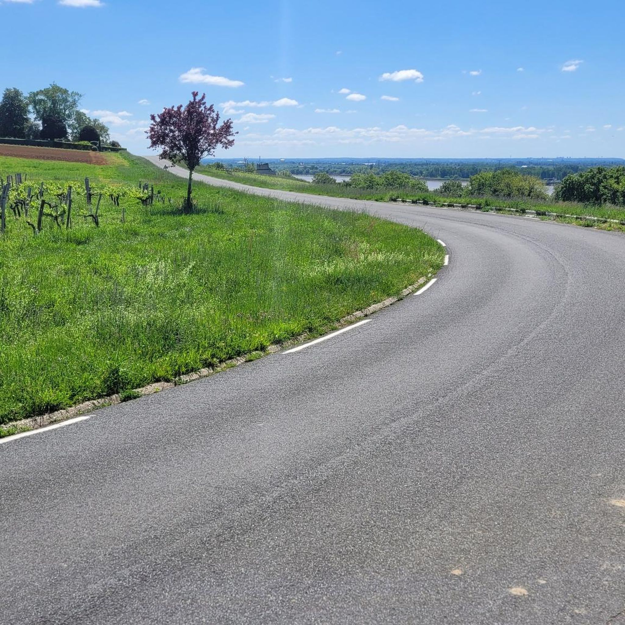
A very nice place. On the 2 seas bike route Also see the Eiffel car bridge with cycle paths. a breathtaking view of the Dordogne
1
0
Tour of the Chateau de Grissac
1
0
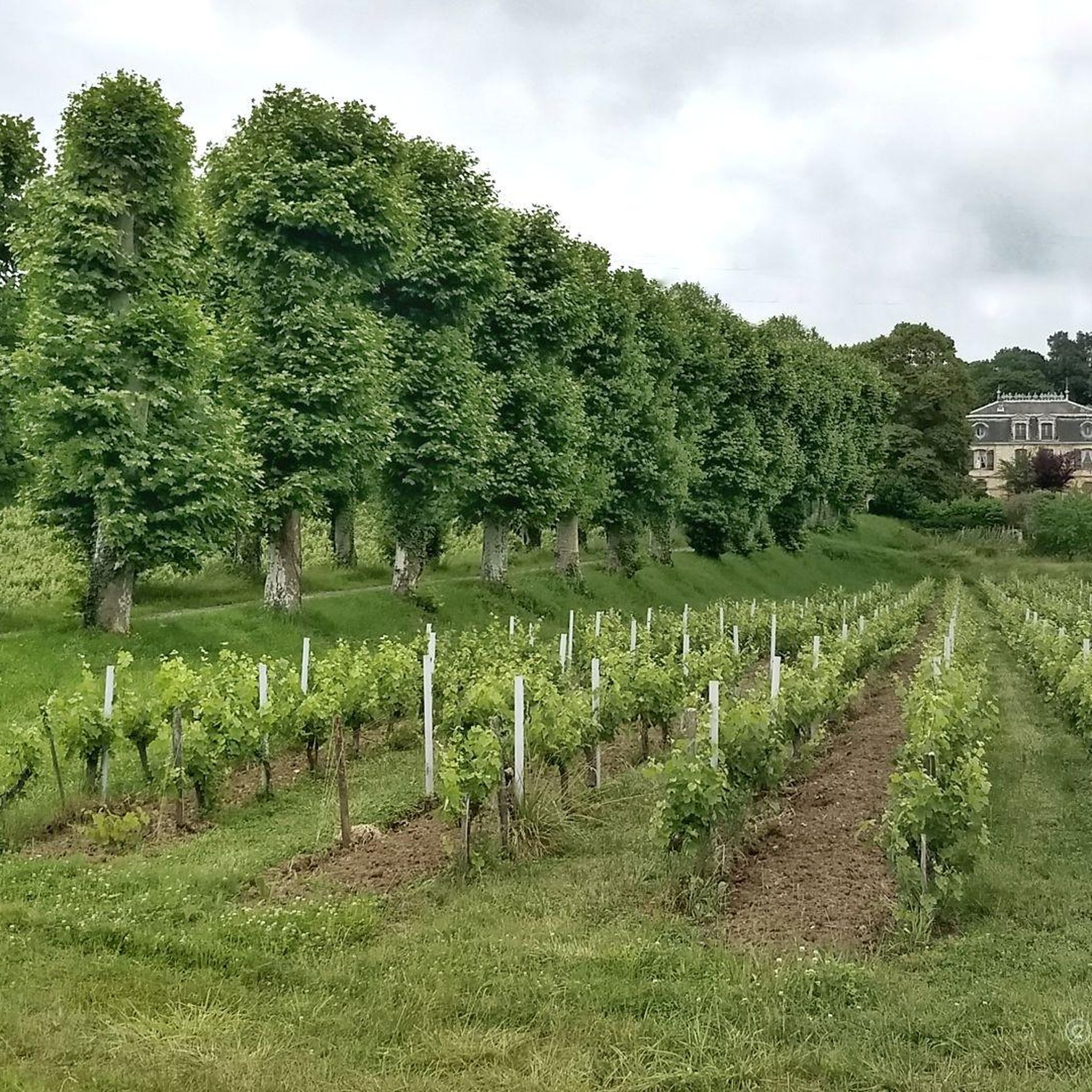
The Château du Bouilh is located in Saint-André-de-Cubzac, in Gironde. It is made up of a set of buildings: pavilion of honor and outbuildings arranged in a semicircle which date from the eighteenth century. The architect of the castle is Victor Louis who worked there from the end of 1786 to August 1789. The castle has been classified as a historical monument since March 17, 1943
2
0
Frequently Asked Questions
How many hiking trails are available in Saint-Gervais?
There are over 60 hiking trails around Saint-Gervais, offering a variety of experiences. These include 28 easy routes and 34 moderate paths, ensuring options for different skill levels.
What kind of landscapes can I expect to see while hiking in Saint-Gervais?
Hiking in Saint-Gervais primarily features gentle, low-elevation trails that traverse rural landscapes. You'll encounter agricultural areas, small woodlands, and local villages. The paths often offer accessible walking experiences through varied terrain, including vineyards and open countryside.
Are there any easy, family-friendly hikes in Saint-Gervais?
Yes, Saint-Gervais offers several easy routes suitable for families. An excellent option is the Loop of Saint-André de Cubzac, which is 6.8 km long and takes about 1 hour 47 minutes to complete, traversing local countryside and small hamlets.
Are there any circular hiking routes in the area?
Many of the trails in Saint-Gervais are circular, allowing you to start and end at the same point. For example, the Hiking loop from Saint-André-de-Cubzac is a moderate 12.5 km path that explores the area's vineyards and agricultural fields.
What are some interesting landmarks or attractions to see near the hiking trails?
While hiking, you can explore several interesting landmarks. The area features historic châteaux, such as Château Reynaud and Superb Chateau de Bouilh. You might also encounter the Eiffel Bridge of Cubzac-les-Ponts or the Bourg-sur-Gironde Citadel, adding historical context to your walk.
What do other hikers enjoy most about hiking in Saint-Gervais?
The hiking routes in Saint-Gervais are highly rated by the komoot community, with an average score of 4.3 stars from over 160 reviews. Hikers often praise the gentle countryside, the peaceful agricultural fields, and the small forested areas that define the region's trails.
Are there any moderate hiking options for a longer day out?
Yes, for a longer moderate hike, consider the Chateau de Grissac – Tour loop from Saint-André-de-Cubzac. This route covers approximately 18 km and offers a more extended exploration of the rural landscapes.
Can I find trails that pass by vineyards?
Absolutely. Many trails in Saint-Gervais wind through the region's vineyards and agricultural fields. The Hiking loop from Saint-André-de-Cubzac is a great example, allowing you to experience the local viticulture up close.
Are there any trails that offer views of historic châteaux?
Yes, some routes will take you past historic châteaux. The Tour – Chateau de Grissac loop from Virsac is a moderate 9 km trail that leads through rural landscapes and past such historic sites, often completed in about 2 hours 20 minutes.
What is the typical elevation gain on trails in Saint-Gervais?
The trails in Saint-Gervais are characterized by modest elevation changes. Most routes feature relatively gentle ascents and descents, making them accessible for those seeking leisurely outdoor activity rather than strenuous mountain climbing.
How many people have explored Saint-Gervais's trails using komoot?
More than 300 hikers have used komoot to explore Saint-Gervais's varied terrain, indicating a popular and well-loved network of paths among the community.
Are there any trails that go through forested areas?
Yes, you will find trails that lead through small forested areas, providing shaded sections and a change of scenery from the open fields and vineyards. These woodlands add to the diverse walking experience in the region.
Most popular routes around Saint-Gervais
Most popular attractions around Saint-Gervais

Get inspired with the komoot mobile app


Explore more
Browse the best Hikes in other regions.
