The best running trails around Monceaux-Sur-Dordogne
4.2
(20)
1,079
runners
83
runs
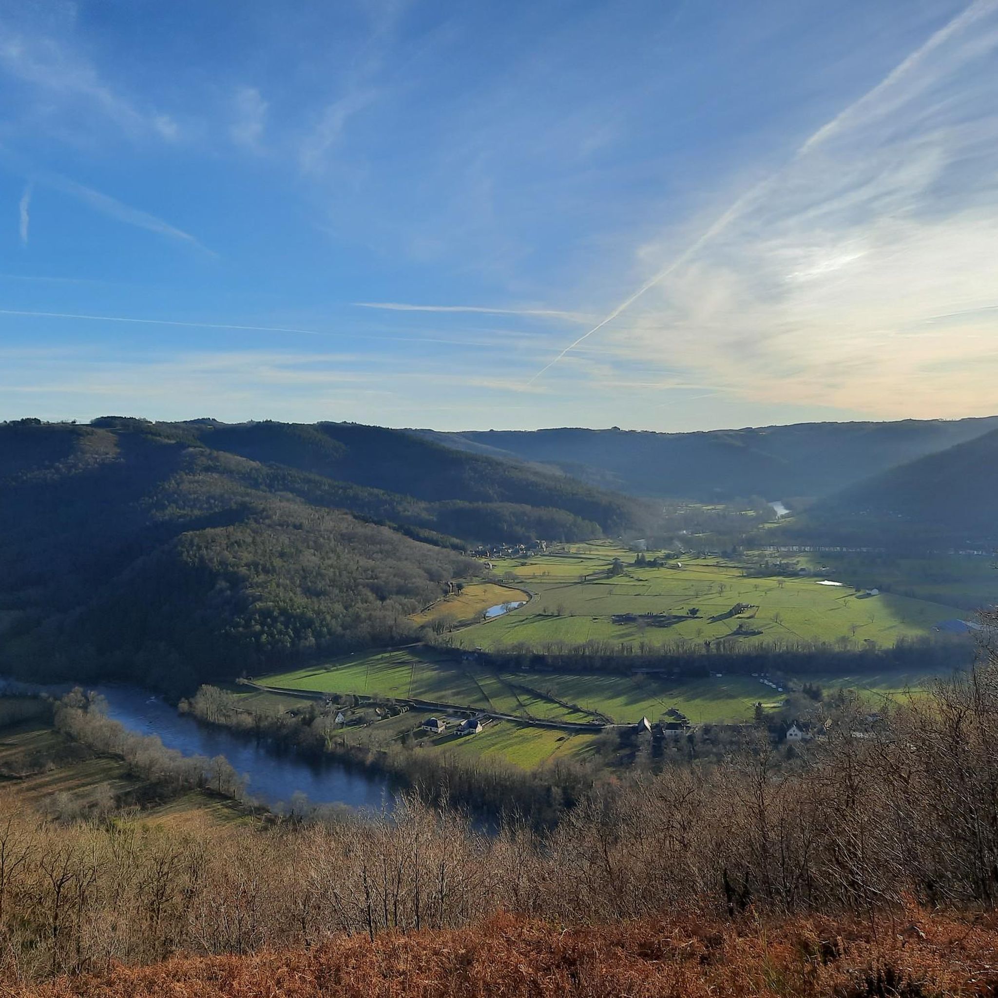
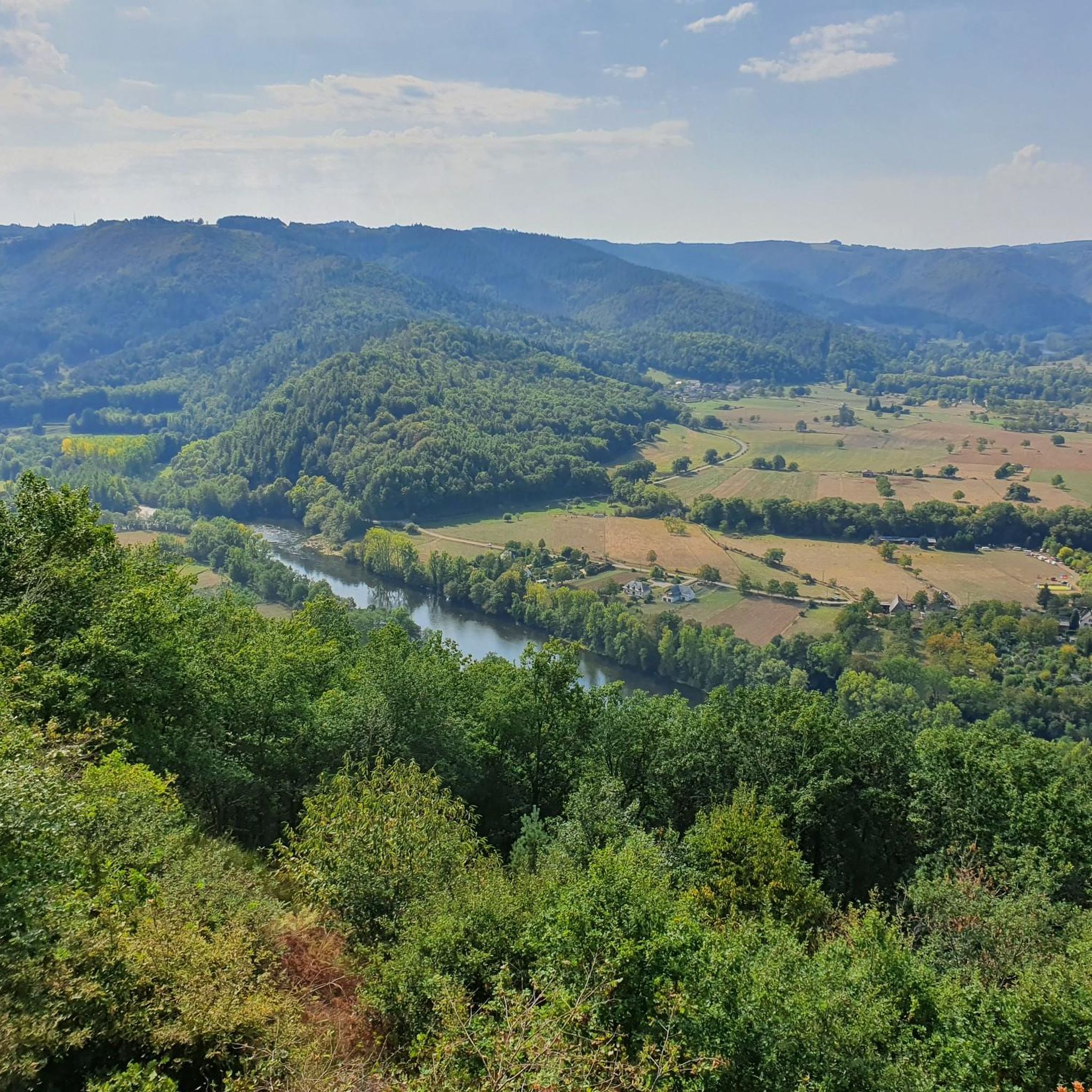
Jogging around Monceaux-Sur-Dordogne offers diverse terrain shaped by the Dordogne and Maronne rivers, which form significant boundaries and create varied landscapes. The region is part of the Xaintrie, characterized by rolling countryside, extensive wooded areas, and pastures. Elevation changes range from 147 meters in the valley to a plateau culminating at 508 meters, providing options for both riverside flats and more challenging hilly paths. Notable features like the Puy du Tour offer panoramic views over the Dordogne Valley and surrounding…
Last updated: June 29, 2026
97
runners
17.4km
02:08
420m
420m
Hard run. Very good fitness required. Mostly paved surfaces. Suitable for all skill levels.
50
runners
26.2km
03:28
850m
850m
Hard run. Very good fitness required. Mostly paved surfaces. Suitable for all skill levels.

Sign up for free
9
runners
4.53km
00:28
40m
40m
Easy run. Great for any fitness level. Mostly paved surfaces. Suitable for all skill levels.
17
runners
29.7km
03:57
910m
910m
Hard run. Very good fitness required. Mostly accessible paths. Some sure footedness required.
3.0
(2)
17
runners
10.0km
01:05
80m
80m
Moderate run. Good fitness required. Mostly paved surfaces. Suitable for all skill levels.
Get access to more routes and recommendations from other explorers.
Sign up for free
Already have an account?
Our route recommendations are based on thousands of hikes, rides, and runs completed by other people on komoot.
Start today with a free account
Your next adventure awaits.
Login or Signup
Tips from the Community

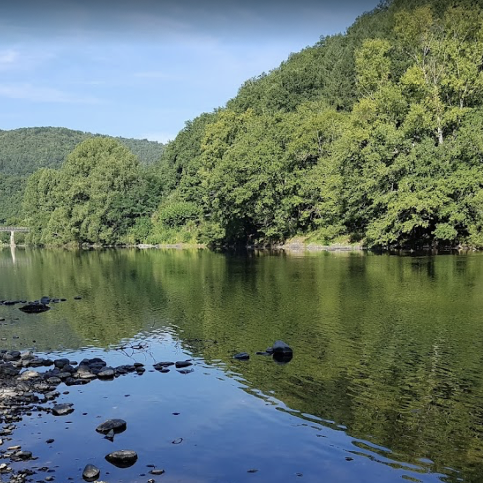
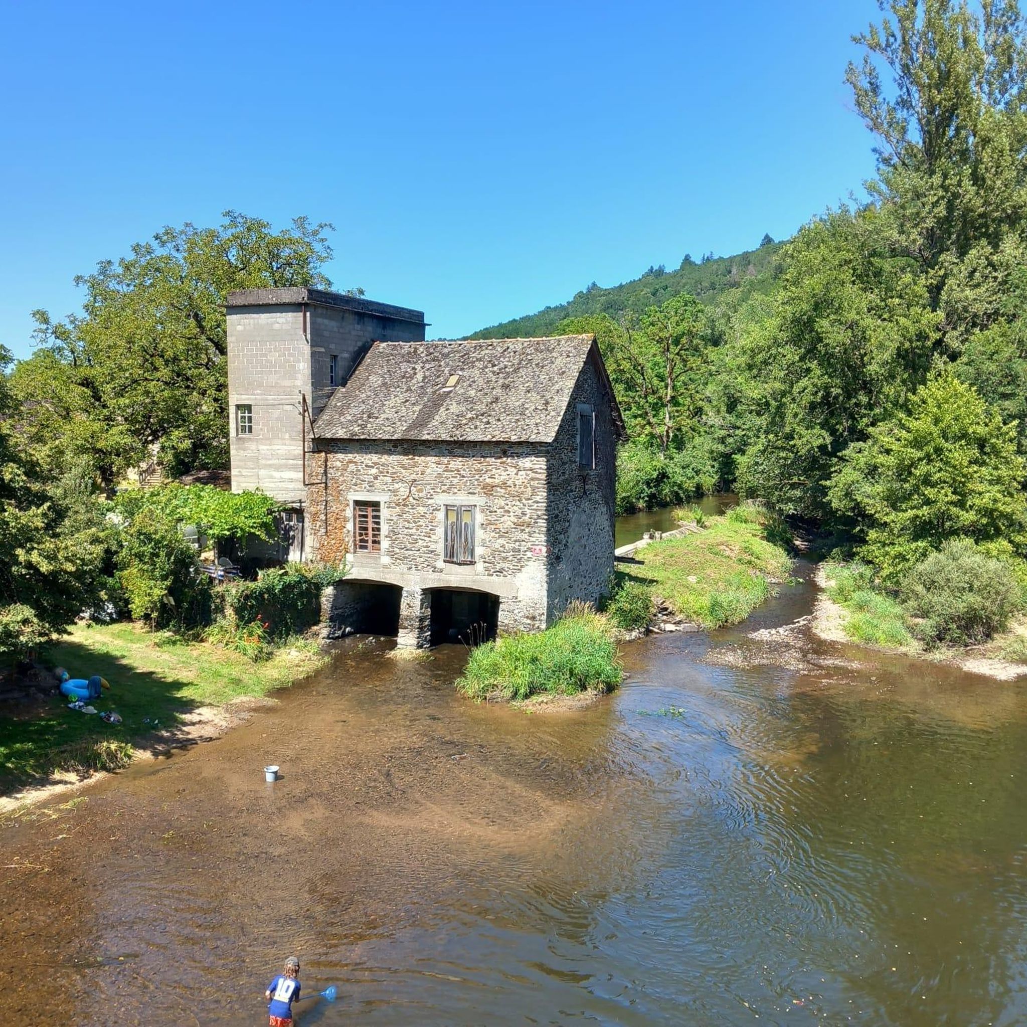
Along the Dordogne, the landscapes offer us a beautiful diversity between dams and villages.
0
0

This superb town, located on the edge of the Dordogne, is worth a stop. It has been known since the Gallic era. The place was strategic and has remained so throughout history. The town controlled the access linking Armorica to the Mediterranean Sea. This situation made it a place where wealth circulated. It was in the 18th and 19th centuries that its economic growth increased thanks to the use of barges, these flat-bottomed boats that could navigate shallow waterways.
1
0


Bridge over the magnificent Dordogne river and view of the quays.
0
0

Das Departmental Biodiversity Reserve of Argentat sur Dordogne ist Spitzenklasse.
1
0

Through the viewing slits in the wall, it is wonderful to observe birds in the small nature reserve. Best to bring binoculars!
0
0

Superb path on the remains of the old vineyard of Trescol, whose wine was once very popular, with its vine huts and its dry stone walls for cultivation!
3
0
Frequently Asked Questions
How many running routes are available around Monceaux-Sur-Dordogne?
There are over 80 dedicated running routes in the Monceaux-Sur-Dordogne area, offering a wide range of options for all fitness levels. These trails are well-documented on platforms like komoot and Visorando.
What kind of terrain can I expect on the running trails in Monceaux-Sur-Dordogne?
The region offers a diverse terrain shaped by the Dordogne and Maronne rivers, featuring rolling countryside, extensive wooded areas, and pastures. You'll find options for both gentle riverside flats and more challenging hilly paths with elevation changes ranging from 147 meters to 508 meters.
Are there any easy running routes suitable for beginners or a relaxed jog?
Yes, Monceaux-Sur-Dordogne offers 9 easy running routes. A great option for a relaxed jog is the Manoir de l'Eyrial loop from Argentat, a 2.6-mile (4.3 km) trail that leads through pleasant riverside areas and can be completed in about 26 minutes.
Where can I find routes with significant elevation for a more challenging run?
For a more challenging run with significant elevation, consider routes like Argentat – The winegrowers' path loop from Argentat. This difficult 18.5-mile (29.8 km) trail features nearly 960 meters of ascent, providing a demanding workout through the region's varied terrain.
Are there any running routes that offer panoramic views?
Absolutely! The region is known for its scenic vistas. Routes that incorporate the Puy du Tour, an ancient archaeological site, offer exceptional panoramic views over the Dordogne Valley, the Monts d'Auvergne, the Monédières, and even parts of the Lot department.
What notable landmarks or attractions can I see along the running trails?
While running, you might encounter several interesting sights. The Old Bridge over the Dordogne is a historic landmark offering scenic river views. You could also explore routes near Argentat, a charming settlement, or discover natural features like the Cascade (waterfall).
Are there any circular running routes in Monceaux-Sur-Dordogne?
Yes, many of the running routes in the area are circular, allowing you to start and finish at the same point. For example, the Argentat loop from Argentat is a difficult 10.8-mile (17.5 km) circular path offering scenic views along the Dordogne River.
What do other runners enjoy most about jogging in Monceaux-Sur-Dordogne?
The running trails around Monceaux-Sur-Dordogne are highly rated by the komoot community, with an average score of 4.4 stars from over 20 reviews. Runners often praise the diverse terrain, the beautiful riverside paths, and the extensive network of trails that cater to various ability levels.
Is Monceaux-Sur-Dordogne a good place for long-distance running?
Yes, the area offers several options for long-distance running. The The winegrowers' path – Argentat loop from Argentat is a challenging 15.6-mile (25.1 km) trail that takes approximately 3 hours and 20 minutes to complete, perfect for those seeking a longer run.
Are the running trails in Monceaux-Sur-Dordogne suitable for families?
Many trails are suitable for families, especially the easier, flatter routes along the riverbanks. These paths often weave through pleasant woods and pastures, providing a gentle and enjoyable experience for all ages. Always check the route details for distance and elevation to ensure it matches your family's fitness level.
Can I bring my dog on the running routes?
While specific regulations can vary, generally, dogs are welcome on many outdoor trails in France, especially in rural areas like Monceaux-Sur-Dordogne. It's always advisable to keep your dog on a leash, especially near livestock or in nature reserves, and to carry waste bags. Check local signage for any specific restrictions.
What is the best time of year to go running in Monceaux-Sur-Dordogne?
Monceaux-Sur-Dordogne offers pleasant running conditions for much of the year. Spring and autumn provide mild temperatures and beautiful scenery with changing foliage. Summer is also popular, especially for riverside runs where you might spot canoes, but it can be warmer. Winter runs are possible, but conditions may vary, so check local weather.
Is there parking available near the running trailheads?
While specific parking information for every trailhead isn't provided, most villages and popular starting points for trails in rural French communes like Monceaux-Sur-Dordogne typically offer public parking facilities. It's recommended to check maps or local information for designated parking areas near your chosen route's starting point.
Most popular routes around Monceaux-Sur-Dordogne
Most popular attractions around Monceaux-Sur-Dordogne

Get inspired with the komoot mobile app


Explore more
Browse the best Running Trails & Routes in other regions.
