The best running trails around Viviers-Sur-Chiers
4.5
(28)
2,195
runners
143
runs
Jogging routes around Viviers-sur-Chiers traverse a varied landscape, characterized by the Chiers valley, forests, and rolling hills. The region offers diverse terrain, from flat riverside paths to more challenging inclines through wooded areas and plateaus. This geographical diversity provides a range of environments for running.
Best jogging routes around Viviers-Sur-Chiers
- The most popular jogging route is Étang de Profonde Fontaine loop from Longuyon, a 5.6 miles (8.9 km) trail that takes 1 hour 4 minutes to complete. This route…
Last updated: July 4, 2026
35
runners
8.95km
01:04
180m
180m
Moderate run. Good fitness required. Mostly paved surfaces. Suitable for all skill levels.
6
runners
10.1km
01:06
130m
130m
Moderate run. Good fitness required. Mostly paved surfaces. Suitable for all skill levels.

Sign up for free
4.0
(1)
3
runners
9.94km
01:04
140m
130m
Moderate run. Good fitness required. Mostly paved surfaces. Suitable for all skill levels.
5.0
(1)
4
runners
7.81km
00:51
160m
160m
Moderate run. Good fitness required. Mostly paved surfaces. Suitable for all skill levels.
9
runners
19.5km
02:03
200m
200m
Hard run. Very good fitness required. Mostly paved surfaces. Suitable for all skill levels.
Get access to more routes and recommendations from other explorers.
Sign up for free
Already have an account?
Our route recommendations are based on thousands of hikes, rides, and runs completed by other people on komoot.
Start today with a free account
Your next adventure awaits.
Login or Signup
Tips from the Community

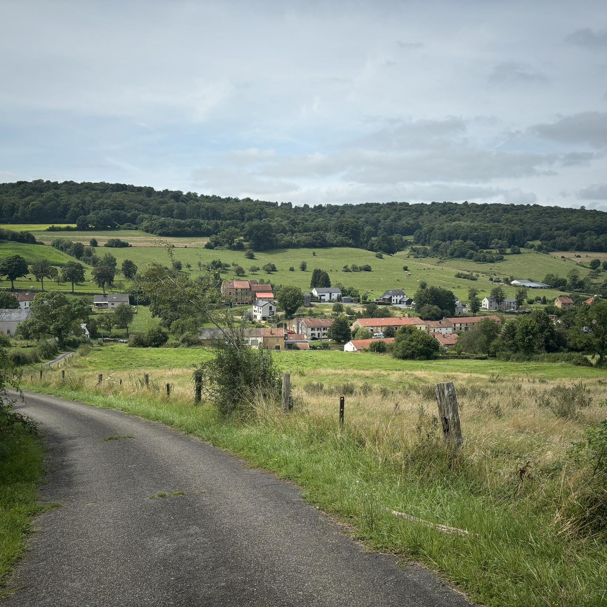
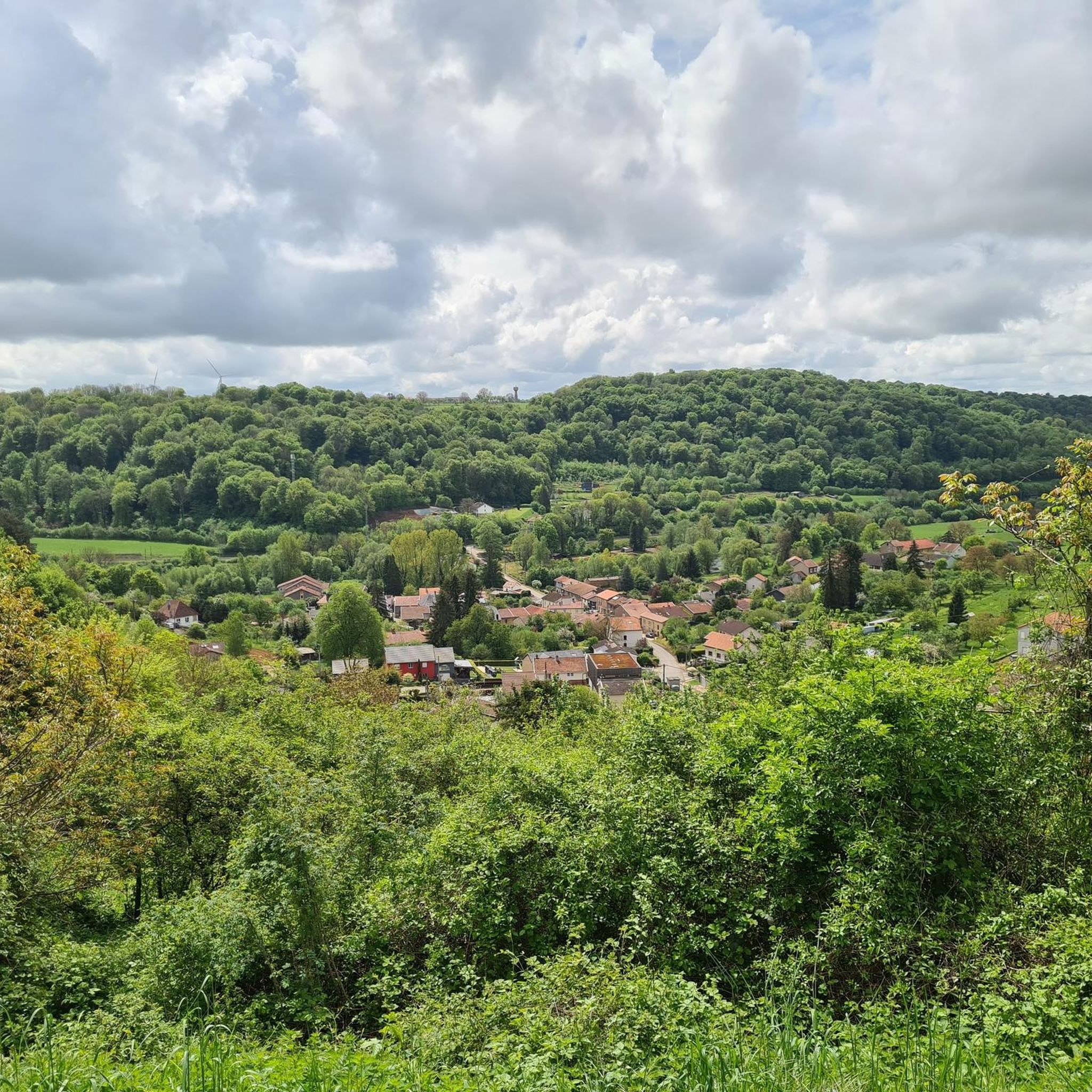
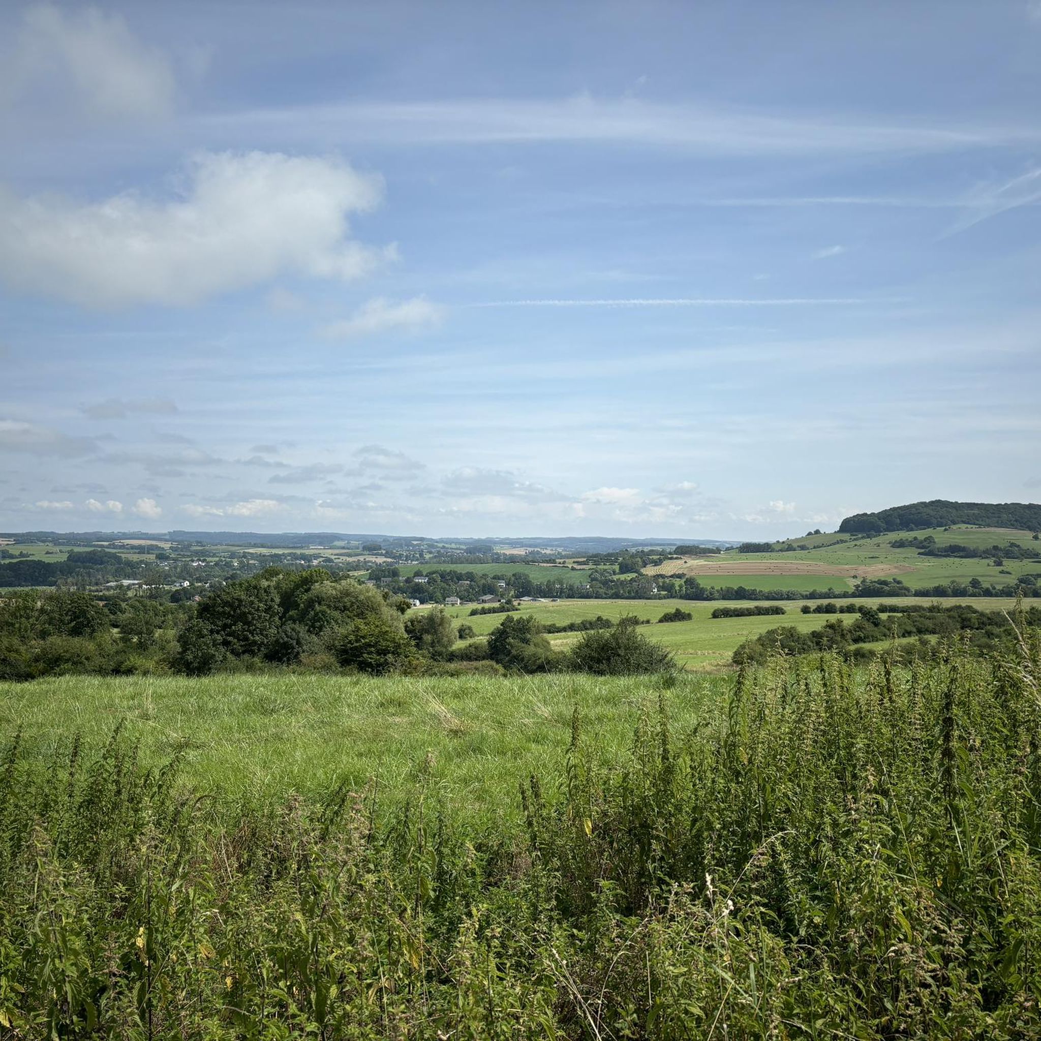
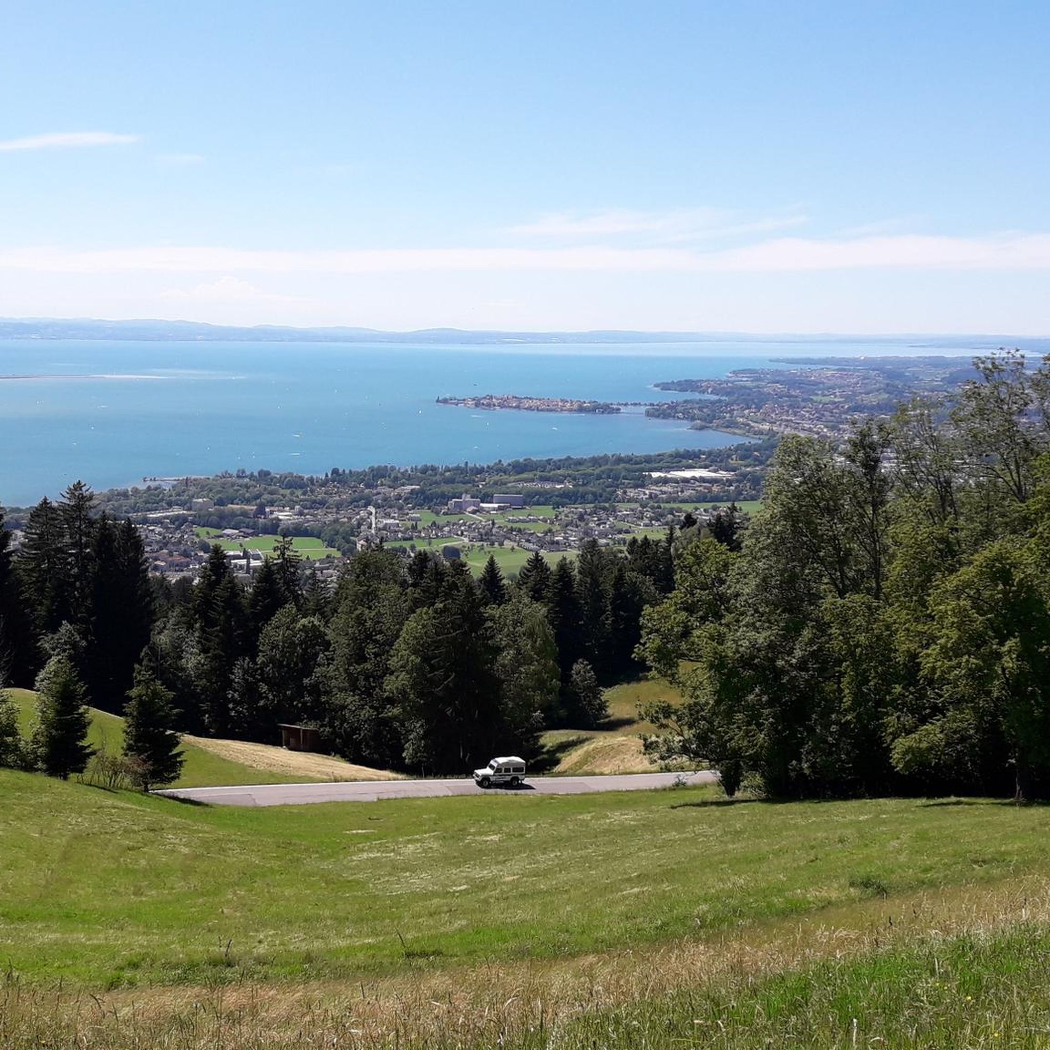
On the heights of Grandcourt, right on the Franco-Belgian border, this viewpoint reveals pretty picturesque landscapes over Lorraine.
0
0
Frequently Asked Questions
How many running routes are available in the Viviers-sur-Chiers area?
The Viviers-sur-Chiers region offers a wide selection of running routes, with over 130 trails available for you to explore. These routes cater to various fitness levels, ranging from easy paths to more challenging runs through the diverse landscape.
What kind of terrain can I expect on jogging routes around Viviers-sur-Chiers?
Jogging routes in Viviers-sur-Chiers feature a varied landscape. You'll find paths traversing the picturesque Chiers Valley, dense forests, and rolling hills. The terrain can range from flat riverside sections to more challenging inclines across wooded areas and plateaus, offering a dynamic experience for runners.
Are there any easy running routes suitable for beginners or a relaxed jog?
Yes, there are several easy running options. For a pleasant and accessible experience, consider the 5.4 km 'Trail Walking' route located within Viviers-sur-Chiers itself. This path is ideal for those looking for a gentle introduction to the area's natural beauty.
Are there any circular running routes in the Viviers-sur-Chiers region?
Absolutely. Many of the running paths in the area are designed as loops. For example, the Étang de Profonde Fontaine loop from Longuyon offers a moderate 8.9 km circular route, providing scenic views of the pond and woodlands.
What do other runners think about the trails in Viviers-sur-Chiers?
The running routes in Viviers-sur-Chiers are highly regarded by the komoot community, boasting an average rating of 4.5 stars from over 25 reviews. More than 2000 runners have used komoot to explore the varied terrain, often praising the scenic views and diverse natural settings.
Can I find running routes that connect multiple villages?
Yes, the region offers routes that link charming local villages. The 8 km 'coquinette' walking trail, for instance, connects Viviers, Braumont, and Revémont. This route guides you through the Chiers Valley, forests, hills, and plateaus, providing both a good workout and scenic views of the countryside.
Are there any notable landmarks or attractions along the running trails?
While jogging, you can encounter several interesting points. The historic Cons-la-Grandville Castle, nestled amidst hills and woods, provides a captivating backdrop. You might also pass by the Naisse Mill, a historical site, or the Saint-Denis Church, adding cultural interest to your run.
Are there any longer running loops for more experienced runners?
For those seeking a longer challenge, the Running loop from Longuyon is a great option. This moderate 10.1 km path features a mix of open fields and forested sections, offering varied scenery and a good distance for a sustained run.
What is a good running route starting directly from Viviers-sur-Chiers?
If you prefer to start your run directly from the village, the Running loop from Viviers-sur-Chiers is an excellent choice. This moderate 8.8 km route allows you to explore the local surroundings without needing to travel far to the trailhead.
What is the best time of year to go running in Viviers-sur-Chiers?
The diverse landscape of Viviers-sur-Chiers makes it suitable for running throughout much of the year. Spring and autumn offer pleasant temperatures and beautiful foliage, while summer provides longer daylight hours. Even in winter, many routes remain accessible, allowing you to experience the serene, crisp air of the region.
Are there any running routes that offer views of water features?
Yes, several routes incorporate water features into their scenery. The Étang de Profonde Fontaine loop from Longuyon, for instance, provides lovely views of the Profonde Fontaine pond, offering a refreshing visual element to your run.
Most popular routes around Viviers-Sur-Chiers
Most popular attractions around Viviers-Sur-Chiers

Get inspired with the komoot mobile app


Explore more
Browse the best Running Trails & Routes in other regions.
