The best cycling routes around Terre-Clapier
4.6
(51)
475
riders
66
rides
Touring cycling routes around Terre-Clapier traverse a landscape characterized by significant elevation changes, with many routes featuring challenging climbs and descents. The region includes notable water features such as the Tarn and Dadou rivers, as well as Lac de la Bancalié, offering varied scenery. While some routes explore areas near beaches like Plage de La Maurinié, the overall terrain is predominantly hilly, providing diverse conditions for touring cyclists.
Best touring cycling routes around Terre-Clapier
- The most popular touring cycling route…
Last updated: October 25, 2026
4.0
(2)
11
riders
45.0km
02:51
440m
440m
Moderate bike ride. Good fitness required. Mostly paved surfaces.
5
riders
29.1km
02:19
640m
640m
Hard bike ride. Very good fitness required. Mostly paved surfaces.

7
riders
Hard bike ride. Very good fitness required. You may need to push your bike for some segments of this route.
5.0
(1)
5
riders
71.4km
04:49
1,170m
1,170m
Hard bike ride. Very good fitness required. Mostly paved surfaces.
4
riders
9.14km
00:41
100m
100m
Easy bike ride. Mostly paved surfaces.
Get access to more routes and recommendations from other explorers.
Already have an account?
Our route recommendations are based on thousands of hikes, rides, and runs completed by other people on komoot.
Start today with a free account
Your next adventure awaits.
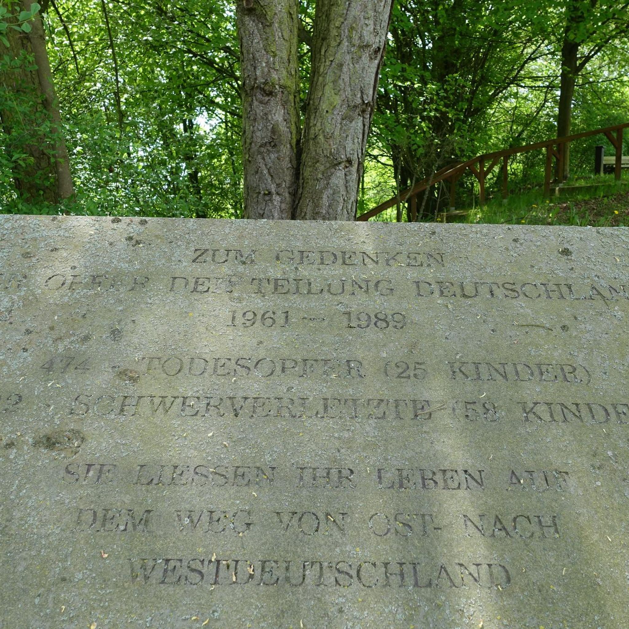



Tips from the Community

Magnificent view from this bridge over a large body of water!
0
0
A lovely bridge over the Tarn; the view from the bridge is beautiful and the bridge itself is stylish.
0
0

Lovely cold drinking water from the tap. Well needed on hot days
0
0

water in the cemetery
0
0
It's beautiful and it's atypical: everything we love! Admire the view and go to the other side on the path: beautiful view with Ambialet which is reflected in the Tarn
0
0

The Tarn valley is steep enough that leaving it involves a nice climb, 5 to 6 km with passages at 10%. And multiple routes around Ambialet.
1
0

As you come down the D74 road and around the last corner before entering town, you get a splendid view of the village of Ambialet and the old hilltop Cathar fortress. Both look as if they have naturally emerged from the local rock-bed over the past few centuries. There is one restaurant and two cafes in town as well as a cafe and small hotel just over the bridge on the other side of town.
0
0
Castle built in the middle of the 15th century. In June 1944, the resistance moved there, but on the morning of June 21, 1944, the Germans set fire to the castle and its outbuildings. Today it remains in ruins.
0
0
Frequently Asked Questions
What are the general difficulty levels of touring cycling routes in Terre-Clapier?
Terre-Clapier offers a range of touring cycling routes with varying difficulty levels. You'll find 5 easy routes, 18 moderate routes, and 31 difficult routes. The region is characterized by significant elevation changes, so even moderate routes can include challenging climbs and descents.
Are there any easy touring cycling routes suitable for beginners or families in Terre-Clapier?
Yes, there are easy touring cycling routes available. For a less strenuous option, consider the Bike loop from Fréjairolles, which is an easy 9.1 km (5.7 miles) route with minimal elevation gain, making it suitable for a relaxed ride.
What kind of terrain and scenery can I expect on touring cycling routes in Terre-Clapier?
The terrain in Terre-Clapier is predominantly hilly, featuring diverse landscapes. You can expect routes that traverse river valleys, such as those near the Tarn and Dadou rivers, and tranquil lake areas like Lac de la Bancalié. Some routes also offer views of beaches, despite the overall hilly nature of the region.
Are there many circular touring cycling routes available in Terre-Clapier?
Yes, many of the touring cycling routes in Terre-Clapier are designed as loops, allowing you to start and finish at the same point. Examples include the popular Lac de la Bancalié loop from Saint-Antonin-de-Lacalm and the Lunch break – View of Ambialet loop from Villefranche-d'Albigeois.
What are the typical distances for touring cycling routes in Terre-Clapier?
Touring cycling routes in Terre-Clapier vary significantly in distance. You can find shorter routes like the 9.1 km (5.7 miles) Bike loop from Fréjairolles, up to longer, more challenging rides such as the 55.7 km (34.6 miles) Plage de La Maurinié – Plage du Tarn Marsal loop from Fréjairolles.
When is the best time of year to go touring cycling in Terre-Clapier?
Given the region's varied terrain and potential for significant elevation, spring and autumn generally offer the most pleasant conditions for touring cycling in Terre-Clapier, with milder temperatures. Summer can be enjoyable, but be prepared for warmer weather, especially on longer climbs. Winter cycling might be possible, but conditions can be more challenging.
What can I see along the touring cycling routes in Terre-Clapier?
Many routes offer scenic views and pass by notable attractions. You might encounter views of the Tarn and Dadou rivers, or cycle around Lac de la Bancalié. Specific highlights in the broader area include the View of Ambialet, and the Arifat Waterfalls. Some routes also incorporate sections of greenways like the Castres–Albi Greenway.
Are there any specific landmarks or points of interest to look out for while cycling?
Beyond the natural beauty, you can look for specific points of interest. The Lunch break – View of Ambialet loop from Villefranche-d'Albigeois offers views of Ambialet. The region also features the Arifat Waterfalls, which can be a rewarding detour or destination.
What do other touring cyclists enjoy the most about touring cycling in Terre-Clapier?
The area is highly rated by the komoot community, with an average score of 4.6 stars from over 30 reviews. Reviewers often praise the challenging hilly terrain, the scenic river valleys, and the tranquil lake areas, highlighting the diverse and rewarding cycling experience.
Is public transport available to access touring cycling routes in Terre-Clapier?
While specific public transport links directly to trailheads are not detailed, the region is generally accessible. For planning your journey, it's advisable to research local bus or train services to nearby towns like Fréjairolles or Villefranche-d'Albigeois, and then cycle to your desired starting point.
Are there any routes that offer views of rivers or lakes?
Absolutely. The region is known for its water features. The Plage de La Maurinié – Plage du Tarn Marsal loop from Fréjairolles provides views of the Tarn river. For lakeside cycling, the Lac de la Bancalié loop from Saint-Antonin-de-Lacalm offers scenic paths around the lake. You can also find routes that cross or run alongside the Dadou river, such as the Bridge over the Dadou loop from Château de Grandval.
Most popular routes around Terre-Clapier
Most popular attractions around Terre-Clapier

Get inspired with the komoot mobile app


Explore more
Browse the best Cycling routes in other regions.
