The best walks and hikes around Villars-Sur-Var
4.4
(123)
868
hikers
44
hikes
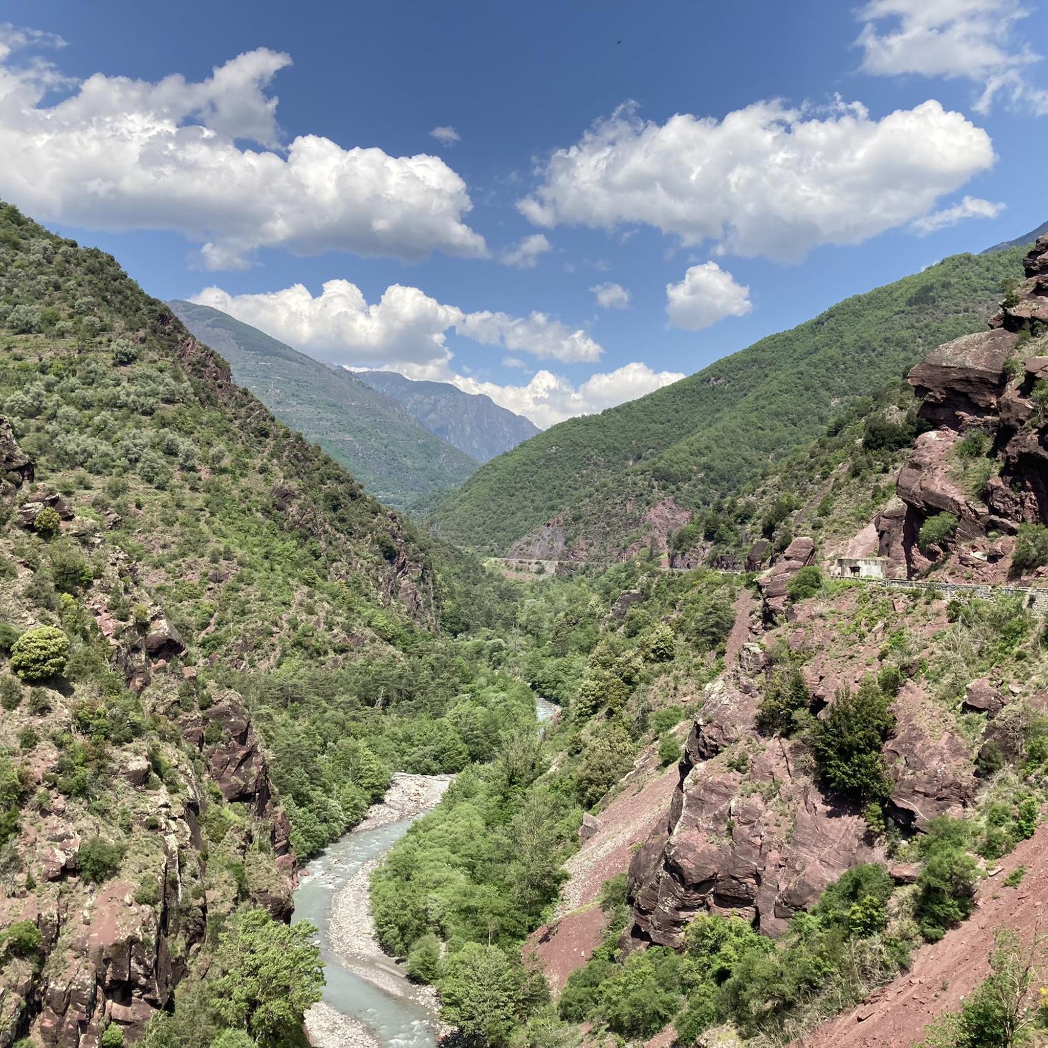
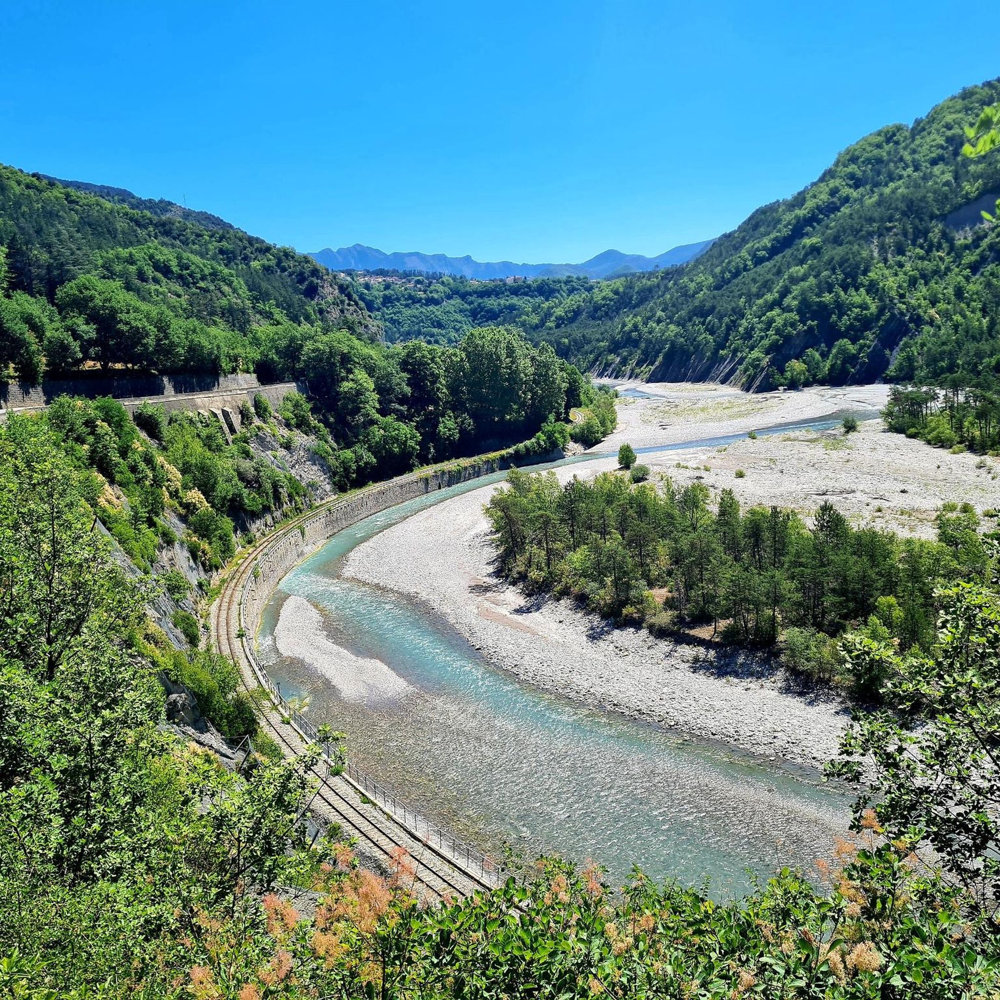
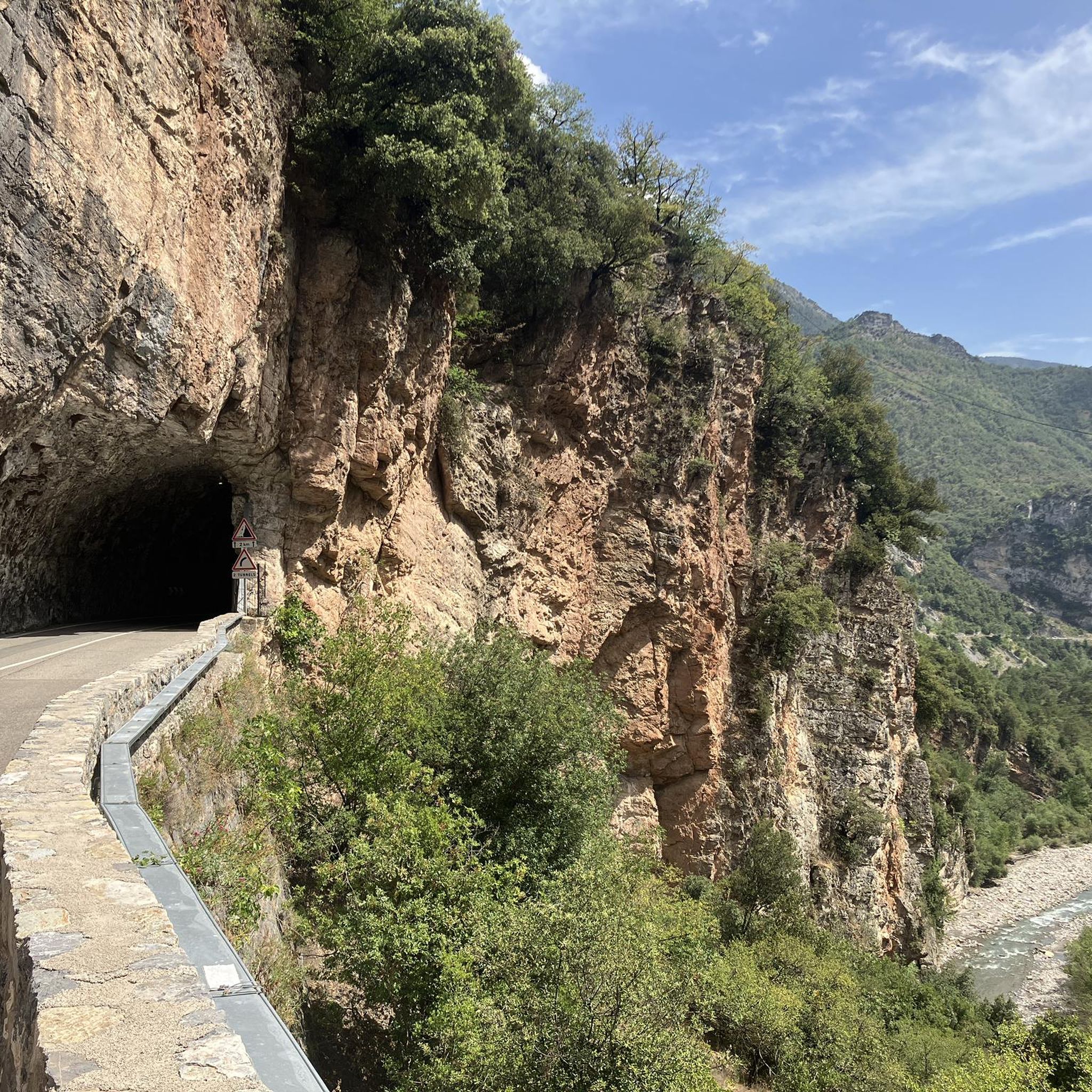
Hiking around Villars-Sur-Var offers diverse landscapes within the Alpes-Maritimes department, characterized by the Var valley and its river. The terrain features deep valleys, impressive gorges with distinct rock formations, and thick pine forests covering slopes. Hikers encounter varied scenery, from river views to panoramic mountain vistas, including parts of the Mercantour National Park.
Best hiking trails around Villars-Sur-Var
- The most popular hiking route is Thiéry Village loop from Thiéry, a 7.5 miles (12.2 km) trail that takes 4 hours…
Last updated: June 25, 2026
5.0
(1)
9
hikers
12.2km
04:04
580m
580m
Moderate hike. Good fitness required. Easily-accessible paths. Suitable for all skill levels.
5.0
(1)
8
hikers
17.4km
07:03
1,290m
1,290m
Hard hike. Very good fitness required. Mostly accessible paths. Sure-footedness required.

Sign up for free
4.0
(1)
8
hikers
17.1km
06:14
1,020m
1,020m
Hard hike. Very good fitness required. Easily-accessible paths. Suitable for all skill levels.
5.0
(1)
7
hikers
10.9km
03:35
480m
490m
Moderate hike. Good fitness required. Easily-accessible paths. Suitable for all skill levels.
3.0
(1)
10
hikers
14.6km
05:34
890m
890m
Hard hike. Very good fitness required. Sure-footedness, sturdy shoes and alpine experience required.
Get access to more routes and recommendations from other explorers.
Sign up for free
Already have an account?
Our route recommendations are based on thousands of hikes, rides, and runs completed by other people on komoot.
Start today with a free account
Your next adventure awaits.
Login or Signup
Tips from the Community


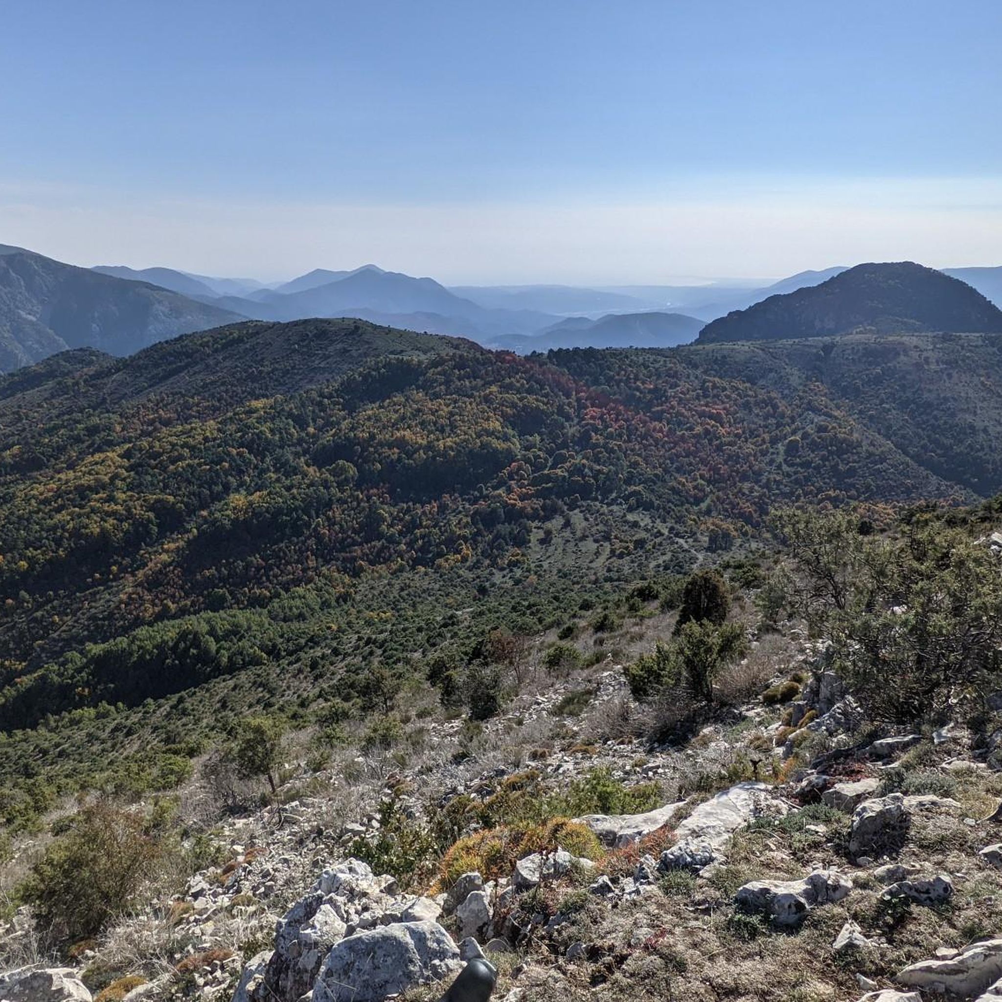
autumn colors and first snows
0
0
very beautiful view of this village perched on the rocks
0
0

Exploring the village of Thiery is very interesting, small streets, narrow stairs, great view from the platform!
0
0

Very nice view of the Plaine du Var / Nice and 360° around.
0
0

Culminating at 1550 meters, Mont Vial is one of the few peaks that can be identified from the sea. From the top, enjoy the beautiful panoramic view of the neighboring peaks!
0
0

Frequently Asked Questions
How many hiking trails are available around Villars-Sur-Var?
There are over 45 hiking routes around Villars-Sur-Var, catering to various skill levels. This includes 3 easy routes, 22 moderate routes, and 20 difficult routes, ensuring options for everyone from casual walkers to experienced mountaineers.
What kind of landscapes can I expect to see while hiking in Villars-Sur-Var?
The region offers a diverse tapestry of scenery. You'll encounter the deep Var valley and river, impressive gorges with distinct rock formations, and thick pine forests. Many trails provide panoramic mountain views, including glimpses of the Mercantour National Park, and on clear days, even the sea from higher elevations like the Cime des Collettes.
Are there any family-friendly hiking options in Villars-Sur-Var?
Yes, Villars-Sur-Var offers several easy walks suitable for families, typically up to 2 hours in duration with minimal elevation gain. The Canal du Moulin route is a unique option, following an old water canal with picturesque views of the Espignole River gorges and no significant elevation changes, making it ideal for a leisurely family outing.
Are there any trails with waterfalls or opportunities for wild swimming?
Absolutely. The region boasts a particularly inviting natural attraction: a beautiful waterfall accessible via a trail that crosses a river. Along this route, you'll find several basins that offer opportunities for a refreshing dip, perfect for cooling off on a warm day.
What are some notable landmarks or attractions I can see on a hike?
Hikers can explore several interesting features. You might encounter the impressive Gorges du Cians, or enjoy the panoramic views from Mont Vial. The area also features historical sites like the Fort du Pic Charvet, offering a blend of natural beauty and heritage.
Are there any circular hiking routes available?
Yes, many trails in Villars-Sur-Var are designed as loops. Popular circular routes include the Thiéry Village loop from Thiéry, the challenging Pointe des Quatre Cantons loop from Le Puy, and the scenic A feast for the eyes loop from Bairols.
What is the general difficulty level of hiking trails in Villars-Sur-Var?
The trails range from easy walks (up to 2 hours, 1,000 ft elevation gain) to moderate hikes (up to 5 hours, 3,000 ft elevation gain) and difficult excursions (more than 5 hours or 3,000 ft elevation gain). Difficult routes often require good fitness, sure-footedness, sturdy shoes, and some alpine experience.
What do other hikers say about the trails in Villars-Sur-Var?
The hiking routes in Villars-Sur-Var are highly rated by the komoot community, with an average score of 4.4 stars from over 100 reviews. Hikers often praise the diverse terrain, stunning natural features like the Var valley and gorges, and the well-marked paths that cater to various abilities.
Are there any trails that offer views of snow-capped peaks?
Yes, some higher elevation trails provide spectacular views. For instance, the View of the Snow-Capped Peaks – Massoins Village loop from Bairols is a challenging route that leads through varied mountain terrain, often rewarding hikers with distant views of snow-capped summits.
Where do hiking trails typically start from in Villars-Sur-Var?
Many trails, particularly those leading to Chapelle St. Jean, Sarzit, Thiery, Suyet, and Baisse de St-Antoine, start by ascending the steep, narrow cobblestone-stepped streets directly from the village center. Other routes, like those towards Massoins and Circuit des Gravières, can be accessed via the D26 road overlooking the Gravières valley.
What are the prominent natural features of the Var valley that hikers will encounter?
The Var valley is characterized by its deep river gorges, where the sound of the rushing Var river can be heard. Hikers will traverse diverse flora, including acacia, fig, maple, and poplar trees, with thick pine forests covering the opposing slopes. The valley's unique geology also presents impressive rock folds and formations.
Are there any long-distance hiking trails that pass through Villars-Sur-Var?
Yes, Villars-Sur-Var is connected to broader regional hiking networks, as a Grande Randonnée trail passes through the village. This indicates its significance as a point on longer, established trekking routes.
Most popular attractions around Villars-Sur-Var

Get inspired with the komoot mobile app


Explore more
Browse the best Hikes in other regions.
