The 5 Most Amazing Peaks around Malaussène
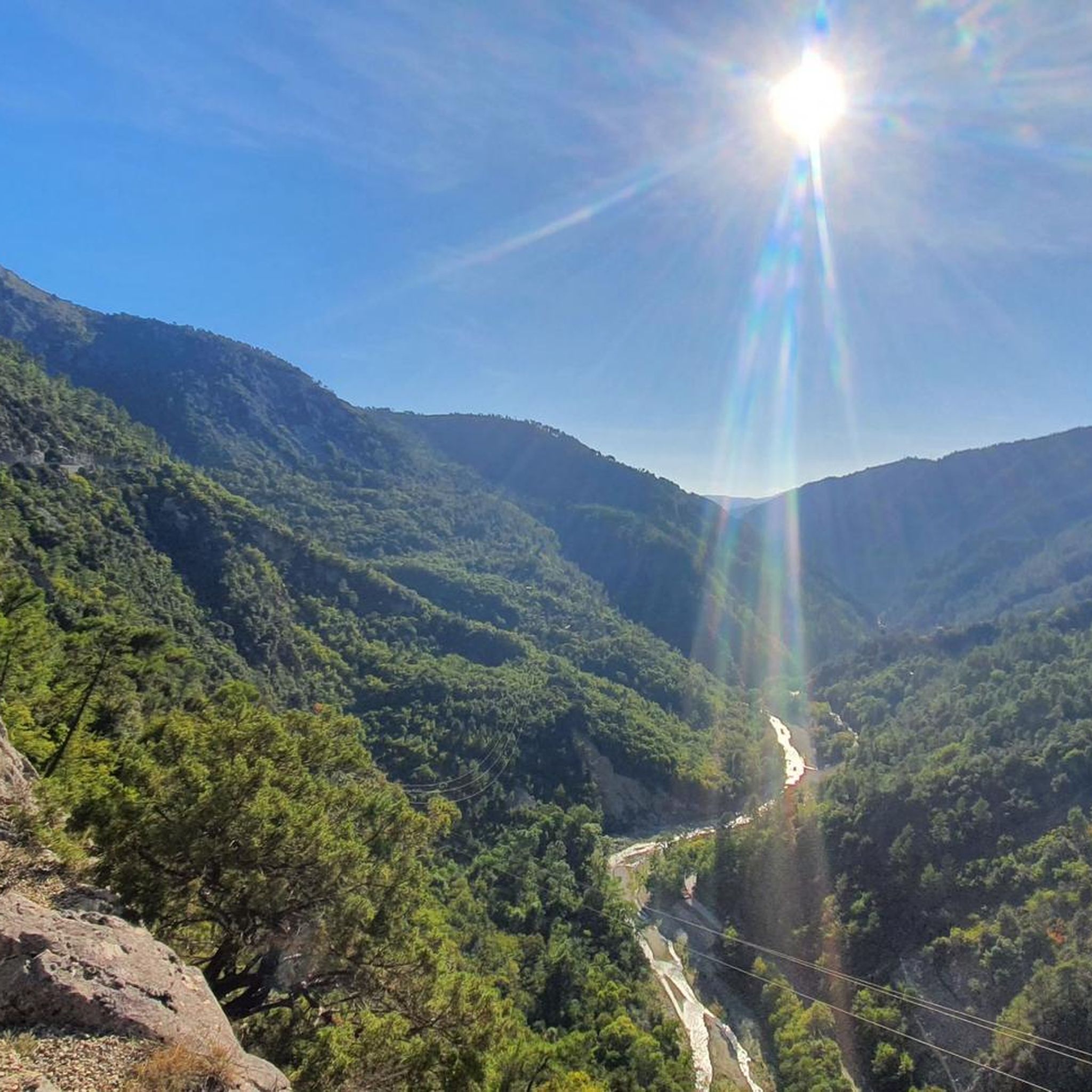
Best mountain peaks around Malaussène are found in a rural mountain commune within the Alpes-Maritimes department of France, situated in the Massif des Alpes. The village is perched in a mountainous setting within the Var Valley, characterized by rugged mountains and elevated terrain. This region offers numerous opportunities for hiking and experiencing the natural beauty of the landscape. Visitors are drawn to the area for its rural charm and outdoor activities in a mountainous environment.
Best mountain peaks around Malaussène
…Last updated: August 23, 2026
Férion Summit
Highlight • Summit
Translated by Google •
Tip by

Mont Vial
Highlight • Summit
Translated by Google •
Tip by
Sign up now to discover places like this
Get recommendations on the best single tracks, peaks, & plenty of other exciting outdoor places.
Sign up for free
Brec d'Utelle
Highlight • Summit
On a clear day, it offers an unforgettable panorama of the Mercantour, the Côte d'Azur and the surrounding valleys (Var, …
Translated by Google •
Tip by

Mont Férion Watchtower Shelter
Highlight • Mountain Hut
Translated by Google •
Tip by

Start today with a free account
Your next adventure awaits.
Login or Signup
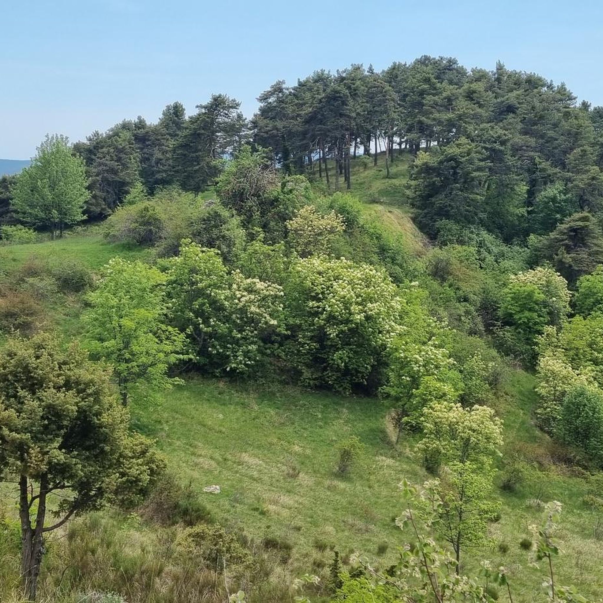
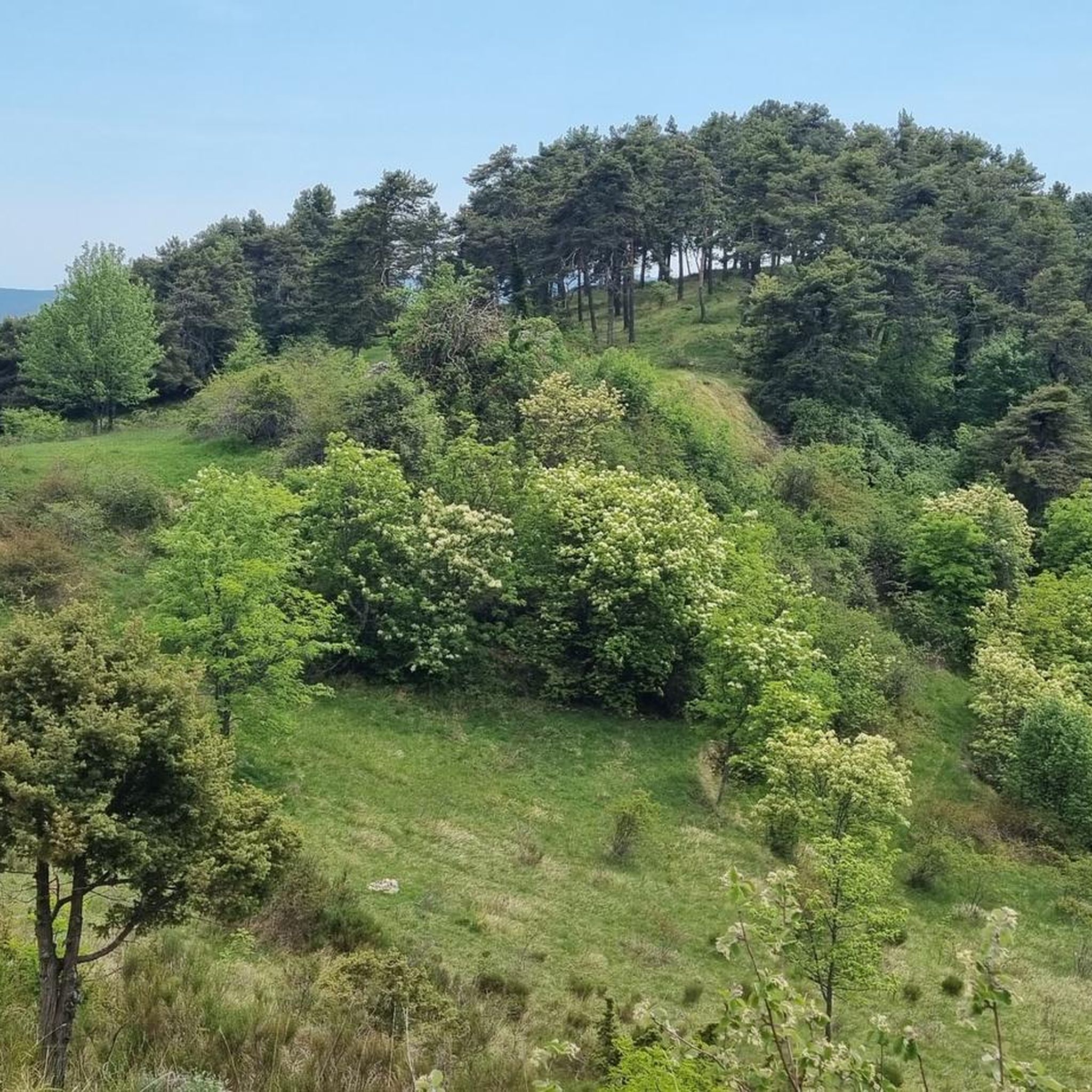
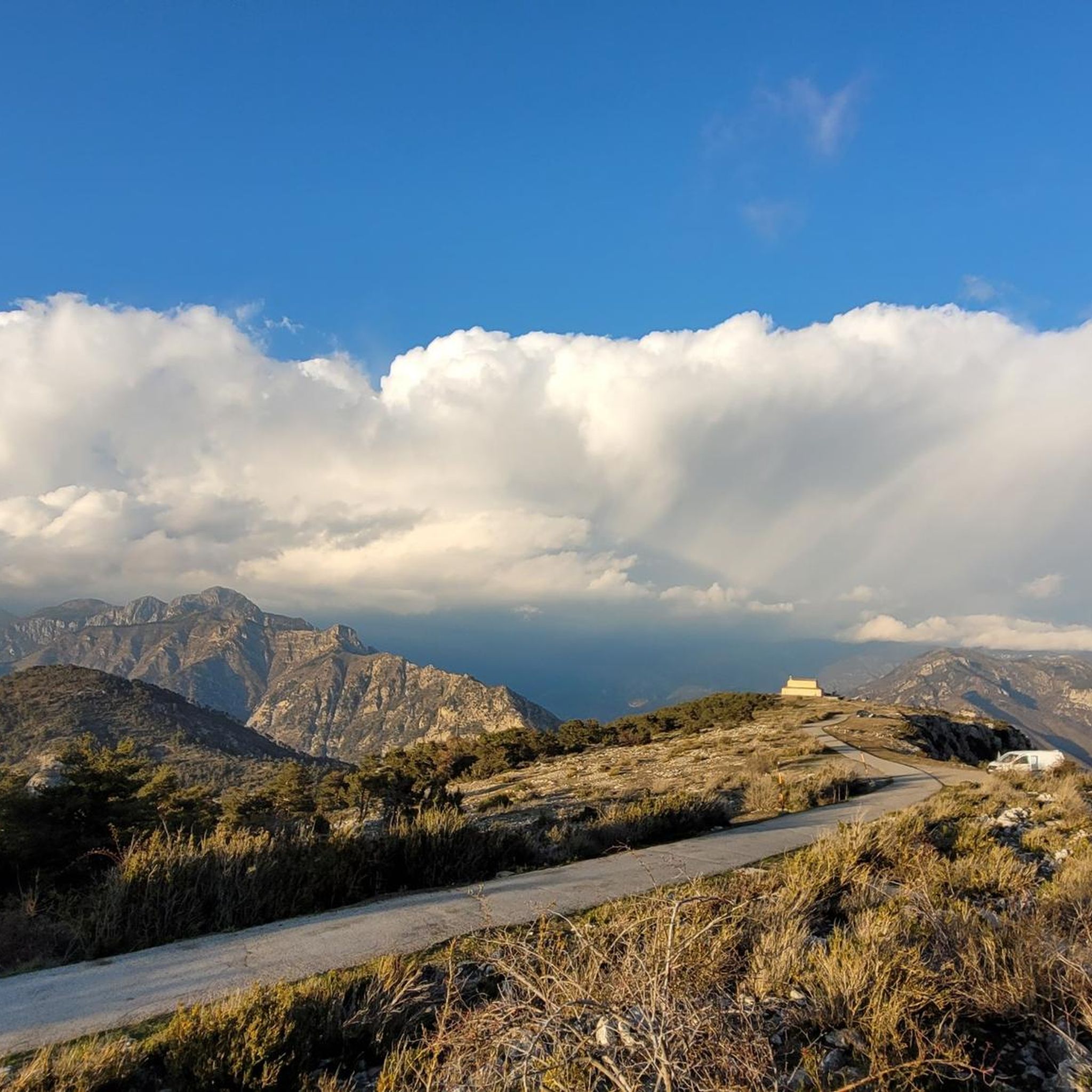
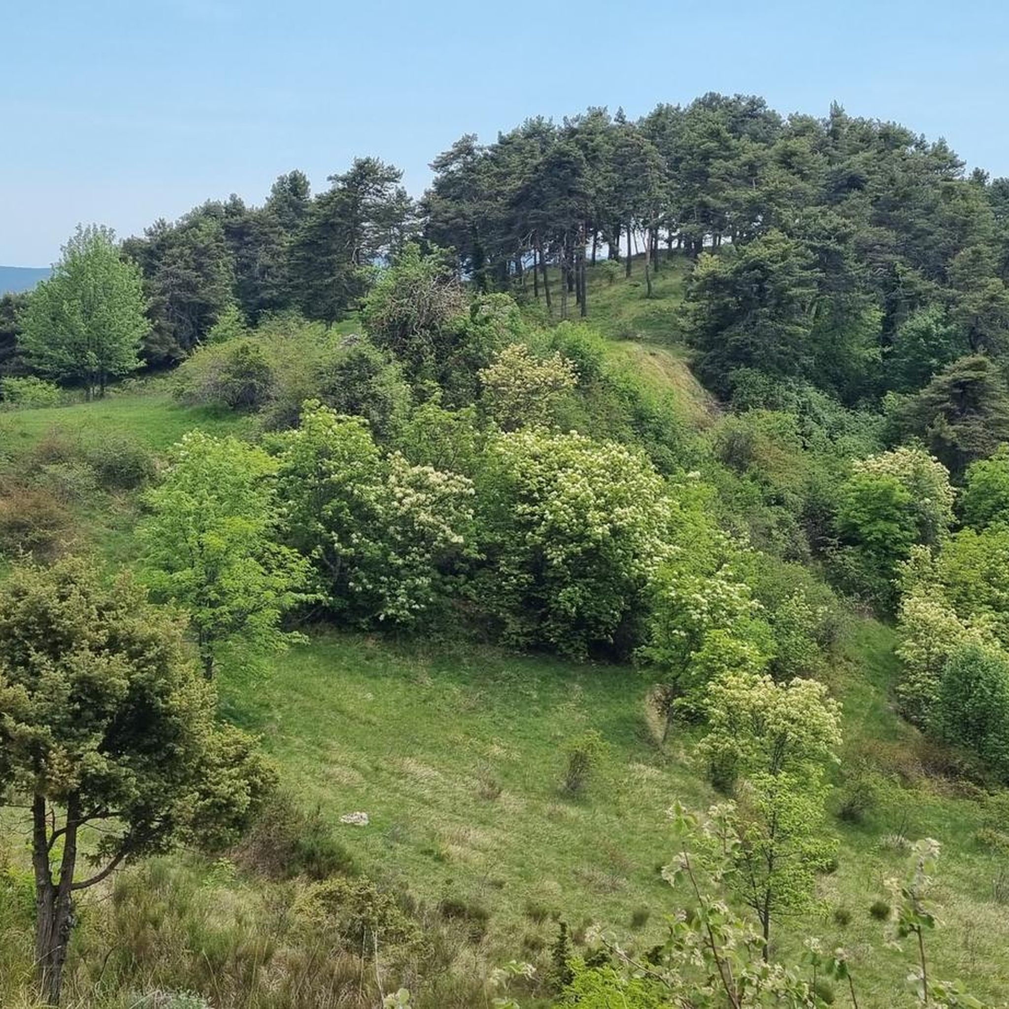

Tips from the Community

Accessible by gravel (40mm tyres) or by mountain bike, the summit of Mont Férion (1412m) will be your finish line if you are a cyclist in full climb. Your reward will be the panoramic view: from the Alps and the Mercantour, to the Mediterranean, passing through the Paillon valley and the Var valley. You will find a watchtower which serves as a lookout to protect the massifs against fire and even houses a small refuge on the ground floor of the tower with a fireplace to warm walkers in difficulty.
0
0
The watchtower of Mont Férion (1412m), will be your finish line if you are a cyclist in full ascent of Férion. It also serves as a lookout to protect the massifs against fire and even houses a small refuge on the ground floor of the tower with a fireplace to warm walkers in difficulty. The view at the top is panoramic: from the Alps and the Mercantour, to the Mediterranean via the Paillon valley and the Var valley.
0
0

Very nice view of the Plaine du Var / Nice and 360° around.
0
0

The Brec d'Utelle is a summit culminating at 1,604 meters. On a clear day, it offers an unforgettable panorama of the Mercantour, the Côte d'Azur and the surrounding valleys (Var, Tinée, Vésubie). Note that "brec", a name of Gallic origin, means "point of rock", "peak", or "steep place".
0
0

Culminating at 1550 meters, Mont Vial is one of the few peaks that can be identified from the sea. From the top, enjoy the beautiful panoramic view of the neighboring peaks!
0
0

Mont Férion (1,412 m) dominates the village of Levens. This is the highest point of the Férion range. The building at the top is a necessary DFCI watchtower due to the fire tendency in the area.
3
0

A nice scenic route between the Italian and French border
0
0
Frequently Asked Questions
What kind of views can I expect from the mountain peaks near Malaussène?
The peaks around Malaussène offer diverse and expansive panoramas. From Férion Summit, you can enjoy a 360° view stretching from the Alps to the Mediterranean. Brec d'Utelle provides an unforgettable panorama of the Mercantour, the Côte d'Azur, and the surrounding Var, Tinée, and Vésubie valleys. Mont Vial, identifiable even from the sea, offers a beautiful panoramic view of neighboring peaks and the Plaine du Var.
What is the typical terrain and difficulty for hiking around Malaussène's peaks?
The terrain around Malaussène is characterized by rugged mountains and elevated landscapes. Hiking difficulty ranges from accessible paths to more challenging ascents. For instance, the ascent to Férion Summit involves a sunny track leading to a steep and winding shaded path through a pine forest. The area caters to various fitness levels, from intermediate trails like the 'Malaussène d'en Haut et Bergerie des Deux Cyprès' to more demanding routes.
Are there challenging routes for experienced hikers near Malaussène?
Yes, experienced hikers will find challenging routes. The region's rugged mountains and elevated terrain offer demanding ascents. For example, the path to Férion Summit includes steep sections. Many of the nearby cycling and MTB routes are also rated as 'difficult', suggesting the mountainous landscape provides ample challenge for those seeking advanced outdoor experiences.
What other outdoor activities can I do near Malaussène's peaks?
Beyond hiking, the mountainous environment around Malaussène is excellent for various outdoor activities. You can explore numerous cycling routes, including touring bicycle, mountain biking (MTB), and road cycling. For example, there are challenging MTB routes like 'Mont Vial depuis Gilette en boucle' and scenic road cycling tours such as 'Isola Village – Col de la Lombarde loop'. You can find more details on these activities in the Cycling around Malaussène, MTB Trails around Malaussène, and Road Cycling Routes around Malaussène guides.
What is the best time of year to visit the mountain peaks around Malaussène?
While specific seasonal recommendations for peak hiking aren't detailed, the Alpes-Maritimes region generally offers pleasant conditions for outdoor activities during spring, summer, and early autumn. The presence of a refuge at Férion Summit suggests that conditions can be cold, making warmer months ideal for comfortable exploration. Always check local weather conditions before planning your trip.
Are there any facilities or shelters available on the mountain peaks?
Yes, at Férion Summit, there is a small refuge located on the ground floor of the DFCI watchtower. It includes a fireplace, offering a place for walkers to warm up. This can be a valuable facility, especially during cooler weather or unexpected changes in conditions.
What natural features can I observe while exploring the peaks near Malaussène?
The region is rich in natural beauty. You can expect to see rugged mountain landscapes, pine forests where thyme blooms, and diverse flora. The panoramic views from peaks like Férion Summit, Brec d'Utelle, and Mont Vial showcase the vastness of the Massif des Alpes, the Var Valley, and the distant Mediterranean Sea.
What makes Malaussène itself an interesting starting point for exploring the peaks?
Malaussène is described as an isolated perched medieval village, offering rural charm and a scenic, elevated position within the Var Valley. Its location provides immediate access to a mountainous setting, making it an ideal base for those looking to explore the surrounding rugged terrain and natural beauty. The village's character adds to the overall experience of visiting the region's peaks.
How accessible are the mountain peaks for different types of visitors?
The peaks offer varying levels of accessibility. While some routes involve steep and winding paths, others are accessible by gravel bike or mountain bike, such as the service road leading to Mont Vial. The overall terrain difficulty ranges, suggesting options for both casual explorers and more adventurous hikers or cyclists. Public transport options to Malaussène itself would be a factor in overall accessibility to the trailheads.
What do visitors enjoy most about the mountain peaks around Malaussène?
Visitors particularly appreciate the stunning panoramic views offered by the peaks, with 39 upvotes and 10 photos shared by the komoot community. The ability to see from the Alps to the Mediterranean, or the Mercantour and Côte d'Azur, is a major draw. The natural beauty, the challenge of the ascents, and the rural charm of the surrounding area also contribute to a highly valued experience.
Are there any specific landmarks or features to look out for on the peaks?
Yes, several peaks feature notable landmarks. At Férion Summit, you'll find a DFCI watchtower, which also houses a small refuge. Mont Vial is distinctive enough to be identified from the sea. These features not only serve practical purposes but also add character to the mountain landscapes.
Most popular routes around Malaussène
Most popular attractions around Malaussène

Get inspired with the komoot mobile app


Explore more
See even more amazing summits around Malaussène with these guides:
