The best MTB trails around Bairols
4.5
(26)
151
riders
5
rides
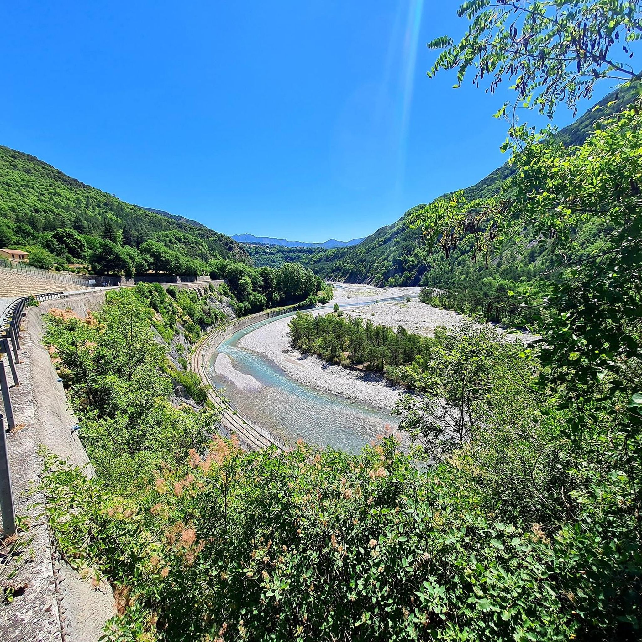
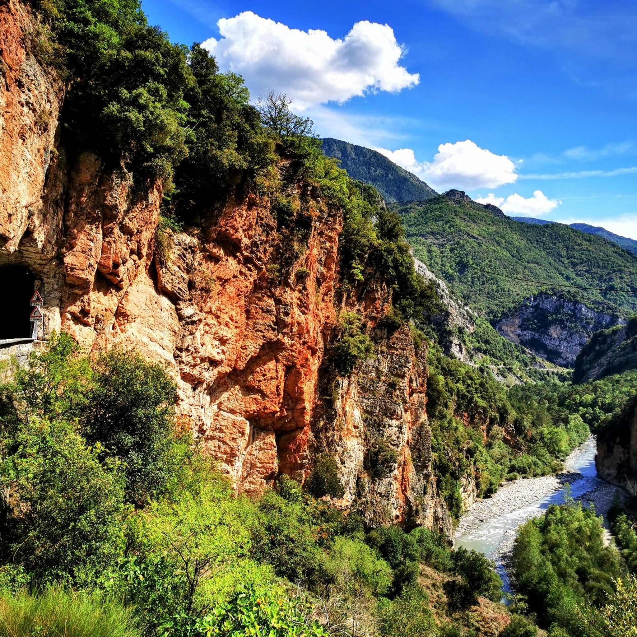
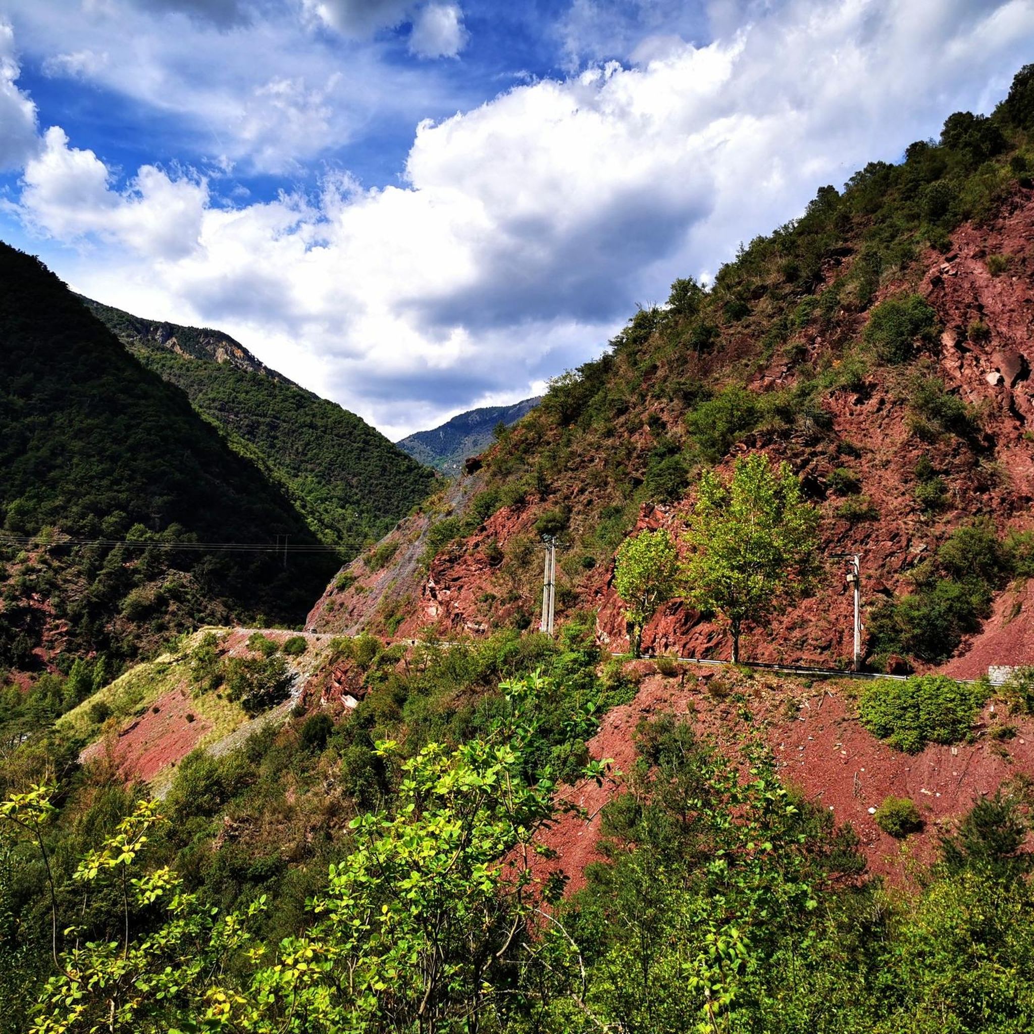
Mountain biking around Bairols features challenging routes through mountainous terrain. The region is characterized by significant elevation changes, with routes often traversing high mountain passes and rugged landscapes. Riders can expect a mix of climbs and descents, offering varied experiences across the area. The trails provide access to remote valleys and elevated viewpoints.
Best mountain bike trails around Bairols
- The most popular mountain bike trail is Mont Viroulet and Col de la Séréna Loop, a 13.2 miles (21.2 km)…
Last updated: October 12, 2026
21.2km
03:26
1,490m
1,470m
This difficult 13.2-mile mountain bike loop in Mercantour National Park offers technical singletrack and alpine views for advanced riders.
4.7
(15)
73
riders
34.1km
03:33
1,110m
1,110m
Hard mountain bike ride. Very good fitness required. Advanced riding skills necessary.

4.3
(3)
16
riders
18.4km
02:22
900m
900m
Hard mountain bike ride. Good fitness required. Advanced riding skills necessary. Some portions of the route may require you to push your bike.
5.0
(1)
20
riders
28.7km
04:07
1,430m
1,420m
Hard mountain bike ride. Very good fitness required. Advanced riding skills necessary. Some portions of the route may require you to push your bike.
3.0
(2)
10
riders
14.6km
01:18
400m
390m
Moderate mountain bike ride. Good fitness required. Suitable for all skill levels.
Our route recommendations are based on thousands of hikes, rides, and runs completed by other people on komoot.
Start today with a free account
Your next adventure awaits.

Tips from the Community

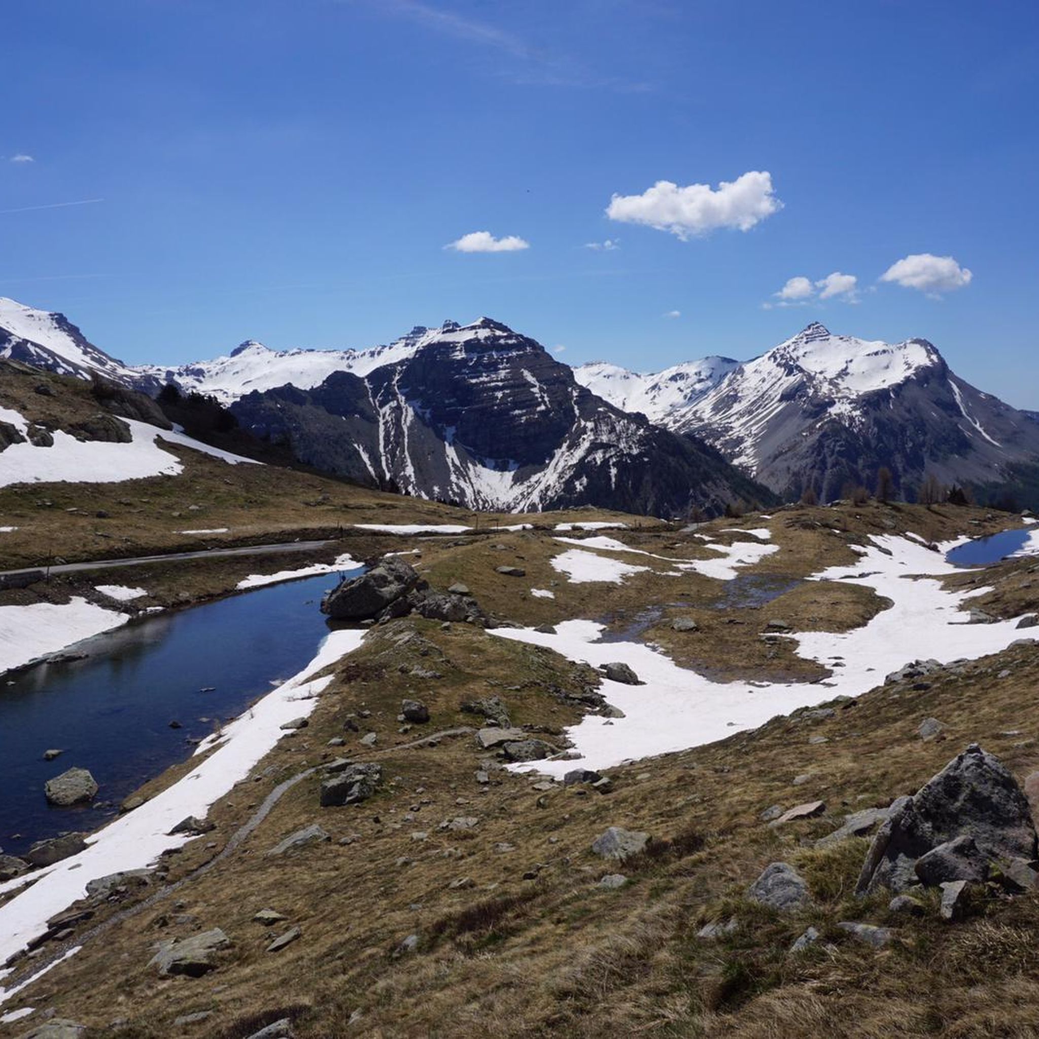
The Col Saint-Martin Pass, or Col de la Colmiane, is a mountain pass in the Southern Alps located at an altitude of 1,500 meters in the Alpes-Maritimes department of France. It provides a year-round road link between the Tinée Valley to the west and the Vésubie Valley to the east.
0
0
The Col Saint-Martin Pass, or Col de la Colmiane, is a mountain pass in the Southern Alps located at an altitude of 1,500 meters in the Alpes-Maritimes department of France. It provides a year-round road link between the Tinée Valley to the west and the Vésubie Valley to the east.
0
0

In July during the week there was almost no traffic, making it a completely relaxed drive up.
0
0

Rest area with several benches and tables. The refreshing water point here is perfect for filling up your water bottles or just cooling off.
1
0
The driveway from the car park is a relatively wide path with lots of gravel and, further up, also coarser scree. After days of rain, small streams can also form. Partly quite steep with up to 13-15%
0
0

The Col Saint Martin is an alpine pass which connects the Vésubie valley to the Tinée valley. It peaks at 1,500 meters above sea level. Enjoy the spectacular panorama, with views of the mountains of the Mercantour national park and the Tinée and Vésubie valleys.
0
0

This picnic area is a few steps from the forest cabin and the Collet du Puei. It’s a great place to stop in the middle of a hike.
1
0

The Col de la Colmiane, also known as Col Saint-Martin, peaks at 1,500 meters above sea level. This climb was featured in the 2018 Paris-Nice race on stage 7.
0
0
Frequently Asked Questions
What is the general difficulty level of mountain bike trails in Bairols?
Mountain biking around Bairols is characterized by challenging routes through mountainous terrain. The majority of trails are rated as difficult, with one moderate option available. Riders should expect significant elevation changes, rugged landscapes, and a mix of climbs and descents.
Are there any easy or beginner-friendly mountain bike trails in Bairols?
The mountain bike trails in Bairols are generally geared towards experienced riders. While there are no easy trails, one moderate route, the Saint Dalmas – Saint-Dalmas-de-Valdeblore loop from Valdeblore, offers a less demanding option compared to the predominantly difficult terrain.
What are the typical durations for mountain bike trails in Bairols?
Trail durations in Bairols vary depending on the route's length and difficulty. For example, the moderate Saint Dalmas – Saint-Dalmas-de-Valdeblore loop from Valdeblore can be completed in about 1 hour 18 minutes, while more challenging routes like the Saint-Martin Pass (La Colmiane) – Col de la Colmiane loop from Col Saint-Martin can take around 3 hours 32 minutes.
Are there any circular mountain bike routes in Bairols?
Yes, many of the mountain bike trails in Bairols are designed as loops. Examples include the popular Mont Viroulet and Col de la Séréna Loop, the Saint Dalmas – A Thousand Rocks loop from Saint-Dalmas, and the Col de la Séréna (1,307 m) loop from Marie.
What kind of scenery can I expect on mountain bike trails around Bairols?
The trails in Bairols offer diverse and scenic views, characterized by high mountain passes, rugged terrain, and remote valleys. You can expect panoramic mountain views and varied landscapes throughout your ride.
What do other mountain bikers say about the trails in Bairols?
The mountain bike trails in Bairols are highly regarded by the komoot community, with an average rating of 4.3 stars from over 20 reviews. Riders often praise the challenging nature of the routes, the stunning mountain scenery, and the sense of adventure found in the rugged terrain.
What are some notable landmarks or attractions I might encounter on mountain bike trails near Bairols?
Many trails traverse significant mountain passes. You might encounter landmarks such as The start of Col Saint-Martin, Saint-Martin Pass (La Colmiane), or Col de Vé Gautier. These passes often offer breathtaking views and are integral to the region's mountain biking experience.
Is public transport available to access mountain bike trails in Bairols?
While Bairols is a more remote mountainous region, some trailheads may be accessible via local bus services, particularly those connecting to larger towns. However, public transport options can be limited, and it's advisable to check local schedules in advance for specific routes.
Are there any cafes or places to stop for refreshments along the mountain bike trails?
Given the rugged and remote nature of many trails in Bairols, dedicated cafes directly on the routes are uncommon. It's recommended to carry sufficient water and snacks. However, you may find small eateries or shops in the villages near trailheads, such as Saint-Dalmas or Marie, where you can refuel before or after your ride.
What is the best time of year for mountain biking in Bairols?
The best time for mountain biking in Bairols is typically from late spring to early autumn (May to October) when the weather is milder and trails are clear of snow. During these months, you'll experience more favorable conditions for tackling the region's high mountain passes and rugged terrain. Winter riding can be challenging due to snow and ice at higher elevations.
Are there any specific safety considerations for mountain biking in Bairols?
Due to the significant elevation changes and rugged terrain, mountain biking in Bairols requires a good level of fitness and technical skill. Always check weather forecasts, carry appropriate gear, and inform someone of your route. Some areas can be remote, so be prepared for self-sufficiency and potential lack of mobile signal.
Most popular attractions around Bairols

Get inspired with the komoot mobile app


Explore more
Browse the best MTB trails in other regions.
