The best road cycling routes around Clans
4.6
(90)
4,979
riders
51
rides
Road cycling around Clans is characterized by its mountainous terrain, featuring numerous challenging ascents to high mountain passes. The region's road cycling routes involve significant elevation gains, with many trails leading to cols. These routes offer sustained climbs and descents, typical of an alpine environment. The terrain is predominantly difficult, catering to experienced road cyclists.
Best road cycling routes around Clans
- The most popular road cycling route is Saint Dalmas – The start of Col Saint-Martin loop from Saint-Dalmas,…
Last updated: October 2, 2026
171
riders
45.4km
02:59
1,430m
1,430m
Hard road ride. Very good fitness required. Mostly well-paved surfaces and easy to ride.
5.0
(1)
106
riders
85.8km
05:14
2,320m
2,320m
Hard road ride. Very good fitness required. Some segments of this route may be unpaved and difficult to ride.

5.0
(1)
90
riders
87.7km
05:10
2,220m
2,220m
Hard road ride. Very good fitness required. Mostly well-paved surfaces and easy to ride.
5.0
(4)
180
riders
93.7km
05:01
1,860m
1,860m
Hard road ride. Very good fitness required. Mostly well-paved surfaces and easy to ride.
4.5
(2)
88
riders
48.4km
03:13
1,570m
1,570m
Hard road ride. Very good fitness required. Mostly well-paved surfaces and easy to ride.
Get access to more routes and recommendations from other explorers.
Already have an account?
Our route recommendations are based on thousands of hikes, rides, and runs completed by other people on komoot.
Start today with a free account
Your next adventure awaits.
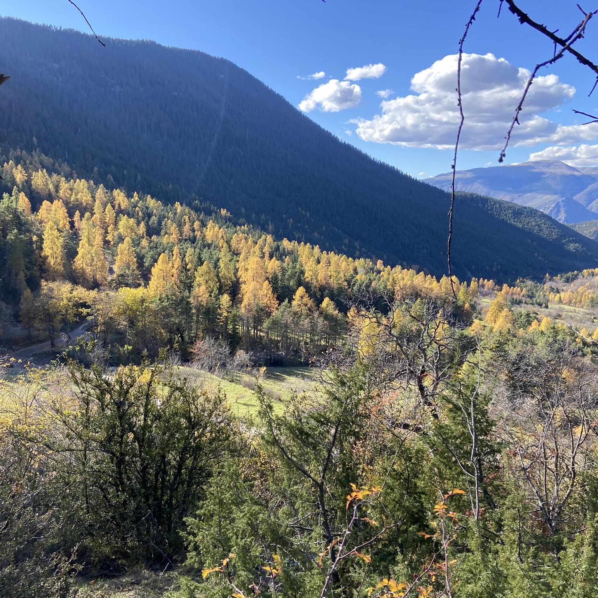
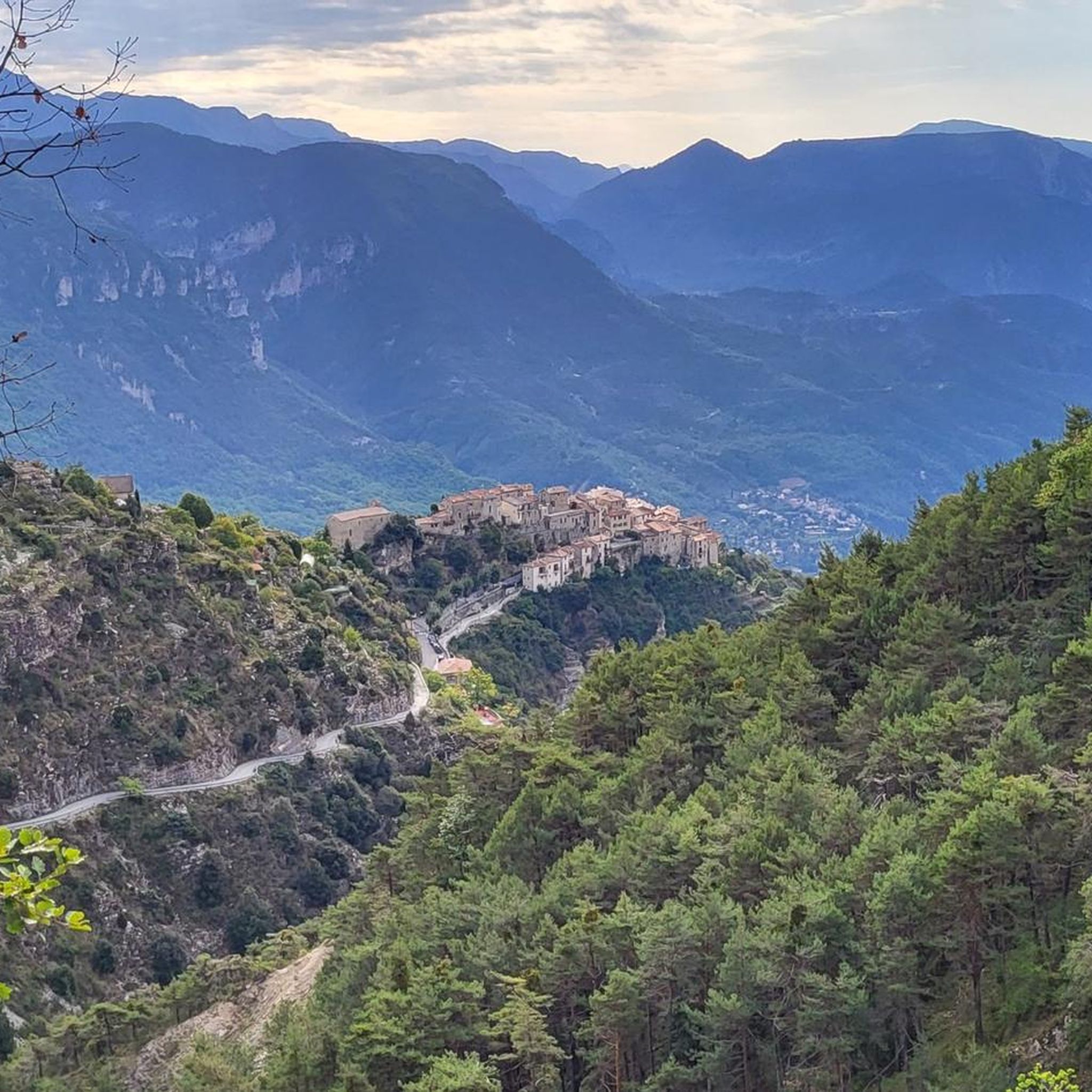
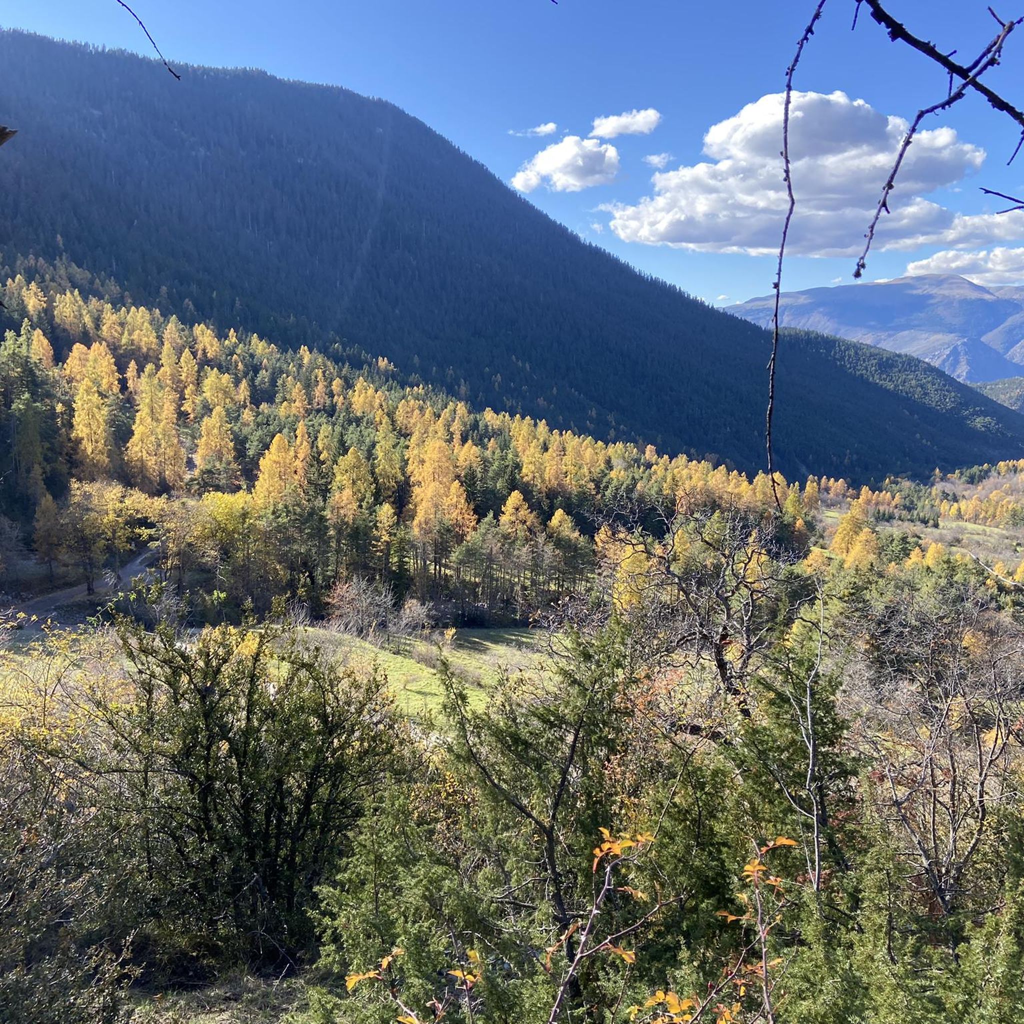
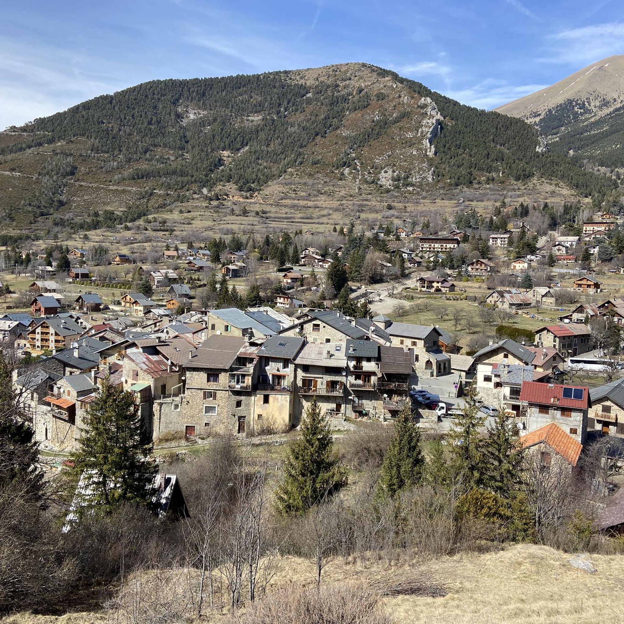

Tips from the Community

Nice lively town center, with nice opportunities to get a quick bite and take a break.
0
0

Please note, I visited on October 12, 2025 and the fountain wasn't working! Perhaps it only works in the summer?
0
0

The Col de Sainte-Anne is a pass at an altitude of 425 meters in the French department of Bouches-du-Rhône.
0
1
The Col de la Couillole is a mountain pass in the Massif du Mercantour-Argentera of the French Alps, situated at an altitude of 1,678 m (5,505 ft) in the Alpes-Maritimes department, France. The road connection is open for six to seven months of the year, allowing travel between the Cians gorges in the west and the Tinée valley in the east.
0
0
The Col Saint-Martin Pass, or Col de la Colmiane, is a mountain pass in the Southern Alps located at an altitude of 1,500 meters in the Alpes-Maritimes department of France. It provides a year-round road link between the Tinée Valley to the west and the Vésubie Valley to the east.
0
0
The Col de la Couillole is a mountain pass in the Massif du Mercantour-Argentera of the French Alps, situated at an altitude of 1,678 m (5,505 ft) in the Alpes-Maritimes department, France. The road connection is open for six to seven months of the year, allowing travel between the Cians gorges in the west and the Tinée valley in the east.
0
0
The Col Saint-Martin Pass, or Col de la Colmiane, is a mountain pass in the Southern Alps located at an altitude of 1,500 meters in the Alpes-Maritimes department of France. It provides a year-round road link between the Tinée Valley to the west and the Vésubie Valley to the east.
0
0
Col Saint Martin (el. 1500 m.) is a high mountain pass in the Alps in the department of Alpes-Maritimes in France.[1] It is traversed by the D-2205 highway.[2] The place has been crossed at the Tour de France road cycling race in 1973, 1975 and 2020, as well as at multiple editions of the Paris-Nice.
0
0
Frequently Asked Questions
What is the overall difficulty of road cycling routes around Clans?
Road cycling around Clans is characterized by its mountainous terrain, featuring numerous challenging ascents to high mountain passes. The routes involve significant elevation gains, with many trails leading to cols. The terrain is predominantly difficult, catering primarily to experienced road cyclists seeking demanding climbs. There are 46 difficult routes and 5 moderate routes, with no easy options available.
Are there any beginner-friendly road cycling routes in Clans?
The road cycling routes around Clans are generally challenging, designed for experienced cyclists. The terrain is mountainous with significant elevation gains and difficult ascents to high mountain passes. There are no easy routes available, and only 5 out of 51 routes are classified as moderate.
What kind of landmarks or viewpoints can I expect to see along the road cycling routes in Clans?
While tackling the challenging ascents around Clans, you can encounter several natural landmarks and enjoy panoramic views. Notable points of interest include Mont Vial, Lac Long, and the Panoramic View of the Tinée Valley. You might also pass by other peaks like Mont Pépoiri and Brec d'Utelle.
Are there any circular road cycling routes available in Clans?
Yes, many of the road cycling routes around Clans are designed as loops, allowing you to start and finish in the same location. Examples include the challenging Saint Dalmas – The start of Col Saint-Martin loop from Saint-Dalmas, the Col de la Couillole (1,678 m) – Col de la Couillole loop from Marie, and the Col de la Couillole – Ascent to Col de la Couillole loop from Bairols.
What do other road cyclists say about the routes in Clans?
The road cycling routes in Clans are highly rated by the komoot community, holding an average score of 4.6 stars from over 40 reviews. More than 3,000 road cyclists have used komoot to explore the varied and challenging terrain, often praising the demanding climbs and alpine environment.
What is the longest road cycling route I can find around Clans?
One of the longest and most challenging road cycling routes is the Saint Dalmas – The start of Col Saint-Martin loop from Saint-Dalmas. This trail spans 58.1 miles (93.5 km) and features a substantial climb of over 1,800 meters, typically taking around 5 hours to complete.
Are there any family-friendly or dog-friendly cycling options in Clans?
Given the mountainous terrain and the prevalence of difficult routes with significant elevation gains, the road cycling options around Clans are not typically considered family-friendly or suitable for cycling with dogs. The routes are primarily designed for experienced road cyclists seeking challenging ascents.
How many road cycling routes are available in the Clans area?
There are over 50 road cycling routes available around Clans, offering a wide range of challenging options for experienced cyclists. Specifically, there are 51 routes listed, with 46 classified as difficult and 5 as moderate.
What are some of the most challenging climbs around Clans?
Clans is known for its challenging climbs to high mountain passes. Notable ascents include the climb to Col Saint-Martin, featured in the Saint Dalmas – The start of Col Saint-Martin loop from Saint-Dalmas route with over 1,800 meters of elevation. Another significant challenge is the ascent to Col de la Couillole, which can be experienced on routes like the Col de la Couillole – Ascent to Col de la Couillole loop from Bairols, involving over 2,200 meters of elevation gain.
Are there any less crowded road cycling paths in Clans?
While specific data on route popularity varies, the region's focus on challenging alpine terrain means that many routes offer a sense of solitude, especially outside of peak cycling seasons. Exploring some of the less-known difficult routes might lead to a more secluded experience compared to the most popular loops.
What is the best time of year to go road cycling in Clans?
Given the mountainous terrain and high mountain passes, the best time for road cycling in Clans is typically during the warmer months, from late spring through early autumn. This period generally offers more favorable weather conditions and ensures that higher elevation passes are clear of snow and ice.
Are there any amenities like cafes or accommodation along the road cycling routes in Clans?
While the guide focuses on the routes themselves, road cycling in mountainous regions like Clans often means that amenities such as cafes, pubs, or accommodation are primarily found in the villages or towns at the start or end points of the routes, or in larger settlements within the valleys. It's advisable to plan your stops and carry sufficient supplies for longer stretches between villages.
Most popular attractions around Clans

Get inspired with the komoot mobile app


Explore more
Browse the best Road cycling routes in other regions.
