The best road cycling routes around Roubion
4.5
(60)
4,930
riders
36
rides
Road cycling routes around Roubion traverse dramatic landscapes characterized by deep valleys, towering mountains, and extensive larch forests. The region features significant ascents like the Col de la Couillole and Col Saint-Martin, offering challenging climbs through picturesque scenery. Cyclists can explore the striking red schist Cians Gorge and the scenic Tinée Valley, with routes often winding through mountainous terrain. Roubion's strategic location provides access to varied road cycling experiences, from winding valley roads to high mountain passes.
Best road cycling…
Last updated: June 29, 2026
4.0
(2)
172
riders
69.0km
04:37
2,310m
2,310m
This difficult 42.9-mile road cycling loop tackles the challenging Col de la Couillole and the stunning red canyons of Gorges du Cians.
5.0
(5)
246
riders
88.9km
05:46
2,740m
2,740m
Hard road ride. Very good fitness required. Mostly well-paved surfaces and easy to ride.

Sign up for free
284
riders
8.57km
00:29
200m
200m
Easy road ride. Great for any fitness level. Mostly well-paved surfaces and easy to ride.
5.0
(1)
266
riders
44.0km
02:45
1,240m
1,250m
Hard road ride. Very good fitness required. Some segments of this route may be unpaved and difficult to ride.
218
riders
14.6km
00:48
300m
300m
Moderate road ride. Good fitness required. Mostly well-paved surfaces and easy to ride.
Get access to more routes and recommendations from other explorers.
Sign up for free
Already have an account?
Our route recommendations are based on thousands of hikes, rides, and runs completed by other people on komoot.
Start today with a free account
Your next adventure awaits.
Login or Signup
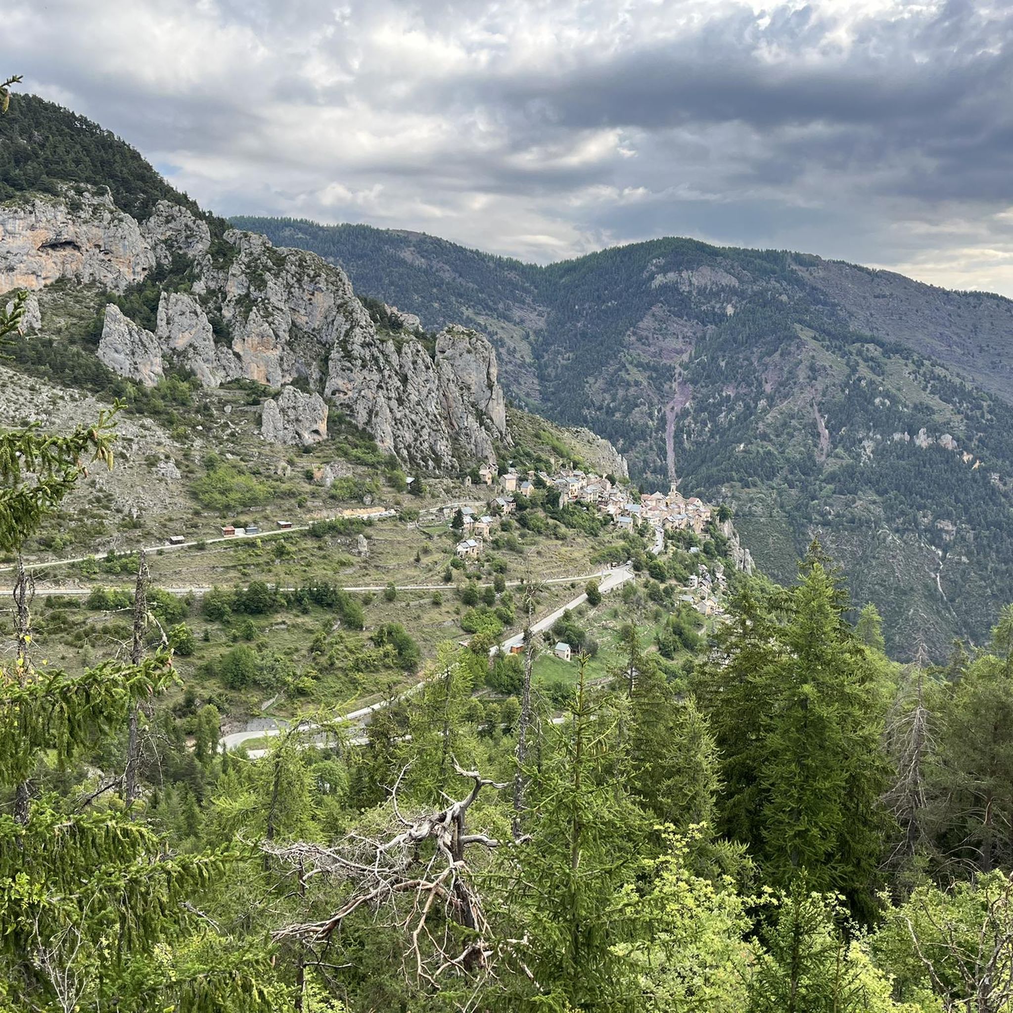
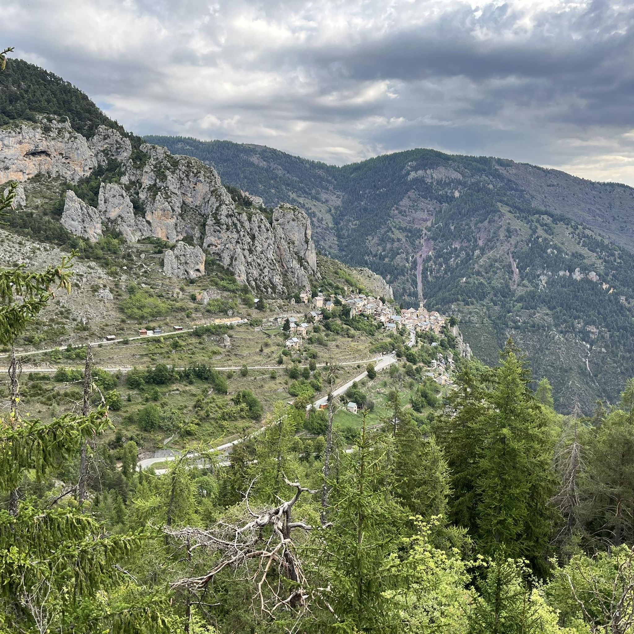
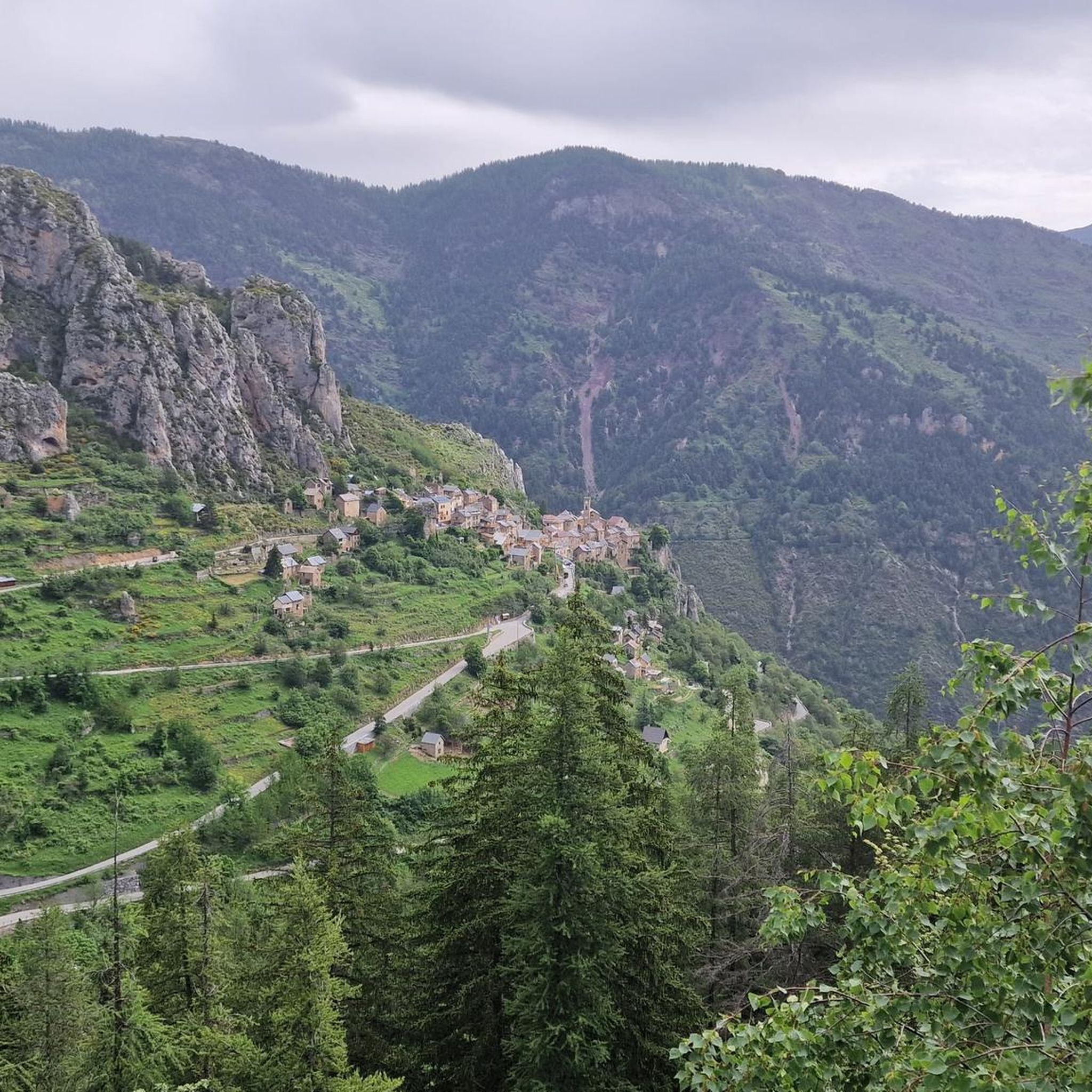
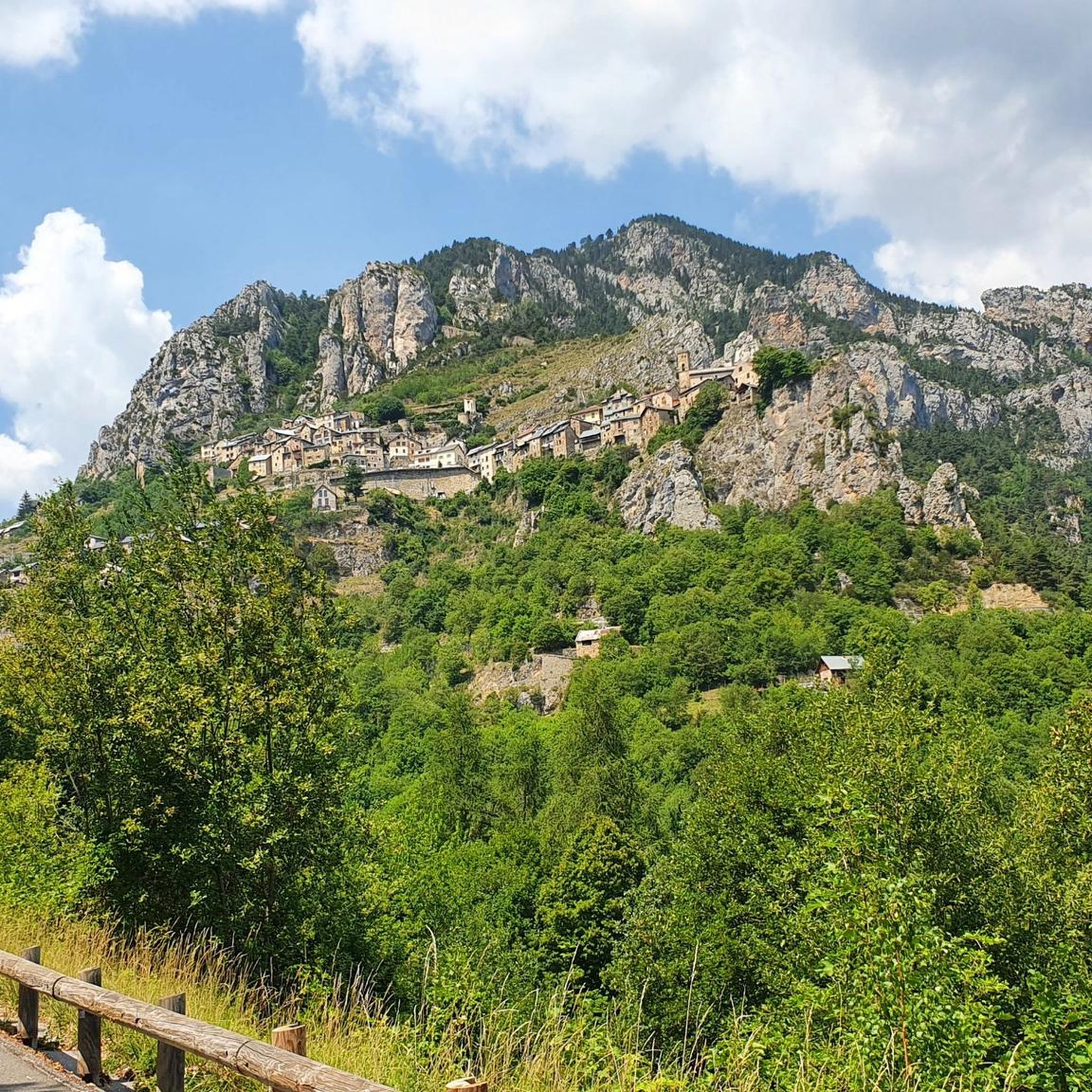

Tips from the Community

The Col de la Couillole is a mountain pass in the Massif du Mercantour-Argentera of the French Alps, situated at an altitude of 1,678 m (5,505 ft) in the Alpes-Maritimes department, France. The road connection is open for six to seven months of the year, allowing travel between the Cians gorges in the west and the Tinée valley in the east.
0
0
The Col de la Couillole is a mountain pass in the Massif du Mercantour-Argentera of the French Alps, situated at an altitude of 1,678 m (5,505 ft) in the Alpes-Maritimes department, France. The road connection is open for six to seven months of the year, allowing travel between the Cians gorges in the west and the Tinée valley in the east.
0
0
The Col Saint-Martin Pass, or Col de la Colmiane, is a mountain pass in the Southern Alps located at an altitude of 1,500 meters in the Alpes-Maritimes department of France. It provides a year-round road link between the Tinée Valley to the west and the Vésubie Valley to the east.
0
0
Col Saint Martin (el. 1500 m.) is a high mountain pass in the Alps in the department of Alpes-Maritimes in France.[1] It is traversed by the D-2205 highway.[2] The place has been crossed at the Tour de France road cycling race in 1973, 1975 and 2020, as well as at multiple editions of the Paris-Nice.
0
0
Col Saint Martin (el. 1500 m.) is a high mountain pass in the Alps in the department of Alpes-Maritimes in France.[1] It is traversed by the D-2205 highway.[2] The place has been crossed at the Tour de France road cycling race in 1973, 1975 and 2020, as well as at multiple editions of the Paris-Nice.
0
0

Spectacular view towards the steep valley of Tinée.
0
0

An absolutely worthwhile detour if you are driving the Route des grandes Alpes.
0
0

Very beautiful road in the hollow of steep gorges with walls of red rocks. A place suitable for canyoning.
0
1
Frequently Asked Questions
What kind of terrain can I expect when road cycling around Roubion?
Road cycling around Roubion is characterized by dramatic mountain passes, deep gorges, and vast larch forests. You'll encounter significant ascents like the Col de la Couillole and Col Saint-Martin, offering challenging climbs through picturesque scenery. The region is part of the renowned "Route des Grandes Alpes," with routes often winding through mountainous terrain and red schist gorges like the Cians Gorge.
Are there challenging climbs for experienced road cyclists in Roubion?
Yes, Roubion offers several challenging climbs. The Col de la Couillole is a notable ascent, spanning 16 kilometers with an elevation gain of 1168 meters, an average gradient of 7.3%, and maximum gradients of 9.3%. Another significant climb is the Col Saint-Martin. Routes like the Ascent to Col de la Couillole – Col de la Colmiane loop from Beuil are rated as difficult, featuring substantial elevation gain over nearly 89 km.
What natural features and viewpoints can I see along the road cycling routes?
Roubion, perched like an "eagle's nest," offers endless panoramas over surrounding valleys and mountains. Cyclists can explore the striking red schist Cians Gorge and the scenic Tinée Valley. The region is also known for its vast larch forests, which are particularly beautiful in autumn. You'll also find views towards the Mercantour National Park.
Are there any easier road cycling routes suitable for less experienced riders or families?
While many routes are challenging, there are options for easier rides. For instance, the Ascent to Col de la Couillole – Beuil loop from Beuil is an easy 8.6 km path that offers a shorter, less strenuous option with views of the surrounding hills. The region's network provides options for different ability levels, including moderate routes like the Beuil – Col de la Couillole loop from Beuil.
What is the best time of year for road cycling in Roubion?
The best time for road cycling in Roubion is generally from spring through autumn. The region's high mountain passes are typically clear of snow during these months, offering ideal conditions for tackling climbs like the Col de la Couillole. Larch forests provide beautiful scenery, especially in autumn when their needles change color.
Is Roubion a cyclist-friendly destination?
Yes, Roubion is very cyclist-friendly. The region holds the "Accueil Vélo" label, signifying services and facilities tailored for cyclists. The area's strong connection to cycling is even highlighted by an "Adventure quest" in Roubion that tasks participants with finding a cyclist's supplies to symbolically win the Tour de France yellow jersey.
What do other road cyclists say about their experience in Roubion?
The road cycling routes in Roubion are highly rated by the komoot community, with an average score of 4.6 stars from more than 50 reviews. Over 4000 road cyclists have used komoot to explore Roubion's varied terrain, often praising the dramatic mountain passes, deep gorges, and the challenging yet rewarding ascents.
Are there any historical or cultural attractions to visit in Roubion village?
Yes, Roubion village itself is a historical attraction. You can explore its 12th-century ramparts, medieval architecture with steep, cobbled alleys, vaulted passageways, and fountains, including a 17th-century sheep's fountain. Cultural sights include the 16th-century Chapel of Saint Sébastien, a listed historical monument with unique murals, and the 18th-century Church of Notre-Dame du Mont Carmel. The "Painted Doors" tour offers a glimpse into the village's history.
Where can I find parking for road cycling in Roubion?
Roubion village and nearby starting points for routes, such as Beuil, typically offer parking options suitable for cyclists. Given the region's "Accueil Vélo" label, you can expect facilities that cater to visitors arriving by car with bikes.
Can I access Roubion by public transport with my bicycle?
While specific public transport options for bicycles can vary, it's advisable to check local bus services or regional train lines for their bicycle policies. Given Roubion's mountainous location, public transport might be limited, and a car with a bike rack is often the most convenient way to reach starting points for road cycling routes.
Are there any permits required for road cycling in the French Alps around Roubion?
Generally, no specific permits are required for road cycling on public roads in the French Alps around Roubion. However, if your route takes you into protected areas like the Mercantour National Park, it's always good practice to be aware of any specific regulations regarding access or activities within the park, though road cycling on designated roads is usually unrestricted.
Most popular attractions around Roubion

Get inspired with the komoot mobile app


Explore more
Browse the best Road cycling routes in other regions.
