The best cycling routes around Montirat
4.6
(38)
284
riders
70
rides
Touring cycling routes around Montirat traverse a landscape characterized by rolling hills, river valleys, and a mix of agricultural land and woodlands. The region features significant elevation changes, with many routes including substantial climbs and descents. Bridges over local rivers are common features, connecting villages and offering scenic viewpoints. This terrain provides varied cycling experiences, from moderate paths along waterways to challenging ascents through the countryside.
Best touring cycling routes around Montirat
- The most popular touring cycling route is Pont…
Last updated: July 8, 2026
4.8
(4)
25
riders
33.7km
02:27
760m
760m
Hard bike ride. Very good fitness required. Mostly paved surfaces. Suitable for all skill levels.
5.0
(2)
12
riders
20.8km
01:21
280m
280m
Moderate bike ride. Good fitness required. Mostly paved surfaces. Suitable for all skill levels.

Sign up for free
5.0
(1)
8
riders
30.7km
02:11
570m
570m
Hard bike ride. Very good fitness required. Mostly paved surfaces. Suitable for all skill levels.
6
riders
54.4km
03:45
960m
960m
Hard bike ride. Very good fitness required. Mostly paved surfaces. Suitable for all skill levels.
5
riders
76.2km
05:03
1,110m
1,100m
Hard bike ride. Very good fitness required. Mostly paved surfaces. Suitable for all skill levels.
Get access to more routes and recommendations from other explorers.
Sign up for free
Already have an account?
Our route recommendations are based on thousands of hikes, rides, and runs completed by other people on komoot.
Start today with a free account
Your next adventure awaits.
Login or Signup
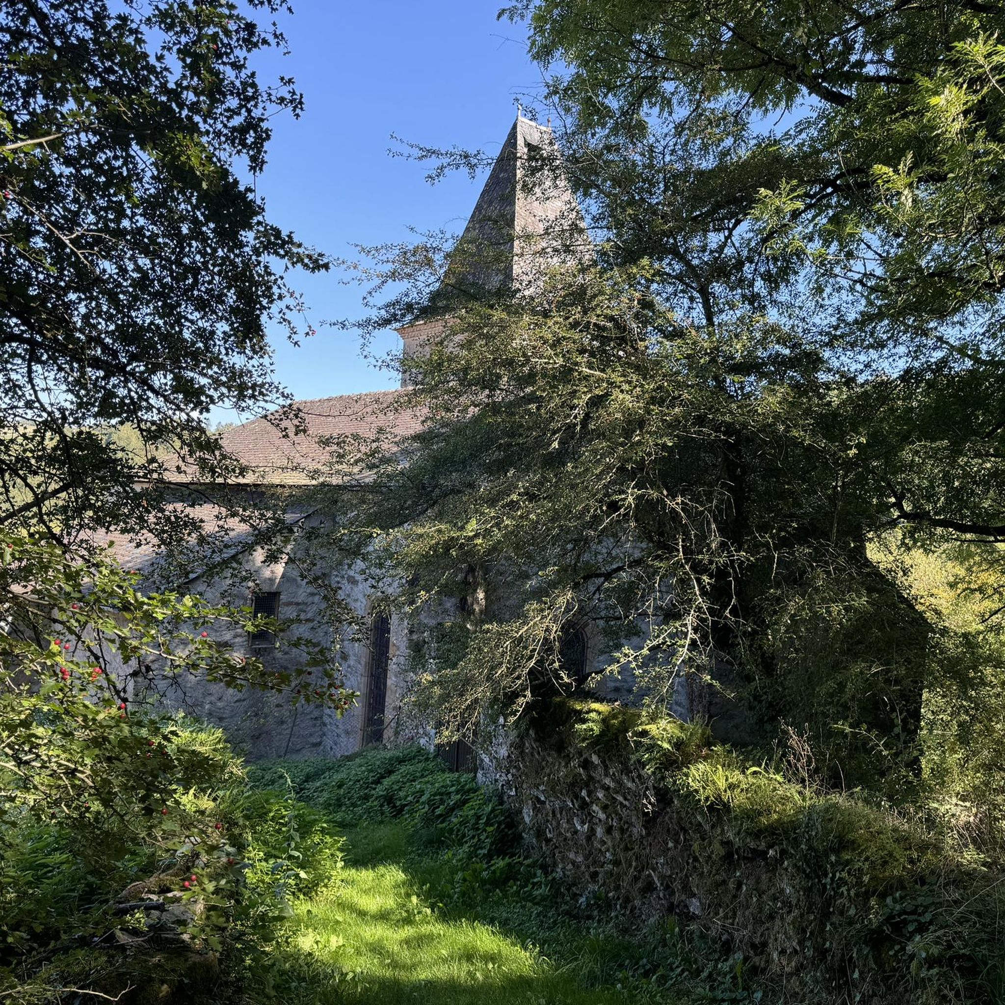


Tips from the Community

Absolutely worth seeing, fully developed for tourism. The climb is quite challenging by bike.
0
0
A great medieval bridge - a great photo opportunity!
0
0
The water is shallow and the place is deserted.
0
0

The Saint-Blaise Bridge is a magnificent medieval sandstone structure dating back to the 13th century. It played a major role for merchants and pilgrims on their way to Santiago de Compostela, allowing them to cross the Aveyron all year round.
1
0

Najac Castle is an impressive castle built on top of a hill formed by a loop of the river.
0
0

Oustal de Barry for its rooms and its meals, an address not to be missed
0
0

Nice town/village. Cafes and restaurants, from here you can walk
0
0
Frequently Asked Questions
How many touring cycling routes are available around Montirat?
There are over 70 touring cycling routes around Montirat, offering a wide range of experiences for different skill levels. The komoot community has explored these routes over 280 times.
Are there easy touring cycling routes suitable for beginners in Montirat?
While the Montirat region is known for its rolling hills and significant elevation changes, there is at least one easy touring cycling route available. For a more relaxed ride, look for routes explicitly marked as 'easy' or 'moderate' on komoot, as many routes feature challenging climbs.
What is the general difficulty and length of touring bike trails in Montirat?
The touring cycling routes in Montirat vary significantly in difficulty and length. You'll find a mix of moderate and difficult trails, with 26 moderate and 46 difficult routes listed. Distances range from shorter loops around 12 miles (20 km) to longer, more challenging rides over 45 miles (70 km), often involving substantial elevation gain.
Are there any circular bike routes around Montirat?
Yes, many touring cycling routes in Montirat are designed as circular loops, allowing you to start and finish at the same point. Examples include the moderate The Candour – Laguépie loop from Le Moulin and the more challenging Pont Saint-Blaise – Laguépie loop from Saint-André-de-Najac.
What are some notable viewpoints or attractions along the touring cycling routes in Montirat?
The routes often pass through scenic river valleys and offer views of the surrounding agricultural landscapes and woodlands. You can also explore historical sites and charming villages. Highlights include the Najac Village and Castle, the picturesque village of Laguépie, and the historic Pont Saint-Blaise. The Beautiful bathing spot – Bar pin loop from Bor-et-Bar leads through rural landscapes and past natural features.
What is the best time of year to cycle in Montirat?
Given the region's climate, spring and autumn generally offer the most pleasant conditions for touring cycling in Montirat, with milder temperatures and beautiful scenery. Summers can be warm, especially in the river valleys, while winters can be cooler and wetter. Always check the local weather forecast before heading out.
Are there advanced cycling trails for experienced riders in Montirat?
Absolutely. Montirat is well-suited for advanced touring cyclists, with 46 routes classified as difficult. These routes feature significant elevation changes and longer distances, such as the Saint-Blaise Bridge – Najac loop from Saint-André-de-Najac, which covers over 33 miles (54 km) with substantial climbing.
What should I bring for a touring cycling trip in Montirat?
Given the varied terrain and potential for significant climbs, it's advisable to bring appropriate gear. This includes a well-maintained touring bike, helmet, water bottles, snacks, basic repair kit, and weather-appropriate clothing. Sun protection is also recommended, especially during warmer months.
Are there any cafes or places to stop for refreshments along the cycling routes?
While specific cafes are not listed for every route, the routes often connect villages and towns like Laguépie and Najac, where you can typically find local establishments for refreshments. Planning your route with komoot allows you to identify potential stops along the way.
What do other touring cyclists enjoy most about cycling in Montirat?
The komoot community rates touring cycling in Montirat highly, with an average score of 4.7 stars from over 40 reviews. Cyclists often praise the region's varied terrain, which includes rolling hills, river valleys, and a mix of agricultural land and woodlands, offering diverse and engaging rides.
Is public transport available to access the bike trails around Montirat?
Montirat is a rural area, and public transport options directly to trailheads may be limited. It is generally recommended to travel by car to access the starting points of the touring cycling routes. Some routes may pass through villages with regional bus services, but direct connections to specific trail starts are not guaranteed.
Where can I find parking for Montirat bike trails?
Parking is typically available in the villages and towns that serve as starting points for the routes, such as Saint-André-de-Najac or Bor-et-Bar. Look for designated public parking areas within these communities. Always check local signage for any restrictions.
Are there any particularly long touring cycling routes in the Montirat area?
Yes, for those seeking longer distances, routes like the challenging Pont de Fenerol – Parisot loop from Saint-André-de-Najac cover over 48 miles (78 km) and involve significant elevation gain, providing a full day's adventure.
Most popular attractions around Montirat

Get inspired with the komoot mobile app


Explore more
Browse the best Cycling routes in other regions.
