The best road cycling routes around Auvare
4.6
(79)
5,706
riders
72
rides
Road cycling routes near Auvare distance and elevation data indicate a region characterized by significant climbs and descents. The terrain features numerous mountain passes, known as "cols," and deep gorges, offering varied road cycling experiences. This area of France presents a challenging landscape for road cyclists, with routes often traversing scenic roads through mountainous environments.
Best road cycling routes around Auvare
- The most popular road cycling route is Ascros Village and Castle – Col de Saint-Raphaël loop from Puget-Théniers,…
Last updated: July 9, 2026
5.0
(4)
203
riders
87.4km
04:53
1,890m
1,890m
Hard road ride. Very good fitness required. Mostly well-paved surfaces and easy to ride.
5.0
(1)
81
riders
101km
05:35
2,140m
2,140m
Hard road ride. Very good fitness required. Mostly well-paved surfaces and easy to ride.

Sign up for free
5.0
(1)
38
riders
125km
07:26
3,180m
3,180m
Hard road ride. Very good fitness required. Mostly well-paved surfaces and easy to ride.
40
riders
39.7km
02:09
770m
770m
Moderate road ride. Good fitness required. Mostly well-paved surfaces and easy to ride.
25
riders
126km
07:11
2,860m
2,860m
Hard road ride. Very good fitness required. Mostly well-paved surfaces and easy to ride.
Get access to more routes and recommendations from other explorers.
Sign up for free
Already have an account?
Our route recommendations are based on thousands of hikes, rides, and runs completed by other people on komoot.
Start today with a free account
Your next adventure awaits.
Login or Signup

Tips from the Community

The Col de Sainte-Anne is a pass at an altitude of 425 meters in the French department of Bouches-du-Rhône.
0
0
The Col de la Couillole is a mountain pass in the Massif du Mercantour-Argentera of the French Alps, situated at an altitude of 1,678 m (5,505 ft) in the Alpes-Maritimes department, France. The road connection is open for six to seven months of the year, allowing travel between the Cians gorges in the west and the Tinée valley in the east.
0
0
The Col de la Couillole is a mountain pass in the Massif du Mercantour-Argentera of the French Alps, situated at an altitude of 1,678 m (5,505 ft) in the Alpes-Maritimes department, France. The road connection is open for six to seven months of the year, allowing travel between the Cians gorges in the west and the Tinée valley in the east.
0
0

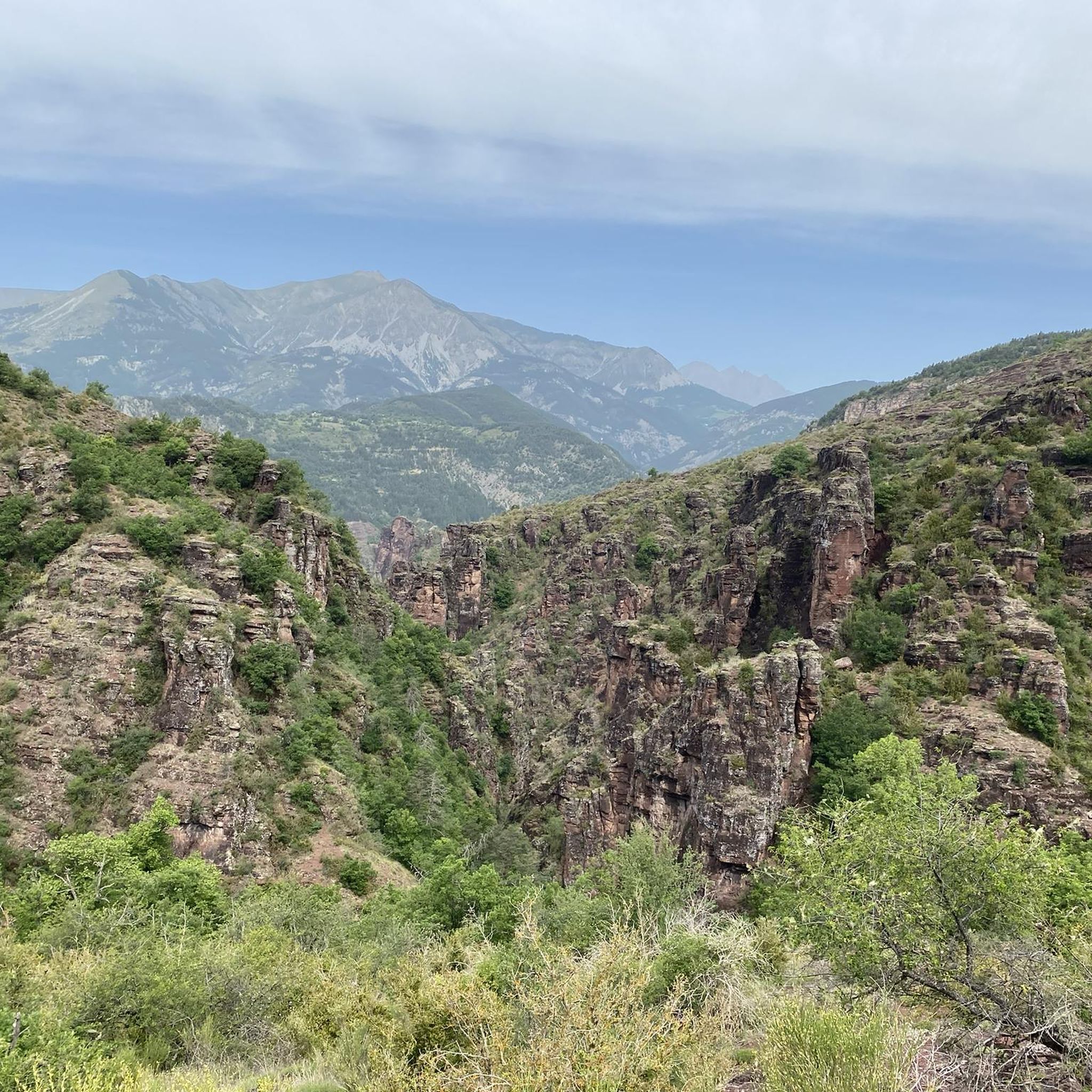
This crossing point is spectacular.
12
0
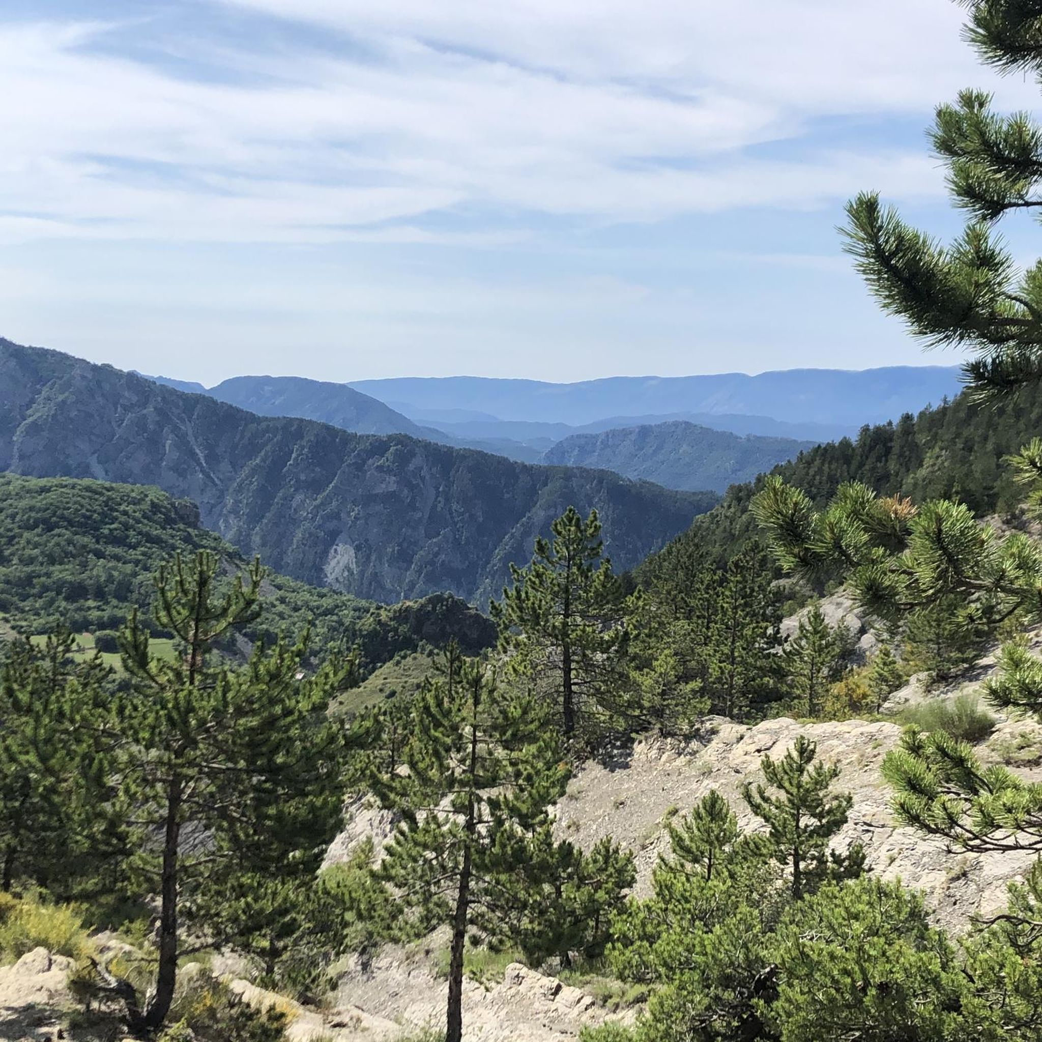
There are some very interesting passages along this stretch of road.
11
0

Don't hesitate to enter the village to appreciate all its charm.
0
0

If you'd like to take a ride, you can find out about the train times here: https://www.cpzou.fr/en/steam-train-train-des-pignes-a-vapeur/
0
0

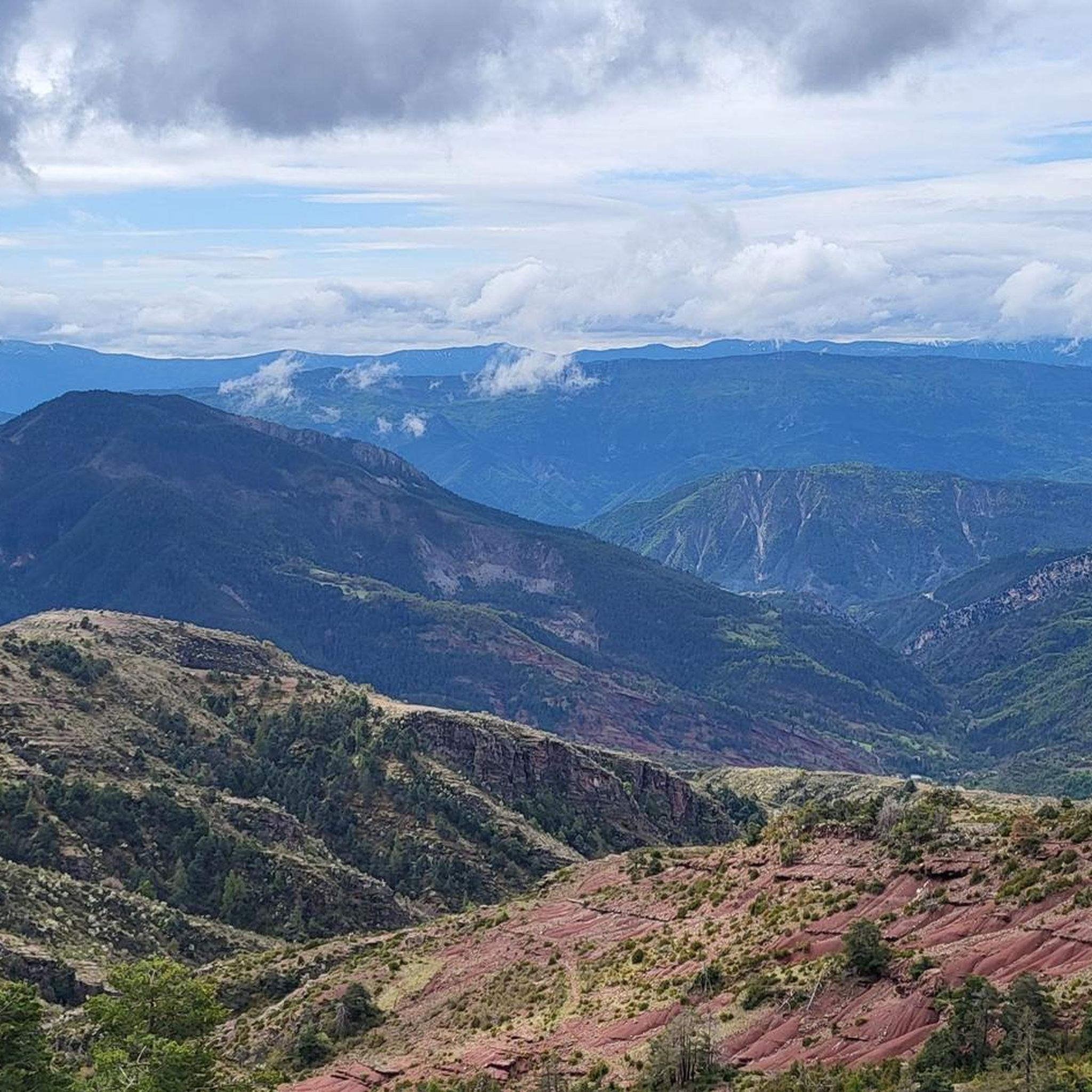
Spectacular view towards the steep valley of Tinée.
0
0
Frequently Asked Questions
What is the general difficulty level of road cycling routes in Auvare?
Road cycling around Auvare is characterized by challenging mountain passes and deep gorges. While there are 6 easy and 26 moderate routes, the majority, 38 routes, are classified as difficult, offering significant climbs and descents.
Are there any beginner-friendly road cycling routes in Auvare?
Yes, Auvare offers 6 road cycling routes that are suitable for beginners. These routes provide a gentler introduction to the region's scenic roads without the most demanding climbs.
What kind of terrain can I expect on road cycling routes near Auvare?
The terrain around Auvare is defined by significant climbs and descents, traversing numerous mountain passes (cols) and deep gorges. You can expect varied road cycling experiences through a mountainous environment with scenic roads.
What do other cyclists say about road cycling in Auvare?
The road cycling routes in Auvare are highly rated by the komoot community, with an average score of 4.8 stars from over 60 reviews. Cyclists often praise the challenging mountain passes, the extensive views, and the scenic roads through the region's unique landscape.
Can you recommend a challenging road cycling route for experienced riders?
For experienced riders seeking a challenge, the St Auban Gorge – Clue de Gréolières Scenic Road loop from Puget-Théniers is an excellent choice. This difficult route spans over 78 miles (126 km) with nearly 9,400 feet (2,861 m) of elevation gain, offering a demanding and rewarding experience.
Are there any road cycling routes that feature notable landmarks or scenic viewpoints?
Many routes in Auvare offer stunning views and pass by significant landmarks. For instance, the Climb to Col de Saint-Leger – View of Entrevaux loop from Puget-Théniers provides views of the historic village of Entrevaux. You can also explore routes that pass through the dramatic Gorges du Cians or offer vistas from mountain passes like Col de la Couillole.
What is the best time of year for road cycling in Auvare?
The best time for road cycling in Auvare is typically from late spring to early autumn (May to October). During these months, the weather is generally favorable, and mountain passes are clear of snow, providing optimal conditions for tackling the region's climbs.
Are there any road cycling routes that are loop routes?
Yes, many of the road cycling routes around Auvare are designed as loops, allowing you to start and finish in the same location. An example is the Ascros Village and Castle – Col de Saint-Raphaël loop from Puget-Théniers, which is a popular 54.3-mile (87.4 km) loop.
What are some of the notable mountain passes I can cycle over in Auvare?
Auvare is renowned for its mountain passes. Cyclists can challenge themselves on ascents to passes such as Col de la Couillole, Col de Saint-Raphaël, and Col de Félines (930 m). These passes often feature in the region's more difficult routes.
Are there any specific gorges that are particularly scenic for road cycling?
The region around Auvare is famous for its dramatic gorges. The Gorges du Cians and the Gorges de Daluis are particularly scenic, offering breathtaking views as roads wind through the deep canyons. Routes like the St Auban Gorge – Clue de Gréolières Scenic Road loop from Puget-Théniers incorporate these stunning natural features.
How long do road cycling routes in Auvare typically take to complete?
The duration of road cycling routes in Auvare varies significantly based on distance and elevation gain. Shorter, moderate routes like the View of Entrevaux – View of Entrevaux loop from Puget-Théniers can be completed in about 3 hours 40 minutes, while longer, difficult routes such as the Col de la Couillole – Ascent to Col de la Couillole loop from Puget-Théniers can take over 5 hours 30 minutes.
Most popular attractions around Auvare

Get inspired with the komoot mobile app


Explore more
Browse the best Road cycling routes in other regions.
