The best cycling routes around Puget-Rostang
4.5
(70)
2,919
riders
76
rides
Touring cycling around Puget-Rostang offers a diverse landscape characterized by mountainous terrain, including numerous cols and scenic valleys. The region features varied elevations, providing both challenging climbs and rewarding descents. Cyclists can expect routes that traverse through natural landscapes, often with expansive views of the surrounding area.
Best touring cycling routes around Puget-Rostang
- The most popular touring cycling route is Col de Saint-Raphaël (876 m) – Roquestéron loop from Puget-Théniers, a 54.4 miles (87.5 km) trail that takes 6…
Last updated: August 19, 2026
86
riders
88.3km
06:23
1,910m
1,910m
Hard bike ride. Very good fitness required. Mostly paved surfaces. Suitable for all skill levels.
43
riders
45.2km
03:32
1,250m
1,250m
Hard bike ride. Very good fitness required. Mostly paved surfaces. Suitable for all skill levels.

Sign up for free
33
riders
16.5km
01:47
450m
450m
Hard bike ride. Very good fitness required. Mostly paved surfaces. Suitable for all skill levels.
4.5
(4)
22
riders
45.1km
03:12
880m
880m
Hard bike ride. Very good fitness required. Mostly paved surfaces. Suitable for all skill levels.
4.0
(1)
21
riders
105km
07:29
2,080m
2,080m
Hard bike ride. Very good fitness required. Mostly paved surfaces. Suitable for all skill levels.
Get access to more routes and recommendations from other explorers.
Sign up for free
Already have an account?
Our route recommendations are based on thousands of hikes, rides, and runs completed by other people on komoot.
Start today with a free account
Your next adventure awaits.
Login or Signup

Tips from the Community

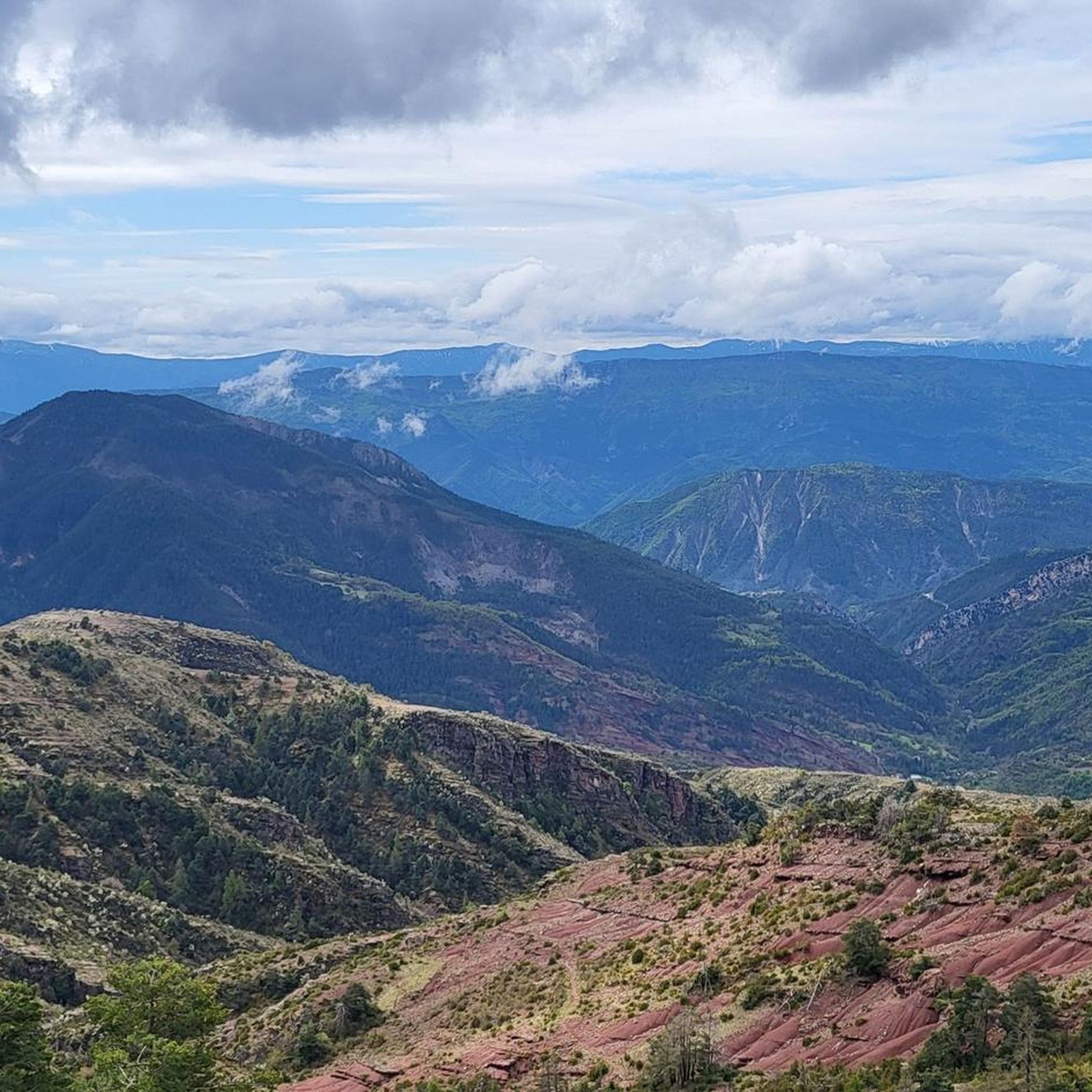
The Col de la Couillole is a mountain pass in the Massif du Mercantour-Argentera of the French Alps, situated at an altitude of 1,678 m (5,505 ft) in the Alpes-Maritimes department, France. The road connection is open for six to seven months of the year, allowing travel between the Cians gorges in the west and the Tinée valley in the east.
0
0
The Col de la Couillole is a mountain pass in the Massif du Mercantour-Argentera of the French Alps, situated at an altitude of 1,678 m (5,505 ft) in the Alpes-Maritimes department, France. The road connection is open for six to seven months of the year, allowing travel between the Cians gorges in the west and the Tinée valley in the east.
0
0

In addition to the citadel, cathedral, and its gates, Entrevaux also boasts a beautiful and cozy historic center. The Place Charles Panier and Place du Planet, in particular, invite you to linger in one of the cafés or restaurants.
5
0

village of ascros hanging on a rock, frankly I recommend you go there by bike, it's magical and magnificent as a place
0
0

An absolutely worthwhile detour if you are driving the Route des grandes Alpes.
0
0


Nestled in the Southern Alps, the Col du Raton offers a wild and unspoiled route, perfect for mountain bike enthusiasts. Culminating at 1,686 meters, it crosses landscapes of steep mountains, pine forests and alpine meadows. The pass reveals breathtaking panoramas of the surrounding valleys, with a clear view of the neighboring peaks. The climb, although sporty, is rewarded by the raw beauty of nature.
1
0

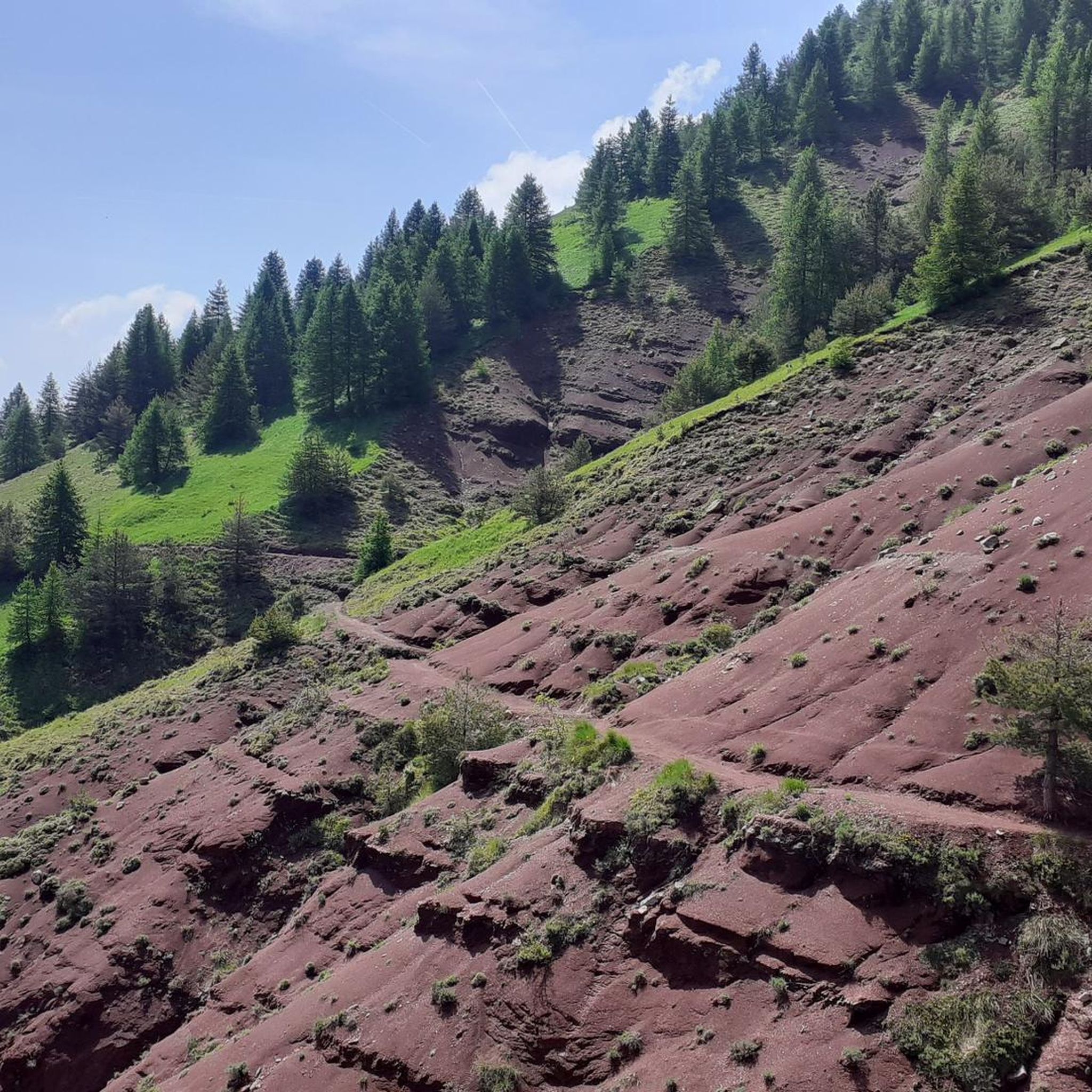
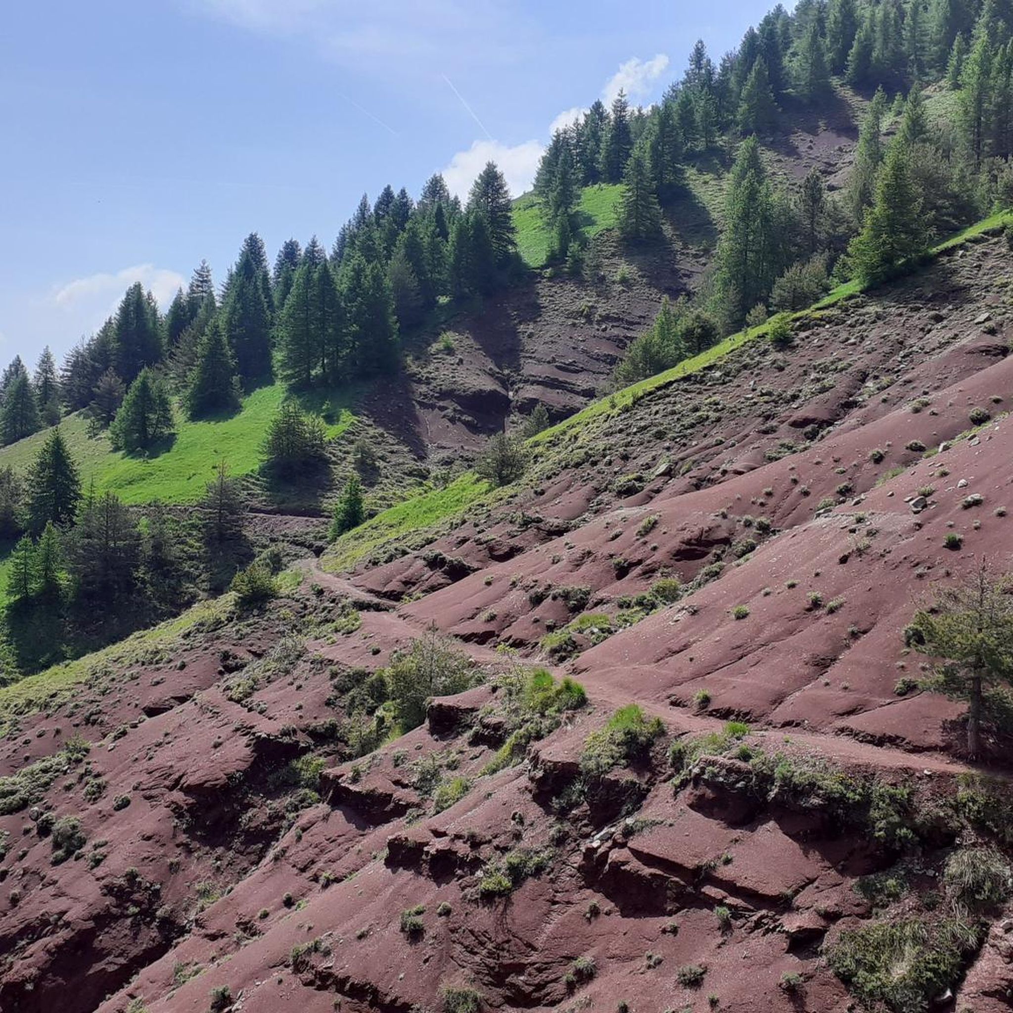
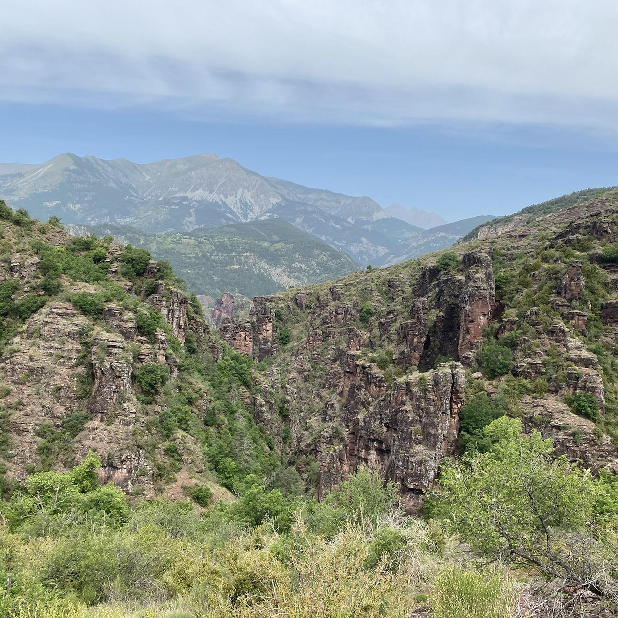
Very beautiful road in the hollow of steep gorges with walls of red rocks. A place suitable for canyoning.
0
1
Frequently Asked Questions
How many touring cycling routes are available around Puget-Rostang?
There are over 60 touring cycling routes documented on komoot around Puget-Rostang, offering a wide range of options for different skill levels and preferences.
Are there any easy touring cycling routes for beginners in Puget-Rostang?
While the region is known for its challenging mountainous terrain, there is at least one easy touring cycling route available. Most routes are moderate to difficult, so beginners should carefully check the route details before setting out.
What kind of terrain can I expect on touring cycling routes in Puget-Rostang?
The terrain around Puget-Rostang is predominantly mountainous, featuring numerous cols and scenic valleys. Cyclists can expect varied elevations, providing both challenging climbs and rewarding descents through natural landscapes with expansive views.
Are there any circular touring cycling routes in the Puget-Rostang area?
Yes, many routes in the region are designed as loops. For example, the Valberg loop from Mont Braissier offers a scenic moderate path, and the challenging Col de Saint-Raphaël (876 m) – Roquestéron loop from Puget-Théniers is also a circular route.
What are some challenging touring cycling routes for experienced cyclists?
Experienced cyclists will find plenty of demanding routes. The View of Roubion – Col de la Couillole (1,678 m) loop from Puget-Théniers is a difficult route spanning over 105 km with significant elevation gain. Another challenging option is the View of Ascros – Col de Vé Gautier loop from Puget-Théniers.
What are the typical durations for touring cycling routes in Puget-Rostang?
Route durations vary significantly based on distance and elevation. Shorter, moderate routes like the Valberg loop from Mont Braissier can take around 1 hour 35 minutes, while longer, difficult routes such as the Col de Saint-Raphaël (876 m) – Roquestéron loop from Puget-Théniers can take over 6 hours.
What can I see along the touring cycling routes in Puget-Rostang?
The routes often pass by significant natural and historical landmarks. You can encounter impressive mountain passes like Col de la Couillole and Col de Saint-Raphaël. Other points of interest include the Bride's Bridge, the View of Entrevaux, and the Daluis gorges.
What do other touring cyclists say about the routes in Puget-Rostang?
The touring cycling routes in Puget-Rostang are highly rated by the komoot community, with an average score of 4.7 stars from over 60 reviews. Cyclists often praise the challenging mountain passes, scenic loops, and the varied elevations that define the region's cycling experience.
Are there any specific viewpoints or scenic spots along the routes?
Yes, many routes offer panoramic views due to the mountainous landscape. The Climb to Col de Saint-Leger – View of Entrevaux loop from B21 specifically highlights views towards Entrevaux. The numerous cols also provide excellent vantage points.
What is the best season for touring cycling in Puget-Rostang?
Given the mountainous terrain and the presence of cols, the spring, summer, and early autumn months generally offer the most favorable weather conditions for touring cycling in Puget-Rostang. Winter can bring snow and colder temperatures, making some higher elevation routes inaccessible or more challenging.
Are there any notable mountain passes to cycle through in the region?
Puget-Rostang is surrounded by several significant mountain passes that are popular with touring cyclists. These include Col de la Couillole, Col du Raton, Col de Félines (930 m), Col de Saint-Raphaël, and Col de Sainte-Anne.
Most popular attractions around Puget-Rostang

Get inspired with the komoot mobile app


Explore more
Browse the best Cycling routes in other regions.
