The best road cycling routes around Magrin
4.1
(11)
400
riders
104
rides
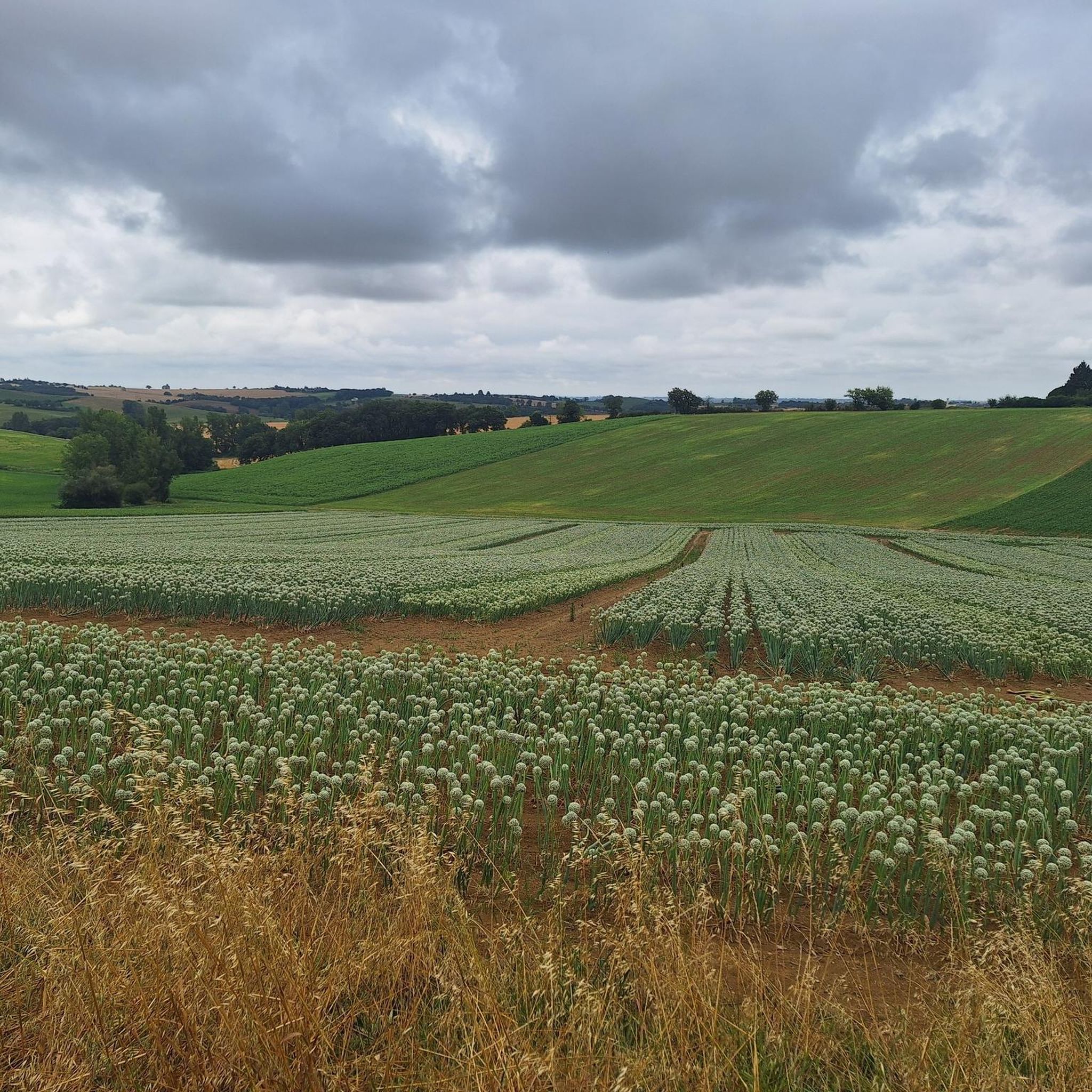
Road cycling routes around Magrin traverse a landscape characterized by rolling terrain and rural roads, offering varied elevations suitable for different cycling preferences. The region features a network of paths that wind through open countryside, providing opportunities for both steady rides and more challenging climbs. Road cyclists can expect a mix of gentle gradients and ascents, making it a suitable area for exploring by bike.
Best road cycling routes around Magrin
- The most popular road cycling route is Semalens –…
Last updated: May 21, 2026
3.0
(1)
25
riders
48.0km
02:07
450m
450m
Moderate road ride. Good fitness required. Mostly well-paved surfaces and easy to ride.
3.0
(3)
19
riders
54.8km
02:22
410m
410m
Moderate road ride. Good fitness required. Some segments of this route may be unpaved and difficult to ride.

Sign up for free
17
riders
45.7km
02:08
490m
490m
Moderate road ride. Good fitness required. Mostly well-paved surfaces and easy to ride.
18
riders
27.3km
01:08
70m
70m
Moderate road ride. Great for any fitness level. Some segments of this route may be unpaved and difficult to ride.
18
riders
Moderate road ride. Good fitness required. Some segments of this route may be unpaved and difficult to ride.
Get access to more routes and recommendations from other explorers.
Sign up for free
Already have an account?
Our route recommendations are based on thousands of hikes, rides, and runs completed by other people on komoot.
Start today with a free account
Your next adventure awaits.
Login or Signup



Tips from the Community


Very beautiful bridge with a beautiful view!
1
0

It's always nice to go around the golf course 🏌️⛳️
0
0

Hello when we start the vtc at 70a or we barely cycle 300m of elevation gain is it difficult or easy. Thank you for your answer it will help me
1
1


Small town of Lauragais, in the Pays de Cocagne; historically linked to pastel. Easily accessible from Toulouse by the Auroroute or by train.
0
0

Frequently Asked Questions
How many road cycling routes are available around Magrin?
There are over 100 road cycling routes around Magrin, offering a wide range of options for different skill levels and preferences.
What kind of terrain can I expect on road cycling routes in Magrin?
Road cycling around Magrin is characterized by rolling hills, open countryside, and rural roads. You'll find a mix of gentle gradients and ascents, providing varied terrain suitable for both steady rides and more challenging climbs.
Are there road cycling routes suitable for beginners in Magrin?
Yes, Magrin offers 8 easy road cycling routes perfect for beginners or those looking for a more relaxed ride. These routes typically feature less elevation gain and shorter distances.
What are some challenging road cycling routes for experienced riders in Magrin?
For experienced riders seeking a challenge, Magrin has 13 difficult road cycling routes. These routes often feature significant elevation gains and longer distances. An example is the Saint-Martin Church of Sorèze – Lac de Saint-Ferréol loop from Appelle, which covers 40.8 miles (65.6 km) with substantial climbing.
What do other road cyclists say about the routes in Magrin?
The road cycling routes in Magrin are highly rated by the komoot community, with an average score of 3.9 stars from over 11 reviews. Cyclists often appreciate the varied terrain and the opportunities to explore the rural landscapes.
Are there any scenic viewpoints along the road cycling routes in Magrin?
While specific viewpoints aren't detailed, many routes wind through open countryside, offering panoramic views of the rural landscape. The Église de Prades – Wind turbine loop from Prades, for instance, passes through areas that likely offer expansive views.
Can I find circular road cycling routes in Magrin?
Yes, many of the road cycling routes in Magrin are designed as loops, allowing you to start and end at the same point. Examples include the popular Semalens – Puylaurens loop from Appelle and the Puylaurens loop from Algans.
What interesting places can I see near the road cycling routes in Magrin?
Several attractions are located near the road cycling routes. You can explore historical sites like the Lavaur: Roman road or visit the charming settlement of Puylaurens. The Puylaurens – Château de Montgey loop from Roquevidal passes close to Montgey Castle and the Château-Musée du Pastel de Magrin.
Are there any family-friendly road cycling routes in Magrin?
While specific 'family-friendly' routes aren't explicitly categorized, the 8 easy routes available would be most suitable for families or those cycling with children, as they feature gentler gradients and shorter distances.
What is the typical distance and elevation gain for road cycling routes in Magrin?
The routes vary significantly. Moderate routes like the Semalens – Puylaurens loop from Appelle cover about 28.5 miles (45.9 km) with around 1,600 feet (488 m) of elevation gain. Longer, more challenging routes can exceed 40 miles (65 km) with over 2,200 feet (680 m) of climbing.
Is there information on parking facilities for road cyclists in Magrin?
Specific parking facilities for road cycling routes in Magrin are not detailed in the available information. It is advisable to check local signage or community resources for parking options near your chosen starting point.
Can I reach the road cycling trails in Magrin using public transport?
Information regarding public transport access to road cycling trails in Magrin is not available. It is recommended to research local public transportation options or plan for private transport to reach the trailheads.
Most popular attractions around Magrin

Get inspired with the komoot mobile app


Explore more
Browse the best Road cycling routes in other regions.
