The best walks and hikes around Ferrières-Lès-Scey
4.6
(188)
1,246
hikers
47
hikes
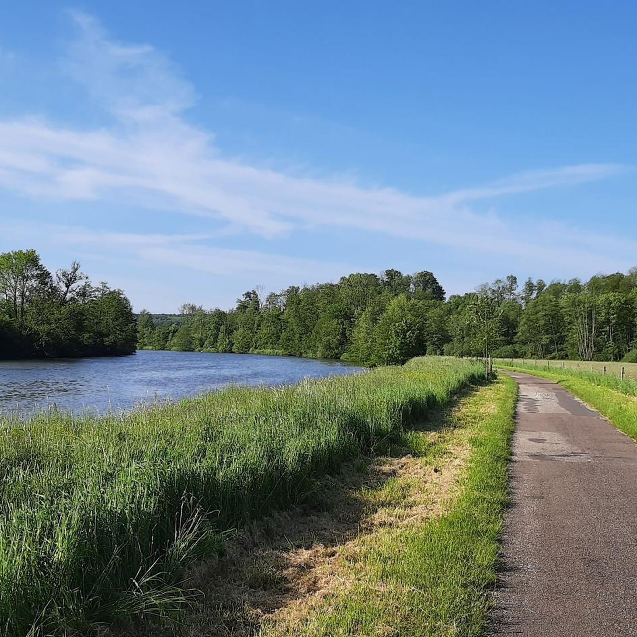
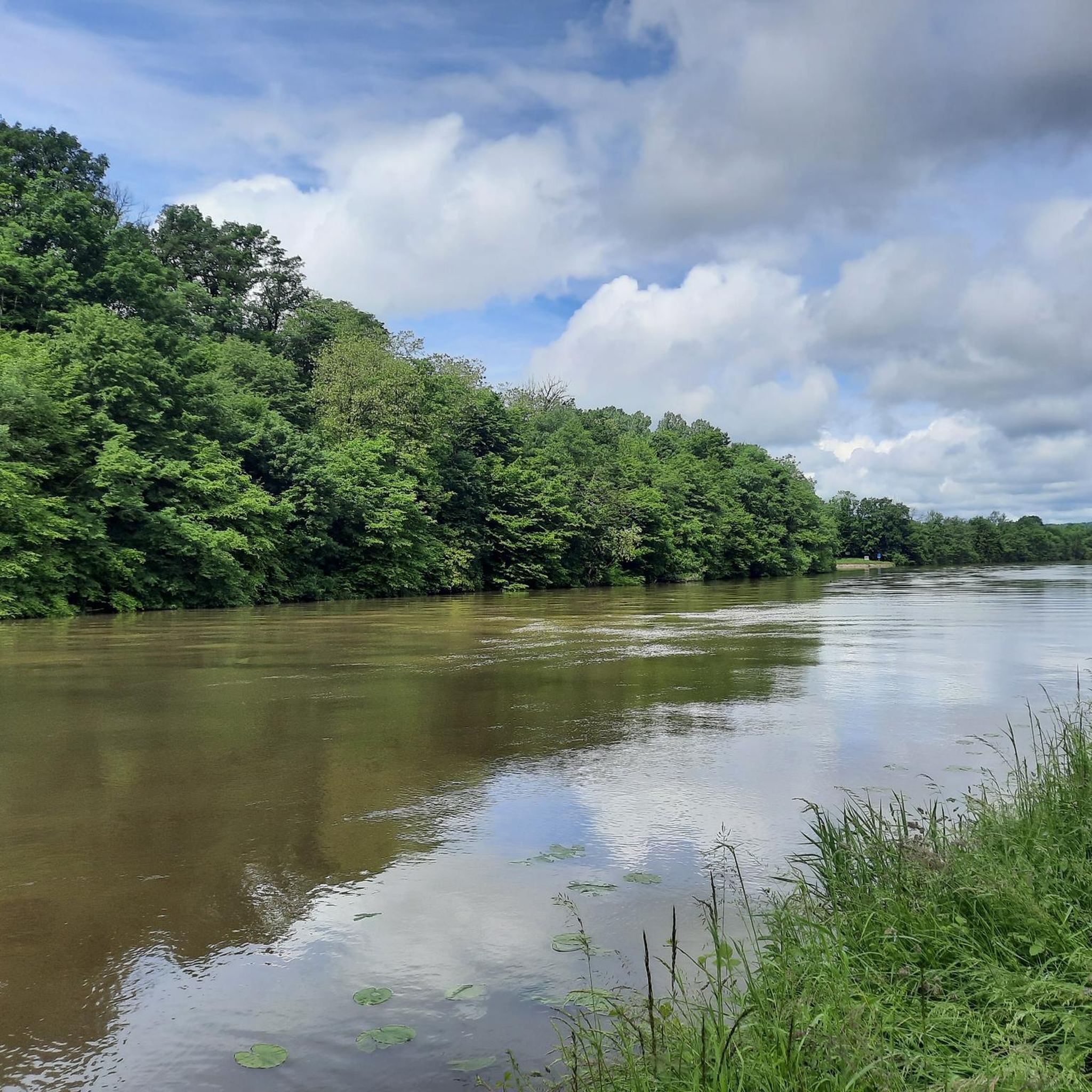
Hiking around Ferrières-Lès-Scey offers a variety of trails through the region's diverse landscape. The area is characterized by rolling hills, dense woodlands, and proximity to river valleys, providing varied terrain for outdoor activities. Hikers can expect paths that traverse agricultural fields, shaded forest sections, and routes that follow waterways. The elevation gains are generally moderate, making many trails accessible.
Best hiking trails around Ferrières-Lès-Scey
- The most popular hiking route is Camp Cesar loop from Chariez, a 3.2 miles (5.2…
Last updated: May 24, 2026
5.0
(2)
13
hikers
13.8km
03:43
180m
180m
Moderate hike. Good fitness required. Easily-accessible paths. Suitable for all skill levels.
4.5
(2)
6
hikers
Moderate hike. Good fitness required. Easily-accessible paths. Suitable for all skill levels.

Sign up for free
4.8
(4)
14
hikers
10.3km
02:45
120m
110m
Moderate hike. Good fitness required. Easily-accessible paths. Suitable for all skill levels.
5.0
(2)
7
hikers
Easy hike. Great for any fitness level. Easily-accessible paths. Suitable for all skill levels.
5.0
(1)
4
hikers
8.69km
02:18
90m
90m
Moderate hike. Good fitness required. Easily-accessible paths. Suitable for all skill levels.
Get access to more routes and recommendations from other explorers.
Sign up for free
Already have an account?
Our route recommendations are based on thousands of hikes, rides, and runs completed by other people on komoot.
Start today with a free account
Your next adventure awaits.
Login or Signup


Tips from the Community

A curiosity of river navigation
2
0

The 681-metre canal tunnel was built at the end of the 19th century. It allows barges to avoid a long detour via the Saône.
3
0

You don't see that every day.
2
0

A bombastic portal leads into the Saone tunnel. Worth seeing.
2
1

Unfortunately the church is closed and the castle is only open in July
2
0

This tunnel-canal, classified on the list of historical monuments, is 681 meters long. It avoids a long detour made by the Saône. Its construction was the subject of two phases of work, the war campaigns having interrupted the construction site. It started in 1838 and ended in 1882.
3
0

On the mountain side of the tunnel is one of the few cafés in the region. The next one is a little further in Scey – if the tunnel is closed.
0
0
Frequently Asked Questions
How many hiking trails are available around Ferrières-Lès-Scey?
There are over 35 hiking routes in the Ferrières-Lès-Scey area, offering a variety of experiences through woodlands, river valleys, and gentle hills. These include options for different ability levels, from easy family-friendly walks to more strenuous trails.
Are there easy hiking trails suitable for beginners or families?
Yes, the region offers 17 easy trails perfect for beginners or families. An excellent option is the Camp Cesar loop from Chariez, which is 3.2 miles (5.2 km) long and takes about 1 hour 30 minutes to complete, leading through woodlands and open fields.
What are the typical lengths and durations of hikes in the area?
Hikes in Ferrières-Lès-Scey vary in length and duration. Easy trails like the Camp Cesar loop from Chariez are around 3.2 miles (5.2 km) and take about 1.5 hours. Moderate routes, such as the Bois des Combes loop from Port-sur-Saône, can be up to 8.6 miles (13.8 km) and take over 3.5 hours.
Are there more challenging hikes for experienced hikers?
While most trails are easy to moderate, there is at least one difficult route available for experienced hikers seeking a greater challenge. The area's terrain, characterized by rolling hills and varied landscapes, provides opportunities for longer and more demanding excursions.
Can I bring my dog on the hiking trails?
Many trails in the Ferrières-Lès-Scey area are suitable for dogs, especially those traversing woodlands and open fields. It's generally recommended to keep dogs on a leash, particularly in agricultural areas or near wildlife. Always check local signage for specific restrictions.
What is the best time of year to go hiking in Ferrières-Lès-Scey?
The best time to hike in Ferrières-Lès-Scey is typically during spring, summer, and early autumn. Spring offers lush greenery and blooming wildflowers, while summer provides warm weather for exploring. Autumn brings beautiful foliage. Winters can be cold, but some trails remain accessible.
Are there any circular walks available?
Yes, many routes in the area are circular, allowing you to start and end at the same point. Examples include the Pierre Percée de Traves – Pirre Percée d'Aroz loop from Traves, a 6.1 miles (9.8 km) trail, and the Saint-Albin Canal Tunnel – Saint-Albin Tunnel loop from Scey-sur-Saône-et-Saint-Albin, which is 7.8 miles (12.5 km).
What interesting landmarks or attractions can I see along the hiking trails?
Along the trails, you can discover several points of interest. Notable attractions include the Saint-Albin Canal Tunnel and the Saint-Albin Tunnel, both significant historical structures. The La Trace du Courlis Greenway also offers scenic sections for walking.
Is parking available at trailheads in Ferrières-Lès-Scey?
Parking is generally available near the starting points of many popular trails, especially in or near villages like Chariez, Port-sur-Saône, and Traves. It's advisable to check specific route details for designated parking areas before you go.
What do other hikers enjoy most about hiking in Ferrières-Lès-Scey?
The area is highly rated by the komoot community, with an average score of 4.6 stars from over 170 reviews. Hikers often praise the quiet woodlands, the varied terrain that includes riverbanks and open fields, and the well-maintained paths that make for enjoyable outings.
What should I bring for a hike in Ferrières-Lès-Scey?
For a comfortable hike, bring appropriate footwear, water, snacks, and weather-appropriate clothing. Given the mix of shaded woodlands and open areas, sun protection is also recommended. A map or GPS device is useful for navigation, though many trails are well-marked.
Most popular attractions around Ferrières-Lès-Scey

Get inspired with the komoot mobile app


Explore more
Browse the best Hikes in other regions.
