The best walks and hikes around Montpinier
4.7
(92)
712
hikers
53
hikes
Hiking around Montpinier offers access to the diverse landscapes of the Tarn department in the Occitanie region of France. The area is characterized by varied terrain, including plains, valleys, and hilly areas, providing a range of hiking experiences. Montpinier's location allows for exploration of natural features such as the deep forests and rocky ridges of the nearby Montagne Noire, as well as trails along significant waterways like the Tarn and Agout rivers. This region boasts an extensive network of pathways…
Last updated: May 12, 2026
5.0
(7)
55
hikers
6.15km
01:47
160m
160m
Easy hike. Great for any fitness level. Easily-accessible paths. Suitable for all skill levels.
4.9
(8)
51
hikers
6.99km
02:01
180m
180m
Moderate hike. Good fitness required. Easily-accessible paths. Suitable for all skill levels.

Sign up for free
4.9
(7)
29
hikers
9.41km
02:36
160m
160m
Moderate hike. Good fitness required. Easily-accessible paths. Suitable for all skill levels.
4.5
(4)
25
hikers
13.6km
03:42
190m
190m
Moderate hike. Good fitness required. Easily-accessible paths. Suitable for all skill levels.
5.0
(2)
11
hikers
12.1km
03:19
190m
190m
Moderate hike. Good fitness required. Easily-accessible paths. Suitable for all skill levels.
Get access to more routes and recommendations from other explorers.
Sign up for free
Already have an account?
Our route recommendations are based on thousands of hikes, rides, and runs completed by other people on komoot.
Start today with a free account
Your next adventure awaits.
Login or Signup
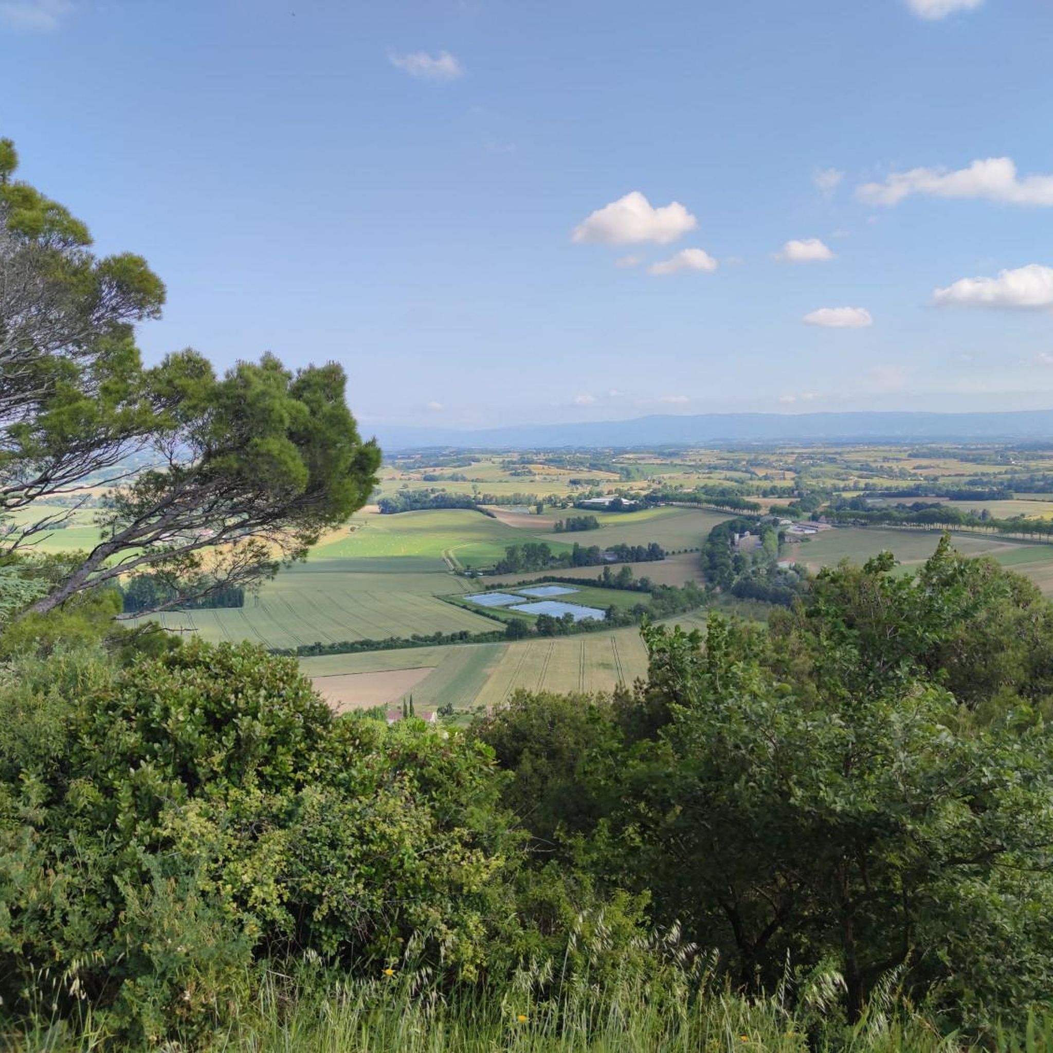

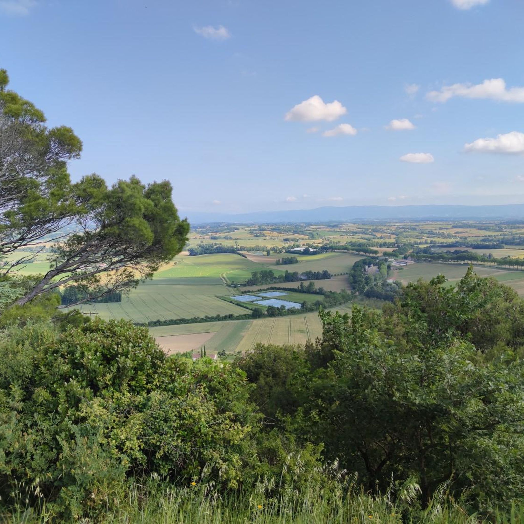
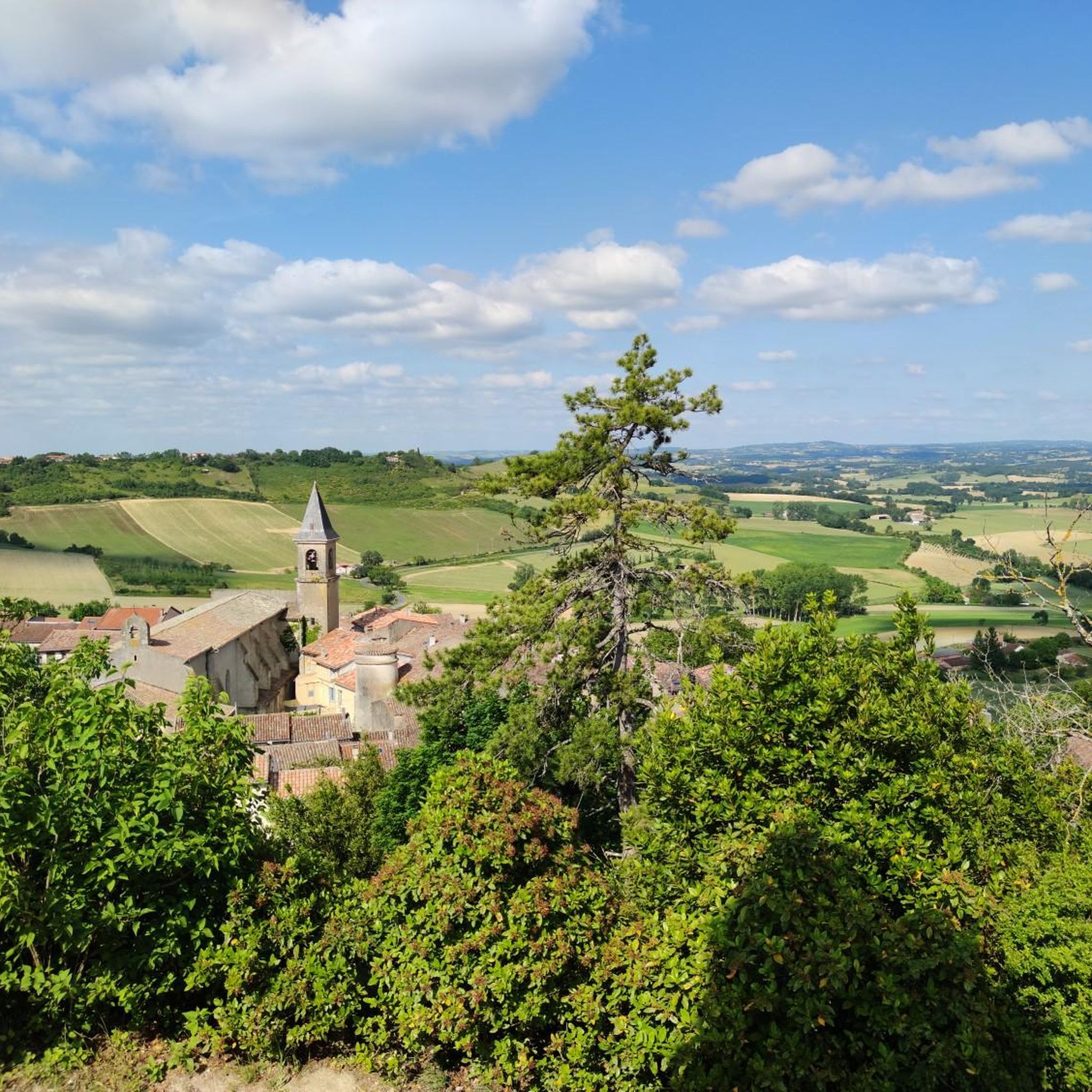

Tips from the Community

Nice walk without major difficulties with a small detour to the ruins of the castle of Montfa. Mainly path and trails, some secondary roads never very long. Rather muddy in winter weather. Marked PR trail in yellow line.
0
0

Loving work, never seen before
0
0

In the heart of the Fête de l'Ail Rose, medieval town known for its mill and its narrow streets. The Cafe Plum in the center of the village offers local cuisine in an artistic setting.
1
0

Lautrec is a French commune located in the Tarn department in the Occitanie region. Historically and culturally, the commune is in the Castrais, an essentially agricultural territory, between the right bank of the Agout to the south and its tributary, the Dadou, to the north.
0
0

View of the village of Lautrec, in the heights, from the greenway of the Cérou valley.
1
0

A nice viewpoint with a beautiful view of the village and the surroundings, with a pretty adjoining botanical garden, ideal for a break (without forgetting the excellent Marti bakery or PLUM cafe below)
0
0
Frequently Asked Questions
How many hiking trails are available around Montpinier?
There are over 50 hiking trails available around Montpinier, offering a wide range of experiences for outdoor enthusiasts. The region's extensive network of pathways provides access to diverse landscapes within the Tarn department.
What kind of hiking difficulty levels can I expect around Montpinier?
The hiking trails around Montpinier cater to various skill levels. You'll find a good mix of easy and moderate routes, with 27 easy trails and 28 moderate trails. There is also 1 difficult trail for those seeking a greater challenge.
Are there any family-friendly hiking options near Montpinier?
Yes, Montpinier and the surrounding Tarn region offer several family-friendly hiking options. Many of the easier trails are suitable for families, providing gentle introductions to the local countryside. For example, the Lautrec – Orientierungslos mal anders loop from Lautrec is an easy 3.8-mile (6.1 km) trail that takes less than two hours to complete.
Can I bring my dog on the hiking trails around Montpinier?
Many trails in the Tarn region are suitable for dogs, but it's always recommended to check specific trail regulations or local signage. Generally, if your dog is well-behaved and kept on a leash, you should find plenty of paths to explore together. Always ensure to clean up after your pet.
Are there any circular walks available near Montpinier?
Yes, the area around Montpinier features several circular walks, perfect for returning to your starting point without retracing your steps. A popular option is the Hiking loop from Peyregoux, a 6.0-mile (9.6 km) trail with moderate ascents.
What natural features or landmarks can I discover while hiking in the Montpinier area?
Hiking around Montpinier allows you to explore the diverse natural features of the Tarn department. You can encounter deep forests and rocky ridges, particularly in the nearby Montagne Noire. The region also offers trails along significant waterways like the Tarn and Agout rivers. While specific waterfalls directly in Montpinier are not prominent, the Montagne Noire area is known for picturesque waterfalls.
What do other hikers enjoy most about the trails around Montpinier?
The trails around Montpinier are highly rated by the komoot community, with an average score of 4.7 stars from over 80 reviews. Hikers often praise the varied terrain, which includes forested areas, river valleys, and open countryside, offering a rich and engaging experience for all ability levels.
Are there any interesting towns or attractions to visit near the hiking routes?
Yes, hiking in the Tarn often interweaves with cultural heritage. Nearby attractions include the historic town of Castres, known for its unique architecture. You can also find highlights like the View of Lautrec, offering scenic vistas, and the charming village of Burlats.
What is the best time of year to go hiking around Montpinier?
The Tarn region, including Montpinier, is generally pleasant for hiking from spring through autumn. These seasons offer comfortable temperatures and vibrant natural scenery. While winter hikes are possible, it's always advisable to check local weather conditions as some areas, particularly in the Montagne Noire, can experience colder temperatures and occasional snow.
Are there options for longer, more challenging hikes near Montpinier?
While many routes are easy to moderate, the extensive network of pathways in the Tarn department, particularly in areas like the Montagne Noire, provides opportunities for more adventurous and longer treks. For example, the Orientierungslos mal anders – Lautrec loop from Lautrec is a moderate 9.6-mile (15.4 km) route with significant elevation gain, offering a more extended experience.
Is there parking available at the trailheads around Montpinier?
While specific parking details for every trailhead are not always listed, the extensive trail network in the Tarn region generally includes accessible starting points. Many routes, especially those originating from towns like Lautrec or Peyregoux, typically have designated parking areas nearby. It's always a good idea to check the route details on komoot for specific parking information before you go.
Most popular routes around Montpinier
Most popular attractions around Montpinier

Get inspired with the komoot mobile app


Explore more
Browse the best Hikes in other regions.
