The best running trails in the Santa Monica Mountains
4.7
(30)
3,343
runners
159
runs
Jogging in the Santa Monica Mountains offers access to a vast network of trails within the nation's largest urban national park. The region is characterized by diverse ecosystems, including oak and sycamore forests, coastal sage, and chaparral, alongside rugged canyon walls and mountain vistas. Elevations range from sea level to over 3,000 feet, providing varied gradients for running. The mountains also feature 46 miles of scenic California coastline, allowing for routes with ocean breezes and Pacific views.
Best jogging routes in the Santa Monica Mountains
- The most popular jogging route is Temescal Canyon Loop Trail, a 3.5 miles (5.6 km) trail that takes about 48 minutes to complete, offering scenic views and a waterfall.
- Another top favourite among local runners is Solstice Canyon Loop – Santa Monica Mountains National Recreation Area, a moderate 3.0 miles (4.8 km) path. This route features shaded paths, sycamore trees, and views of waterfalls.
- Local runners also love the Mishe Mokwa to Tri-Peaks and Sandstone Peak – Santa Monica Mountains National Recreation Area, a 6.9 miles (11.2 km) trail leading through varied terrain to the highest point in the range, often completed in about 1 hour 35 minutes.
- Jogging in the Santa Monica Mountains is defined by diverse ecosystems, coastal access, and mountain vistas. The extensive network offers options for different ability levels, from easy loops to challenging climbs.
- The routes in Santa Monica Mountains are highly rated by the komoot community with an average score of 4.7 stars from over 25 reviews. More than 2900 runners have used komoot to explore Santa Monica Mountains's varied terrain.
Last updated: July 7, 2026
70
runners
23.0km
02:56
830m
830m
Embark on the Century lake and Mesa Peak loop from Calabasas for a challenging jogging experience through the Santa Monica Mountains National Recreation Area. This difficult route spans 14.3 miles (23.0 km) and demands a significant effort, with 2735 feet (834 metres) of elevation gain. As you jog, you will encounter diverse terrain, from wide dirt motorways to more technical single-track sections, all within the scenic Malibu Creek State Park. Look forward to panoramic ocean views as you climb towards Mesa Peak and discover the serene Century Lake along the way. Expect to complete this rewarding workout in about 2 hours and 55 minutes. You will also see impressive sandstone formations on the Backbone Trail.
Before you head out, be aware that this is considered a hard run, so you should have very good fitness. Parking is generally available at the trailhead in Calabasas, making access straightforward. However, it is important to note that dogs are typically not permitted on certain parts of the Mesa Peak trail, so always check current local regulations before your visit. Planning ahead ensures a smooth and enjoyable jogging adventure.
This trail offers more than just a workout; it provides a deep dive into the natural beauty of the region. You will jog through varied landscapes, including lush oak and sycamore woodlands that line Malibu Creek. The route's combination of challenging ascents and diverse scenery makes it a notable option for those seeking a rigorous outdoor activity in the area. It is a perfect choice if you are looking for a substantial and scenic jogging challenge.
39
runners
21.2km
02:15
170m
170m
The San Vicente and Ocean Avenue Loop offers a difficult jogging experience, stretching 13.2 miles (21.2 km) with an elevation gain of 553 feet (168 metres). You can expect to complete this route in about 2 hours and 15 minutes. As you jog, you will pass iconic coral trees and luxury homes along San Vicente Boulevard, leading to the scenic bluff-top path of Palisades Park. Here, you are treated to continuous Pacific Ocean vistas, framed by a straight line of palms and numerous overlook points.
This route is a popular and accessible jogging spot, conveniently located near Santa Monica, Westwood, and Brentwood. While you do not need any specific permits, be aware of the elevation profile; the consistent downhill gradient on San Vicente towards Santa Monica means you will face a significant uphill climb on your return. Plan your start time to enjoy the best conditions, especially if you want to catch a sunrise over the ocean.
What makes this loop unique is its combination of urban greenery and stunning coastal scenery, offering a dynamic workout. The route effectively blends the wide, tree-lined median of San Vicente with the dramatic ocean views from Palisades Park. This contrast provides both a challenging physical activity and a visually rewarding journey, setting it apart from other local jogging options.

Sign up for free
33
runners
5.56km
00:48
250m
250m
The Temescal Canyon Loop Trail offers a moderate jogging experience, covering 3.5 miles (5.6 km) with an elevation gain of 805 feet (245 metres), typically completed in about 47 minutes. You will move from wide dirt paths into narrower, uneven sections, winding through shaded canyon floors filled with oak and sycamore trees. As you ascend to the open ridge lines, you can enjoy panoramic views of Los Angeles and the Pacific Ocean from the Ocean Overview Lookout. On clear days, you might even spot Catalina Island in the distance.
Before you head out, be aware that parking at the trailhead typically requires a fee. You will find convenient facilities like toilets and water available there. If you plan to bring your dog, remember they are welcome in the lower canyon but not on the main loop once the trail enters Topanga State Park. It's a good idea to check conditions, especially after rain, as the seasonal Temescal Canyon Falls can be a highlight.
This popular route provides a rewarding workout within Temescal Gateway Park, offering a diverse landscape for your jogging adventure. The trail's varied terrain, from shaded canyons to exposed ridge lines, makes it a dynamic experience. Keep an eye out for the seasonal Temescal Canyon Falls, which are particularly impressive after significant rainfall. This trail is a local favorite for its accessibility and scenic rewards.
28
runners
Hard run. Very good fitness required. Mostly paved surfaces. Suitable for all skill levels.
4.3
(3)
20
runners
10.1km
01:03
40m
40m
If you're looking for a consistent and scenic jogging route, the Westlake Lake 10k loop delivers. This moderate 6.3-mile (10.1 km) route, which takes about 1 hour and 2 minutes to complete, offers continuous views of the expansive 125-acre man-made lake. You'll enjoy mostly paved surfaces, winding past lush greenery and elegant lakeside homes, creating a serene urban oasis perfect for a steady run with only 118 feet (36 metres) of elevation gain. It's a great option for those seeking popular trails with a beautiful backdrop.
Parking for the Westlake Lake 10k loop is available in the surrounding neighborhoods, making access straightforward. To beat the heat and crowds, especially during warmer seasons, aim for a morning jog. The route is enjoyable year-round, and you'll find several lakefront restaurants and cafes nearby, perfect for grabbing a refreshment after your workout.
What makes this route stand out is its unique blend of natural beauty and residential charm, setting it apart from other trails in the region. As a well-maintained path designed around a large, beautiful man-made body of water, it provides an ideal setting for outdoor activity. Its gentle terrain makes it particularly appealing for jogging for beginners, while still offering a satisfying workout for all skill levels.
27
runners
10.3km
01:13
170m
170m
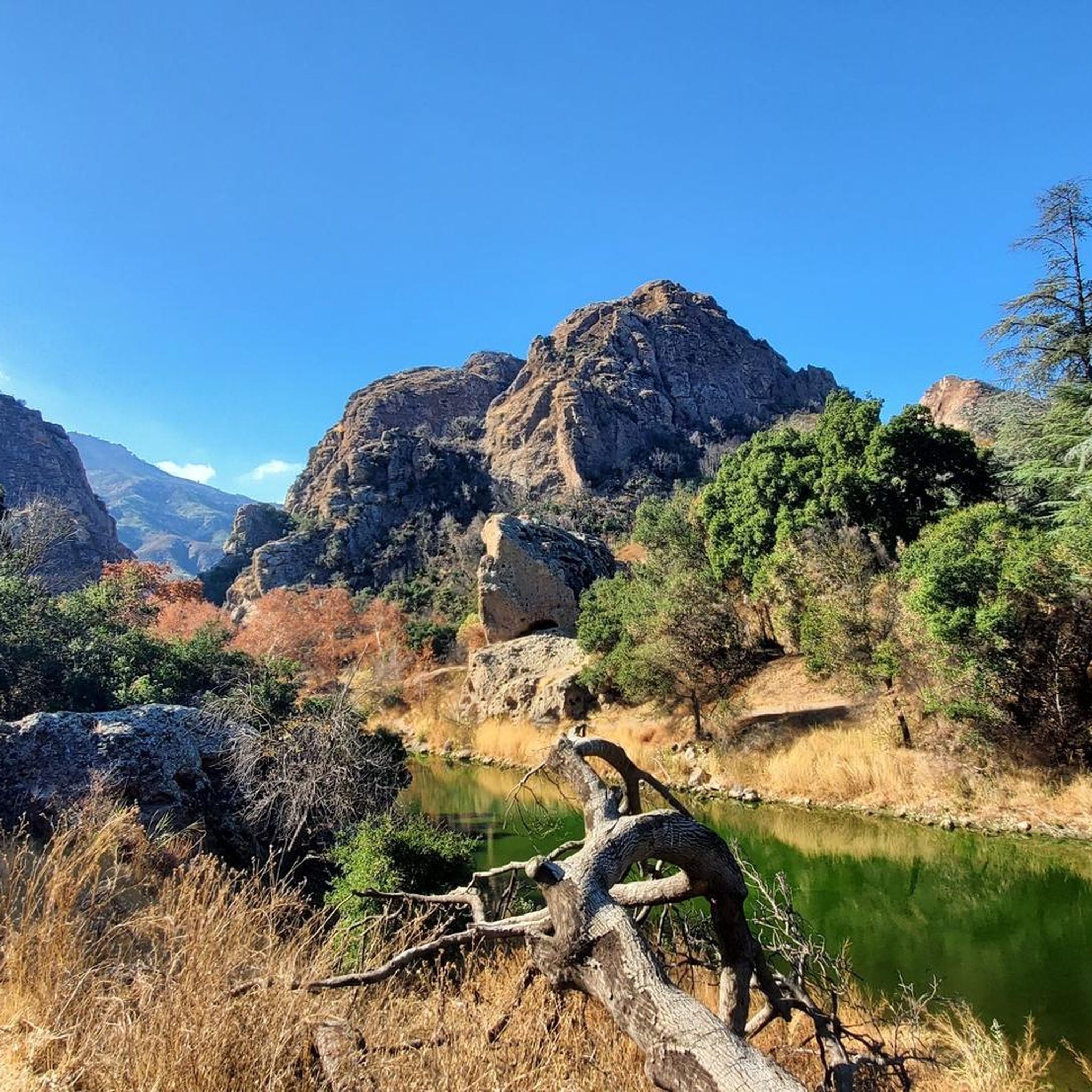
Embark on the Crags Road and High Road Loop for a moderate jogging experience through Malibu Creek State Park. This route spans 6.4 miles (10.3 km) and involves a total elevation gain of 565 feet (172 metres), typically taking about 1 hour and 13 minutes to complete. As you jog, you'll move through varied landscapes, from shady oak and sycamore woodlands to sunnier chaparral-covered hillsides. Keep an eye out for the picturesque Malibu Creek Rock Pools, a notable landmark along the way, and enjoy the views of volcanic rock gorges. You'll also catch expansive vistas looking out over the Las Virgenes Valley and Malibu Canyon.
When planning your jogging trip, you'll find parking readily available within Malibu Creek State Park, which serves as the trailhead for this loop. If you plan to bring a pet, remember that dogs are generally allowed in day-use areas and on paved roads, but usually prohibited on backcountry trails; always check current park regulations. Be mindful of potential natural hazards such as rattlesnakes, poison oak, and ticks, especially during warmer months. Staying on the clearly marked trails is always recommended for your safety and to protect the natural environment.
This loop offers a unique opportunity to explore the diverse ecosystems of Malibu Creek State Park, a region known for its rich natural history and striking geological formations. The trail follows Malibu Creek, allowing you to appreciate the tranquil scenic pools formed by the creek's flow through ancient volcanic rock. The park itself is a significant natural preserve, providing a vital habitat for local wildlife and a popular outdoor destination for those seeking a refreshing escape near the coast.
26
runners
17.2km
02:18
670m
670m
The Ray Miller and Overlook Trail Loop in Point Mugu State Park delivers a challenging and visually rewarding jogging experience. This difficult 10.7-mile (17.2 km) route, with its 2203 feet (671 metres) of elevation gain and estimated 2 hours and 18 minutes duration, offers incredible panoramic views of the Pacific Ocean from the Ray Miller Trail, and expansive inland vistas of Sycamore Canyon from the Overlook Fire Road. The terrain shifts from well-maintained singletrack to less rugged fire road, providing a varied workout for advanced joggers.
Plan your visit by arriving early to secure parking, which is available in a paid lot or sometimes along the Pacific Coast Highway. Be prepared for a sustained climb and carry ample water, especially during warmer months. It's also wise to be aware of potential hazards such as poison oak, ticks, and rattlesnakes, which are more prevalent in summer and fall.
This loop forms part of the extensive trail network within Point Mugu State Park, known for its diverse landscapes including coastal sage scrub and oak woodlands. The Ray Miller Trail itself is the westernmost section of the 68-mile Backbone Trail, a significant multi-park trail traversing the Santa Monica Mountains. Note that dogs and bikes are generally not permitted on the Ray Miller Trail.
15
runners
16.9km
02:14
790m
800m
Embark on the Zuma Ridge and Canyon Loop, a difficult jogging route spanning 10.5 miles (16.9 km) with a significant 2607 feet (794 metres) of elevation gain. This challenging journey, estimated to take around 2 hours and 14 minutes, offers continuous, sweeping views of the Pacific Ocean and the vast Santa Monica Mountains. You will traverse broad ridgelines, looking down on Zuma Beach and Point Dume, before descending into the quiet canyon bottoms, where a seasonal creek can create a lush, jungle-like atmosphere after rain. The trail combines fire roads with well-maintained singletrack, providing a varied and engaging experience for serious joggers.
To plan your visit, access the trail easily from Pacific Coast Highway (PCH) in Malibu, with trailheads located at the end of Busch Drive and Bonsall Drive. Be prepared for the climb up Zuma Ridge, which is continuous and largely exposed, offering very little shade. It is crucial to carry ample water, especially if you are jogging during the warmer summer months. You might also encounter equestrians along the way, as this route is popular with horse riders.
This route stands out as a rewarding experience within the Santa Monica Mountains National Recreation Area, known for its vigorous workout potential and incredible vistas. The
13
runners
4.80km
00:40
200m
200m
Moderate run. Good fitness required. Mostly paved surfaces. Suitable for all skill levels.
12
runners
4.67km
00:52
380m
380m
The Mugu Peak and Chumash Trail Loop offers a truly intense jogging experience, starting with a seriously steep, rocky ascent on the Chumash Trail. As you climb, you'll be treated to prime views of the shimmering Pacific Ocean, and from the summit of Mugu Peak, panoramic 360-degree vistas stretch across the Boney Mountains and Mugu Lagoon. Expect diverse terrain, from loose ground on the initial climb to rolling meadows, making it a dynamic and visually rewarding route.
This difficult 2.9-mile (4.7 km) loop packs in 1232 feet (376 metres) of elevation gain, which you can conquer in about 52 minutes if you're pushing hard. It's a challenging workout trail, so come prepared with good footwear for the steep, potentially loose sections. Remember that dogs are generally not allowed on this route, and it's wise to watch out for snakes during warmer seasons.
Beyond the physical challenge, this trail is notable for its rich cultural history, with Mugu believed to derive from the Chumash word for "beach." It's a local favorite for a vigorous morning run, offering a quick but demanding cardio session with stunning coastal and mountain backdrops. Keep an eye out for the recognizable triangular-shaped Mugu Rock and, in spring, the vibrant seasonal wildflowers.
Get access to more routes and recommendations from other explorers.
Sign up for free
Already have an account?
Our route recommendations are based on thousands of hikes, rides, and runs completed by other people on komoot.
Start today with a free account
Your next adventure awaits.
Login or Signup
Popular around Santa Monica Mountains

California Coastal Trail — Following the coastline from Mexico to Oregon

On the most beautiful route of California - The Pacific Coast Route
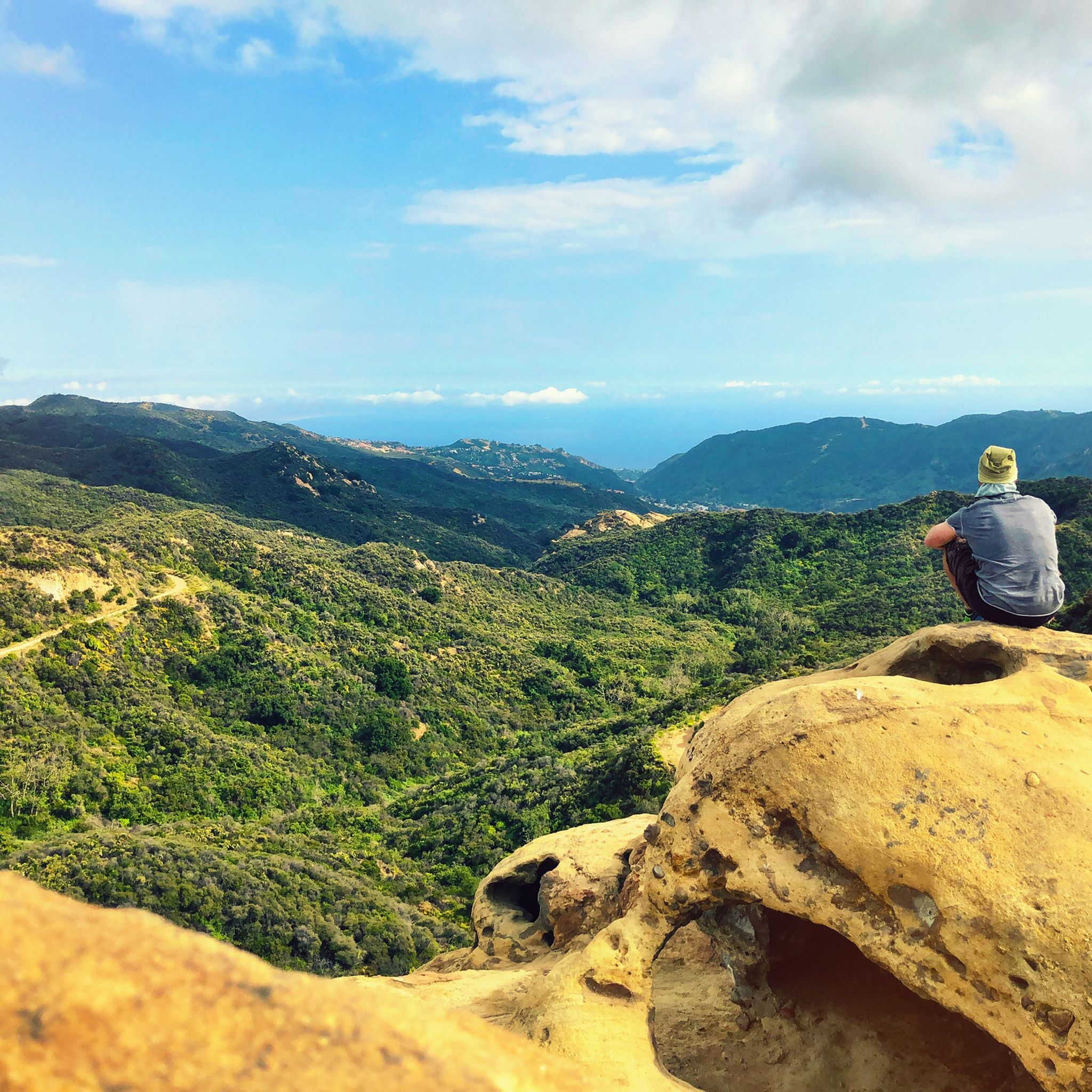
Hiking in the Santa Monica Mountains
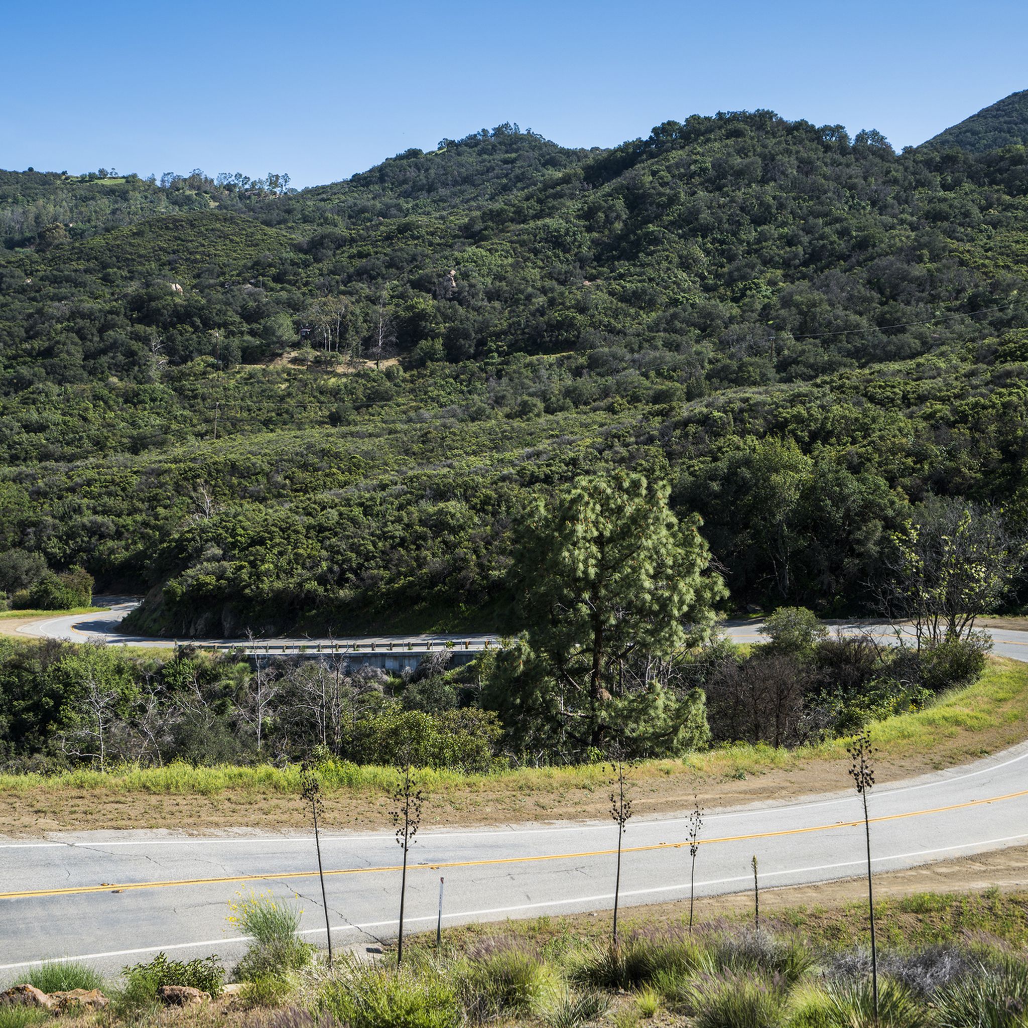
Road Cycling Routes in the Santa Monica Mountains
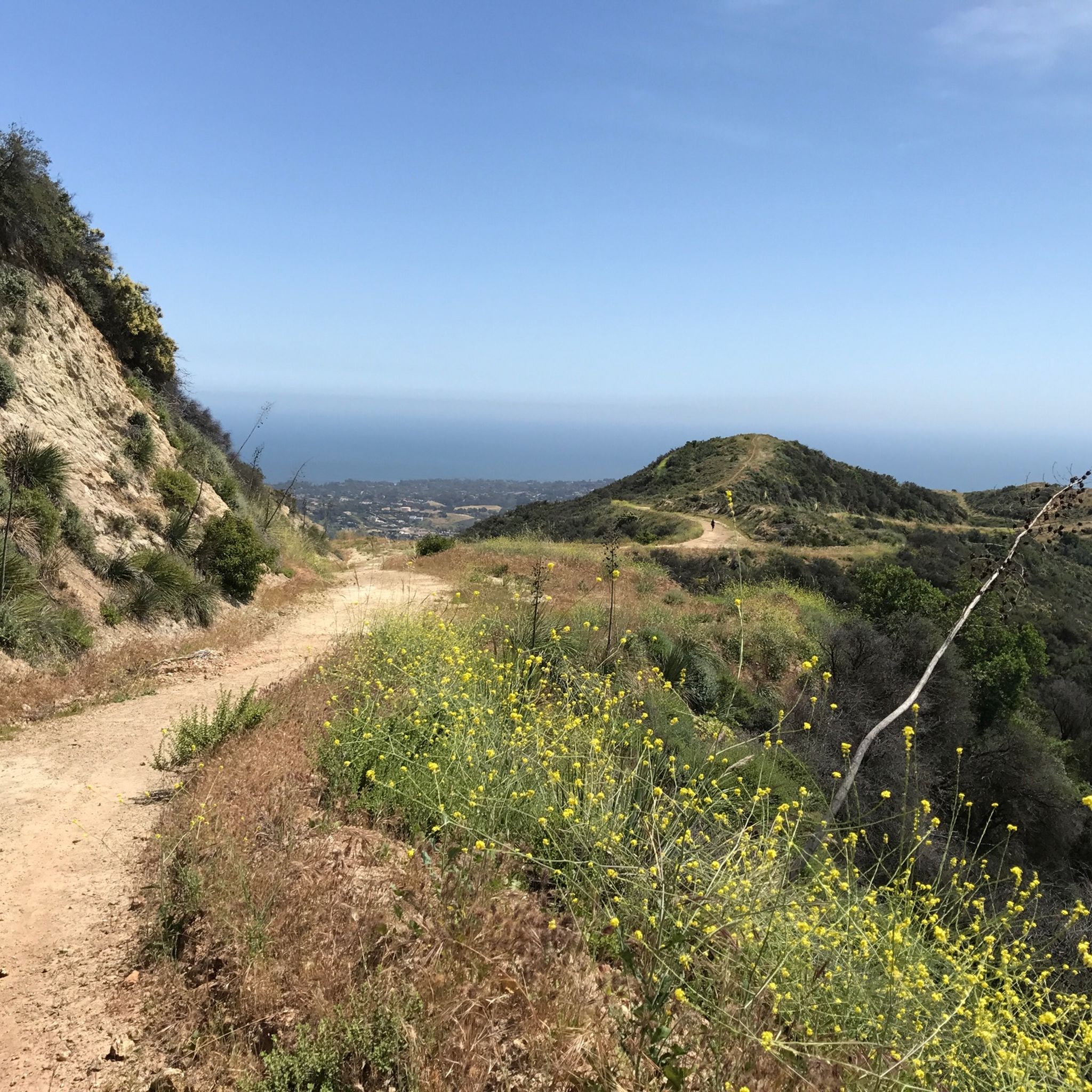
Cycling in the Santa Monica Mountains
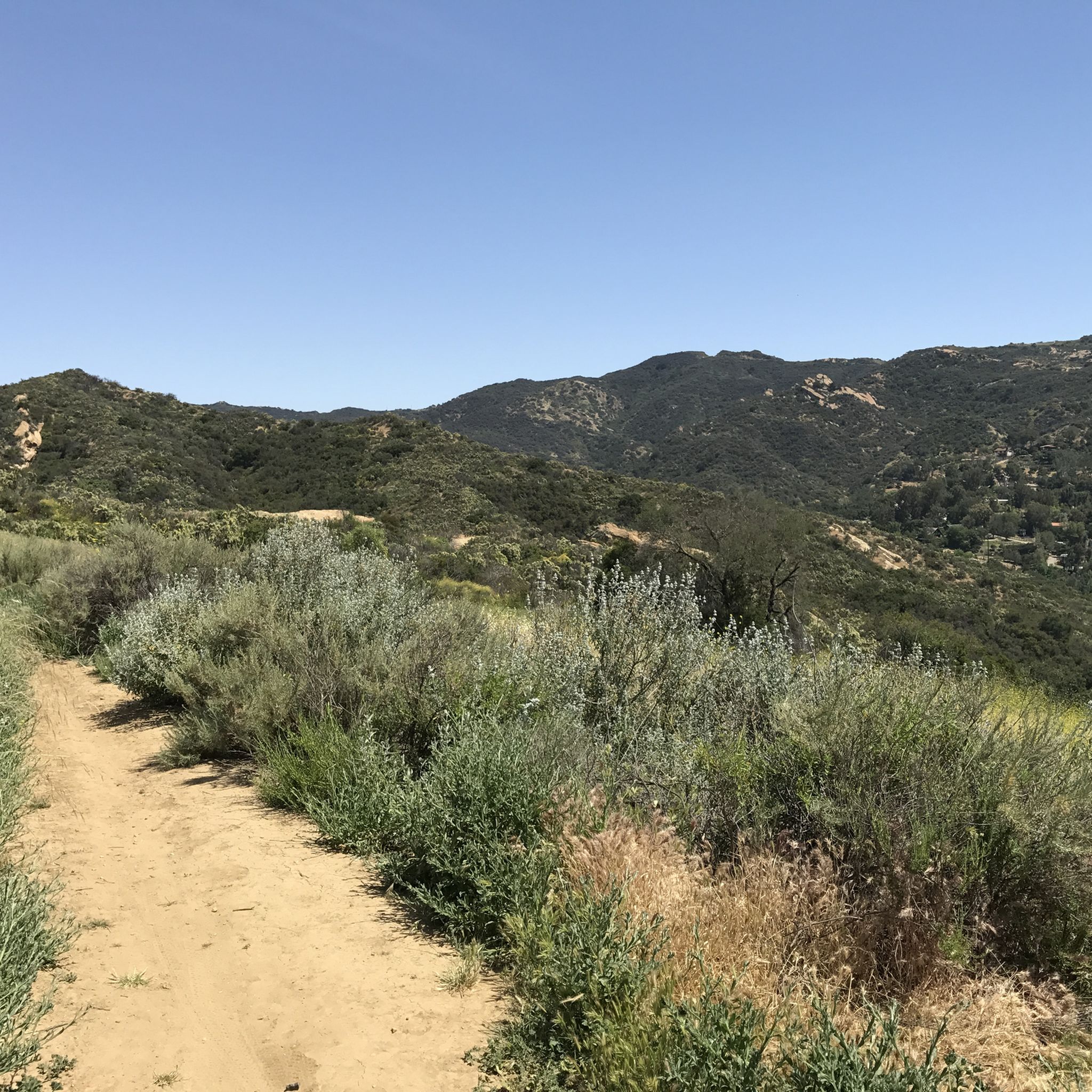
MTB Trails in the Santa Monica Mountains
Gravel biking in the Santa Monica Mountains


Tips from the Community

The Grasslands Trail is exactly what the name advertises: A nice, firm track through grassy meadows and a profusion of wildflowers in season. You won't find a lot of shade on this trail, but there are more trees — and a lot more shade — as you go farther into the park.
0
0

We look at the Santa Monica Pier and the surrounding area. This is also the end of Route 66. The route is very famous and legendary. Again and again you come across individual sections or you are reminded that this highway existed.
4
1

If you're lucky, like us, you can also see at least one sea lion 🦭.
2
0

Near the top of the Scenic Trail, it's worth a short detour to a coastal Overlook with a bench and sweeping views above Sycamore Cove.
0
0

One of the best options to get up to Backbone Trail and Guadalasca Trail. Whenever you need a rest: Just turn around and enjoy the view on the ocean.
0
0

Ray Miller Trail is part of the Backbone Trail in Point Mugu State Park. It climbs up the mountain in zigzag and offers great views of the ocean all along the trail. It is connected to Overlook Fire Road and Scenic Trail.
0
0

Westlake Lake is a stunning lake privately maintained for the residents of Westlake Village. However, there are many ways to enjoy its beauty. Popular activities include running, cycling, and walking around the lake via Triunfo Canyon and other adjacent streets. On the lake's southwest side, several lakefront restaurants offer indoor/outdoor dining. Alternatively, you can stroll around, enjoying the sweeping views and serenity.
0
0
The word "Zuma" derives from the Chumash word for abundance, so it's a fitting name for this part of the Santa Monica Mountains National Recreation Area. The canyons and ridges near here are rich with flora and fauna, nourished by the creeks that flow near here.
1
0
Frequently Asked Questions
How many running routes are available in the Santa Monica Mountains?
The Santa Monica Mountains offer a vast network of trails, with over 150 running routes available on komoot. These routes cater to various skill levels, including 9 easy, 74 moderate, and 67 difficult options, ensuring there's a path for every runner.
Are there any easy or beginner-friendly jogging trails in the Santa Monica Mountains?
Yes, the Santa Monica Mountains feature several easy and moderate trails perfect for beginners or those seeking a less strenuous run. A popular moderate option is the Temescal Canyon Loop Trail, which is about 3.5 miles long and offers scenic views. Another great choice is the Solstice Canyon Loop, a 3.0-mile path known for its shaded sections and waterfalls.
What kind of scenery can I expect while running in the Santa Monica Mountains?
Runners in the Santa Monica Mountains are treated to incredibly diverse scenery. You'll experience a Mediterranean-type ecosystem with oak and sycamore forests, coastal sage, and chaparral. Many routes offer stunning mountain vistas, rugged canyon walls, and expansive views of the Pacific Ocean, especially along the 46 miles of scenic coastline within the recreation area.
Are there any circular running routes in the Santa Monica Mountains?
Yes, many of the trails in the Santa Monica Mountains are designed as loops, providing varied scenery without retracing your steps. Examples include the Temescal Canyon Loop Trail and the Solstice Canyon Loop. For a longer, more challenging loop, consider the Zuma Ridge and Canyon Loop.
What are some notable landmarks or attractions I can see along the running trails?
The Santa Monica Mountains are rich with natural and historical attractions. Along your runs, you might encounter beautiful waterfalls like Temescal Canyon Falls or explore the historical ruins within Solstice Canyon. Other points of interest include the scenic Century Lake and the panoramic Parker Mesa Overlook. Many trails also offer views of the Pacific Ocean and access to beaches like Will Rogers State Beach.
Are there any running routes that offer views of waterfalls?
Absolutely! The Santa Monica Mountains feature trails where you can enjoy the sight of waterfalls. The Temescal Canyon Loop Trail is known for its scenic views and a waterfall. Similarly, the Solstice Canyon Loop also offers views of waterfalls amidst shaded paths and sycamore trees.
What do other runners say about the trails in the Santa Monica Mountains?
The running trails in the Santa Monica Mountains are highly regarded by the komoot community, boasting an average rating of 4.7 stars from over 25 reviews. Many runners praise the diverse ecosystems, the stunning coastal access, and the varied mountain vistas that make each run unique and rewarding. Over 2900 runners have used komoot to explore this region's terrain.
Are there any challenging running routes with significant elevation gain?
For runners seeking a challenge, the Santa Monica Mountains offer several difficult routes with substantial elevation gains. The Mishe Mokwa to Tri-Peaks and Sandstone Peak trail leads to the highest point in the range, offering a demanding climb and expansive views. Other difficult options include the Ray Miller and Overlook Trail Loop and the Mugu Peak and Chumash Trail Loop, both providing significant ascents.
Can I find trails that offer ocean views while running?
Yes, the Santa Monica Mountains are unique for their proximity to the Pacific Ocean, offering numerous running routes with spectacular coastal views. The mountains are adjacent to 46 miles of California coastline, allowing for runs with refreshing ocean breezes and panoramic vistas of the Pacific. Trails like the San Vicente and Ocean Avenue Loop provide excellent opportunities for coastal running.
What is the longest running route available in the Santa Monica Mountains?
One of the longer and more challenging routes available is the Century Lake and Mesa Peak Loop from Calabasas, which spans approximately 14.3 miles (23 km) and involves significant elevation changes. This route offers a comprehensive experience of the diverse terrain in the Santa Monica Mountains.
Are there any specific parks or areas within the Santa Monica Mountains that are particularly good for running?
Several parks and open spaces within the Santa Monica Mountains National Recreation Area are excellent for running. Topanga State Park, for instance, hosts the popular Temescal Canyon Trail. Solstice Canyon is another favorite, known for its shaded paths and waterfalls. Point Mugu State Park offers challenging trails with stunning ocean views, while Malibu Creek State Park is also a popular spot for outdoor activities including running.
Most popular routes in the Santa Monica Mountains
Most popular attractions in the Santa Monica Mountains

Get inspired with the komoot mobile app


Explore more
Browse the best Running Trails & Routes in other regions.
