The best running trails in the San Rafael Mountains
60
runners
6
runs
Jogging in the San Rafael Mountains offers a rugged and remote experience amidst diverse natural beauty. The terrain is characterized by steep, rocky conditions, prominent sandstone formations, and deep canyons, transitioning from chaparral to oak woodlands and coniferous forests. This region, largely within the Los Padres National Forest, features a varied landscape with significant elevation changes, providing challenging trail running opportunities. The San Rafael Wilderness, a large protected area, contributes to the extensive wild lands available for exploration.
Best jogging…
Last updated: June 28, 2026
4
runners
7.87km
01:00
150m
150m
Jog the moderate 4.9-mile Sweetwater Trail in Cachuma Lake Recreation Area, gaining 481 feet with scenic lake and hill views.
9.12km
01:10
210m
210m
Jog the Murietta Trail and Matilija Divide Trail Loop, a moderate 5.7-mile route with 674 feet of gain in Los Padres National Forest.

Sign up for free
45
runners
20.5km
02:10
230m
230m
The Dan Henry Bike Route – Hans Christian Andersen Park loop from Ballard offers a unique blend of natural beauty and cultural charm for joggers. You'll start amidst the whimsical…
6
runners
15.7km
02:23
820m
820m
Hard run. Very good fitness required. Mostly paved surfaces. Suitable for all skill levels.
3
runners
3.36km
00:21
20m
20m
Easy run. Great for any fitness level. Mostly paved surfaces. Suitable for all skill levels.
2
runners
19.1km
02:28
530m
530m
Hard run. Very good fitness required. Mostly paved surfaces. Suitable for all skill levels.
Our route recommendations are based on thousands of hikes, rides, and runs completed by other people on komoot.
Start today with a free account
Your next adventure awaits.
Login or Signup
Tips from the Community

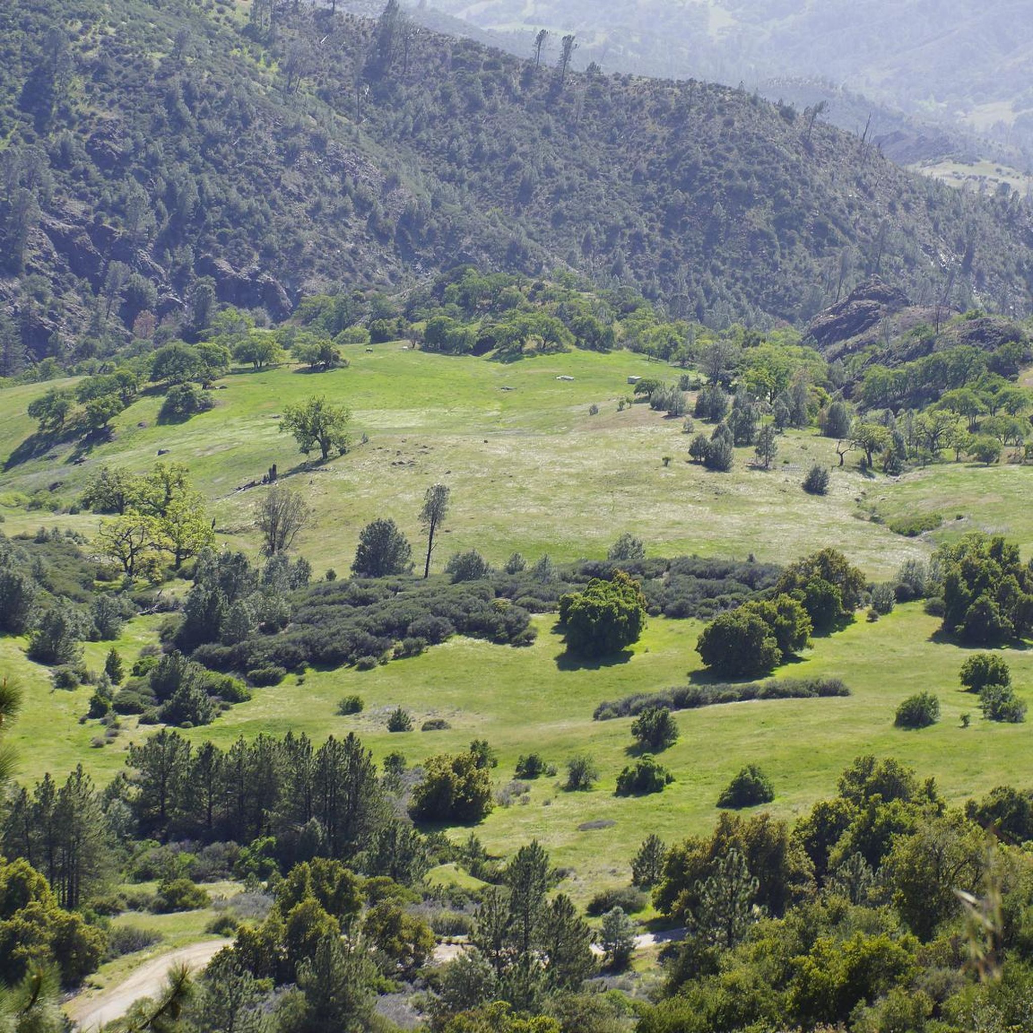
The Camuesa Connector Trail is a fantastic route from Big Pine/Buckhorn Road to Paradise Road along the Santa Ynez River and is a great ride the entire way. After a short descent, the trail levels off before climbing with several switchbacks. While all turns are rideable, it may be best to walk a few, even by intermediate riders. The real fun begins on the descent toward the river, with smooth sections, tight turns, and rocky areas where you’ll reach the riverbed after an exposed rocky section. This crossing varies, but is usually shallow.
0
0

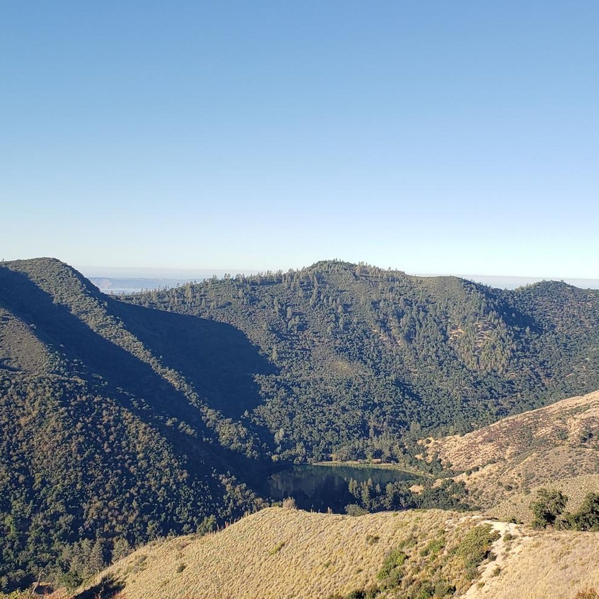
This trail passes by Matilija Creek and then goes close to Santa Ynes River. There's an oak forest along part of the trail, and you can see Murietta Canyon. Wildlife all around, be aware of snakes and poison oak.
0
0

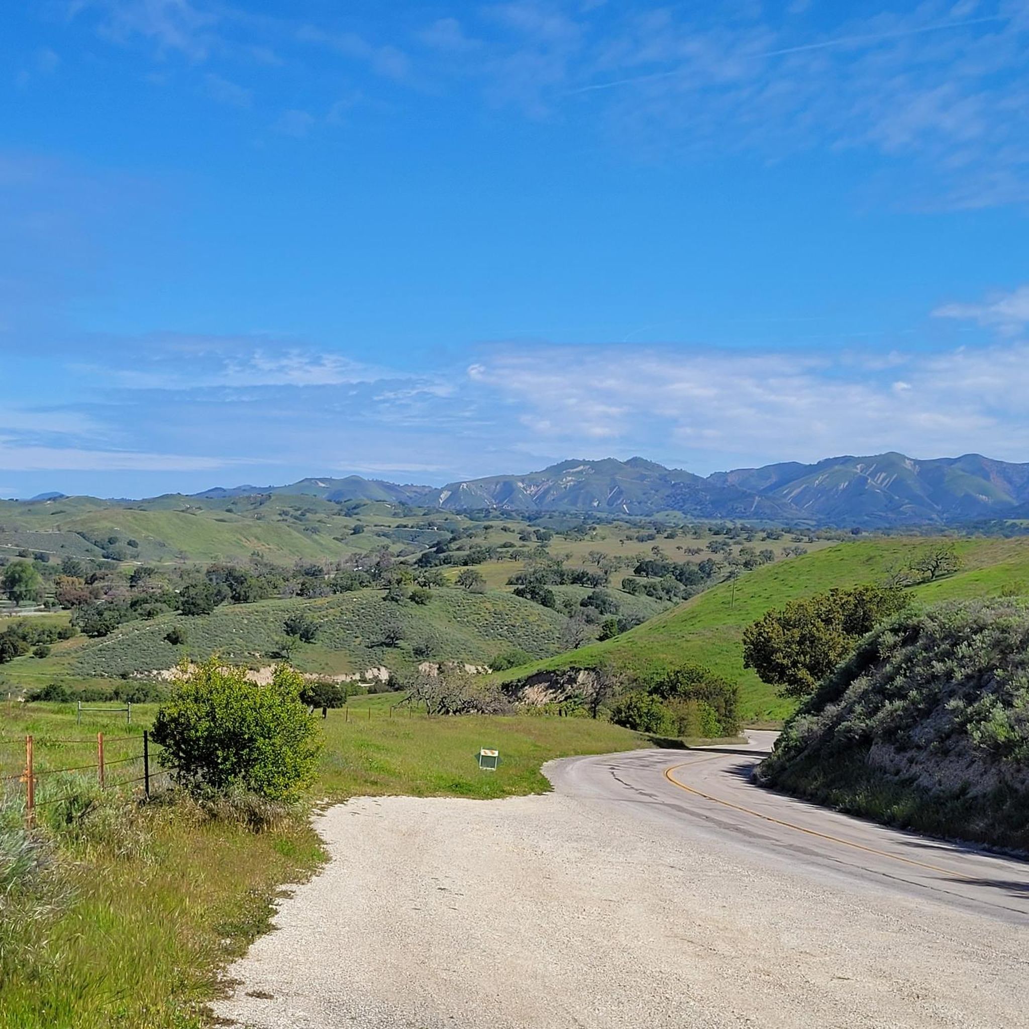
This is a beautiful running trail along the shores of Lake Cachuma. There's an abundance of wildflowers in the spring months and a few little trails off the route that take you right down to the water. The trail itself is compact dirt, but there are a few rocky parts so wear sensible shoes.
0
0
This lovely park is filled with large oak trees and a network of trails. It's in close reach to the centre of town, so easily accessible. You'll find grassy shaded areas perfect for additional exercise, along with picnic benches providing comfortable resting spots.
1
0
Small waterfall with a good-sized plunge pool for swimming, along Matilija Creek.
0
0

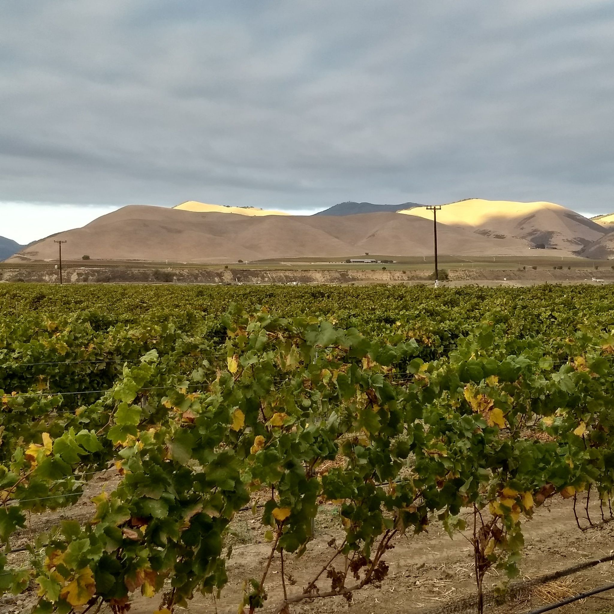
The Dan Henry Bike Route connects Solvang with Los Olivos. It starts on Alamo Pintado Rd at the Eastern end of the "historic" Solvang downtown. After 2/3 you make a couple of quick turns (just follow the signs for the Dan Henry Bike Route) into Grand Ave which leads you into down town Los Olivos. In case you wondered, Dan Henry is "a bicycling legend and inventor of directional pavement markings commonly used to guide participants along the route of organized bicycling events. The markers themselves are usually called 'Dan Henrys'". The Dan Henry Bike Route is part of the Solvang Century. It connects the Lompoc-to-Solvang leg via Santa Rosa Rd and Hwy 246 on the one side and Foxen Canyon Rd on the other. Alternatively you can take Figueroa Mountain Rd for a nice climb. The road is the continuation of Grand Ave beyond Hwy 154. http://cyclingcalifornia.me.ht/CyclingCalifornia/Solvang/DanHenryBikeRoute/Desc.html
2
0
Frequently Asked Questions
How many running routes are available in the San Rafael Mountains?
There are 6 running routes available in the San Rafael Mountains. These include 1 easy route, 2 moderate routes, and 3 difficult routes, offering options for various fitness levels.
What kind of terrain can I expect on running trails in the San Rafael Mountains?
The San Rafael Mountains offer a rugged and diverse landscape for trail running. You'll encounter varied terrain, from fire-adapted chaparral and oak woodlands on lower slopes to coniferous forests at higher elevations. Expect steep, rocky conditions with prominent sandstone formations and deep canyons, providing a challenging and scenic experience.
Are there any easy jogging routes suitable for beginners in the San Rafael Mountains?
Yes, for those looking for an easier run, the Running loop from Los Olivos is a great option. It's a shorter route with minimal elevation gain, perfect for a relaxed jog.
Are there any moderate running trails in the San Rafael Mountains?
Absolutely. For a moderate challenge, consider the Sweetwater Trail, which offers a good balance of distance and elevation. Another excellent choice is the Murietta Trail and Matilija Divide Trail Loop, providing a scenic and engaging run.
What are some challenging running routes for experienced trail runners?
Experienced trail runners will find plenty of challenges. The Broadcast Peak loop from Dining Hall is a demanding route with significant elevation changes. Another difficult option is the Camuesa Connector Trail loop from Lower Oso Picnic Site, known for its rugged terrain and rewarding views.
Are there any loop running trails in the San Rafael Mountains?
Yes, several routes offer a loop experience. Besides the Murietta Trail and Matilija Divide Trail Loop and the Broadcast Peak loop from Dining Hall, you can also explore the Dan Henry Bike Route – Hans Christian Andersen Park loop from Ballard for a longer, challenging loop.
What kind of wildlife might I encounter while running in the San Rafael Mountains?
The San Rafael Mountains are home to diverse wildlife. You might spot California mule deer, black bears, bobcats, and coyotes. Mountain lions are occasionally present, and California condors, an endangered species, are known to frequent the nearby Sespe Wilderness and are sometimes sighted here. Always be aware of your surroundings and respect wildlife.
Are there any interesting landmarks or attractions near the running routes?
Yes, the region offers several points of interest. You could visit the Fess Parker Winery, or explore the scenic Foxen Canyon Road. For those interested in peaks, Ranger Peak offers expansive views.
Can I bring my dog on the running trails in the San Rafael Mountains?
While many outdoor areas in California are dog-friendly, regulations can vary, especially within wilderness areas like parts of the San Rafael Mountains. It's always best to check the specific rules for the trail or area you plan to visit beforehand. Look for signage at trailheads or consult the Los Padres National Forest website for the most current information on pet policies.
What is the best time of year for jogging in the San Rafael Mountains?
The San Rafael Mountains can be enjoyed year-round, but spring and fall generally offer the most pleasant conditions for jogging with milder temperatures. Summers can be very hot, especially at lower elevations, while winters can bring cooler temperatures and occasional rain or snow at higher altitudes. Always check the weather forecast before heading out.
Are there options for parking at the trailheads?
Most trailheads in the San Rafael Mountains, particularly those leading into the Los Padres National Forest and wilderness areas, typically have designated parking areas. However, given the remote nature of some trails, parking might be limited or require a Adventure Pass. It's advisable to research specific trailhead parking availability and requirements for your chosen route in advance.
Most popular routes in the San Rafael Mountains
Most popular attractions in the San Rafael Mountains

Get inspired with the komoot mobile app


Explore more
Browse the best Running Trails & Routes in other regions.
