The best running trails in the San Gabriel Mountains
4.8
(37)
2,684
runners
196
runs
Jogging in the San Gabriel Mountains offers a diverse landscape with varied terrain and elevations, ranging from paved paths to challenging mountain trails. The region features prominent peaks, numerous canyons, and waterfalls, providing a range of scenic backdrops for running. Lower elevations include lush vegetation and riparian habitats along stream courses. An extensive network of trails is available, catering to different fitness levels.
Best jogging routes in the San Gabriel Mountains
- The most popular jogging route is Devil's Backbone Trail loop, a 10.2 miles (16.4 km) trail that takes 2 hours 55 minutes to complete. This difficult route features significant elevation gain and mountain vistas.
- Another top favourite among local runners is Bridge to Nowhere – Angeles National Forest, a difficult 10.0 miles (16.0 km) path. This trail offers rugged experiences and scenic views within the Angeles National Forest.
- Local runners also love the South Fork River Trail, a 7.9 miles (12.7 km) trail leading through riparian habitats, often completed in about 1 hour 18 minutes.
- Jogging in the San Gabriel Mountains is defined by varied terrain, mountain peaks, and canyons. The network offers options for easy, moderate, and difficult routes, accommodating different ability levels.
- The routes in San Gabriel Mountains are highly rated by the komoot community with an average score of 4.8 stars from more than 30 reviews. More than 3000 runners have used komoot to explore San Gabriel Mountains's varied terrain.
Last updated: July 7, 2026
74
runners
16.4km
02:55
1,190m
1,190m
Prepare for a challenging jogging experience on the Devil's Backbone Trail loop, a difficult route spanning 10.2 miles (16.4 km) with a significant 3888 feet (1185 metres) of elevation gain. This strenuous journey, estimated to take around 2 hours and 55 minutes, offers constant sweeping vistas from its exposed ridgeline. You will find yourself jogging along a distinctive narrow ridge with steep drop-offs, leading to the spectacular 360-degree panoramic views from the summit of Mount San Antonio, also known as Mt. Baldy.
This is not a casual jogging route; it demands very good fitness, sturdy shoes, and alpine experience due to its rugged and demanding nature. The trail becomes exceptionally dangerous in winter, often requiring mountaineering equipment because of ice and snow. Even during warmer months, you should exercise caution due to the exposed conditions and rugged terrain.
Located in the Angeles National Forest, the Devil's Backbone Trail is renowned for its immense views that make the effort worthwhile. On clear days, you can spot distant peaks like Mount San Gorgonio and Mount San Jacinto from the summit. The trail's unique geological formation, with its narrow backbone and steep slopes, sets it apart as a truly memorable and demanding adventure.

22
runners
16.0km
01:51
400m
400m
Hard run. Very good fitness required. Mostly paved surfaces. Suitable for all skill levels.

Sign up for free
20
runners
12.7km
01:19
40m
40m
The South Fork River Trail offers a pleasant jogging experience along the river. You can expect picturesque views of the water and surrounding nature as you move along the path. The trail winds through varied trees, shrubs, and grassy meadows, providing a refreshing natural setting for your run. This moderate route covers 7.9 miles (12.7 km) and involves a gentle elevation gain of 124 feet (38 metres). Most people complete the jogging route in about 1 hours and 18 minutes, making it ideal for a steady, enjoyable workout.
Before you head out, it is always wise to check local conditions, especially after heavy rain, as some river trails can be prone to flooding. Parking for the South Fork River Trail is generally available, making access straightforward for your visit. Consider starting your jog in the morning to enjoy cooler temperatures and potentially fewer people on the path. You will find the trailhead easily accessible, allowing for a smooth start to your activity.
This trail is a great way to experience the local flora and fauna while enjoying your run. As you jog, you might notice various plant species and listen to the sounds of the river, which often accompanies you. The route is known for its consistent river access and natural beauty, making it a popular choice for those seeking an immersive outdoor experience close to the water. It stands out as a reliable option for a refreshing jog in the area.
4.0
(1)
19
runners
9.74km
01:23
410m
410m
Prepare for a challenging jogging experience on the Don Mullally Trail, a difficult route covering 6.1 miles (9.7 km). You will encounter a significant elevation gain of 1356 feet (413 metres), typically taking about 1 hour and 23 minutes to complete. The terrain shifts from initial paved sections to wide dirt paths, eventually narrowing into singletrack as you navigate winding ascents and descents. As you push through, you'll be rewarded with panoramic views overlooking the Newhall Valley and the surrounding mountains. Keep an eye out for the distinctive rock formations within 'The Narrows' section, a memorable part of your journey.
When planning your visit, be aware that the Don Mullally Trail has significant sun exposure, with several sections offering little shade. This can make the climbs particularly warm, so consider an early start or bringing ample water. Access to the trailhead is generally straightforward, with parking usually available on site. Near the Towsley Lodge, you will find convenient amenities such as a picnic area, restrooms, and a water fountain, perfect for a break before or after your jog.
This trail offers a unique glimpse into the natural environment of Santa Clarita Woodlands Park. Beyond the varied terrain and scenic vistas, you might notice natural tar pits along the route. These geological features are a distinctive characteristic of the area, adding an interesting element to your outdoor adventure. The Don Mullally Trail stands out as a rigorous workout option for experienced joggers in the region.
5.0
(1)
10
runners
15.5km
01:53
640m
640m
Embark on a challenging jogging adventure up Los Pinetos Peak via Santa Clara Trail, a difficult route spanning 9.6 miles (15.5 km) with a significant 2101 feet (640 metres) of elevation gain. As you ascend, you'll jog through varied terrain, transitioning from chaparral to shady oak forests, all while enjoying expansive views of the surrounding mountains and valleys. The journey culminates at the 3,560-foot summit of Los Pinetos Peak, where panoramic vistas await, making the estimated 1 hour and 53 minutes of effort truly rewarding.
Be prepared for a robust workout on this trail, as it features considerable elevation changes and diverse ground conditions. Some sections are notably steep, loose, and rutted, particularly near the bottom. Since this is a popular destination for various outdoor enthusiasts, remember to share the path with hikers, mountain bikers, and equestrians, especially when navigating blind corners.
This route offers a fantastic opportunity to experience the natural beauty of Angeles National Forest. Keep an eye out for seasonal wildflowers that add splashes of color along the way. The trail's demanding nature and the stunning views from Los Pinetos Peak make it a standout option if you are seeking a vigorous jogging experience in a beautiful mountain setting.
8
runners
8.36km
01:07
250m
250m
Get ready to jog the Canyon Trail, a moderate 5.2-mile (8.4 km) route that winds through the natural landscape of Placerita Canyon State Park. You'll experience a varied mix of terrain, including sections of the Placerita Canyon Trail and the scenic Waterfall Trail. As you navigate the moderate inclines and descents, keep an eye out for local wildlife and enjoy the peaceful atmosphere. This jogging adventure involves gaining 813 feet (248 metres) in elevation, and you can expect to complete it in about 1 hour and 7 minutes.
Planning your visit to the Canyon Trail is straightforward. You'll find parking readily available at the Placerita Canyon State Park trailhead, making access simple. Before heading out, always check for any local park advisories regarding specific conditions or potential closures. It's wise to carry enough water, particularly on warmer days, as parts of the route can be exposed to the sun. This ensures you stay hydrated and comfortable throughout your jogging experience.
The Canyon Trail offers a unique opportunity to explore the diverse natural environment within Placerita Canyon State Park. The route's blend of the Placerita Canyon Trail and the Waterfall Trail provides a dynamic experience, showcasing the area's varied ecosystems. You'll encounter a rich array of local flora and fauna, making it a great choice for those who appreciate nature while getting a good workout. This trail stands out for its accessibility and the chance to immerse yourself in a natural setting close to urban areas.
7
runners
11.8km
01:54
530m
530m
If you're looking for a challenging jogging experience, the Canyon, Los Pinetos, and Viper Trails Loop delivers. This difficult 7.3-mile (11.8 km) route will test your endurance with a significant 1727 feet (526 metres) of elevation gain, typically taking around 1 hour and 53 minutes to complete. As you jog, you'll move through diverse scenery, starting in shady oak forests along the Canyon Trail before opening up into chaparral. The Los Pinetos Trail offers some of the most significant climbs, rewarding your effort with expansive panoramic views of the surrounding mountains and valley. Expect natural dirt trails, some of which are narrow and steep, providing a varied and engaging workout.
Planning your visit to this challenging loop is essential for a good experience. You should carry plenty of water, especially during warmer months, as shade is limited in many sections of the trail. Remember that the trails are shared with hikers, mountain bikers, and horseback riders, so always practice good trail etiquette. Be aware of potential wildlife such as rattlesnakes and ticks; staying on established paths and wearing appropriate clothing is advisable for your safety.
This route is located within Placerita Canyon State Park, an area known for its rich natural history and diverse ecosystems. The park itself is a significant natural landmark, offering a glimpse into Southern California's unique chaparral and oak woodland habitats. The combination of varied terrain and elevation changes makes this loop a notable option for those seeking a strenuous physical test within a beautiful natural setting. It stands out as a prime destination for experienced joggers in the region.
5
runners
8.24km
01:10
400m
400m
Start your difficult jogging adventure on the O'Melveny Park to Mission Point Loop, a challenging route spanning 5.1 miles (8.2 km). You'll begin amidst the pleasant green lawns and shaded oak and eucalyptus trees of O'Melveny Park. As you ascend, the path becomes more exposed, leading you towards the summit of Mission Point. This climb involves a significant elevation gain of 1319 feet (402 metres), typically taking about 1 hour and 10 minutes to complete. From the top, you are rewarded with sweeping 360-degree views across the San Fernando Valley, the Santa Monica Mountains, and the San Gabriels.
When planning your visit, you can find parking directly at O'Melveny Park, though the main lot can fill up quickly, so consider street parking as an alternative. Restrooms are conveniently located near the trailhead for your comfort before and after your run. If you enjoy jogging with your canine companion, dogs are welcome on a leash, making this a great option for a shared outdoor experience.
The trail offers a unique perspective of the region, especially during springtime when wildflowers add vibrant color to the landscape. The journey to Mission Point summit provides not just a physical challenge but also a chance to appreciate the natural beauty and expansive vistas of the surrounding mountain ranges. This route stands out for its combination of accessible parkland and rigorous uphill sections, culminating in memorable panoramic views.
5
runners
7.22km
01:03
350m
350m
If you're ready for a difficult jogging challenge, the Mission Point Loop offers a rewarding experience. This 4.5-mile (7.2 km) route features a substantial elevation gain of 1153 feet (351 metres), typically taking about 1 hour and 3 minutes to complete. You'll navigate varied terrain, including natural paths and fire roads, with steady climbs and rolling hills. The highlight is reaching Mission Point, which provides expansive 360-degree panoramic views of the San Fernando Valley and surrounding mountains. Look for wildflowers adding color to the landscape if you visit during springtime.
When planning your visit, be aware that much of the trail lacks shade. It's advisable to jog this route during cooler months or early in the morning to avoid intense heat. Parking is generally available at O'Melveny Park, where the trail begins. Always carry sufficient water for your workout, especially given the trail's demanding nature.
This challenging loop is a popular choice within O'Melveny Park for those seeking a vigorous jogging session. The park itself provides a natural escape, and this particular route stands out for its significant elevation changes and the impressive vistas from Mission Point. It's an excellent option if you want to push your limits and enjoy sweeping views of the region.
4
runners
4.81km
00:35
100m
100m
Start your jogging adventure on the Whitney Canyon Road Trail, a moderate route that covers 3.0 miles (4.8 km) and gains 341 feet (104 metres) in elevation. You can expect to complete this journey in about 34 minutes. The trail begins on a wide, unpaved road that follows a dry creekbed, offering expansive views of the surroundings. As you continue, the scenery shifts dramatically into a lush green oak forest, providing a welcome canopy of shade. Deeper into the canyon, you will encounter impressive towering rocks and cliff faces, with the creek becoming a more constant companion on your way to the beautiful Whitney Canyon Falls.
When planning your visit, you will generally find parking available right at the trailhead, making access straightforward. While the initial parts of the path are smooth and suitable for strollers, be aware that the terrain becomes rockier and more uneven as you venture deeper into the canyon. If you are bringing your canine companion, dogs are welcome to join you on the trail, but remember to keep them on a leash at all times for their safety and the comfort of other users. Consider starting your jog earlier in the day to enjoy cooler temperatures and more serene conditions, especially during warmer months.
This trail offers a varied experience for joggers, combining natural beauty with a good workout as you transition from open views to shaded forest. The transformation of the landscape into a magical stretch of green oak forest creates a unique atmosphere, almost like stepping into a fairytale. The presence of the creek, which becomes more consistent as you progress, adds to the natural charm of the route. The ultimate reward for your effort is reaching the picturesque Whitney Canyon Falls, a serene spot that marks the end of the trail.
Get access to more routes and recommendations from other explorers.
Sign up for free
Already have an account?
Our route recommendations are based on thousands of hikes, rides, and runs completed by other people on komoot.
Start today with a free account
Your next adventure awaits.
Login or Signup
Popular around San Gabriel Mountains

Bikepacking California — Into The Desert

Pacific Crest Trail from Mexico to Canada – 4,200 kilometres of wilderness
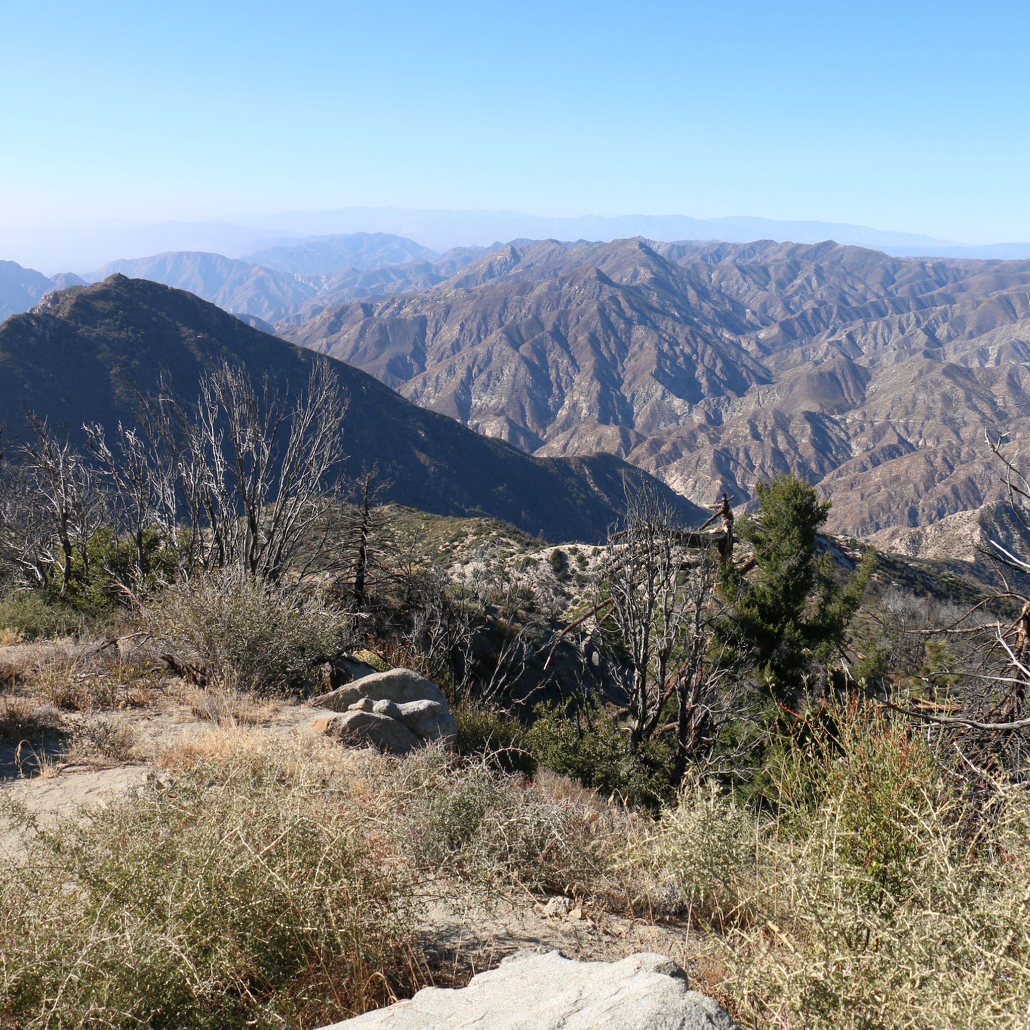
Hiking in the San Gabriel Mountains
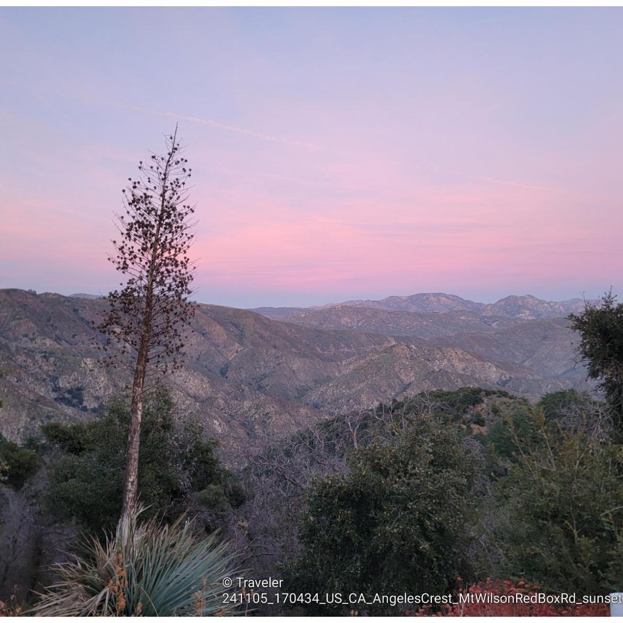
MTB Trails in the San Gabriel Mountains
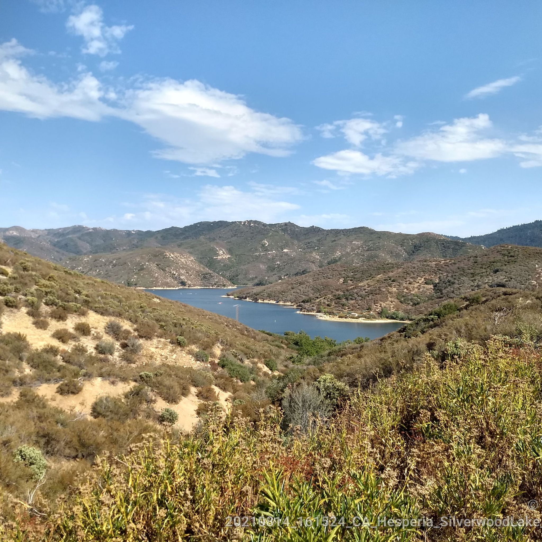
Road Cycling Routes in the San Gabriel Mountains
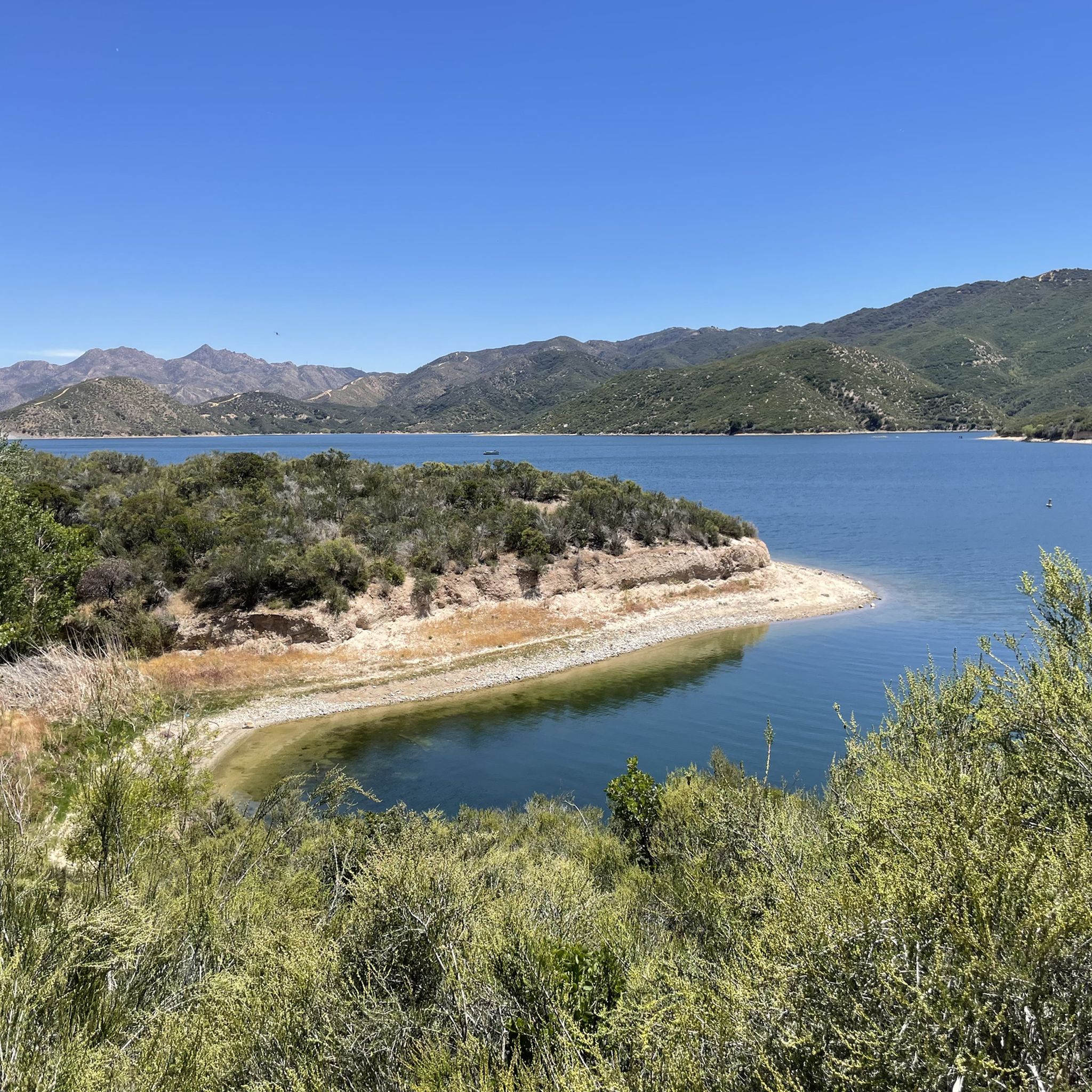
Cycling in the San Gabriel Mountains
Gravel biking in the San Gabriel Mountains
Other adventures in the San Gabriel Mountains


Tips from the Community

Steep going up but we'll worth the views at Mission Point. Watch for coyotes. Not too technical. usually dry and exposed trail.
0
0

Beautiful views, difficult due to the steepness of the trail, you must be in good health due to the steepness of the terrain
0
0

The Devils Backbone Trail is one of the most popular trails to summit Mount San Antonio (Mt. Baldy). Unlike the other most popular trail, the Baldy Bowl, or Ski Hut, Trail this trail is longer and more gradual making for a somewhat easier, but still very challenging experience.
0
0

The Baldy Bowl Trail, or the Ski Hut Trail, is the shortest way up to the summit of Mount San Antonio (Mt. Baldy), the highest point in Los Angeles County. In order to achieve this however, the trail more or less bombs up the side of the mountain and is quite steep.
0
0

Mount San Antonio, also known as Old Baldy or Mount Baldy, is the highest peak in the San Gabriel Mountains at 10,069 feet (3,069 m) and the highest point in Los Angeles County, California. The sometimes snow-capped summit of Mount San Antonio is also visible in Los Angeles on clear days and is a dominant sight from the city.
1
0

At 3,560 feet, Los Pinetos Peak serves as the highest point along Santa Clara Divide Road. The lower sections of the roads leading to the summit are paved, but all the paths turn to dirt and are closed to public vehicles (besides bikes and pedestrians). There are great views of the valley and foothills from the summit.
0
0

Mission Point is a popular destination for hikers and mountain bikers. The views from the top are spectacular and you can see most of the San Fernando Valley and on a clear day the ocean.
0
0

O'Melveny Park in Granada Hills is a large park, it is the second largest park in Los Angeles County after Griffith Park. It is a great place to hike or run. Having a run out up the O'Melveny Trail up to Mission Point is great fun, not that overcrowded and it has great mountain views.
0
0
Frequently Asked Questions
How many running routes are available in the San Gabriel Mountains?
The San Gabriel Mountains offer an extensive network of over 200 running routes. These trails cater to a wide range of fitness levels, from easy jogs to challenging mountain runs.
What kind of terrain can I expect on the jogging trails in the San Gabriel Mountains?
You'll find a diverse range of terrain, from relatively flat, paved paths to challenging mountain trails with significant elevation gain. The region features lush riparian habitats along stream courses, canyons, and unique geological formations like those at Vasquez Rocks Natural Area Park, providing varied backdrops for your run.
Are there any easy or beginner-friendly jogging routes in the San Gabriel Mountains?
Yes, the San Gabriel Mountains offer options for almost any fitness level. There are 10 easy routes available, and many trails, like sections of the Claremont Wilderness Loop, are accessible for beginners. For a moderate option, consider the Whitney Canyon Road Trail, which is just under 5 km with minimal elevation gain.
Can I find routes with waterfalls or scenic canyons for my run?
Absolutely! The San Gabriel Mountains are home to numerous canyons and waterfalls. Notable examples include Eaton Canyon Waterfall, Sturtevant Falls, Fish Canyon Falls, and Cooper Canyon Falls, all offering scenic routes and refreshing views for runners.
What do other runners enjoy most about jogging in the San Gabriel Mountains?
The running routes in the San Gabriel Mountains are highly rated by the komoot community, with an average score of 4.8 stars from over 30 reviews. Runners often praise the varied terrain, majestic mountain views, and the opportunity to experience both challenging climbs and serene riparian habitats.
Are there any circular running routes in the San Gabriel Mountains?
Yes, many routes in the San Gabriel Mountains are designed as loops. For a challenging circular run, you might explore the Canyon, Los Pinetos, and Viper Trails Loop, which covers over 11 km with significant elevation. Another option is the Mission Point Loop, a 7.2 km challenging trail.
What are some notable landmarks or points of interest I might see while running?
Beyond the natural beauty, you can encounter historical sites and impressive viewpoints. For instance, the Mount Lowe Railway Ruins on Echo Mountain offer a glimpse into the area's past. You might also spot prominent peaks like Mount Baldy or enjoy panoramic views from Seven Trees Overlook.
Are there any long-distance running trails for experienced runners?
Experienced runners will find plenty of challenging options. Many routes extend over 10 miles with significant elevation gain. For example, the Los Pinetos Peak via Santa Clara Trail is a difficult 15.5 km route, and the Don Mullally Trail offers a challenging 9.7 km run.
Are there any trails that follow river courses or offer shaded running?
Yes, at lower elevations, you can find trails that wind through broadleaf forestation and riparian habitats, providing shade and a refreshing experience. The South Fork River Trail is a great example, leading through such environments and offering a moderate 12.7 km run.
What is the accessibility like for the San Gabriel Mountains, especially for those coming from Los Angeles?
The San Gabriel Mountains are highly accessible, serving as a crucial recreational 'backyard' just 90 minutes from Los Angeles. They provide 70% of Los Angeles County's open space, making them a convenient escape for millions seeking outdoor activities like jogging.
Are there any facilities or places to rest near the running trails?
Yes, you can find various facilities within the San Gabriel Mountains. For instance, there are several huts and campgrounds like San Antonio Ski Hut or Crystal Lake Campsite and Cafe, which might offer places to rest or grab a bite.
Most popular routes in the San Gabriel Mountains
Most popular attractions in the San Gabriel Mountains

Get inspired with the komoot mobile app


Explore more
Browse the best Running Trails & Routes in other regions.
