The best running trails around Lacapelle-Pinet
109
runners
7
runs
Jogging routes around Lacapelle-Pinet traverse a diverse landscape in the Tarn department of France, characterized by river valleys, plateaus, and woodlands. The region offers varied terrain, from shaded riverside paths along the Viaur to more challenging ascents on higher ground. This area provides a mix of natural features suitable for different running preferences and fitness levels.
Best jogging routes around Lacapelle-Pinet
- The most popular jogging route is Running loop from Tanus, a 9.8 miles (15.8 km) trail that takes…
Last updated: June 29, 2026
33
runners
10.5km
01:27
390m
390m
Hard run. Very good fitness required. Mostly paved surfaces. Suitable for all skill levels.
33
runners
10.2km
01:18
250m
250m
Moderate run. Good fitness required. Mostly paved surfaces. Suitable for all skill levels.

Sign up for free
4.0
(1)
27
runners
17.1km
02:10
470m
470m
Hard run. Very good fitness required. Mostly paved surfaces. Suitable for all skill levels.
2
runners
13.1km
01:24
160m
160m
Moderate run. Good fitness required. Mostly paved surfaces. Suitable for all skill levels.
2
runners
13.7km
01:27
170m
170m
Moderate run. Good fitness required. Mostly paved surfaces. Suitable for all skill levels.
Get access to more routes and recommendations from other explorers.
Sign up for free
Already have an account?
Our route recommendations are based on thousands of hikes, rides, and runs completed by other people on komoot.
Start today with a free account
Your next adventure awaits.
Login or Signup
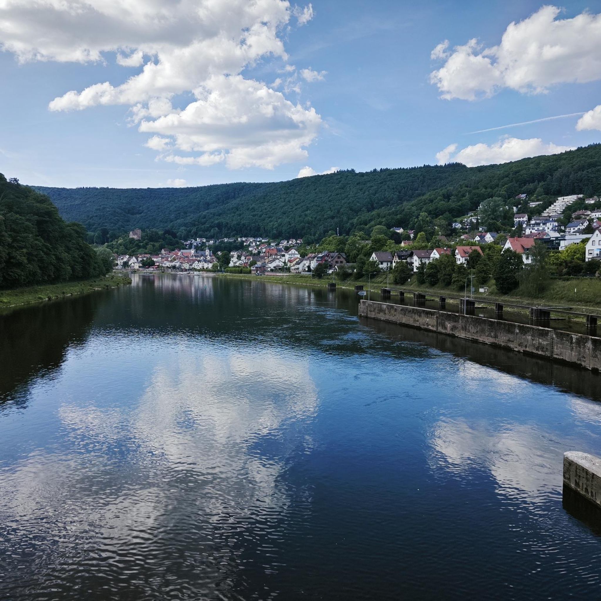
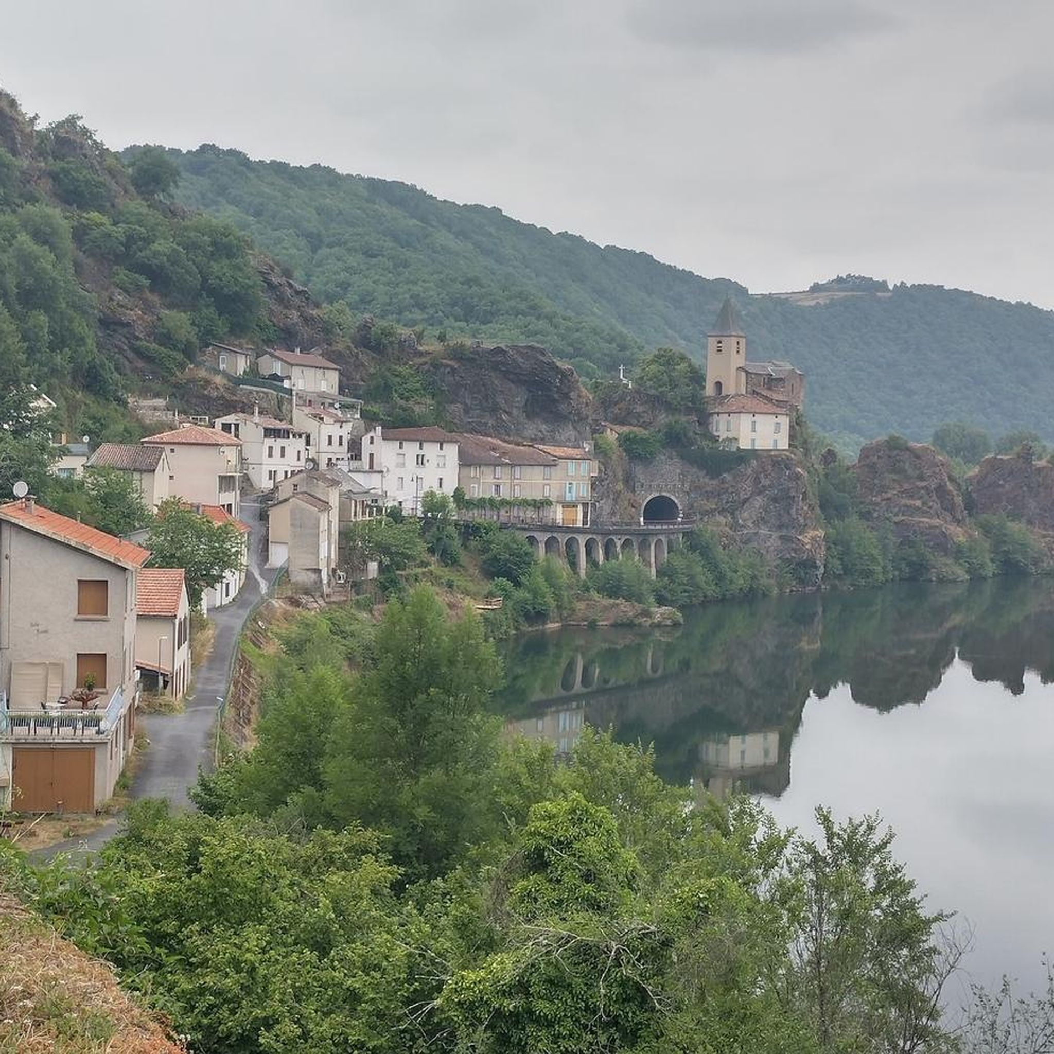


Tips from the Community

This village used to be a place of commerce for the surrounding farmers and local businesses. The town is built around the animal market and regular weekend food and antique markets are still held in the summer time. You will also find some local shops, mini-market and cafes on the main street.
0
0

The Notre-Dame-de-Lasplanques church, once surrounded by a small hamlet, dates back to the 11th century. Its lost location in the Viaur valley and its defensive architecture allowed the population to take refuge there in the event of an attack, in particular from trucking companies (looter soldiers and mercenaries of the Middle Ages).
0
0
Frequently Asked Questions
How many running routes are available around Lacapelle-Pinet?
There are 10 dedicated running routes around Lacapelle-Pinet featured on komoot, offering a variety of experiences for different fitness levels.
Are there any easy or beginner-friendly jogging routes in the area?
While there are no routes explicitly rated 'easy', 6 of the routes are classified as 'moderate'. These typically offer a good balance of distance and elevation, making them suitable for those looking for a less strenuous run. For example, the Running loop from Aire de Vision du Gô is a moderate 10.2 km trail with manageable elevation.
What kind of terrain can I expect on the running trails near Lacapelle-Pinet?
The region offers a diverse landscape for runners, including shaded paths along the Viaur river in the Viaur Valley, woodlands, and higher plateaus. You'll find a mix of riverside trails and more challenging ascents with significant elevation changes, providing varied experiences from tranquil runs to demanding workouts.
Are there any challenging running routes for experienced runners?
Yes, Lacapelle-Pinet offers several challenging routes. For instance, the Château de Tanus le Vieux loop from Tanus is a difficult 32.9 km route with over 1100 meters of elevation gain, perfect for those seeking a demanding long-distance run. Other difficult options include the Running loop from Tanus and the Running loop from La Carairie.
Can I find circular running routes around Lacapelle-Pinet?
Absolutely! All the running routes listed in this guide are circular loops, meaning you'll start and finish at the same point. This makes planning your run and parking much more convenient. Examples include the Running loop from Aire de Vision du Gô and the Valence-d'Albigeois loop from Valence-d'Albigeois.
What are some scenic viewpoints or landmarks I can see while running?
The region is rich in natural beauty and historical sites. For panoramic views, consider routes that ascend to areas like Puy Saint-Georges, where you might even spot the Pyrénées on clear days. Along the Viaur Valley, you can encounter landmarks such as the Thuriès Castle and Viaur Dam, or the historic Pont de Thuriès. The Church of Notre-Dame-de-Lasplanques is another notable sight.
Are the running trails around Lacapelle-Pinet suitable for families?
While specific 'family-friendly' ratings aren't provided, the 'moderate' routes, such as the Running loop from Aire de Vision du Gô, could be suitable for active families with older children. These routes offer diverse scenery without the extreme difficulty of the 'difficult' trails. Always check the distance and elevation profiles to ensure they match your family's capabilities.
What do other runners say about the jogging experience in Lacapelle-Pinet?
The running routes in Lacapelle-Pinet are highly regarded by the komoot community, with an average rating of 4.0 out of 5 stars. Runners often praise the diverse landscapes, from shaded riverside paths to elevated viewpoints, and the peaceful, immersive experience of connecting with nature in this rural part of the Tarn department.
When is the best time of year to go running in Lacapelle-Pinet?
The diverse terrain, including shaded paths along the Viaur river, makes the area enjoyable in various seasons. Spring and autumn offer pleasant temperatures and vibrant scenery. Even in warmer weather, the shaded sections of routes in the Viaur Valley provide a cooler environment. For elevated views, clear days are best, especially for spotting the Pyrénées from spots like Puy Saint-Georges.
Are there any specific natural features that make running unique here?
Absolutely. The Viaur Valley is a defining feature, offering shaded paths along the river and through woodlands, which are particularly pleasant for running. For a different experience, the Puy Saint-Georges on the Ségala plateau provides a more challenging uphill run rewarded with spectacular panoramic views, making the region unique for its blend of riverside tranquility and elevated vistas.
What is the longest running route available in this guide?
The longest route featured is the Château de Tanus le Vieux loop from Tanus, which spans approximately 32.9 km (20.4 miles). This difficult route includes significant elevation gain, making it ideal for endurance training or a long, challenging run.
Most popular routes around Lacapelle-Pinet
Most popular attractions around Lacapelle-Pinet

Get inspired with the komoot mobile app


Explore more
Browse the best Running Trails & Routes in other regions.
