The best walks and hikes around Gijounet
4.4
(67)
396
hikers
33
hikes
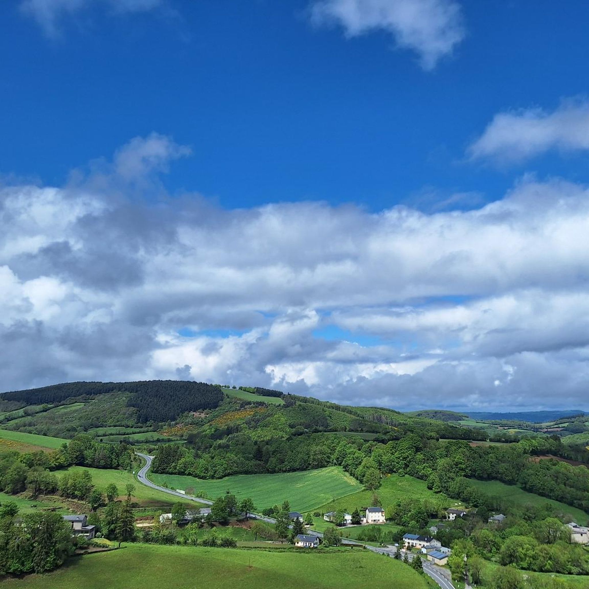
Hiking around Gijounet offers diverse terrain within France's Tarn region, characterized by the tranquil Gijou Valley with its woods, meadows, and streams. Trails ascend to the ridges of the Hautes Terres d'Oc, providing expansive views of surrounding peaks and the valley. The area features lush green forests and significant peat bogs, including Tourbière des Pansières and Tourbière de Canroute, contributing to its varied natural environment.
Best hiking trails around Gijounet
- The most popular hiking route is The rock of Montalet…
Last updated: June 24, 2026
4.4
(7)
47
hikers
18.2km
05:23
520m
520m
Hike the difficult 11.3-mile Hautes-Terres d'Oc Tour: Lacaune and Pic de Montalet Loop for panoramic views from Pic de Montalet.
15
hikers
10.9km
03:22
400m
400m
Moderate hike. Good fitness required. Easily-accessible paths. Suitable for all skill levels.

Sign up for free
16
hikers
13.1km
03:57
420m
420m
Moderate hike. Good fitness required. Easily-accessible paths. Suitable for all skill levels.
5.0
(1)
9
hikers
Moderate hike. Good fitness required. Easily-accessible paths. Suitable for all skill levels.
4.0
(1)
5
hikers
11.6km
03:23
320m
320m
Moderate hike. Good fitness required. Easily-accessible paths. Suitable for all skill levels.
Get access to more routes and recommendations from other explorers.
Sign up for free
Already have an account?
Our route recommendations are based on thousands of hikes, rides, and runs completed by other people on komoot.
Start today with a free account
Your next adventure awaits.
Login or Signup
Tips from the Community

The Wild Child: In 1798, in the woods of La Bassine, hunters discovered a child potentially adopted by wolves and raised as one of their own.
0
0

The peak of Montalet, at 1259 meters, is one of the highest peaks of the Tarn (only surpassed by the puech de Montgrand and the puech de Rascas). The view of the south of the Massif Central from the Rocher de la Vierge is magnificent.
0
0
The Roc des Ecus at 1074m offers a magnificent belvedere allowing you to enjoy a beautiful view of Lacaune.
0
0
The Roc des Ecus is not the highest of the peaks but it offers a magnificent belvedere allowing you to enjoy in particular a beautiful view of Lacaune.
0
0
The peak of Montalet, at 1259 meters, is one of the highest peaks of the Tarn (only surpassed by the puech de Montgrand and the puech de Rascas). The view of the south of the Massif Central from the Rocher de la Vierge is magnificent.
1
0
Frequently Asked Questions
What kind of terrain can I expect on hikes around Gijounet?
The hiking trails around Gijounet offer a diverse landscape. You'll find paths winding through the tranquil Gijou Valley, characterized by woods, meadows, and streams. Trails also ascend to the ridges of the Hautes Terres d'Oc, providing expansive views. Expect lush green forests, including beautiful beech forests, and unique ecological sites like peat bogs such as Tourbière des Pansières and Tourbière de Canroute.
Are there hiking options for all skill levels in Gijounet?
Yes, Gijounet offers a variety of hiking trails suitable for different experience levels. There are 12 easy routes perfect for a leisurely stroll, 17 moderate trails for those seeking a bit more challenge, and 4 difficult routes for experienced hikers looking for more demanding ascents and longer distances.
What are some notable natural features or landmarks to see while hiking near Gijounet?
Hikers can discover several remarkable natural features and landmarks. The Montalet Peak and Roc des Ecus offer stunning panoramic views. You can also explore the Gijou Valley, a classified Natura 2000 zone, and unique peat bogs. Along the greenway, look out for Gourp Fumant, a site with historical tunnels and viaducts.
Are there any family-friendly hiking routes in the Gijounet area?
Absolutely. The region offers several easy routes suitable for families. A great option is the Voie Verte (Greenway) from Gijounet to Lacaune, an almost 11 km long path built on a former railway line. It features minimal elevation changes and shaded sections, making it accessible and enjoyable for all ages.
Can I bring my dog on the hiking trails around Gijounet?
Many trails in the Gijounet area are suitable for dogs, especially those through forests and along the greenway. However, it's always recommended to keep your dog on a leash, particularly in protected natural areas like the Gijou Valley (a Natura 2000 zone) or near livestock, to protect wildlife and ensure a pleasant experience for everyone.
Are there any circular hiking routes available near Gijounet?
Yes, many of the trails around Gijounet are designed as circular routes, allowing you to start and end in the same location. For example, the Lacaune – Roc des Ecus loop from Lacaune and the U6oc, 865.06 – Roc des Ecus loop from Maresquier are popular circular options that explore the local hills and valleys.
What is the best time of year to go hiking in Gijounet?
Gijounet is beautiful for hiking throughout much of the year. Spring and autumn offer pleasant temperatures and vibrant natural colors, with lush green forests providing shaded paths. Summer is also enjoyable, especially in the cooler, shaded forest sections. While not explicitly detailed, the region's diverse landscape suggests year-round appeal, with appropriate gear for each season.
What do other hikers enjoy most about the trails in Gijounet?
The hiking trails around Gijounet are highly rated by the komoot community, with an average score of 4.4 stars from over 60 reviews. Hikers often praise the diverse terrain, from tranquil valley walks to expansive ridge views, and the serene natural environment of the Gijou Valley and surrounding forests.
Are there any historical sites or unique cultural features to discover while hiking?
Beyond natural beauty, Gijounet offers unique historical features. You can find 'pesquiers,' which are artificial water reservoirs over 200 years old, used for irrigation. The village itself boasts 16th and 17th-century houses, adding to the area's tranquil and historic ambiance.
What are some options for longer or more challenging hikes in the area?
For experienced hikers seeking a greater challenge, the region offers longer trails such as the GR® de Pays Routes in Mountains & Lakes in Haut-Languedoc. A section between Gijou and Raviège provides a challenging 78.1 km journey. Additionally, routes like The rock of Montalet - loop starting from Lacaune, at 18.2 km, offer significant elevation changes and expansive views.
Is there a greenway or easy path suitable for cycling or a relaxed walk?
Yes, the Voie Verte (Greenway) from Gijounet to Lacaune is an excellent option. This nearly 11 km path is built on a former railway line, ensuring minimal elevation changes. It's perfect for a relaxed walk, cycling, or even pushing a stroller, and features shaded sections through forests, tunnels, and viaducts.
How many hiking trails are available around Gijounet?
There are over 30 hiking trails available around Gijounet, offering a wide range of experiences from easy strolls to more challenging ascents. This includes 12 easy, 17 moderate, and 4 difficult routes.
Most popular attractions around Gijounet

Get inspired with the komoot mobile app


Explore more
Browse the best Hikes in other regions.
