The best running trails around Alboussière
4.5
(177)
8,506
runners
285
runs
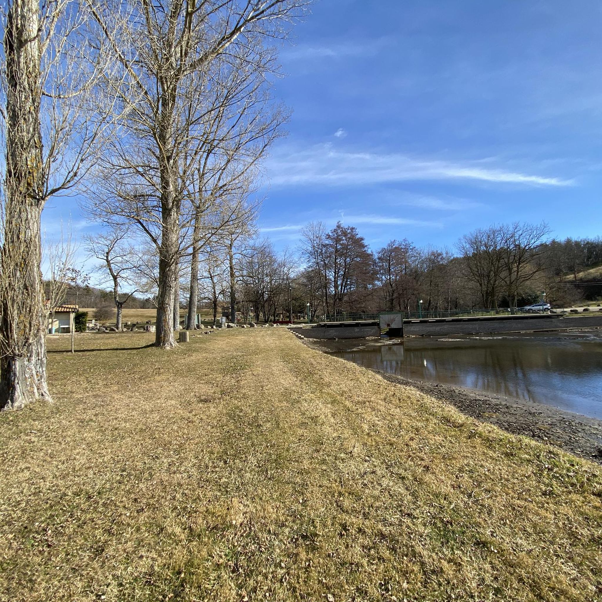
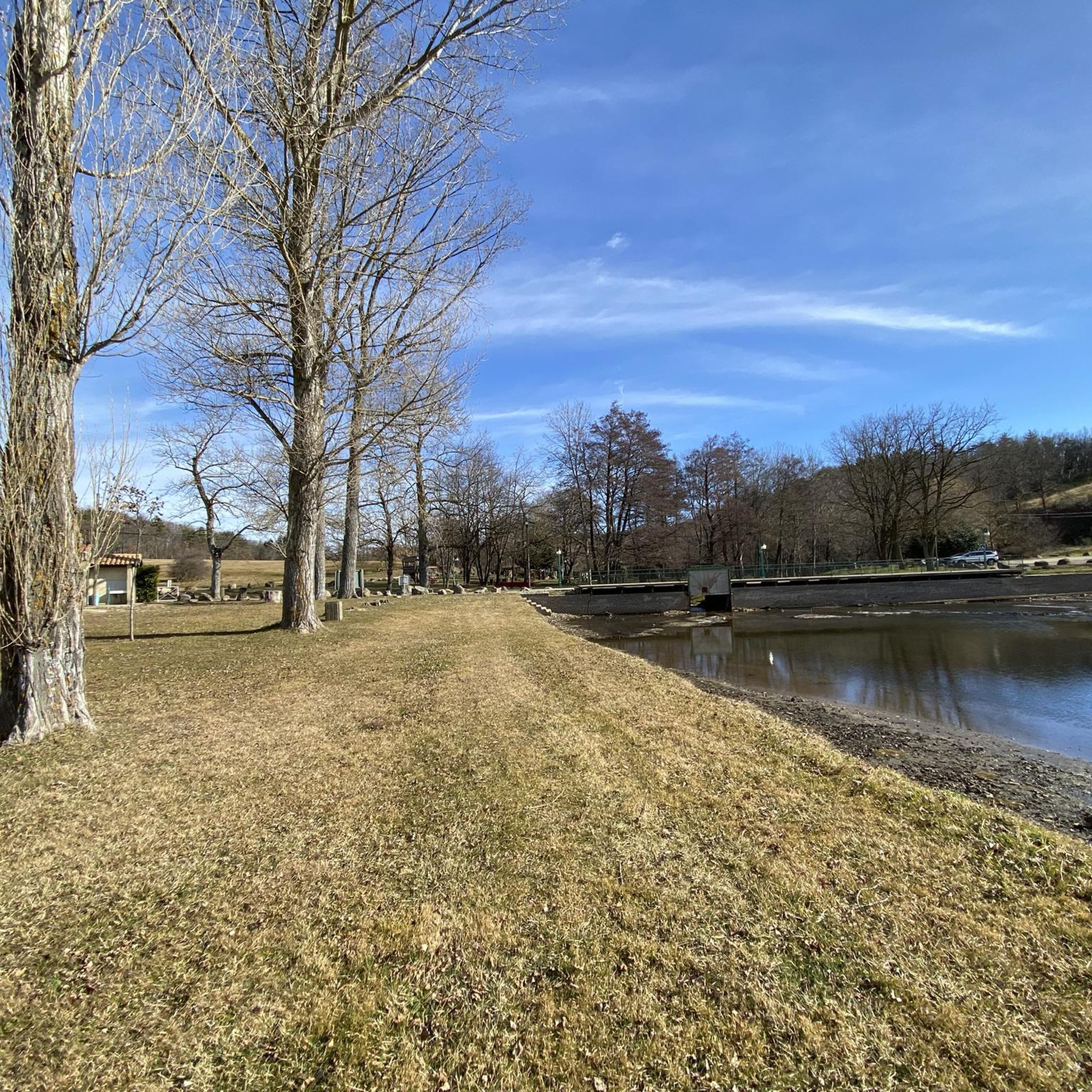
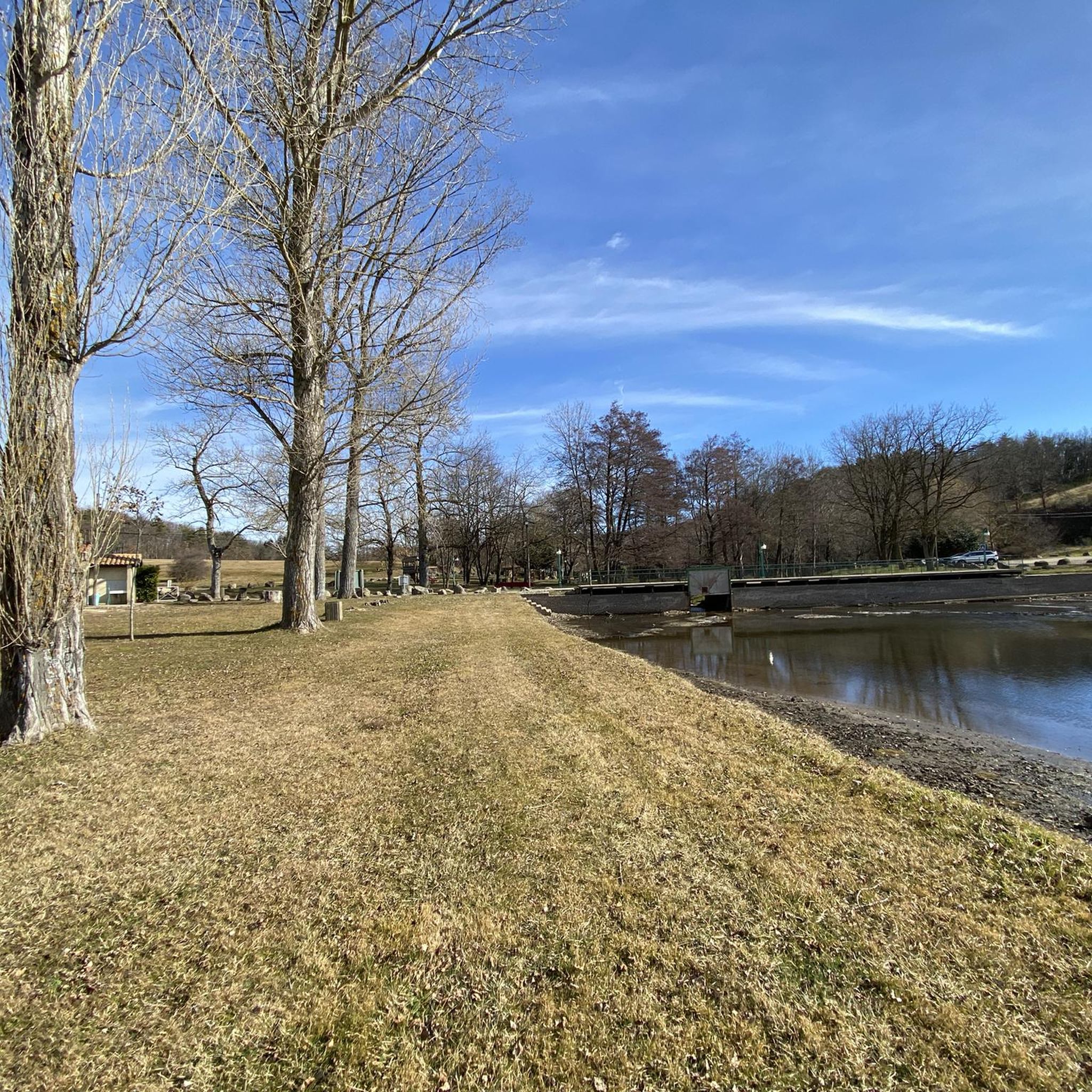
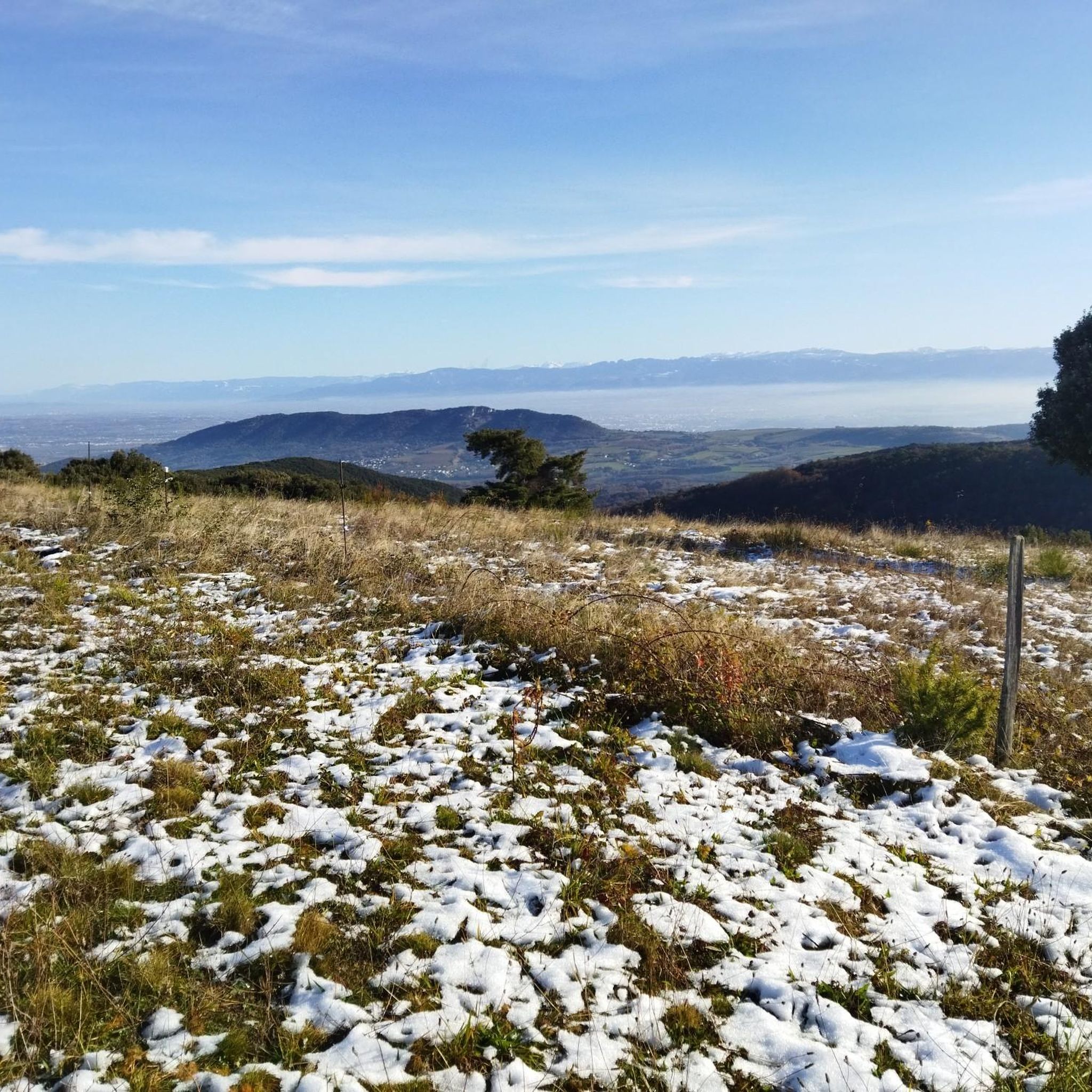
Jogging around Alboussière offers diverse landscapes, from green, wooded hills to agricultural zones and meadows. The region, situated on the edge of a Vivarais plateau, features terrain ranging from 234 to 774 meters in altitude, providing varied running experiences. Extensive forests, including the municipal forest of Saint Donat, and the Duzon river contribute to the natural charm and offer shaded routes. Panoramic views over the Rhône valley and the Ardèche countryside are accessible from many trails.
Best jogging routes around…
Last updated: July 1, 2026
5.0
(4)
176
runners
8.34km
00:54
50m
50m
Moderate run. Good fitness required. Mostly paved surfaces. Suitable for all skill levels.
4.0
(1)
22
runners
14.9km
02:07
670m
660m
Hard run. Very good fitness required. Mostly paved surfaces. Suitable for all skill levels.

Sign up for free
5.0
(1)
9
runners
11.5km
01:24
270m
270m
Moderate run. Good fitness required. Mostly paved surfaces. Suitable for all skill levels.
5.0
(1)
9
runners
7.04km
01:01
310m
310m
Hard run. Very good fitness required. Mostly paved surfaces. Suitable for all skill levels.
7
runners
8.56km
00:55
130m
140m
Moderate run. Good fitness required. Mostly paved surfaces. Suitable for all skill levels.
Get access to more routes and recommendations from other explorers.
Sign up for free
Already have an account?
Our route recommendations are based on thousands of hikes, rides, and runs completed by other people on komoot.
Start today with a free account
Your next adventure awaits.
Login or Signup

Tips from the Community

Very nice route, the climbs are quite steep, but the landscape is so beautiful that the effort goes away on its own (or almost!!).
2
0
Frequently Asked Questions
How many running routes are available in Alboussière?
Alboussière offers a wide selection of running routes, with over 280 trails available. These range from easy paths to more challenging ascents, catering to all fitness levels.
What makes jogging in Alboussière unique?
Jogging in Alboussière is unique due to its diverse topography, situated between the Monts d'Ardèche and the Rhône valley. You'll find a mix of green, wooded hills, agricultural zones, and meadows, with elevations ranging from 234 to 774 meters. The region is characterized by its 'ridge and rural village' feel, offering stunning panoramic views over the Rhône valley and the Ardèche countryside.
What do other runners say about the trails in Alboussière?
The running routes in Alboussière are highly rated by the komoot community, with an average score of 4.5 stars from over 140 reviews. Runners often praise the varied terrain, the natural beauty of the wooded areas, and the rewarding panoramic views.
Are there easy running routes for beginners in Alboussière?
Yes, Alboussière has 25 easy running routes perfect for beginners or those looking for a gentle jog. These paths typically feature less elevation gain and smoother surfaces, allowing for a relaxed experience amidst the natural scenery.
Are there challenging trails for experienced runners?
Absolutely. For experienced runners seeking a challenge, there are 85 difficult routes around Alboussière. These trails often feature significant elevation changes and varied terrain, such as the Ruisseau de Jergne loop from TAD Biousse, which covers 7.5 miles (12.1 km) with over 425 meters of ascent.
Can I find long-distance running options around Alboussière?
Yes, for longer runs, you can explore routes that connect charming villages or utilize sections of the nearby Dolce Via, a 90 km cycling itinerary that can also be suitable for jogging. Routes like the Chapelle loop from Bergeron offer a moderate 7.1 miles (11.5 km) distance, providing a good option for a longer workout.
Are there any circular running routes in Alboussière?
Many of the running routes in Alboussière are circular, offering convenient starting and ending points. Popular examples include Le Mialan loop from TAD Biousse, a 3.9-mile (6.3 km) trail, and the Château de Crussol loop from TAD Biousse, which is 5.0 miles (8.1 km) long.
Can I find scenic running routes with good viewpoints?
Alboussière is rich in scenic routes with breathtaking viewpoints. Many trails offer panoramic vistas over the Rhône valley and the Ardèche countryside. For exceptional views, consider routes near Désaignes which overlook the Doux valley, or visit the Rosières hamlet near Alboussière. You can also find stunning views from the Esplanade du Champ de Mars.
Are the running trails in Alboussière suitable for families?
Yes, many of the easier and moderate trails in Alboussière are suitable for families, offering pleasant walks or gentle jogs through forests and meadows. The varied terrain ensures there are options for different ages and fitness levels, allowing families to enjoy the outdoors together.
Are dogs allowed on the running trails?
Generally, dogs are welcome on many of the outdoor trails in the Alboussière region, especially in natural areas like the municipal forest of Saint Donat. However, it's always advisable to keep them on a leash, especially in agricultural areas or near wildlife, and to check specific trail regulations if posted.
What kind of natural features can I expect to see while running?
While running in Alboussière, you'll encounter diverse natural features including extensive forests (nearly half the region is wooded), green hills, and the Duzon river. The varied elevation provides a dynamic landscape, from gentle valleys to higher ridges offering expansive views. The region's natural charm is perfect for outdoor enthusiasts.
Are there any historical or cultural sights along the running paths?
Some running routes in Alboussière can incorporate historical elements. You might pass by ancient megaliths or the intriguing 'Pierre Branlante' (rocking stone). Additionally, routes can offer glimpses of historical structures like the 14th-century Château de Crozat, or provide views of the impressive Crussol Castle.
Is parking available near the trailheads?
Yes, parking is generally available near many trailheads and villages in the Alboussière area. As a rural region, many starting points for routes, particularly those originating from hamlets like TAD Biousse or Bergeron, offer convenient places to park your vehicle before heading out for your run.
Most popular routes around Alboussière
Most popular attractions around Alboussière

Get inspired with the komoot mobile app


Explore more
Browse the best Running Trails & Routes in other regions.
