The best cycling routes around Catenoy
4.6
(211)
1,376
riders
237
rides
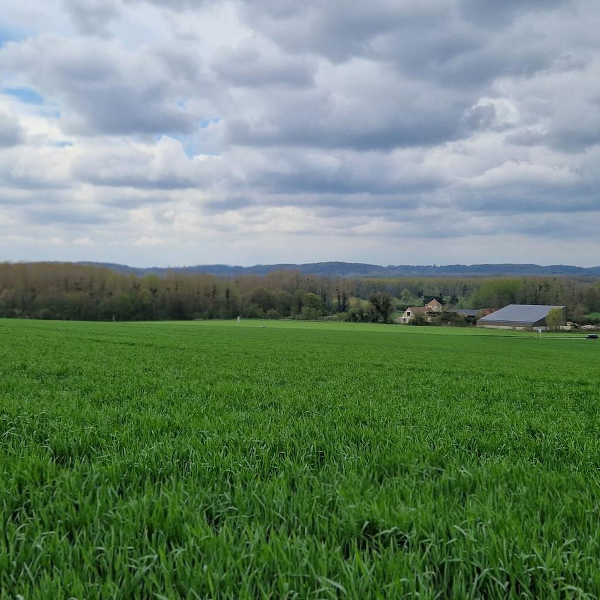
Touring cycling around Catenoy offers routes within the Oise-Pays de France Regional Natural Park, characterized by expansive state-owned forests such as Foret d'Halette and Forêt de Hez-Froidmont. The terrain includes varied topography with elevations ranging from 53 to 163 meters, featuring valleys, groves, and plains. While generally easy to cycle, some routes incorporate local climbs like the Côte de Catenoy, providing a mix of leisurely and more challenging sections. This region provides a network of paths suitable for exploring its…
Last updated: July 5, 2026
18
riders
43.5km
03:42
580m
580m
Hard bike ride. Very good fitness required. Mostly paved surfaces. Suitable for all skill levels.
5.0
(2)
11
riders
44.5km
02:49
310m
310m
Moderate bike ride. Good fitness required. Mostly paved surfaces. Suitable for all skill levels.

Sign up for free
5
riders
18.4km
01:08
170m
170m
Moderate bike ride. Good fitness required. Mostly paved surfaces. Suitable for all skill levels.
11
riders
40.5km
03:31
550m
550m
Hard bike ride. Very good fitness required. Mostly paved surfaces. Suitable for all skill levels.
11
riders
23.6km
02:06
160m
160m
Moderate bike ride. Good fitness required. Mostly paved surfaces. Suitable for all skill levels.
Get access to more routes and recommendations from other explorers.
Sign up for free
Already have an account?
Our route recommendations are based on thousands of hikes, rides, and runs completed by other people on komoot.
Start today with a free account
Your next adventure awaits.
Login or Signup



Tips from the Community


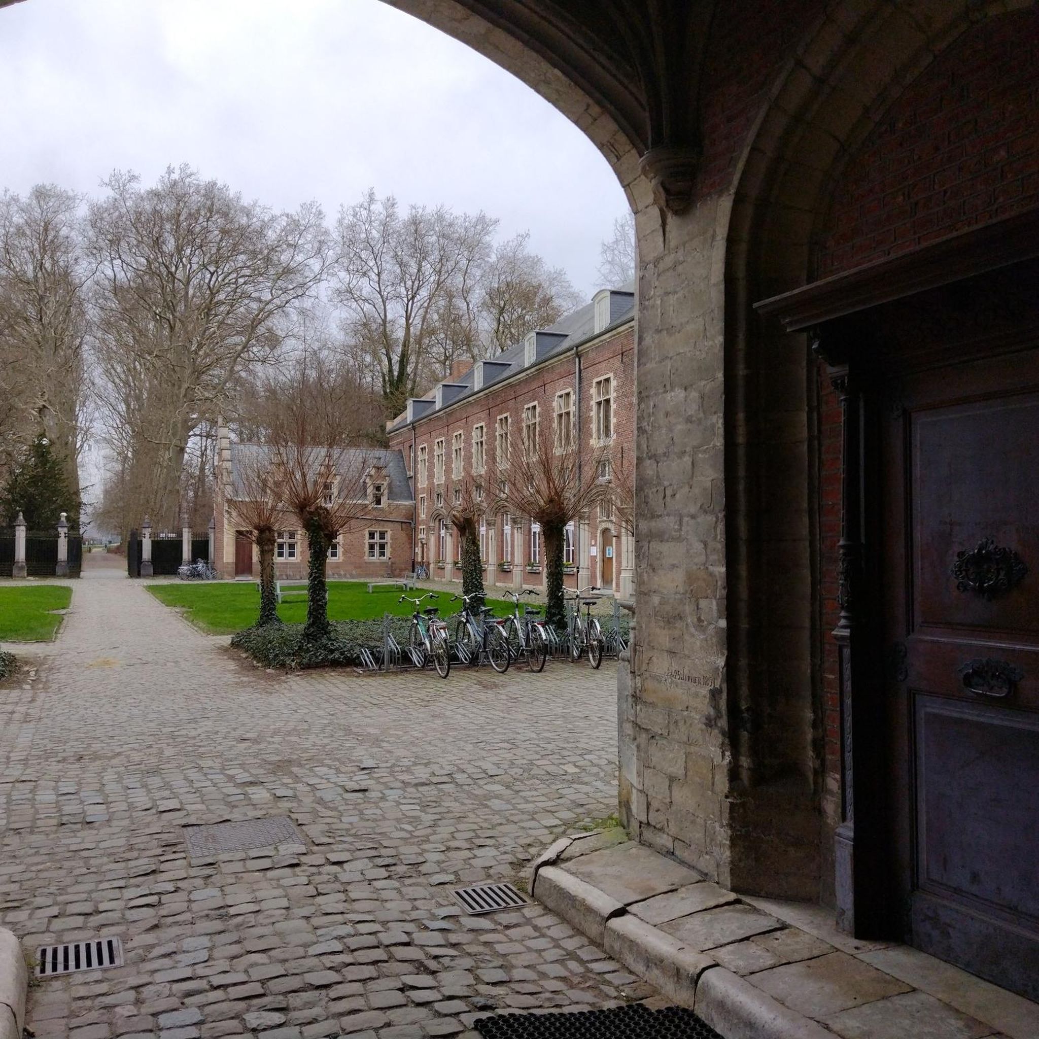
Take a break, it's a calm and beautiful place.
0
0

Nestled between the church and the village, the Étournelles vegetable garden in Breuil-le-Sec, created in 1851 by landscaper Louis-Sulpice Varé, retains the charm of its original English-style garden. Behind its high walls, eight squares bordered by boxwood are planted with vegetables, fruits, and flowers in a perfect balance between aesthetics and production. Maintained continuously for over 160 years, this rare, nourishing garden has been listed in the Inventory of Historic Monuments since 2004.
0
0

A place steeped in history and remarkable architecture! The Saint-Martin Church in Breuil-le-Vert elegantly blends Romanesque and Gothic styles, offering a true journey through time. The sculpted details, including the 16th-century Charity of Saint Martin, are magnificent. A monument worth discovering for lovers of heritage and tranquility. A local gem not to be missed!
0
0
A moving place steeped in memory. The Sacy-le-Grand Colored War Memorial stands out for its originality and vibrant tribute to local heroes. The colors add an artistic dimension that catches the eye and invites reflection. A must-see for those wishing to pay their respects while discovering a unique aspect of the town.
1
0

For a long time, there was no other church than the collegiate church in the castle. The new parish church, whose construction date remains uncertain, was consecrated in 1327 by Jean de Marigny under the name of Saint Samson, Bishop of Dol-de-Bretagne. The chapel windows feature magnificent stained-glass windows, some dating back to the 16th century. It's a delight to gaze upon the colorful, richly colored stained-glass windows! 👍
4
0

The Château de Chantilly, designed by Henri d'Orléans, Duke of Aumale, is a jewel of French heritage. You can admire its stained-glass windows, organ, and bas-relief depicting a corpse, as well as the ruins of the medieval castle nearby. The church is located on a hilltop offering panoramic views of the valley and plain.
4
0
Frequently Asked Questions
What is the typical terrain and elevation for touring cycling around Catenoy?
The region around Catenoy, situated within the Oise-Pays de France Regional Natural Park, offers a varied landscape. You can expect to cycle through expansive state-owned forests, valleys with tree-covered hillsides, intimate groves, and extensive plains. While many routes feature easy-to-cycle narrow roads and country lanes, there are also sections with more challenging ascents, such as the local climb known as Côte de Catenoy, which has an average gradient of 5.5% over 1.8 km. Overall elevation in Catenoy ranges from 53 to 163 meters, providing a mix of leisurely and more demanding sections.
How many touring cycling routes are available around Catenoy?
There are over 230 touring cycling routes available around Catenoy, catering to various skill levels. This includes 95 easy routes, 107 moderate routes, and 35 difficult routes, ensuring options for every touring cyclist.
Are there any notable landmarks or natural features to see while cycling near Catenoy?
Yes, the region offers several interesting landmarks and natural features. You can explore historical sites like the Royal Abbey of Moncel or visit religious buildings such as the Saint-Samson Church of Clermont and Breuil-Le-Vert Church. The Oise-Pays de France Regional Natural Park itself is characterized by vast forests like Foret d'Halette and Forêt de Hez-Froidmont, providing scenic and immersive natural environments.
What is the best time of year for touring cycling in Catenoy?
The Oise department, where Catenoy is located, is generally pleasant for cycling from spring through autumn. The vast forests offer shaded routes during warmer months, and the varied topography is enjoyable in milder weather. To make the most of the natural beauty and avoid extreme temperatures, late spring (May-June) and early autumn (September-October) are often ideal.
Are there family-friendly touring cycling routes in Catenoy?
Yes, Catenoy and the surrounding Oise-Pays de France Regional Natural Park offer numerous routes suitable for families. With 95 easy routes available, many paths traverse gentle terrain through forests and country lanes, providing a safe and enjoyable experience for all ages. For example, routes originating from nearby towns like Chantilly offer easy options, such as a 12 km route to the Commelles ponds.
What do other touring cyclists enjoy most about cycling in Catenoy?
The touring cycling routes around Catenoy are highly rated by the komoot community, with an average score of 4.6 stars from over 140 reviews. Cyclists often praise the extensive forests, varied topography, and the mix of leisurely and more challenging sections. The region's natural beauty and well-maintained paths contribute to a highly enjoyable experience.
Are there any circular touring cycling routes around Catenoy?
Yes, many touring cycling routes around Catenoy are designed as loops, allowing you to start and end in the same location. Examples include the difficult Fun – Sacy legrand loop from Sacy-le-Grand, a 41.4 km route, or the moderate Offroad padje – Breuil-Le-Vert Church loop from Rosoy, which covers 44.9 km. Another moderate option is the Nointel Town Hall – offroad padje loop from Rosoy, an 18.3 km trail.
Is public transport available to reach cycling routes near Catenoy?
While Catenoy itself is a small commune, its proximity to larger towns within the Oise department means that public transport options, such as regional trains and buses, can connect you to the broader cycling network. Many cycle tourism routes, including those from towns like Chantilly and Senlis, are accessible via public transport, allowing you to start your ride from various points within the Oise-Pays de France Regional Natural Park. For detailed information on public transport options to specific starting points, it's advisable to check local transport schedules.
What kind of cycling infrastructure can I expect in the Oise-Pays de France Regional Natural Park?
The Oise-Pays de France Regional Natural Park is well-equipped for cyclists, boasting over 1,000 kilometers of footpaths and dedicated cycling routes. The region features numerous cycle tourism routes, including segments of major European routes like the 'Avenue Verte London-Paris' and 'Scandibérique (EuroVelo 3)'. You'll find a mix of easy-to-cycle narrow roads, country lanes, and greenways, often incorporating cultural and historical sites. Resources like downloadable mountain bike hiking sheets and a free smartphone application ('Oise Rando') are also available to enhance your touring experience.
Are there options for more challenging touring cycling routes around Catenoy?
Yes, for cyclists seeking more challenge, there are 35 difficult routes available around Catenoy. These routes often feature significant elevation gains and longer distances. For instance, the Fun – Sacy legrand loop from Sacy-le-Grand is a difficult 41.4 km trail with over 500 meters of elevation gain. Another challenging option is the Sacy legrand – Breuil-Le-Vert Church loop from Bailleval, a 40.5 km route with over 550 meters of ascent.
Can I rent a bike near Catenoy for touring cycling?
While Catenoy itself is a small village, bike rental services are available in nearby towns within the Oise-Pays de France Regional Natural Park. These services cater to various cycling needs, including touring bikes, allowing you to explore the extensive network of routes without bringing your own equipment. It's recommended to check with tourist information centers in larger towns like Chantilly or Senlis for current rental options.
What are some of the longer touring cycling routes available?
For those looking for longer rides, several routes extend beyond 40 km. The Offroad padje – Breuil-Le-Vert Church loop from Rosoy is a moderate 44.9 km path. Another option is the difficult It's going up... Ouch – Château Saint Louis Pond loop from Nointel, which spans 49.3 km and includes notable elevation.
Most popular attractions around Catenoy

Get inspired with the komoot mobile app


Explore more
Browse the best Cycling routes in other regions.
